Browse Items (12 total)
- Tags: Tampa
Sort by:
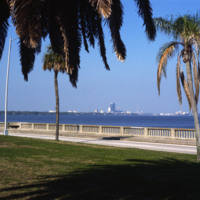
Florida: View from St. Petersburg to Tampa
This picture shows the skyline of Tampa from St. Petersburg. The body of water separating the two cities is the Tampa Bay. The large dark colored building in the center of the photo is the Lykes Building, now called Park Tower. The two cities can be…
Tags: Florida, Lykes Building, Park Tower, St. Petersburg, Tampa, Tampa Bay
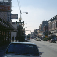
Florida: Ybor City 7th Avenue
Ybor City’s 7th Avenue spans 11 blocks between 26th Street and the Nick Nuccio Parkway. Having been settled by many cigar manufacturers, 7th Avenue was known as the heart of the cigar industry. At one point, there were over 230 factories established…
Tags: 7th Avenue, cigar industry, El Sol Cigars, Florida, shops, Tampa, Ybor City
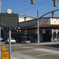
Florida: Columbia Restaurant in Ybor City
Known for its Latin flare, Tampa’s Ybor City is one of the highlights for tourists visiting the city. Located northeast of downtown, this historic city was founded by a large number of cigar manufacturers. With red brick buildings, iron balconies,…
Tags: Florida, historic, Tampa, The Columbia Restaurant, Ybor City
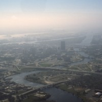
Florida: Hillsborough River in Tampa
Pictured is an aerial view of the Hillsborough River in the city of Tampa, Florida. The river originates in The Green Swamp located in central Florida and flows downward for 59 miles until it empties into Tampa Bay. The middle river is the city of…
Florida: Howard Frankland Bridge (Causeway #275)
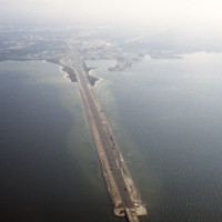
This is an aerial shot of the Howard Frankland Bridge connecting St. Petersburg to Tampa showing Causeway 275 on the Tampa side. The body of water it rests atop is the Old Tampa Bay. It was initially completed in the 1960s, and comprised of four…
Tags: aerial, bridges, Florida, highways, Interstate 275, St. Petersburg, Tampa, Tampa Bay
Tampa: Sacred Heart Catholic Church
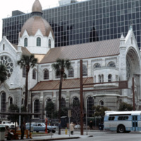
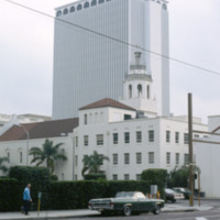
The Sacred Heart Catholic Church is one of the oldest churches in the city of Tampa, Florida. Originally deeded to be at Ashley Drive and Twiggs Street, the Sacred Heart Church was constructed in 1859 on North Florida Ave. With a growing parish, the…
Tags: churches, downtown, Florida, Sacred Heart Catholic Church, Tampa
Florida: Aerial of Downtown Tampa (3 of 3)
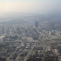
Here is another aerial photograph of downtown Tampa. The major body of water in the background is known as Tampa Bay. Running right through the middle of this picture is State Road 93 and Interstate 275. As part of the Florida Department of…
Florida: Aerial of Downtown Tampa (2 of 3)
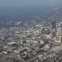
This is another aerial view of downtown Tampa. This photograph overlooks the Hillsborough Bay. Along with Old Tampa Bay, Middle Tampa Bay, and Lower Tampa Bay, the four make up what is known as Tampa Bay. Also seen in this photo are major buildings…
Florida: Aerial of Downtown Tampa (1 of 3)
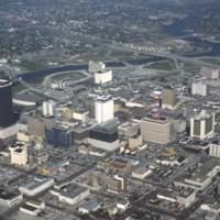
This is an aerial shot taken of downtown Tampa. Pictured at the far left of this picture is a tall brown building known formerly as the Lykes Building. Presently, it is known as Park Tower. Located at 400 North Tampa Street, this skyscraper was built…
Florida: Citizens Bank Building in Tampa
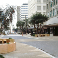
Pictured is a shopping district in downtown Tampa, Florida. To the far right of this picture is the Citizens Bank Building. Built in 1913 with a height of 145 feet tall, this building was considered the tallest building in Tampa until 1915 when the…
Tags: banks, Citizens Bank, downtown, Florida, renaissance revival, Tampa
Florida: Kress Building in Downtown Tampa
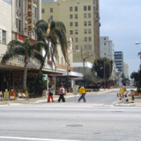
The four story building to the left of this photo is known as the Kress Building in downtown Tampa, Florida. Originally opened in 1900 on Franklin Street, the store was soon relocated to Florida Avenue in 1908. That store was demolished in 1929. That…
Florida: Franklin Exchange Building in Tampa
Built in 1957 by the MacEwen Group, this building was formerly known as the Exchange National Bank Building. This skyscraper towers over many surrounding buildings at 280 feet and 22 stories. This piece of architecture was built in the international…
