Browse Items (14 total)
- Tags: Miami Beach
Sort by:
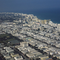
Miami Beach: South Beach, Aerial
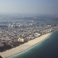
This aerial view shows most of Miami Beach’s South Beach neighborhood, including the famous Collins Avenue hotels. Also visible is the Miami Beach Golf Club, the Miami Beach Convention Center and many of the apartment style residents in South Beach.…
Tags: aerial, Miami Beach, South Beach, tourism
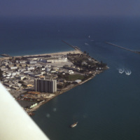
Miami Beach: South Beach Aerial View
This aerial photograph shows a South Beach that is virtually unrecognizable. Much of the area since this 1978 photograph has been redeveloped with high rise resorts.
Tags: aerial, Florida, harbor, Miami Beach, South Beach, waterfront
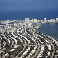
Miami Beach: Aerial View, Residential and Hotels; Carillon Hotel
The Sunset Islands were the last of the man made islands to be built in Biscayne Bay. During the 1920s a land boom fueled the creation of several man made islands in Biscayne Bay, but at the end of a decade it the boom ended and many realtors went…
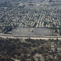
Miami Beach: Aerial View of Residential Area
Residential neighborhoods and a drive in theater seen in this aerial photograph of Miami Beach. In the 1970s Miami Beach was largely a retirement community, but emigration from Cuba largely pushed them out in the following decade and effectively…
Tags: aerial, drive-in, Florida, Miami Beach, neighborhoods
Miami Beach: Fontaineblue Hotel
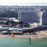
The Fontainebleu Hotel in Miami Beach is the largest and grandest example of Miami Modernist Architecture (MiMo). It was designed by Morris Lapidus, who designed many of the building in Miami Beach, and completed in 1954. In 2008 the Fontainebleu…
Miami Beach: Aerial Photograph, Oceanfront Looking North
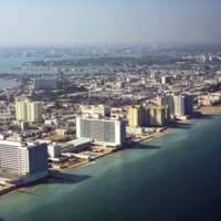
Looking north across Miami Beach’s Oceanfront show’s the hotels lined up on Collins Ave., the Bal Harbor Islands and Indian Creek, and finally North Miami on the horizon.
Miami Beach: Fontainebleau Hotel, Eden Roc Renaissance Hotel; Collins Ave.
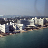
The Fontainebleau Hotel in Miami Beach is the one of the grandest hotels in the city and perhaps the epitome of Miami Modernist Architecture (MiMo). Designed by Morris Lapidus, it is considered the most significant building of his career. Just to the…
Miami Beach: Versailles Hotel Condo, Jamie Tuttle Causeway; Aerial View
The Versailles Hotel Condo was built in 1940 in a style between Miami Beach’s Art Deco and Modernist style. Behind the condo is the Jamie Tuttle Causeway, which connects the beach with Midtown Miami.
Miami Beach: Collins Ave. Hotels, Oceanfront; Carillon Hotel
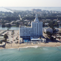
At the center of the aerial photograph is the Carillon Hotel, a wonderful example of the Miami Modernist Architectural (MiMo) style designed by Norman Giller. First opened in 1957, it has since been repurchased and modified. The current owners and…
Miami Beach: Aerial View of Bal Harbour, Collins Ave.
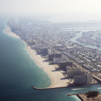
Looking south, this aerial photograph show’s Miami Beach’s Oceanfront in the late 1970’s. Clearly visible is the string of hotels in the style now known as Miami Modernist Architecture (MiMo) along Collins Ave. In the late 2000’s preservationists…
Miami Beach: Bal Harbour
An east facing aerial photograph shows Miami Beach’s Oceanfront and Bal Harbor Islands in the late 1970’s. In the 1970’s Miami Beach’s tourism industry saw declines. Over the next decade, hundreds of Cuban refugee’s would move into the area which in…
Miami Beach: Bal Harbour Area
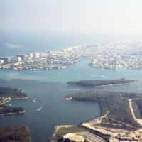
This southeast facing photograph looks across Bal Harbor toward Miami Beach’s Oceanfront. Visible at the bottom of the frame is construction of Florida International University’s Biscayne Bay Campus.
Miami Beach: Bal Harbour
This aerial view shows Bal Harbor, Bal Harbor beach, and Biscayne Bay. At frame left, just above the small island, is where Florida International University’s Biscayne Bay Campus would be located. In this image some of the early construction for the…
Miami Beach: Aerial Photograph of Oceanfront, Hotels
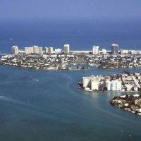
An aerial photograph of La Gorce island in Miami Beach, Florida. In the foreground is La Gorce Golf Course and Country Club. The eastern shore is lined with hotels and resorts.
Tags: aerial, Florida, La Gorce island, Miami Beach, tourism, waterfront
