Dublin Core
Title
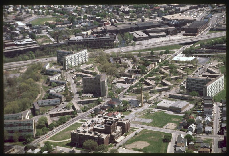
Hartford: Public Housing
Description
The working class housing of the Hartford neighborhood was destroyed when the Route 6 connector was built to alleviate traffic in Olneyville Square. Low-income housing (Hartoford Park Public Housing Project seen here) was built on Corbusian principles of the Radiant City (1935). The mills behind the Atlantic Furniture Mills were demolished and the land is currently Woonasquatucket River Greenway which includes a bike path. Merino park is to the north west (lefthand corner). Oliver Hazard Perry Middle School appears in the center-left.
Creator
Chester Smolski
Date
1985-01-01
Rights
Rhode Island College
Format
Photograph
Photograph
Identifier
5212
Smolski Image Item Type Metadata
City
Providence
Country
United States of America
Library of Congress Subject Headings
Hartford Ave.Urban development-- Rhode Island-- Providence; Aerial photography in city planning-- Rhode Island-- Providence; City planning-- Rhode Island-- Providence; Land use, Urban-- Rhode Island-- Providence; Low income housing -- Rhode Island -- Providence; Urban parks -- Rhode Island -- Providence
Region
Rhode Island
