Browse Items (993 total)

  • Collection: Chester Smolski Photographs

http://www.ricdigitalcommons.com/temp/1281.jpg
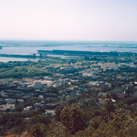
The St. Louis River flows into Lake Superior. Duluth, which is located on the banks of the river and Lake Superior, experienced tremendous industrial growth during the 19th and twentieth centuries which created large amounts of pollution in the…

http://www.ricdigitalcommons.com/temp/1231.jpg
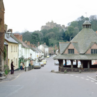
Dunster has been recognized as one of England’s best preserved medieval villages. The city developed a market for woolen and clothing production as early as the 13th century. The Yarn Market, the octagonal building at the right of the frame, was…

http://www.ricdigitalcommons.com/temp/0932.jpg
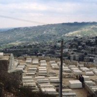
The Jewish Cemetary on the Mount of Olives has been active for over 2000 years. The site is desirable for those of Jewish faith as a Bible verse (Zech. 14:4) claims that the resurrection will begin here when the messiah arrives. The Mount of Olives…

http://www.ricdigitalcommons.com/temp/5496.jpg
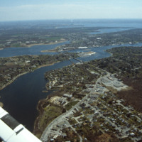
East Providence is a long, narrow, zigzag-shaped town squeezed between the Seekonk River to the west and, to the east, the Ten Mile and Runnins rivers, Barrington has the highest per capita income of any town in the state. The architectural pilgrim…

http://www.ricdigitalcommons.com/temp/0812.jpg
This photograph shows industrial and commercial developments in East Providence along state highway 114. Just barely visible on the horizon is Narragansett bay. The containers on the bay have since been torn down and the area has largely returned…

http://www.ricdigitalcommons.com/temp/1320.jpg
The East Providence Waste Water Treatment Facility was constructed between 1952 and 1954, opening in 1954. The Pomham Lighthouse, located in Narragansett Bay and in the center of this photograph, was operated by the U.S. Coast Guard from the time it…

http://www.ricdigitalcommons.com/temp/1269.jpg
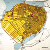
This map of Eastern Flevoland is from the 1960s and may be used in reference to images from the Smolski collection photographed in 1960. See Smolski Images: Irrigation of wheat Northeast Polder Netherlands; Netherlands: Sluice Gates on Enclosure Dam…

http://www.ricdigitalcommons.com/temp/5269.jpg
A view of Eaton St. triple-decker houses, just before the intersection of Douglas Avenue (Rt. 7). These houses were, oftentimes, built in groups of three or more and appeared in rows lining street after street. Eventually, the presence of these…

http://www.ricdigitalcommons.com/temp/5179.jpg
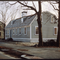
This late eighteenth-century Dutch gambrel-roofed farmhouse stood on Chalkstone Ave. where the parking lot to Roger Williams Hospital stands. Angela Brown Fischer, daughter of John Brown (d. 1979) moved this house opposite the Nightingale-Brown House…

http://www.ricdigitalcommons.com/temp/1270.jpg
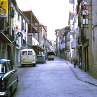
El Escorial is named for deposits found in the area from an old foundry. This photograph shows the narrow steers and stone buildings that are typical of the area. El Escorial is a municipality in the Autonomous Community of Madrid.

http://www.ricdigitalcommons.com/temp/5036.jpg
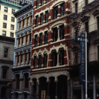
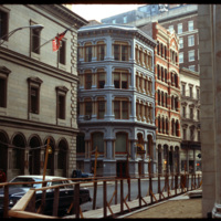
Pictured on the left, the Equitable Building (1872, 36 Weybosset St.) features a locally cast iron "Venetian" facade that is the best preserved of the few cast-iron facades in the city. The facade was cast by the Builders Iron Foundry. The design of…

5372.jpg
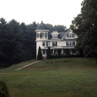
This Queen Anne mansion was built by the Tinkham family. It's position on Sweet Hill, slightly elevating it above Harrisonville Mill, visually demonstrates the lordship-like status of a Victorian mill owner. The three story cylindrical corner, topped…

http://www.ricdigitalcommons.com/temp/1122.jpg
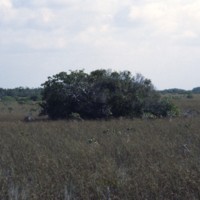
Southern and central regions of the Everglades is densely packed with sawgrash marsh. It is the largest sawgrass marsh in the world. This particular type of grass has sharp “teeth” covering the blade’s edge and has the capacity to grow to lengths of…

http://www.ricdigitalcommons.com/temp/1126.jpg
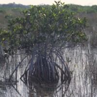
Pictured is a mangrove tree situated in the marsh of the Everglades. This tree is especially adapted to survive in this environment as they can survive in salt water and fresh water environments. There are three species of mangrove trees that can be…

http://www.ricdigitalcommons.com/temp/1123.jpg
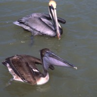
Pictured are two wading birds that are native to the Everglades. This is a very biologically diverse area, being home to many rare and endangered species of birds, plants, and animals. Some of these species include: the great blue heron, the Florida…

http://www.ricdigitalcommons.com/temp/1125.jpg
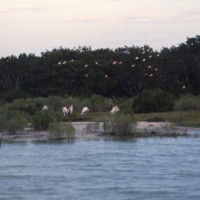
Captured in this picture is some of the Everglades’ wildlife amongst its dense marshes. A cluster of Roseate Spoonbill’s can be seen nesting in the tress of the background of this picture. This species of birds is native to the coastal areas of…

http://www.ricdigitalcommons.com/temp/4806.jpg
The Exchange Bank Building, pictured here in 1979, is a commercial building in the Queen Anne style. The brick building featured granite trim typical of commercial buildings, and was rehabilitated as part of the Fleet Center complex in the 1980's.

http://www.ricdigitalcommons.com/temp/0418.jpg
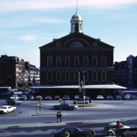
  The Samuel Adams Statue and Faneuil Hall in Boston, Massachusetts. The historic building was originally a market built in 1742 by Peter Faneuil. Town hall meetings were held at Faneuil Hall between 1764 and 1774.  It was during the town hall…

http://www.ricdigitalcommons.com/temp/0430.jpg
  An aerial view of the historic Faneuil Hall marketplace, Quincy Market, and surrounding buildings. (date of photograph has been approximated)

http://www.ricdigitalcommons.com/temp/0429.jpg
  Faneuil Hall and Quincy Market, historic Boston landmarks, fell into disrepair in the mid 1900s. The buildings were tagged for demolition until concerned residents banded together to save them in the early 1970s. The historic buildings have since…

http://www.ricdigitalcommons.com/temp/0408.jpg
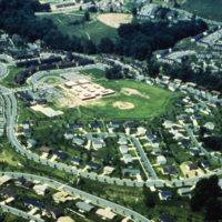
  Faulkner Ridge is one of the neighborhoods in the Wilde Lake village of Columbia, Maryland. The planned community of Columbia was designed by The Rouse Company in the late 1960s. The community consists of ten self-contained villages which are…

http://www.ricdigitalcommons.com/temp/5035.jpg
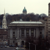
A view into the residential area of East Providence, overlooking the Federal Building and Kennedy Plaza. The First Baptist Church is on the left, and the green dome of the First Church of Christ, Scientist is rising through the skyline.

The Federal…

http://www.ricdigitalcommons.com/temp/4808.jpg
The Federal Building (left) was completed in 1857 in the format of an Italianate Renaissance palace. Though not visible, the building is capped by an iron-cast dome that was conceived after construction on the building began. The intent of the dome…

5211.jpg
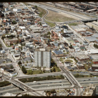
The Federal Hill neighborhood is home to approximately 8,000 residents and has been the traditional center of Rhode Island

http://www.ricdigitalcommons.com/temp/5250.jpg
Downtown Providence is the result of a westward expansion from Market Square, the town’s first commercial center. The gradual transition of business activity across the Providence River in the early years of the nineteenth century resulted in…

http://www.ricdigitalcommons.com/temp/5225.jpg
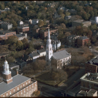
First Baptist Church was founded by Roger Williams in 1638. The building that stands today on North Main Street was built between 1774 and 1775. This building shows Providence’s increasing wealth and power during this time period. John and Joseph…

http://www.ricdigitalcommons.com/temp/5227.jpg
The First Baptist Church in America has been on College Hill in downtown Providence since 1638. The church was founded by Roger Williams in 1638. The building that stands today on North Main Street was built between 1774 and 1775. John and Joseph…

http://www.ricdigitalcommons.com/temp/0409.jpg
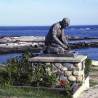
  The Fisherman’s Memorial Statue at Land’s End on Bailey Island in Maine. The statue bears the inscription,  "to all Maine Fisherman who have devoted their lives to the sea” in honor of the state’s lobster fisherman. The statue is a replica of the…

http://www.ricdigitalcommons.com/temp/0724.jpg
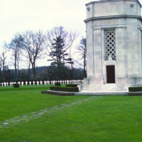
Flanders Field was the site of intense fighting throughout the First World War. Flanders Field, famous for the poem that bears it’s name, is the only American Cemetery in Belgium, containing mostly the graves of those who fell in final days of war in…

http://www.ricdigitalcommons.com/temp/1175.jpg
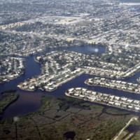
These housing developments, built on various water-ways through dredging & filling, can be found all over the coasts of St. Petersburg. Much of these neighborhoods were developed in the early 1950’s during a period of dredging and filling along…

http://www.ricdigitalcommons.com/temp/1146.jpg
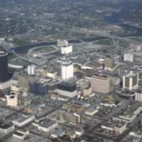
This is an aerial shot taken of downtown Tampa. Pictured at the far left of this picture is a tall brown building known formerly as the Lykes Building. Presently, it is known as Park Tower. Located at 400 North Tampa Street, this skyscraper was built…

http://www.ricdigitalcommons.com/temp/1147.jpg
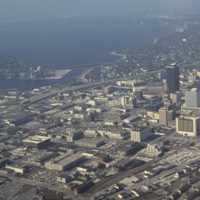
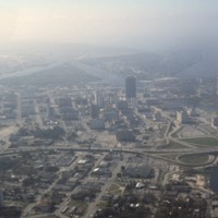
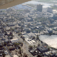
This is another aerial view of downtown Tampa. This photograph overlooks the Hillsborough Bay. Along with Old Tampa Bay, Middle Tampa Bay, and Lower Tampa Bay, the four make up what is known as Tampa Bay. Also seen in this photo are major buildings…

http://www.ricdigitalcommons.com/temp/1148.jpg
Here is another aerial photograph of downtown Tampa. The major body of water in the background is known as Tampa Bay. Running right through the middle of this picture is State Road 93 and Interstate 275. As part of the Florida Department of…

http://www.ricdigitalcommons.com/temp/1144.jpg
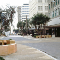
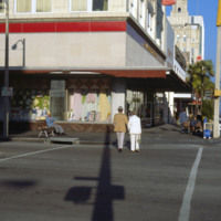
Pictured is a shopping district in downtown Tampa, Florida. To the far right of this picture is the Citizens Bank Building. Built in 1913 with a height of 145 feet tall, this building was considered the tallest building in Tampa until 1915 when the…

http://www.ricdigitalcommons.com/temp/1165.jpg
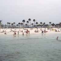
Clearwater Beach, a year-round vacation spot, spans 3 miles along the coast of Florida. With its clean white sand and various attractions, this beach, located just 20 miles from the Tampa International Airport, makes the perfect vacation spot for any…

http://www.ricdigitalcommons.com/temp/1163.jpg
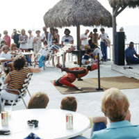
This picture was taken near the shores of Clearwater beach, located in Clearwater, Florida. People have gathered here to enjoy a vigorous limbo competition. The surrounding area here provides many sources of entertainment for its guests. The area is…

http://www.ricdigitalcommons.com/temp/1154.jpg
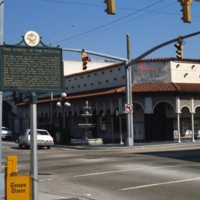
Known for its Latin flare, Tampa’s Ybor City is one of the highlights for tourists visiting the city. Located northeast of downtown, this historic city was founded by a large number of cigar manufacturers. With red brick buildings, iron balconies,…

http://www.ricdigitalcommons.com/temp/1177.jpg
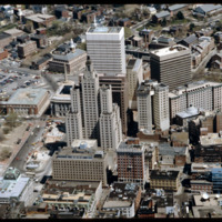
This is an aerial view of downtown Saint Petersburg, Florida in 1978. Mirror Lake can be seen in the photo as well as the harbor off in the distance, which houses the St. Petersburg Municipal Marina. Located right in front of the marina are the…
http://www.ricdigitalcommons.com/temp/1158.jpg
The first building seen here is the S. H. Kress & Co. building located in downtown St. Petersburg. This four-story building was built in 1927 as part of the S. H. Kress & Co. department store chain. The Kress company went out of business in…

http://www.ricdigitalcommons.com/temp/1156.jpg
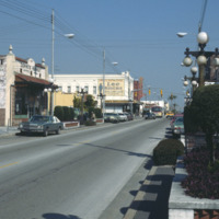
Here is another picture of downtown Ybor City on 7th Avenue. The first brick building on the left is Demmi’s Market, a small grocery store which is a favorite among locals for a slice of pizza in a lively atmosphere. The building behind Demmi’s…

http://www.ricdigitalcommons.com/temp/1120.jpg
The Everglades National Park is a public park dedicated to the conservation and preservation of this natural habitat. The Everglades area once spanned 11,000 square miles, but the National Park only protects the southern fifth of the entire region.…

http://www.ricdigitalcommons.com/temp/1171.jpg
These housing developments, built on various water ways through a process of dredging & filling, can be found all over the coasts of St. Petersburg. Many of these neighborhoods were developed in the early 1950s along the Gulf Beaches and western…

http://www.ricdigitalcommons.com/temp/1142.jpg
Built in 1957 by the MacEwen Group, this building was formerly known as the Exchange National Bank Building. This skyscraper towers over many surrounding buildings at 280 feet and 22 stories. This piece of architecture was built in the international…

http://www.ricdigitalcommons.com/temp/1153.jpg
Pictured is an aerial view of the Hillsborough River in the city of Tampa, Florida. The river originates in The Green Swamp located in central Florida and flows downward for 59 miles until it empties into Tampa Bay. The middle river is the city of…

http://www.ricdigitalcommons.com/temp/1150.jpg
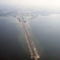
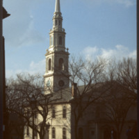
This is an aerial shot of the Howard Frankland Bridge connecting St. Petersburg to Tampa showing Causeway 275 on the Tampa side. The body of water it rests atop is the Old Tampa Bay. It was initially completed in the 1960s, and comprised of four…
http://www.ricdigitalcommons.com/temp/1143.jpg
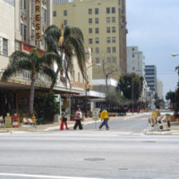
The four story building to the left of this photo is known as the Kress Building in downtown Tampa, Florida. Originally opened in 1900 on Franklin Street, the store was soon relocated to Florida Avenue in 1908. That store was demolished in 1929. That…

http://www.ricdigitalcommons.com/temp/1167.jpg
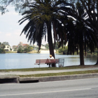
Photographed from Mirror Lake Drive, Mirror Lake is one of many lakefront neighborhoods in St. Petersburg. Mirror Lake is located in a section of St. Petersburg known as Round Lake Historic District, designated as such in 2003. In this picture the…
http://www.ricdigitalcommons.com/temp/1137.jpg
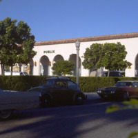
Publix Super Markets, Inc. is one of the leading privately owned grocery stores in the states of Florida, Georgia, South Carolina, Alabama, and Tennessee. The first store was opened in Winter Haven, FL in the 1930s by George Jenkins. Starting out…

http://www.ricdigitalcommons.com/temp/1157.jpg
Seen here is a densely packed neighborhood in St. Petersburg, Florida. The settlement of retired folks has been observed to be in abundance for this area. Along with many declines in housing during Workd War 1, the Great Depression, and World War 2,…

http://www.ricdigitalcommons.com/temp/1160.jpg
The downtown area of St. Petersburg is known as the Central Business District of the city. Some buildings of significance in this area include: the Bank of America Tower, the headquarters of the Tampa Bay Times newspaper, and the Mahaffey Theater…
Output Formats

atom, dcmes-xml, json, omeka-xml, rss2