Browse Items (1954 total)

http://www.ricdigitalcommons.com/Baxter_temp/CV-88-111.jpg
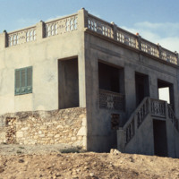
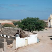
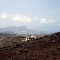
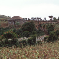
A well-preserved and intriguing building among debris, adjacent to a village in Boa Vista.

http://www.ricdigitalcommons.com/Baxter_temp/CV-81-100.jpg
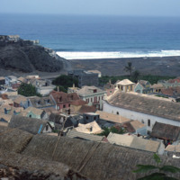
Ribeira Grande, known locally as Povoação, is a town between the Atlantic Ocean and the cliffs that is known for it's cobblestone streets. It is the commercially center of the otherwise agricultural region of the island. Here Baxter shows an elevated…
http://www.ricdigitalcommons.com/Baxter_temp/CV-89-004.jpg
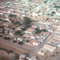
An aerial view of Vila do Maio taken from a low altitude taking during an air approach to the island. This photograph is centered around a 19th century Baroque church that was completed in 1892.

http://www.ricdigitalcommons.com/Baxter_temp/CV-89-003.jpg
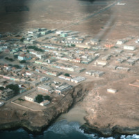
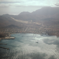
An aerial view of Vila do Maio taken from a low altitude taking during an air approach to the island.

http://www.ricdigitalcommons.com/Baxter_temp/CV-89-031.jpg
A view from the center of Vila do Maio. At the right of the frame is the Cathedral of Nossa Senhora da Luz (Our Lady of Light). Cobblestone streets are predominant in this coastal village.

http://www.ricdigitalcommons.com/Baxter_temp/CV-81-032.jpg
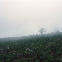
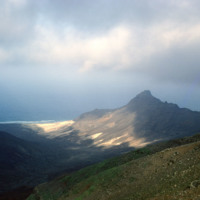
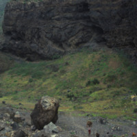
A misty landscape photographed on Monte Verde, the highest point on São Vicente.

http://www.ricdigitalcommons.com/Baxter_temp/CV-85-057.jpg
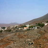
Homes, built mostly of stone and concrete, are situated along a street in the village of Jo

http://www.ricdigitalcommons.com/temp/5219.jpg
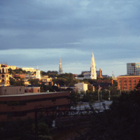
Here is a view of Providence’s East Side with three of the oldest churches in the city in the College Hill neighborhood.  To the left of the image is  a view of the Cathedral of St. John, which is located on North Main Street. This church was built…

http://www.ricdigitalcommons.com/temp/5262.jpg
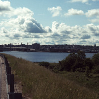
  View of Bragga Bridge and Fall River over Mt. Hope Bay. The bridge eased traffic complications between Cape Cod and Providence for only a short time. The commute from Fall River to Providence is still time consuming in rush hour traffic. The bridge…

http://www.ricdigitalcommons.com/temp/1318.jpg
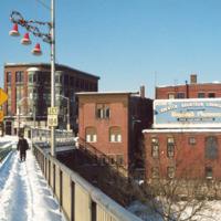
Downtown Woonsocket photographed from the Court Street Bridge which spans the Blackstone River. The largest building, just left of center, is the Main Street Lonlley building, which was built in 1890. (date of photograph has been approximated)

http://www.ricdigitalcommons.com/temp/5217.jpg
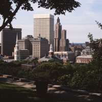
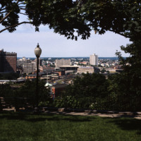
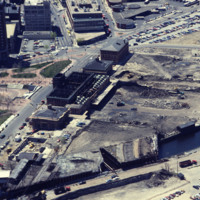
The absence of Fleet Center at 50 Kennedy Plaza is noticeable in this shot of downtown from Prospect Terrace Park and dates the image to pre-1985. (date of photograph is approximated)

http://www.ricdigitalcommons.com/temp/5207.jpg
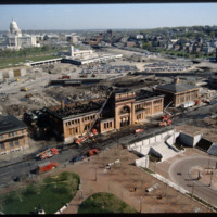
View looking west from Prospect Terrace Park. Cathedral Sq., Providence City Hall, and the Providence Biltmore appear on the left side of the photo. In the center of the photo are the yellow brick Union Station buildings and the old train tracks to…

http://www.ricdigitalcommons.com/temp/5562.jpg
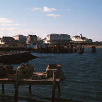
  Looking across the ferry landing on Block Island.  On the horizon is the National Hotel (1903) and to the right of the is oldest surviving hotel, the Surf (1873, 1888). This group of buildings conveys the sense of a nineteenth-century seaside…

http://www.ricdigitalcommons.com/temp/5155.jpg
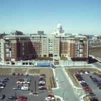
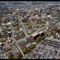
A bland review of Pruitt-Igoe subsidized housing. Photo taken from One Citizens Plaza.

http://www.ricdigitalcommons.com/Baxter_temp/CV-81-293.jpg
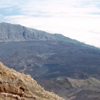
Photograph from the top of Pico do Fogo looks out into the clouds. The peak, standing at 2,829 meters, is the highest point in the Cape Verde archipelago.

http://www.ricdigitalcommons.com/Baxter_temp/CV-81-040.jpg
A view from atop Monte Verde, São Vicente's tallest point.

http://www.ricdigitalcommons.com/Baxter_temp/CV-81-035.jpg
View from Monte Verde looking to the northern coast of São Vicente. Monte Verde is the highest peak on São Vicente and was home to some of the first permanent settlements on the island.

http://www.ricdigitalcommons.com/Baxter_temp/CV-81-034.jpg
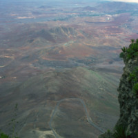
The view from Monte Verde, looking west. Most of the island is as it appears here, barren, rocky and sparsely populated.

http://www.ricdigitalcommons.com/temp/5305.jpg
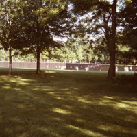
The wall seen in this photo is a memorial to those who served in the Vietnam War. The memorial is located in the Constitution Gardens near the Lincoln Memorial in Washington, D.C. The land was acquired through legislation passed by President Carter.…

http://www.ricdigitalcommons.com/temp/5430.jpg
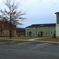
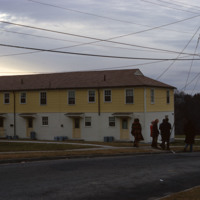
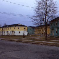
The Veterans Memorial Public Housing was built in 1953. The development is funded by the Woonsocket Housing Authority and the State of Rhode Island. The units, which are designed for elderly residents, consist of two bedrooms, one bath, a kitchen and…

http://www.ricdigitalcommons.com/temp/5394.jpg
The Veterans Memorial Public Housing was built in 1953. The development is funded by the Woonsocket Housing Authority and the State of Rhode Island. The units, which are designed for elderly residents, consist of two bedrooms, one bath, a kitchen and…

http://www.ricdigitalcommons.com/temp/5393.jpg
  The Veterans Memorial Housing Development was built in 1953. The development was designed for low-income elderly in the Woonsocket community. The development recently received renovations and continues to serve as public housing for the elderly. 

http://www.ricdigitalcommons.com/temp/0707.jpg
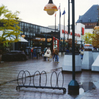
The Church Street Marketplace, formerly known as the Burlington Square Mall, is a four-block pedestrian mall in the heart of Burlington, VT. This 1983 photograph shows Woolworth’s and looks down Church St. The Woolworth’s store has been replaced by…

http://www.ricdigitalcommons.com/Baxter_temp/CV-81-307.jpg
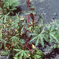
Unknown vegetation growing near Pico do Fogo. Eruptions deposit minerals in the ground that makes the soil extremely fertile.

http://www.ricdigitalcommons.com/Baxter_temp/CV-81-361.jpg
After a journey by small boat from Fajã d'Água, Davide Baxter and his good friend and guide Eduardo (Dudu) Camilo arrive in Cachaço. A winding path lined with hibiscus wrape around the stone houses in this small island vila.

http://www.ricdigitalcommons.com/Baxter_temp/CV-81-358.jpg
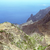
Some vegetation dots the side of this mountainous region of Brava. Most of Brava is a large tableland elevated from a steep coastline. There are also some peaks that jut out of the tableland, such as this photograph shows.

http://www.ricdigitalcommons.com/temp/5423.jpg
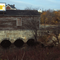
  This structure is the gate house for the Valley Falls mill complex.  It was part of a damn that redirected water into a trench that powered the mill. In the 1970s the Central Falls half of the complex was redeveloped as elderly housing, while the…

http://www.ricdigitalcommons.com/temp/5150.jpg
Blighted area in Upper South Providence near Rhode Island Hospital. In-fill housing eventually filled much of the vacant land.

http://www.ricdigitalcommons.com/Baxter_temp/CV-88-015.jpg
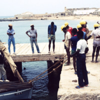
Dockworkers unload steel cable at Port of Sal Rei.

http://www.ricdigitalcommons.com/Baxter_temp/CV-88-014.jpg
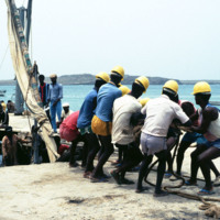
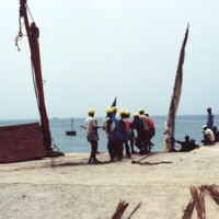
Dockworkers straining to unload steel cable wire from a small vessel at the Port of Sal Rei.

http://www.ricdigitalcommons.com/Baxter_temp/CV-88-013.jpg
The first step in unloading a cargo of steel cable wires being pulled ashore. Dockworkers have tied several thick twisted ropes to the bundle in order to help with the lifting process.

http://www.ricdigitalcommons.com/Baxter_temp/CV-88-012.jpg
Dockworkers straining to unload steel cable wire from a small vessel at the Port of Sal Rei.

http://www.ricdigitalcommons.com/Baxter_temp/CV-88-011.jpg
A group of dock workers unloads steel cables from a small vessel at the Port of Sal Rei.

http://www.ricdigitalcommons.com/Baxter_temp/CV-88-010.jpg
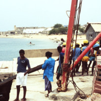
Dockworkers in hard hats unload cable wires from a small boat at the Port of Sal Rei.

http://www.ricdigitalcommons.com/temp/1255.jpg
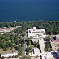
The University of Wisconsin was founded the same year as the incorporation of Wisconsin as a state in 1848. It is located on Lake Mendota and the body of water seen in this photograph is known as University Bay. The carillon tower, seen in this…

http://www.ricdigitalcommons.com/temp/0424.jpg
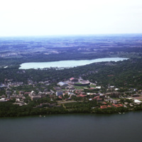
The University of Wisconsin, Madison Campus situated along Lake Mendota. The Madison Campus is the oldest and largest in the University of Wisconsin system, established in 1849. Notable architectural landmarks on the campus include the Science Hall…

http://www.ricdigitalcommons.com/temp/0556.jpg
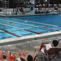
The pool at the university of Miami, Croal Gables campus. The campus is located just south of the city of Miami and was chartered in 1925. This photograph dates from the late 1970s.

http://www.ricdigitalcommons.com/temp/0557.jpg
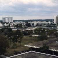
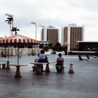
The University of Miami main campus is Coral Gables, just south of the city of Miami. This photograph was taken in 1978 and looks south across the food court, with resident halls on the horizon. The school was chartered in 1925 and currently enrolls…

http://www.ricdigitalcommons.com/temp/0558.jpg
The University of Miami Coral Gables campus, just south of Miami. This landscape view shows the University Communications building on the left and freshman housing on the right.

http://www.ricdigitalcommons.com/temp/0406.jpg
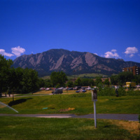
  The University of Colorado at Boulder has the Flatiron Mountains as a backdrop. This mountain range, consisting of five flatiron rock formations, is iconic for the city of Boulder and the university. Both the suburban campus and the state of…

http://www.ricdigitalcommons.com/temp/5386.jpg
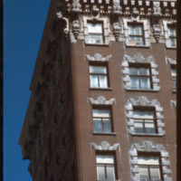
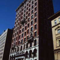
  The building looks like a skyscraper due to its slender massing. The client for this building was bank president Marsden J. Perry. Building was built by architects Stone, Carpenter & Willson. A 12-story, brick and stone sheathed, steel frame…

5125.jpg
A 12-story, brick and stone sheathed, steel frame office building. Finished with a melange Renaissance and late Georgian Revival detailing. Corinthian column entrance, bas-relief figures of an Indian and a Puritan, carved by Daniel Chester French,…

http://www.ricdigitalcommons.com/temp/5136.jpg
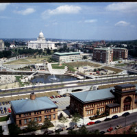
Rhode Island State House, Providence Station, Waterplace Park, Union Station as seen from the Providence Biltmore Hotel. Waterplace Park and the Riverwalk linked to it have a welcoming, well-thought-out design, which has become a focal point of the…

http://www.ricdigitalcommons.com/temp/5168.jpg
Providence's first railroad station was Union Railroad Depot, a brick edifice built in 1847 and designed by Thomas A. Tefft for the Providence and Worcester, Providence and Stonington, and Boston and Providence Railroads. This building was lost to…

http://www.ricdigitalcommons.com/temp/5134.jpg
Providence's first railroad station was Union Railroad Depot, a brick edifice built in 1847 and designed by Thomas A. Tefft for the Providence and Worcester, Providence and Stonington, and Boston and Providence Railroads. This building was lost to…

http://www.ricdigitalcommons.com/temp/5218.jpg
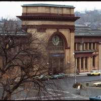
Union Station was completed in 1898 and added to the National Register of Historic Places in 1975. During renovation, on April 26, 1987, a fire broke out, eliminating most of the original interior.

http://www.ricdigitalcommons.com/Baxter_temp/CV-81-107.jpg
Road to Paùl, now much improved, was once inaccessible. Today there is a modern new road built on the edge of the cliffs offering a path to the interior of the island.

http://www.ricdigitalcommons.com/Baxter_temp/CV-89-046.jpg
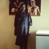
An unidentified woman poses, perhaps in a home, by a hanging print of American musician Bruce Springsteen.

http://www.ricdigitalcommons.com/Baxter_temp/CV-89-045.jpg
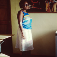
An unidentified woman is photographed in an unknown location, perhaps a home, by a print of American musician Bruce Springsteen.
Output Formats

atom, dcmes-xml, json, omeka-xml, rss2