Browse Items (1954 total)

http://www.ricdigitalcommons.com/temp/5467.jpg
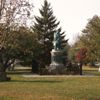
  “On March 31 1854 representatives of Japan and the United States signed a historic treaty. A United States naval officer, Commodore Matthew Calbraith Perry [April 10, 1794 – March 4, 1858], negotiated tirelessly for several months with Japanese…

http://www.ricdigitalcommons.com/temp/5458.jpg
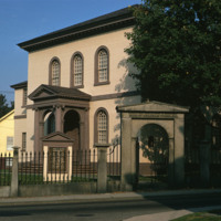
  For over two centuries, the small synagogue standing on top of a hill on a quiet street in the New England seaport community of Newport, R.I., has occupied a unique place in American history -- not only as a part of the American Jewish experience…

http://www.ricdigitalcommons.com/temp/5337.jpg
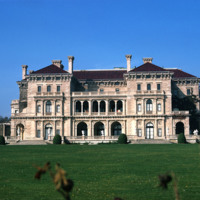
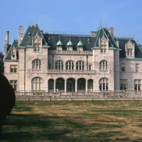
  The Breakers, an 11-acre estate on Ochre Point overlooking the ocean in Newport, Rhode Island, epitomizes the wealth and extravagance of America's Gilded Age. Designed by Richard Morris Hunt for Cornelius Vanderbilt, the grandson of Commodore C.…

http://www.ricdigitalcommons.com/temp/5463.jpg
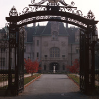
  Salve Regina University is a university in Newport, Rhode Island. Founded by the Sisters of Mercy, the university is a co-educational, private, non-profit institution chartered by the State of Rhode Island in 1934. In 1947 the university acquired…

http://www.ricdigitalcommons.com/temp/5464.jpg
  Located in Newport, RI, the school was founded by the Sisters of Mercy in 1947. Salve is a coeducational private university. The university has one of the most unique campuses around and it encompasses more than 80 acres. Along with it’s large…
http://www.ricdigitalcommons.com/temp/5454.jpg
  The Breakers is a Vanderbilt mansion located on Ochre Point Avenue in Newport, Rhode Island. It is a National Historic Landmark, a contributing property to the Bellevue Avenue Historic District, and is owned and operated by the Preservation Society…

http://www.ricdigitalcommons.com/temp/5462.jpg
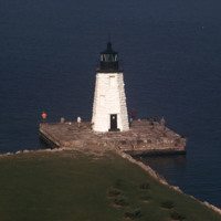
  The Newport Harbor Lighthouse may not be the best-known light in Newport Harbor, but its place in history is unchallenged as the first beacon to guide mariners into the bustling Newport of the early 1800s. The lighthouse stands on Goat Island, so…

http://www.ricdigitalcommons.com/temp/5465.jpg
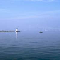
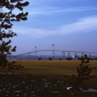
  Here is a view of the Newport Bridge from across Goat Island. The bridge is not very visible. From the north end, the lighthouse is visible. 

http://www.ricdigitalcommons.com/temp/5459.jpg
  Beginning in the late 1940s, efforts towards the construction of a bridge linking Jamestown to Newport began. From the 1940s on, at least 32 engineering studies were made for possible location of a suspension or cantilever bridge, a tunnel or…

http://www.ricdigitalcommons.com/temp/0497.jpg
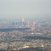
Aerial photograph showing Manhattan and Brooklyn looking West towards the city. This image shows the New York skyline as it was known from the late 1960s until the attack on the World Trade Center in 2001.

http://www.ricdigitalcommons.com/temp/5572.jpg
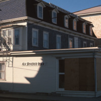
  New Shoreham is the town located on Block Island. New Shoreham was named for Shoreham, Kent, in England. The town has a total area of 109.5 square miles of which, 9.7 square miles of it is land and 99.8 square miles is water. The New Shoreham House…

http://www.ricdigitalcommons.com/temp/1128.jpg
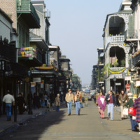
Bourbon Street is one of the most celebrated areas of Mardi Gras in New Orleans. The street is most known for its burlesque clubs and lively night life. Some of the major attractions include: The Royal Sonesta Hotel, Jean Lafitte’s Blacksmith Shop,…

http://www.ricdigitalcommons.com/temp/0805.jpg
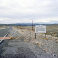
The boarder to San Felipe Indian Reservation in New Mexico is the homeland of a branch of the Native American Pueblo people. The reservation itself is approximately 79 square miles. As of the 2000 census the land is home to 3,185 people.

http://www.ricdigitalcommons.com/temp/0800.jpg
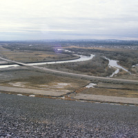
Flowing from southwestern Colorado to the Gulf of Mexico is the Rio Grande. Pictured is a dam along the the major river. With a total length of 1,896 miles, there are a large number of dams along the Rio Grande. These include: Cochiti Dam, Elephant…

http://www.ricdigitalcommons.com/temp/0808.jpg
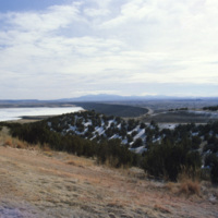
The Caballo Dam is on the Rio Grande. It stores water to be discharged during the dry season for irrigation. It was built in the 1930s and is about fifteen miles south of Truth of Consequences. This photograph, taken in 1993, shows the damn with…

http://www.ricdigitalcommons.com/Baxter_temp/CV-89-033.jpg
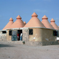
A new construction. possibly a school, designed by a German geologist/engineer, Matias Heine. He is well known as a foreigner who tried to help Cape Verde, mainly in Boa Vista an Maio. These structures are literally "concretized" in a traditional…

http://www.ricdigitalcommons.com/temp/1265.jpg
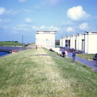
This photograph shows the sluice gates on the Afsluitdijk, a causeway that created the artificial freshwater lake IJsselmeer. The causeway was completed in 1933 and tamed what was once a problematic harbor in regards to flooding and damage to ships.…

http://www.ricdigitalcommons.com/temp/1267.jpg
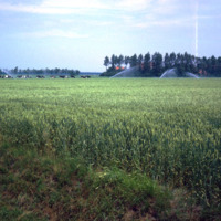
Northeast Polder, a municipality in the Netherlands, is largely made of reclaimed land from Zuiderzee Works, which turned Zuiderzee into a freshwater lake, IJsselmeer, and lowered the water levels allowing for land to be reclaimed. This photograph…

http://www.ricdigitalcommons.com/temp/1264.jpg
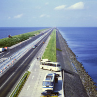
This photo shows the Afsluitdijk (Engish: Enclosure Dam), a 32 kilometer causeway in the Netherlands. The creation of the Enclosure Dam, completed in 1933, seperated Zuiderzee, a shallow bay, from the North Sea. The result was the creation of…

http://www.ricdigitalcommons.com/temp/4891.jpg
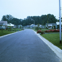
In 1954, William Levitt of Levitt & Sons, a leading residential firm, began purchasing property in Willingboro with the objective of building a residential community with few jobs and little commercial property so that the town's survival largely…

http://www.ricdigitalcommons.com/temp/4890.jpg
In 1954, William Levitt of Levitt & Sons, a leading residential firm, began purchasing property in Willingboro with the objective of building a residential community with few jobs and little commercial property so that the town's survival largely…

http://www.ricdigitalcommons.com/Baxter_temp/CV-83-034.jpg
An inland view of an unidentified neighborhood in Praia, the capital of Cape Verde. During the day the downtown area is a bustling business center, but at night merchants and workers retire to the communities scattered in the neighboring plains, such…

http://www.ricdigitalcommons.com/temp/5049.jpg
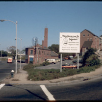
The Narragansett Electric Lighting Company had buildings on Eddy St. (pictured) and on Manchester St. They were once connected by an overhead conveyor belt, but no longer are. The Eddy St. building is no longer active as a power plant, and was…

NTB-105-23-002.pdf
“Mysteries Of Hypnotism” 1889
Clipping describing Dr. Henry S. Drayton’s lecture on “The Evolution of a ‘Sixth Sense’” and experiments involving duplicating unseen drawings. Includes this description of the dual perception of…

http://www.ricdigitalcommons.com/Baxter_temp/CV-81-365.jpg
Musicians and fellow party attendees at a 'despidida,' that is, a farewell party for someone leaving Cape Verde.

JM-IAIRI-19771002-49.jpg
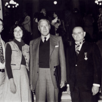
The family of Joseph R. Muratore is shown here in the rotunda of the Rhode Island State House on October 2, 1977, following the ceremony during which President Giovanni Leone of Italy presented the Italian Star of Solidarity, int he rank of…

http://www.ricdigitalcommons.com/Baxter_temp/CV-88-067.jpg
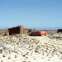
A mule used by fishermen stands on a rocky beach next to shelter.

http://www.ricdigitalcommons.com/Baxter_temp/CV-81-091.jpg
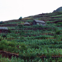
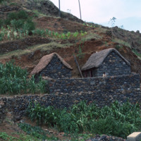
Another example of mountainside farming. The island is fertile and once produced maize and beans not only for their own use, but for export. Today, due to the 1940's famine and landowner's turning large parts of the land to sugar cane growth, the…

http://www.ricdigitalcommons.com/Baxter_temp/CV-81-120.jpg
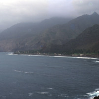
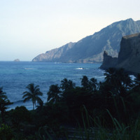
A view of a bay and seaside settlements. The mountains begin rising directly from the ocean and crest in foggy peaks. The mountains appear to have black soil because much of the land is made up of volcanic rock.

http://www.ricdigitalcommons.com/Baxter_temp/CV-81-182.jpg
Aerial view of the coastline of São Nicolau. The green tops of the mountains provide a hint to the lush land behind them. The island has some of the most fertile land in the archipelago.

http://www.ricdigitalcommons.com/Baxter_temp/CV-81-151.jpg
A view of the mountainous coastline around Paùl. Craggy mountains descend into the sea and cliffs are visible. The picture shows how striking and rugged the coastline can be. Slide CV-81-159 shows the same section of coastline at less of a…

http://www.ricdigitalcommons.com/Baxter_temp/CV-81-094.jpg
Journey to Ribeira Grande, one of the most spectacular road trips a visitor to Cape Verde can experience. Photographed on this journey, this mountain top farm and rural setting on Santa Antão is perhaps typical of the impoverished life style in…

http://www.ricdigitalcommons.com/Baxter_temp/CV-81-089.jpg
Journey to Ribeira Grande, one of the most spectacular road trips a visitor to Cape Verde can experience. Example of a rural mountain side farm photographed during David Baxter's journey to the Ribeira Grande from Porto Novo.

http://www.ricdigitalcommons.com/Baxter_temp/CV-81-354.jpg
A coastal road cut into the mountainous terrain of Brava.

http://www.ricdigitalcommons.com/Baxter_temp/CV-81-123.jpg
The peaks lining the Ribiera do Paùl. It shows a group of homes built into the side of the mountains. This area is often compared to the landscape of Hawaii. It is very green and the land is composed of a good deal of volcanic residue.

http://www.ricdigitalcommons.com/Baxter_temp/CV-81-092.jpg
Example terraced farming in the fertile soil of Santo Antão northern region near Ribeira Grande. This farm appears to be producing sugar cane, which is used in the proves of making grogue, an alcoholic beverage native to Cape Verde.

http://www.ricdigitalcommons.com/Baxter_temp/CV-81-090.jpg
Journey to Ribeira Grande, one of the most spectacular road trips a visitor to Cape Verde can experience. In this image you can see how the mountains are stepped for farming. The island has two main peaks reaching 6,493 feet and 5,197 feet.

http://www.ricdigitalcommons.com/temp/5381.jpg
Multifamily housing on Providence’s East Side in the Mount Hope neighborhood. 

http://www.ricdigitalcommons.com/Baxter_temp/CV-89-085.jpg
A mother and her newborn benefit from bedding donated from St. Luke's Hospital in New Bedford, MA.

http://www.ricdigitalcommons.com/Baxter_temp/CV-89-044.jpg
This photo is believed to be of a mother and three of her children in Vila do Maio. The woman in this photo, unidentified, is also seen in a photo with David Baxter (see: David Baxter and Unidentified Woman, CV-89-043).

http://www.ricdigitalcommons.com/Baxter_temp/CV-81-258.jpg
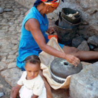
An unidentified mother and child in Tarrafal, São Nicolau. She appears to be milling corn to make corn meal or flour. Note the cobblestone street, a trademark of the Cape Verde islands.

http://www.ricdigitalcommons.com/temp/5283.jpg
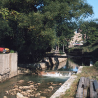
A back view of the Moshassuck Square Apartments and the Moshassuck River.  The Moshassuck Square Apartments, designed by architect William D. Warner and constructed in 1972,  were a key element in the revitalization of Randall Square. The apartments…

http://www.ricdigitalcommons.com/temp/5284.jpg
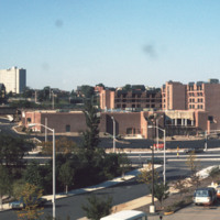
The Moshassuck Square Apartments, designed by architect William D. Warner and constructed in 1972, were a key element in the revitalization of Randall Square. The apartments are built in rows of three and four story cast-stone-trimmed brick…

http://www.ricdigitalcommons.com/temp/5282.jpg
  Milton Fine and Interstate Hotels Corporation developed, owned and operated the full service Providence Marriott Downtown hotel located on Orms Street. The hotel opened in 1975 with 250 rooms and was renovated in 1980 to become a 350 room hotel.

http://www.ricdigitalcommons.com/temp/5051.jpg
The interior of the Moshassuck Arcade. The building was part of the Bay State Mill, which was part of a complex including the American Screw Company. Many of the surrounding buildings in the complex were destroyed by fire in 1971. The Moshassuck…

http://www.ricdigitalcommons.com/temp/5510.jpg
The intersection of North Main and Hewes Street was the location of the Moshassuck Arcade. The building was part of the Bay State Mill, which was part of a complex including the American Screw Company. Many of the surrounding buildings in the complex…

http://www.ricdigitalcommons.com/temp/1243.jpg
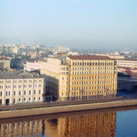
The large building at the right was, at the time of this photograph, the Hotel Bucharest. The original structure, dating to 1898, was designed by local architect Alexander Ivanov. During the 20th century the building changed ownership numerous times…

http://www.ricdigitalcommons.com/temp/1222.jpg
The State Historical Museum is located at the end of Red Square in Moscow. It was designed by Sherwood and Semyonov (Berton, 177) at the end of the nineteenth century. It’s facade employs a psuedo-Russian style which arbitrarily incorporates designs…

http://www.ricdigitalcommons.com/temp/1220.jpg
The high rise building pictured is the Kotel’nicheskaia Embankment Building (alternate spelling Kotenicheskaya), a high rise apartment building in Moscow. It was built as part of the vysotki (tall building) project which added seven high rise…

1217.jpg
Saint Basils cathedral was commissioned in 1555 by Ivan the Terrible to commemorate the capture of Kazan form the Tartars in 1552. The cathedral’s official name is the Cathedral of the Intercession of the Virgin, which also represents the date that…
Output Formats

atom, dcmes-xml, json, omeka-xml, rss2