Browse Items (1954 total)

http://www.ricdigitalcommons.com/temp/4889.jpg
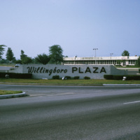
The Willingboro Plaza in Levittown, New Jersey was a 614,000-square-foot regional shopping center that was built as a centerpiece of the city. After 7 years of construction, Willingboro Plaza was completed in 1967 with featured stores like Sears and…

http://www.ricdigitalcommons.com/Baxter_temp/CV-89-010.jpg
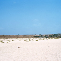
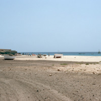
A view of Vila do Maio across the white sands of a nearby beach. This view shows how flat and dry the island is. It has been called the "forgotten island," and it's principle resource is salt, which was heavy mined and exported from the 16th to the…

http://www.ricdigitalcommons.com/temp/0493.jpg
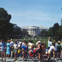
Tourists visiting the White House in Washington D.C., photographed by Chet Smolski. Until the early twentieth century, The White House was open to the public, but has since been restricted due to security concerns. However, free and public tours of…

http://www.ricdigitalcommons.com/temp/0475.jpg
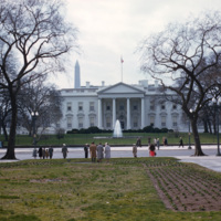
The White House has served as the home for the American Presidents and their families for more than 200 years. The first cornerstone was laid in 1792, and the building was completed around 1800. George Washington commissioned the construction of the…

http://www.ricdigitalcommons.com/Baxter_temp/CV-89-067.jpg
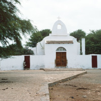
A large white church in a village, believed to be Calheta, a coastal village on Maio. An unidentified woman standing to the left provides a sense of scale.
JM-LFH-19791213-P04.jpg
Tony Marocco stands at on the spot where he was born at the corner of Cedar and Crout Sts. 80 years ago. He was one of six children and in 1977, when he was 77 years old, he was discouraged over the future of Federal Hill and believed urban renewal…

http://www.ricdigitalcommons.com/temp/4802.jpg
Weybosset St. in Providence featuring Loew's Theater and the Beneficent Congregational Church. Loew's was threatened with demolition in 1977 and it was saved by a consortium of local businesses, foundations and government agencies. In 1978, the…

http://www.ricdigitalcommons.com/temp/5173.jpg
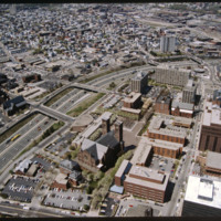
The Weybosset Hill area is bounded by Empire St. on the east, Broad and Washington Streets on the south and north, and Interstate 95 on the west. Redevelopment of this area stemmed from a 1959 recommendation of the City Plan Commission's master plan…

http://www.ricdigitalcommons.com/temp/4903.jpg
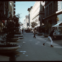
In the early 1960s this section of Westminster street was closed to vehicular traffic and became a pedestrian mall. Pictured here in 1970, a game of Frisbee takes place while shoppers traverse closer to the buildings. In 1986 the street was opened…

http://www.ricdigitalcommons.com/temp/4849.jpg
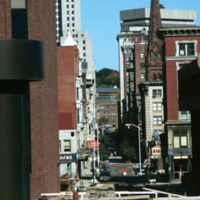
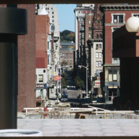
A compressed view of Westminster Street in 1974 taken from I. M. Pei's Cathedral Square. In 1964 Westminster Street was closed to vehicular traffic between Dorrance Street and Snow Street. The move was an attempt to compete with suburban malls.…

http://www.ricdigitalcommons.com/temp/5196.jpg
According to Woodward, Cathedral Square is the “most problematic of Providence’s open spaces.” Despite being designed by world class architects and urban planners, namely I.M. Pei and Zion & Breen, the space has been universally decried as an…

http://www.ricdigitalcommons.com/temp/5543.jpg
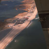
  An aerial view of Misquamicut Beach in Westerly. Atlantic Avenue runs parallel to the shore line, which is lined with attractions. Hurricanes in 1938 and in the 1950’s permanently altered the landscape and destroyed much of the establishments.…

http://www.ricdigitalcommons.com/Baxter_temp/CV-81-117.jpg
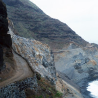
This coastal road to Paùl heading west is cut into the mountains. The mountains descend steeply into the ocean. The single-track road is paved with dirt.

http://www.ricdigitalcommons.com/temp/0617.jpg
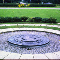
This memorial to Sir Ebeneezer Howard sits within Welwyn Garden City, founded in 1920. Howard’s 1898 publication, Garden Cities of To-morrow, lead to the development of garden cities in which people live harmoniously with nature. Welwyn Garden City…

JM-IAIRI-196705XX-11.jpg
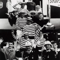
A strong wind blew in two Roman policemen, seven Venetian gondolieri, 20 flagthrowers, all for the Rhode Island Italian Festival which was held in may of 1967. They made innumerous appearances and gave various presentations at this festival.

http://www.ricdigitalcommons.com/temp/5160.jpg
The Providence Biltmore Hotel is an upscale hotel that opened in 1922 as part of the Biltmore Hotel chain. It was founded by John McEntee Bowman and Louis Wallick, and is currently owned by Grand Heritage Hotels International. It was added to the…

http://www.ricdigitalcommons.com/Baxter_temp/CV-88-127.jpg
The scene here is a very distant view of the weekend house of "Doutor Adriano," a well known teacher (?) at the high school in Mindelo. At the time of this slide, this house was owned by David Baxter. It is now owned by Lee and Maria Detwiler.

http://www.ricdigitalcommons.com/Baxter_temp/CV-89-018.jpg
This photograph of the shoreline at Vila do Maio shows a variety of waterfront activity. In the foreground small fishing vessels are stored on the beach while larger ships can be seen just off the shore of the island. To the far right some people…

http://www.ricdigitalcommons.com/temp/0788.jpg
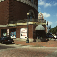
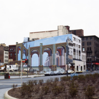
Shown on the side of this building is the optical illusion trompe l’oeil. Translated, the term stands for “deceive the eye”. This technique is achieved by using realistic imagery in order to give the optical illusion that the image is in 3D. (date…

http://www.ricdigitalcommons.com/temp/5500.jpg
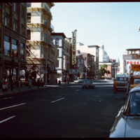
Washington Street and the corner of Mathewson Street, photographed in 1978. The Shepard Building, pictured at the left, was home to the Shepard Department store. At its height the company occupied surrounding buildings, expanding to cover two-blocks.…

http://www.ricdigitalcommons.com/temp/5264.jpg
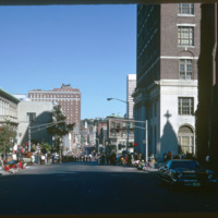
  Washington Street on Columbus Day, 1974. On the left is the Providence Public Library.

http://www.ricdigitalcommons.com/temp/0485.jpg
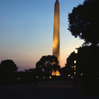
The Washington Monument, the most prominent fixture in the D.C. skyline, was completed in 1884 in honor of the first American president, George Washington. The monument stands over 555 ft tall and offers views over thirty miles. A design competition…

http://www.ricdigitalcommons.com/temp/0476.jpg
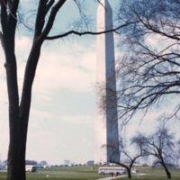
The Washington Monument, the most prominent fixture in the D.C. skyline, was completed in 1884 in honor of the first American president, George Washington. The monument stands over 555 ft tall and offers views over thirty miles. A design competition…

http://www.ricdigitalcommons.com/temp/0470.jpg
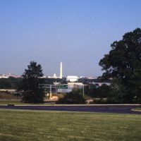
A distant view of the Washington D.C. cityscape. The Washington Monument, the most prominent fixture in the D.C. skyline, was completed in 1886.

http://www.ricdigitalcommons.com/temp/0464.jpg
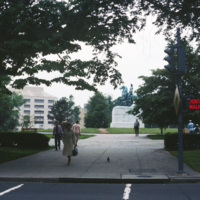
The George Washington Equestrian Statue stands at the center of Washington Circle. The bronze statue depicts George Washington on horseback fighting the 1776 Battle of Princeton. Clark Mills sculpted the Washington Circle statue, as well as another…

http://www.ricdigitalcommons.com/temp/0478.jpg
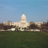
A view of the expansive United States Capitol building in Washington, D.C. The Capitol building covers approximately four acres of land and is host to 3-5 million visitors every year. First built in 1793, the home of the Senate and House of…

http://www.ricdigitalcommons.com/temp/1284.jpg
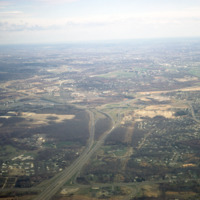
Although now considered a dead mall, the construction of the Midland Mall (renamed the Rhode island Mall in 1985), completed in 1968, was a milestone in the states economic history as it initiated the shift of retail trade from Providence into the…

http://www.ricdigitalcommons.com/temp/0814.jpg
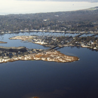
This aerial photograph was taken over Warren and looks west across Barrington and to Narragansett Bay. This photograph shows the distinctive shoreline of Belcher Cover and Tyler Point. Barrington had been a part of Warren from the 1747 until 1770.…

http://www.ricdigitalcommons.com/Baxter_temp/CV-81-013.jpg
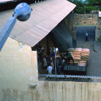
Scene at a warehouse in Porto Grande. Goods are loaded onto a truck, either to be moved to a ship or delivered locally.

http://www.ricdigitalcommons.com/Baxter_temp/CV-81-012.jpg
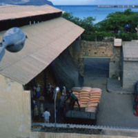
Scene at a Porto Grande warehouse. Goods are taken from storage and loaded onto a truck to be either shipped out or delivered locally.

http://www.ricdigitalcommons.com/temp/1100.jpg
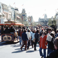
November 18, 1978 marked Mickey Mouse’s 50th Birthday. Several times that year, Walt Disney World celebrated with a special parade in his honor that spanned the entire magic kingdom Main Street. The characters were staged on oversized floats…

http://www.ricdigitalcommons.com/temp/1099.jpg
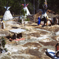
Frontierland is one of the themed lands in Walt Disney World’s Magic Kingdom. It is based on the 19th century American West. This photograph shows an Indian Village and train tracks of the Walt Disney World Railroad passing in the background.

http://www.ricdigitalcommons.com/temp/1097.jpg
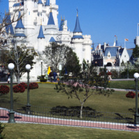
Opening in 1971, Walt Disney World in Florida was the second park envisioned by American animator Walt Disney. This photograph show’s Cinderella’s Castle, an icon of Disney’s Magic Kingdom, and a major tourist attraction.

http://www.ricdigitalcommons.com/temp/1098.jpg
The Magic Kingdom at Walt Disney World in Florida is the first park to be opened at the Florida Amusement Park. The design was based on Disneyland, a California amusement park opened in 1955, except on a grander scale. The Magic Kingdom is one of…

http://www.ricdigitalcommons.com/Baxter_temp/CV-81-119.jpg
A rocky inlet pictured from above. It is taken at a distance from the road to Paùl and a lone fisherman is seen. It dramatizes the steep and dramatic drop just at the edge of the road. Volcanic rock juts out into the water from the coast.

http://www.ricdigitalcommons.com/Baxter_temp/CV-88-058.jpg
View of Praia Curralinho in 1988.

http://www.ricdigitalcommons.com/Baxter_temp/CV-88-057.jpg
View of Praia Curralinho in 1988.

http://www.ricdigitalcommons.com/temp/0569.jpg
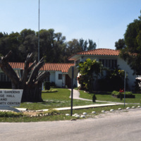
Virginia Gardens is a Village in Dade County that broke away from neighboring town Miami Springs in 1947 after a disagreement over a ban on horses. This 1978 photograph shows the town hall and community center of Virginia Gardens. The village takes…
http://www.ricdigitalcommons.com/Baxter_temp/CV-89-059.jpg
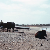
Villagers and livestock attend to duties near the shore. This photo is believed to be taken at or near the village Calheta.
http://www.ricdigitalcommons.com/Baxter_temp/CV-89-021.jpg
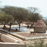
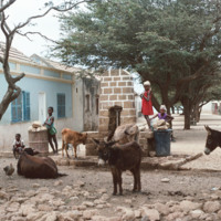
A village square in Vila do Maio. This view looks across the opposite direction of the slide, "Getting Water in Vila do Maio." The water source is in the foreground at the left of the frame.
http://www.ricdigitalcommons.com/Baxter_temp/CV-89-056.jpg
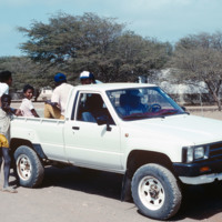
Villagers in a pickup truck. The exact location of this photograph is unknown but is believed to be taken in the village Calheta.
http://www.ricdigitalcommons.com/Baxter_temp/CV-81-112.jpg
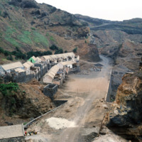
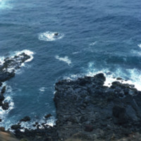
Small village on the road to Paùl where the terrain is recommended to be traversed by a 4 wheel drive vehicle. Possibly a farm to the left, here you can see a great example of the sheer cliffs that make up the landscape of this area. The road…
http://www.ricdigitalcommons.com/Baxter_temp/CV-81-143.jpg
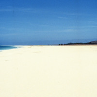
Another example of terraced landscapes. The terracing is a means of soil conservation since the island has relatively low rainfall. Clothes are spread out on rocks to dry.

http://www.ricdigitalcommons.com/Baxter_temp/CV-85-060.jpg
The village of João Galego lies in the desert, mountainous region on the island of Boa Vista. Even though there is little annual precipitation, the village manages a handful of farmlands that provide it with some food products. However, since the…
http://www.ricdigitalcommons.com/Baxter_temp/CV-89-066.jpg
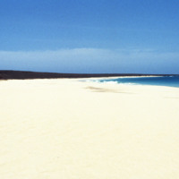
Children and livestock mingle near this watersource in a village, believed to be Calheta. This shady street is lined with stone and concrete houses and cobblestone roads that are distinct to many Cape Verdean villages.

http://www.ricdigitalcommons.com/Baxter_temp/CV-80-214.jpg
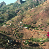
A picturesque landscape photograph of São Nicolau's hinterland. The village may be Fajã de Cima, a small settlement in the northwest interior of the island.

http://www.ricdigitalcommons.com/Baxter_temp/CV-81-148.jpg
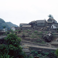
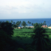
A cluster of houses set against the coast of Santo Antão. The rugged coastline of Paùl is quite striking with its mountains descending to the sea. Palm trees are also visible around the village.

http://www.ricdigitalcommons.com/Baxter_temp/CV-88-113.jpg
A boy stands across the road from a well-preserved and intriguing building among debris, adjacent to a village in Boa Vista.

http://www.ricdigitalcommons.com/Baxter_temp/CV-88-112.jpg
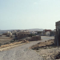
A well-preserved and intriguing building among debris, adjacent to a village in Boa Vista.
Output Formats

atom, dcmes-xml, json, omeka-xml, rss2