Browse Items (1954 total)

http://www.ricdigitalcommons.com/temp/5191.jpg
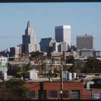
Providence, Rhode Island is the site of 27 high-rises, 16 of which stand taller than 175 feet (53 m). The tallest skyscraper in the city is the Industrial Trust Building (1928), which rises 428 feet (130 m). Due to the what is dubbed the Providence…
5298.jpg
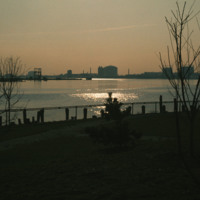
India Point Park was opened in 1974 after declines in shipping led to the area being redeveloped as a recreational space.  This image, looking south from the park, was likely taken within a couple of years of the park’s opening. The image shows the…

http://www.ricdigitalcommons.com/temp/5384.jpg
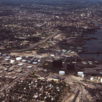
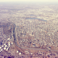
  Aerial view showing Providence Port circa 1976.  Allens Ave. runs diagnolly across the picture plane, and Interstate 95 enters the frame on the right, curves around the city and continues north to the horizon. To the east (frame right) the Fox…

http://www.ricdigitalcommons.com/temp/5189.jpg
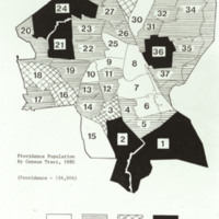
Providence population (156,804) by Census Tract, 1980 Key (in thousands): white - less than 2.5 horizontal lines - 2.5-5.4 hatched - 5.5-7.0 black - more than 7.0

4978.jpg
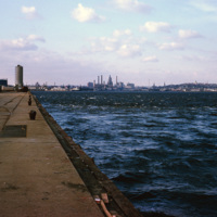
A view of downtown Providence from the city pier, across the Providence River.

http://www.ricdigitalcommons.com/temp/5186.jpg
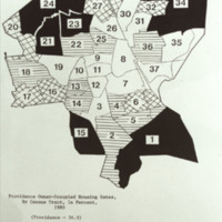
Providence owner-occupied housing rates by Census Tract (36.9% owner-occupied),1980. Key: white is less than 25.0%; horizontal lined is 25.0-36.9%; hatched is 37.0-50.0%; and black is more than 50.0%

http://www.ricdigitalcommons.com/temp/5115.jpg
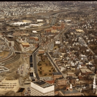
Aerial view of Interstate 95, new train tracks, the Charles Street area in the city’s North End (including the U.S. Post Office by Maguire and Associates, 1960), and the East Side.

http://www.ricdigitalcommons.com/temp/4794.jpg
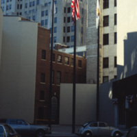
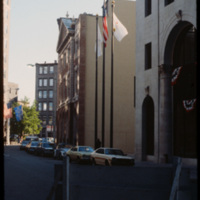
The Providence National Bank building with the Industrial Trust building towering up from behind. The Providence National Bank, completed in 1930, was demolished in 2005 to make room for a luxury condo. Plans for that building were ultimately…

http://www.ricdigitalcommons.com/temp/4793.jpg
The Providence National Bank in 1979. Construction of the bank was completed in 1930. Much of the building was demolished in 2005 to make room for a luxury condo dubbed, 'One Ten Westminster.' The project ultimately was scrapped and now only the…

http://www.ricdigitalcommons.com/temp/5050.jpg
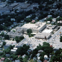
Aerial image of The Miriam Hospital in Providence. The first Miriam Hospital opened in 1926 with 63 beds and 14 bassinets but was relocated for more space to its location on Summit Avenue in 1952. The hospital was started by a group of Jewish woman…

http://www.ricdigitalcommons.com/temp/5205.jpg
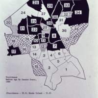
Providence Median age by Census tract in 1980

http://www.ricdigitalcommons.com/temp/5266.jpg
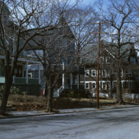
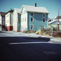
  The large houses seen in the photo were once single family homes. At the time of the photo, homeowners had begun converting homes of this size into rental properties by parceling out rooms within the homes. The changes came at a slow rate. 

http://www.ricdigitalcommons.com/temp/5373.jpg
During the late nineteenth century, the rapid industrialization of Providence spawned a number of inner-city neighborhoods close to the center of commerce. As immigrant populations began to settle in Providence, those who had been living in the city…

http://www.ricdigitalcommons.com/temp/5247.jpg
  Seen in this aerial is a view of Brown University. Brown is an Ivy League School in Rhode Island located in the center of Providence. It was founded in 1764 and is the third oldest institution in New England and the seventh oldest in the United…

5517.jpg
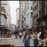
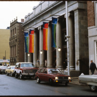
The Westminster Street shopping area was closed to vehicle traffic in the early 1960s in an effort to bring shoppers back to downtown Providence. The buildings in the area varied in architectural style. Some buildings have been removed, yet…

JM-IAIRI-199XXXXX-93.jpg
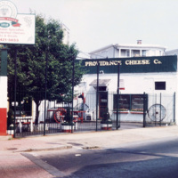
The Providence Cheese Company [at the time] at 178 Atwells Avenue on the corner of Dean Street in Providence. This business [was] conducted by Wayne Whetly, the grandson of Cavalier N. Francis Basso, the founder.

JM-IAIRI-197XXXXX-8.jpg
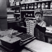
The making of ravioli at the Providence Cheese & Delicatessen store. The Art of making ravioli is transplanted from Italy to Federal Hill. Fortunately the art of making ravioli is being passed on in order that our new generation of Italo-Americans…

http://www.ricdigitalcommons.com/temp/5194.jpg
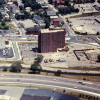
A view of Charlesgate Apartments built and Nursing Center under construction. Image looks east with U.S. 95N in the foreground. Charlesgate has 140 beds and is currently 94% occupied.

http://www.ricdigitalcommons.com/temp/5135.jpg
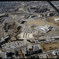
This image shows the transformation of Capital Center in progress. Francis Street construction is complete up until the over-passed train tracks and the bridge over the Woonasquatucket River. The former train tracks have been removed, but the land…

http://www.ricdigitalcommons.com/temp/5188.jpg
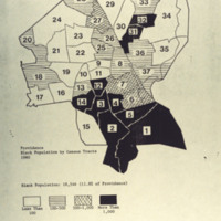
Providence Black Population by Census tracts 1980 Black Population: 18,546 (11.8% of Providence) Key: white - less than 100 horizontal lines - 100-500 hatched - 500 - 1,000 black - more than 1,000

http://www.ricdigitalcommons.com/temp/5223.jpg
The Westminster Street end of the Providence Arcade (1828) by Russell Warren and James Bucklin and built for Cyrus Butler. Also known as “Butler’s Folly.” Derived ultimately from the Burlington Arcade of 1818 in London, which influenced two new world…

5192.jpg
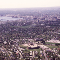
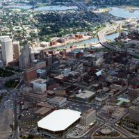
Aerial view of Providence downtown area. Among America’s oldest cities, Providence has a special sense of place. Like its contemporaries, it has been built and rebuilt many times. Development, however, has not resulted in wholesale destruction and…

5296.jpg
  This aerial photograph of South Providence includes Rhode Island Hospital and the Port of Providence in the late 1990’s. Allens Avenue and Interstate 95 run parallel across the bottom of the frame. Visible at the lower right corner is the old…

5295.jpg
      This aerial view looks south west across South Providence and into Cranston.  Seen prominantly in the lower left is the Rhode Island Hospital complex, with the Hasbro Children’s Hospital which was only recently completed at the time of the…

5294.jpg
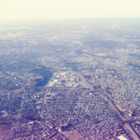
This south looking aerial view, photographed in the late 1990’s, shows South Providence neighborhood of Providence and a bit of Cranston. The two water bodies seen center frame are Mashapaug Pond and Spectacle Pond (left to right).  To the east is…

5293.jpg
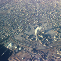
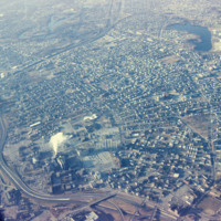
An aerial view of South Providence.  This image looks west, with Allens Ave. running parallel to the bottom of the picture plane and Interstate 95 prominently curving through the center of the image.  

http://www.ricdigitalcommons.com/Baxter_temp/CV-81-343.jpg
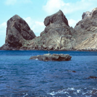
The steep mountains that protect Fajã d'Água from the strong northwestern winds that sweep across Brava.

http://www.ricdigitalcommons.com/temp/5331.jpg
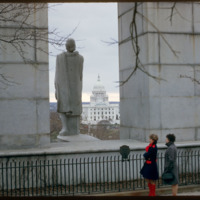
The view from Prospect Terrace looking west to the State House. This statue of Roger Williams was erected in the 1930s. Designed by Ralph Walker, the original memorial included steps leading up from Wheaton Street (below) but these plans were scaled…

http://www.ricdigitalcommons.com/temp/1295.jpg
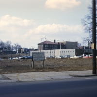
This photograph shows a vacant lot scheduled to be developed as part of Allentown’s Fourth Street Urban Renewal Project. The project aimed to create affordable housing for Allentown residents.

http://www.ricdigitalcommons.com/temp/1191.jpg
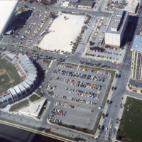
Below is a photo of the Progress Energy Park baseball stadium and the Bayfront Tower Condominium complex. The stadium was rebuilt in 1976, so at the time this photo was taken (March 1978), the reconstruction was only about two years old. The park…

JM-LFH-19791220-P01.jpg
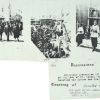
Religious procession (St. Anthony) of Our Lady of Mt. Caramel Church 1938. Location was Spruce and Brayton Ave.

http://www.ricdigitalcommons.com/temp/5399.jpg
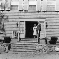
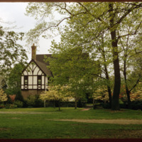
  This English Tudor Revival was built in 1896 for Prescott and Mary Clarke. The sprawling home, designed by Clarke and Spaulding, is considered one of the most exceptional architectural designs on Blackstone Boulevard.  The Proprietors of the Swan…

http://www.ricdigitalcommons.com/Baxter_temp/CV-83-039.jpg
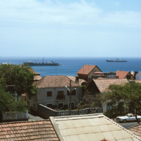
This slide, similar to CV-83-033, Docked Ships Along the Coast of Praia, was taken above street level so that the roofs of the city are exposed. Important to this city is the port, which exports goods such as coffee, tropical fruits and sugar cane.

http://www.ricdigitalcommons.com/Baxter_temp/CV-83-036.jpg
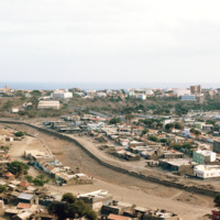
A panoramic view of Praia, similar to slide CV-83-035, Praia, Capital of Cape Verde. On the left of the frame the Domingos Ramos Secondary School, with it's distinctive, pyramid-like tower rising above the city, can be seen.

http://www.ricdigitalcommons.com/Baxter_temp/CV-83-035.jpg
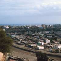
Praia, the capital and largest city in Cape Verde, as photographed in 1983. The Domingos Ramos Secondary School is visible in the distance on the left side of the image. The Maria Pia lighthouse can be seen in the distance near the center of the…

http://www.ricdigitalcommons.com/Baxter_temp/CV-85-065.jpg
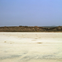
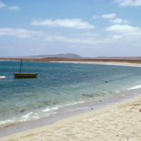
Another view of Praia Santa Monica with rocky mountains visible in the distance.

This beach, also known as Praia Curralinho is one of ten beaches on the island of Boa Vista. The beach itself is seldom used by people due to underpopulation and the…

http://www.ricdigitalcommons.com/Baxter_temp/CV-85-064.jpg
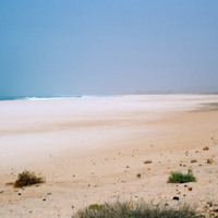
This photo is taken farther back towards the land portion of Praia Santa Monica.

This beach, also known as Praia Curralinho is one of ten beaches on the island of Boa Vista. The beach itself is seldom used by people due to underpopulation and the…

http://www.ricdigitalcommons.com/Baxter_temp/CV-85-063.jpg
Three visitors of Praia Santa Monica stand near the shoreline looking out to sea.

Praia Santa Monica, also known as Praia Curralinho is one of ten beaches on the island of Boa Vista. The beach itself is seldom used by people due to underpopulation…

http://www.ricdigitalcommons.com/Baxter_temp/CV-85-062.jpg
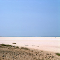
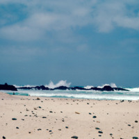
Praia Santa Monica, also known as Praia Curralinho is one of ten beaches on the island of Boa Vista. The beach itself is seldom used by people due to underpopulation and the desert area. Instead, the beach is a protected area for turtles laying their…

http://www.ricdigitalcommons.com/Baxter_temp/CV-85-061.jpg
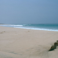
Praia Santa Monica, also known as Praia Curralinho is one of ten beaches on the island of Boa Vista. The beach itself is seldom used by people due to underpopulation and the desert area. Instead, the beach is a protected area for turtles laying their…

http://www.ricdigitalcommons.com/Baxter_temp/CV-85-029.jpg
The striking waters of Praia de Cabral ("Cabral Beach") are clearly visible here. Cabral Beach is one of Boa Vista's most popular beaches and tourist attractions. The beach is home to a hotel as well as a small Jewish cemetery. Additionally, Praia de…

http://www.ricdigitalcommons.com/Baxter_temp/CV-85-033.jpg
A small cove at Praia de Cabral, a beach located about two miles from Sal Rei, Boa Vista. The island of Boa Vista has 55 km of beaches and a flat island of dunes and oases, sparsely populated and with few natural resources.

http://www.ricdigitalcommons.com/Baxter_temp/CV-85-032.jpg
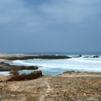
This photo shows the rocky, yet stunning shoreline of Praia de Cabral. Waves crash up against a natural rock wall in the distance. Cabral Beach has become one of Boa Vista's most popular beaches and tourist attractions. The beach is home to a hotel…

http://www.ricdigitalcommons.com/Baxter_temp/CV-85-043.jpg
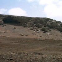
A desolate area inland from Praia de Cabral. Nearby are the ruins of a small chapel.

http://www.ricdigitalcommons.com/Baxter_temp/CV-85-025.jpg
Praia de Cabral is a beautiful beach located just a short walking distance from the city of Sal Rei. The beach attracts many tourists each year and is continuously growing in popularity. In 2011, the city approved a new resort to be built on the…

http://www.ricdigitalcommons.com/Baxter_temp/CV-88-125.jpg
Praca d'Estrela, the earliest square in Mindelo, S. Vicente

http://www.ricdigitalcommons.com/Baxter_temp/CV-88-124.jpg
Praca d'Estrela, the earliest square in Mindelo, S. Vicente

http://www.ricdigitalcommons.com/Baxter_temp/CV-88-123.jpg
Praca d'Estrela, the earliest square in Mindelo, S. Vicente

http://www.ricdigitalcommons.com/Baxter_temp/CV-83-021.jpg
Pozolan is a naturally occurring fly ash which is an additive to cement. It reportedly enhances cement's ability to withstand the corrosive effect of sea water, and is therefore used extensively in the construction of marine docks.
Output Formats

atom, dcmes-xml, json, omeka-xml, rss2