Dublin Core
Title
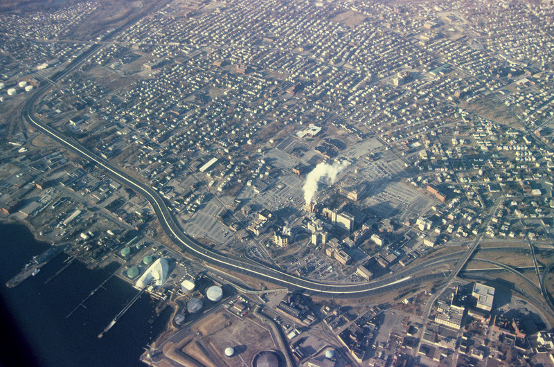
Providence
Description
This aerial photograph of South Providence includes Rhode Island Hospital and the Port of Providence in the late 1990’s. Allens Avenue and Interstate 95 run parallel across the bottom of the frame. Visible at the lower right corner is the old interchange between Instate 95 and 195.
Creator
Chester Smolski
Date
1999-04-01
Rights
Rhode Island College
Format
Photograph
Photograph
Identifier
5296
Smolski Image Item Type Metadata
City
Providence
Country
United States of America
Library of Congress Subject Headings
Urban development-- Rhode Island-- Providence; Aerial photography in city planning-- Rhode Island-- Providence; City planning-- Rhode Island-- Providence; Land use, Urban-- Rhode Island-- Providence
Region
Rhode Island
