Dublin Core
Title
Providence
Description
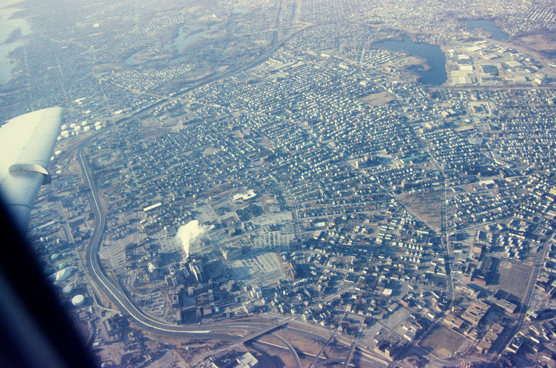
This aerial view looks south west across South Providence and into Cranston. Seen prominantly in the lower left is the Rhode Island Hospital complex, with the Hasbro Children’s Hospital which was only recently completed at the time of the photograph. At the center bottom is the interchange of Interstate 195 and 95, which was relocated in the mid 2000’s. Roger Williams Park, with it’s cluster of lakes is visible at the top center of the frame, with Mashapaug and Spectacle Ponds just west at the top right.
Creator
Chester Smolski
Date
1999-04-01
Rights
Rhode Island College
Format
Photograph
Photograph
Identifier
5295
Smolski Image Item Type Metadata
City
Providence
Country
United States of America
Library of Congress Subject Headings
Urban development-- Rhode Island-- Providence; Aerial photography in city planning-- Rhode Island-- Providence; City planning-- Rhode Island-- Providence; Land use, Urban-- Rhode Island-- Providence
Region
Rhode Island
