Browse Items (1954 total)

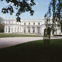
http://www.ricdigitalcommons.com/temp/5483.jpg
  Rosecliff, built 1898-1902, is one of the Gilded Age mansions of Newport, Rhode Island, now open to the public as a museum. The house has also been known as the Herman Oelrichs House or the J. Edgar Monroe House. It was built by Theresa Fair…

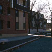
http://www.ricdigitalcommons.com/temp/5413.jpg
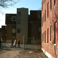
  Renovated units in the Roger Williams Homes housing project in South Providence. Many of these units were destroyed in the 1980s after decades of neglect, however these renovated units were spared and later became the Sharlotte Woods Elementary…

http://www.ricdigitalcommons.com/temp/5380.jpg
  Roger Williams Public Housing Development photographed in 1971.  This development was demolished in the 1980s and the was replaced in 2007 by the Williams Woods urbanist development. 

Tags: ,

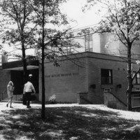
http://www.ricdigitalcommons.com/temp/5224.jpg
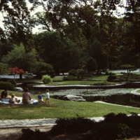
Built in 1935-1936 by the Works Progress Administration in the 430 acre park designed by Horace Cleveland in 1878.  The park itself is laid out in the romantic landscape tradition of Frederick Law Olmsted (1822-1903) and complements the asymmetry of…

http://www.ricdigitalcommons.com/temp/5177.jpg
In 1871, Betsey Williams, great-great-grandaughter of Providence founder Roger Williams, gave the city the 102 acre tract of land with the provision that the land be used for a park or cemetery and that a memorial to Roger WIlliams be included. It…

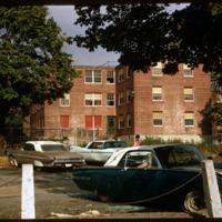
http://www.ricdigitalcommons.com/temp/5412.jpg
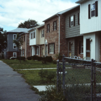
  Renovated units and old units at the Roger Williams Homes housing project in South Providence photographed around 1974. Most of the units were demolished in the 1980s after decades of neglect.  These renovated units were spared and later…

JM-IAIRI-191XXXXX-53.jpg
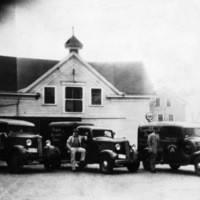
Roger Williams Dairy was owned and developed by the Peter Baffoni family. It was one of the first home-delivery milk companies in Rhode Island.

http://www.ricdigitalcommons.com/Baxter_temp/CV-85-039.jpg
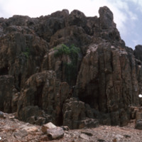
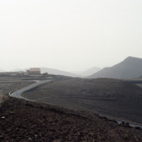
A desolate area "behind" Praia Cabral, a beach about two miles from Sal Rei.

http://www.ricdigitalcommons.com/Baxter_temp/CV-85-041.jpg
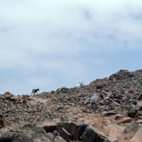
Goats roam a rocky, desolate area just inland from Praia de Cabral, a white sand beach about two miles from Sal Rei.

http://www.ricdigitalcommons.com/Baxter_temp/CV-81-152.jpg
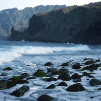
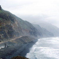
The coastline of Santo Antoão is rocky and jagged. At some points the mountains descend directly to the coastline, as seen here.

http://www.ricdigitalcommons.com/Baxter_temp/CV-85-042.jpg
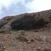
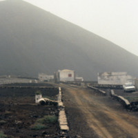
A desolate area behind Praia de Cabral with ruins and a small chapel.

http://www.ricdigitalcommons.com/Baxter_temp/CV-81-113.jpg
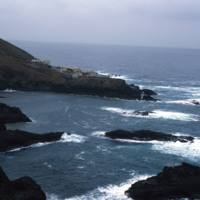
Possibly a cloister or monastery now abandoned. The rocky coastline on the way to Paùl shows how treacherous the terrain is.

http://www.ricdigitalcommons.com/Baxter_temp/CV-81-108.jpg
This coastal road, on the northern coast of Santo Antão, connects the towns of Ribeira Grande and Paúl. The road is gravel and dirt, and is, as one can see in this photograph, largely used for foot traffic. The road, for much of it's lebth, is…

http://www.ricdigitalcommons.com/Baxter_temp/CV-88-131.jpg
A typical Sunday at Calhau, a popular weekend vacation spot about 12 miles from Mindelo. Note that black volcanic pumice dominates the landscape.

http://www.ricdigitalcommons.com/Baxter_temp/CV-88-128.jpg
View of the road to Bahia das Gatas from the house of Dr. Adriano. In foreground is the weekend house "Casa Vasconcellos" owned by a well known businessman from Mindelo.

http://www.ricdigitalcommons.com/Baxter_temp/CV-89-032.jpg
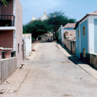
A cobblestone road leads up a steep hill to the Cathedral of Nossa Senhora da Luz (Our Lady of Light).

5127.jpg
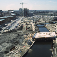
River relocation in progress. Waterplace Park is being developed with its bridges (Exchange St., Francis St., and pedestrian walkways) built or under construction. Memorial Boulevard is for now a construction site. The Westin Hotel is being erected…

http://www.ricdigitalcommons.com/temp/0806.jpg
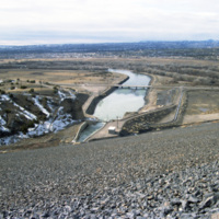
This frame is featuring one of the dams along the Rio Grande. In total there are two large dams and six small diversion dams, all of which make up the Rio Grande Project. The dams actively aide in supplying water to the states of Texas and New Mexico…

http://www.ricdigitalcommons.com/temp/1235.jpg
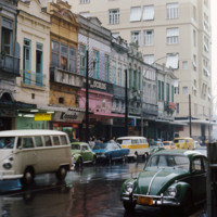
This photograph shows contrasting styles of architecture in downtown Rio de Janeiro. Here we see a row of 19th century buildings on Rua Acre with the modernist twenty two story building, The Night, at the end of the street. The older buildings are…

http://www.ricdigitalcommons.com/temp/4810.jpg
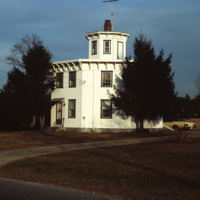
This early Victorian, two-story, wood-frame octagonal home was built in 1857 by watchmaker Albert S. Potter. As of 2016, the house is owned by the Carolina Preservation and Band Society and is listed as a landmark in the National Register of Historic…

5121.jpg
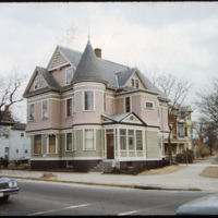
A two and a half story house with a slate hip roof, paired gable dormers, corner turret, and stained-glass windows. This is a Queen Anne style home on Westminster Street in Providence's Armory neighborhood.

http://www.ricdigitalcommons.com/Baxter_temp/CV-81-037.jpg
View of Ribeira Calhau from Monte Verde. Following the ribeira is a road that connects Calhau and Mindelo. Calhau, a fishing village that is a popular weekend resort for tourists and residents of Mindelo.

http://www.ricdigitalcommons.com/Baxter_temp/CV-81-198.jpg
Ground level view of a garden in Ribiera Brava. Believed to be the same garden pictured in slide CV81197.

http://www.ricdigitalcommons.com/Baxter_temp/CV-81-199.jpg
Here you can see the juxtaposition of the rocky terrain and the lush tropical landscape that Cape Verde is famous for. This photograph is taken in the Ribeira Brava region located in the fertile hinterland of the otherwise barren island São Nicolau.

http://www.ricdigitalcommons.com/Baxter_temp/CV-80-207.jpg
An elevated view of Ribeira Brava, the main town on São Nicolau, located in the humid interior valley.

http://www.ricdigitalcommons.com/Baxter_temp/CV-81-189.jpg
Ribeira Brava is the capital and one of two municipalities of São Nicolau. This image is a view of the Praça do Torreiro, the church square. The town, once the seat of the Bishop, includes the Ingreja Nossa Senhora do Rosàrio which is visible with…

http://www.ricdigitalcommons.com/temp/1321.jpg
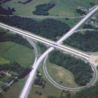
This 1960 photograph shows the construction of Interstate 95 at the junction of Route 2, also known as Quaker Lane. The area that is farm land has since been redeveloped as strip malls and large chain stores.

http://www.ricdigitalcommons.com/temp/5132.jpg
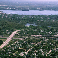
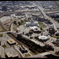
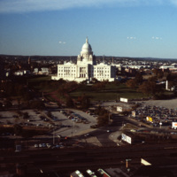
The railroad yard and parking lots that separated Providence's downtown from the Capital Center were locally referred to as a "Chinese wall." This 1983 view shows how the government offices were isolated from the rest of Providence by both these…

http://www.ricdigitalcommons.com/temp/5193.jpg
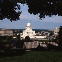
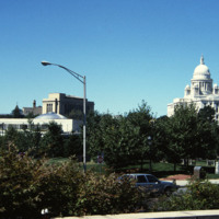
The Rhode Island State House is made up of 327,000 cubic feet (9,300 m3) of white Georgia marble, 15 million bricks, and 1,309 short tons (1,188 t) of iron floor beams (wikipedia). The dome is currently the fourth largest self-supporting stone dome…

http://www.ricdigitalcommons.com/temp/5137.jpg
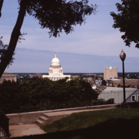
The Rhode Island State House is made up of 327,000 cubic feet (9,300 m3) of white Georgia marble, 15 million bricks, and 1,309 short tons (1,188 t) of iron floor beams (wikipedia). The dome is currently the fourth largest self-supporting stone dome…

http://www.ricdigitalcommons.com/temp/5131.jpg
In 1986, the current Providence Station (shown here) was built to replace the 1898 station, as part of a redevelopment project to free up land from a mass of train tracks that had hemmed in downtown Providence. It is much smaller than its…
http://www.ricdigitalcommons.com/temp/4979.jpg
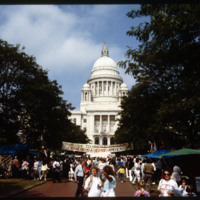
The Rhode Island State House was built in 1904, designed by McKim, Mead & White. The building's self-supporting marble dome is the fourth-largest of its kind in the world, following after only the Taj Mahal, St. Peter's Basilica, and the Minnesota…

5301.jpg
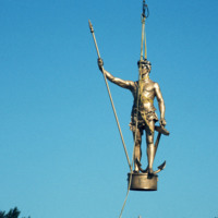
  On 20 July 1976 the “Independent Man” statue, which sits atop the Rhode Island State House, was returned after spending a year being repaired and receiving a new coat of gold leaf.  He also spent some of that time at the Warwick shopping mall. This…

5300.jpg
  The “Independent Man” was first proposed to be a statue of Roger Williams at the annual meeting of the Rhode Island Historical Society in 1895. The statue, to be placed atop the proposed new State House, was designed by George T. Brewster for…

http://www.ricdigitalcommons.com/temp/5145.jpg
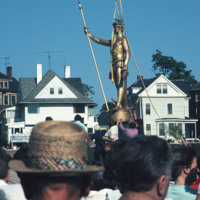
11th Annual Rhode Island Heritage Festival, 1988, photographed at the Rhode Island State House.

http://www.ricdigitalcommons.com/temp/4856.jpg
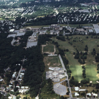
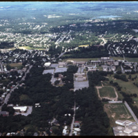
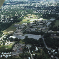
An aerial shot overlooking the Rhode Island College campus on Mount Pleasant Avenue in Providence as well as its surroundings, such as the Triggs Memorial Golf Course and Pleasant View School. The college campus moved to this particular spot in 1958,…

http://www.ricdigitalcommons.com/temp/4857.jpg
An aerial shot overlooking the Rhode Island College campus on Mount Pleasant Avenue in North Providence as well as its surroundings, such as the Triggs Memorial Golf Course and Pleasant View School. The college campus moved to this particular spot in…

http://www.ricdigitalcommons.com/temp/4852.jpg
An aerial shot overlooking the Rhode Island College campus on Mount Pleasant Avenue in North Providence as well as its surroundings, such as the Triggs Memorial Golf Course and Pleasant View School. The college campus moved to this particular spot in…

http://www.ricdigitalcommons.com/temp/0706.jpg
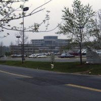
The US Geological Survey building in Reston was specially designed for the agencies purposes and opened in 1973. Previously headquarters had been in Washington, D.C. The agency was established in 1879 after a report from the National Academy of…
http://www.ricdigitalcommons.com/Baxter_temp/CV-81-268.jpg
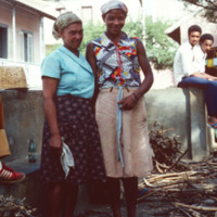
Two female residents of São Felipe pose for a photograph. They appear to be taking a break from some activity, perhaps sorting or selling firewood. In the background, some of the pastel buildings and terracotta roofs that this city is known for.
http://www.ricdigitalcommons.com/Baxter_temp/CV-81-340.jpg
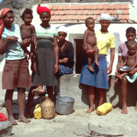
Residents of Fajã d'Água pose for a photo by David Baxter. [Unidentified]

http://www.ricdigitalcommons.com/temp/4888.jpg
A residential area in Worcester, MA. An example of urban development and growth in Worcester's single family and duplex dwellings.

http://www.ricdigitalcommons.com/temp/5185.jpg
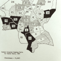
37,968 renter occupied housing units by census tract, Providence 1980. Key (in hundreds): white is less than 7.0; horizontal lined represents 7.0-10.5; diagonal lined is 10.5-14.0; and black is more than 14.0.

NTB-105-23-001.pdf
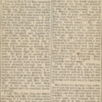
David Harrower’s Letter to the Editor, describing spiritual painting session. Harrower cites Joseph Peace Hazard’s recommendation of Mrs. Debar, who is responsible for “wonderful spiritual manifestations” in New York City.

http://www.ricdigitalcommons.com/Baxter_temp/CV-83-008.jpg
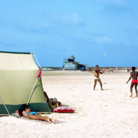
A typical scene of recreation and relaxation at Baia das gatas, a popular weekend resort for both São Vicente residents and tourists alike. It is located about eight miles west of Mindelo, the largest and only city on São Vicente. In the background…

http://www.ricdigitalcommons.com/temp/0910.jpg
Designed by Erich Mendelsohn, the Weizmann house was built in 1936 as a private home for Dr. Chaim Weizmann and his wife Dr. Vera Weizmann. Both being scientists, they chose to build their home next to the Daniel Sieff Research Institute, which is…

http://www.ricdigitalcommons.com/temp/0913.jpg
Pictured is a side view of the famous Weizmann House in Rehovot, Israel. It was built for the first president of Israel, Chaim Weizmann and his wife and has since been the official home of the country’s presidents. The house was designed with the…

http://www.ricdigitalcommons.com/temp/0907.jpg
The Memorial to the Holocaust Plaza was designed by Israeli sculptor Dani Karavan and completed in 1972. It is a memorial plaza at the the Weizmann Institute of Science, the center piece of which is a bronze and stone sculpture representing a torah…
Output Formats

atom, dcmes-xml, json, omeka-xml, rss2