Browse Items (1954 total)

http://www.ricdigitalcommons.com/temp/5374.jpg
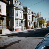
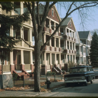
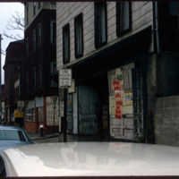
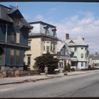
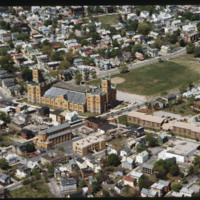
  The Armory Historic District of Providence was added to the National Register of Historic Places in 1989. The Cranston Street Armory is visible in the background of these Wood Street houses. Houses in the area vary in style from Greek Revival,…

http://www.ricdigitalcommons.com/temp/5331.jpg
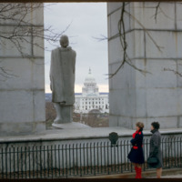
The view from Prospect Terrace looking west to the State House. This statue of Roger Williams was erected in the 1930s. Designed by Ralph Walker, the original memorial included steps leading up from Wheaton Street (below) but these plans were scaled…

http://www.ricdigitalcommons.com/temp/5323.jpg
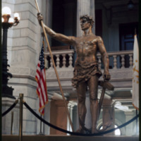
The “Independent Man” statue, which was erected on the top of the Rhode Island State House in 1899, was removed in 1975 for repairs and to receive a new coat of gold leaf.  It was returned in the summer of 1976, and was the only time it left it’s…
http://www.ricdigitalcommons.com/temp/5284.jpg
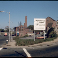
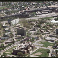
The Moshassuck Square Apartments, designed by architect William D. Warner and constructed in 1972, were a key element in the revitalization of Randall Square. The apartments are built in rows of three and four story cast-stone-trimmed brick…

http://www.ricdigitalcommons.com/temp/5269.jpg
A view of Eaton St. triple-decker houses, just before the intersection of Douglas Avenue (Rt. 7). These houses were, oftentimes, built in groups of three or more and appeared in rows lining street after street. Eventually, the presence of these…

http://www.ricdigitalcommons.com/temp/5218.jpg
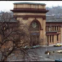
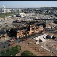
Union Station was completed in 1898 and added to the National Register of Historic Places in 1975. During renovation, on April 26, 1987, a fire broke out, eliminating most of the original interior.

http://www.ricdigitalcommons.com/temp/5264.jpg
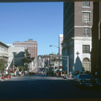
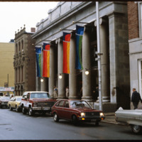
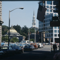
  Washington Street on Columbus Day, 1974. On the left is the Providence Public Library.

http://www.ricdigitalcommons.com/temp/5263.jpg
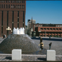
According to Woodward, Cathedral Square is the “most problematic of Providence’s open spaces.” Despite being designed by world class architects and urban planners, namely I.M. Pei and Zion & Breen, the space has been universally decried as an…

http://www.ricdigitalcommons.com/temp/5257.jpg
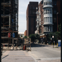
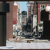
Looking north on South Main St. the peak of the Office of the Attorney General (150 South Main St.) is just visible on the left. The building in the foreground is now occupied by Ursillo, Teitz & Ritch, Ltd. The building at the north corner of…

http://www.ricdigitalcommons.com/temp/5250.jpg
Downtown Providence is the result of a westward expansion from Market Square, the town’s first commercial center. The gradual transition of business activity across the Providence River in the early years of the nineteenth century resulted in…

http://www.ricdigitalcommons.com/temp/5246.jpg
  India Point Park is a park in the Fox Point neighborhood of Providence, Rhode Island at the confluence of the Seekonk River and Providence River. The park takes its name from the maritime activity connecting Providence with the East and West…

http://www.ricdigitalcommons.com/temp/5245.jpg
  Olneyville, one of the oldest neighborhoods in Providence, is located in the central western section of the city. 

http://www.ricdigitalcommons.com/temp/5240.jpg
  Charles A. Hopkins House, built in the French Modern Gothic style. The two units appear as different halves of an asymmetrical composition. The simulated structure enframes openings and decorative panels. The house was built for an insurance agent.

http://www.ricdigitalcommons.com/temp/5239.jpg
On January 3, 1983, Vincent A. “Buddy” Cianci was inaugurated as Providence’s mayor for his third term. Having held office for more than 21 years, Buddy is the longest serving mayor of Providence, including during the city's, “Renaissance phase.”…

http://www.ricdigitalcommons.com/temp/5237.jpg
Pictured on the far left is the Charles A. Hopkins House built in 1875 on Parade Street. Purchased in October 1980 by the Providence Preservation Society, this house was the society’s first restoration project in this neighborhood. The building style…

http://www.ricdigitalcommons.com/temp/5229.jpg
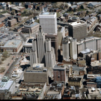
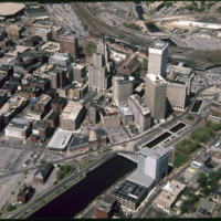
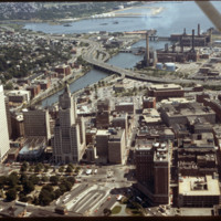
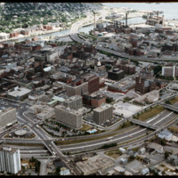
  Here is an aerial view of Downtown Providence. Providence is among America’s oldest cities and has been rebuilt many times. Providence has been one of Rhode Island’s strongest economic ports along with Newport. The city was founded by Roger…

http://www.ricdigitalcommons.com/temp/5225.jpg
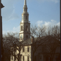
First Baptist Church was founded by Roger Williams in 1638. The building that stands today on North Main Street was built between 1774 and 1775. This building shows Providence’s increasing wealth and power during this time period. John and Joseph…

http://www.ricdigitalcommons.com/temp/5223.jpg
The Westminster Street end of the Providence Arcade (1828) by Russell Warren and James Bucklin and built for Cyrus Butler. Also known as “Butler’s Folly.” Derived ultimately from the Burlington Arcade of 1818 in London, which influenced two new world…

http://www.ricdigitalcommons.com/temp/5221.jpg
The Biltmore Hotel can be seen in the lower right of the image as well as Kennedy Plaza in the foreground. The Biltmore originally opened in 1922. It was closed in 1975 and reopened in 1979. Towards the center of the photo is the Financial District…

http://www.ricdigitalcommons.com/temp/5220.jpg
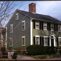
Woodward describes the Thomas Aldrich House as an asymmetrical four bay Federal style house. It was moved to Power Street from 39 Benevolent Street in 1950 to make room for the Wriston Quadrangle of Brown University. While it was built by Aldrich, a…

http://www.ricdigitalcommons.com/temp/5212.jpg
The working class housing of the Hartford neighborhood was destroyed when the Route 6 connector was built to alleviate traffic in Olneyville Square. Low-income housing (Hartoford Park Public Housing Project seen here) was built on Corbusian…

http://www.ricdigitalcommons.com/temp/5210.jpg
This building was built for investment income as a wedding present for Jerothmul B. Barnaby’s daughter and his son-in-law, after whom it is named. The tower feature on this downtown building is also employed in Nickerson’s Carr House built in 1885.…

http://www.ricdigitalcommons.com/temp/5196.jpg
According to Woodward, Cathedral Square is the “most problematic of Providence’s open spaces.” Despite being designed by world class architects and urban planners, namely I.M. Pei and Zion & Breen, the space has been universally decried as an…

http://www.ricdigitalcommons.com/temp/5191.jpg
Providence, Rhode Island is the site of 27 high-rises, 16 of which stand taller than 175 feet (53 m). The tallest skyscraper in the city is the Industrial Trust Building (1928), which rises 428 feet (130 m). Due to the what is dubbed the Providence…

http://www.ricdigitalcommons.com/temp/5183.jpg
Built in 1907 as the home of the Rhode Island National Guard, the Cranston Street Armory is massive -- 165,000 square feet of space, with a central hall the size of two football fields. Throughout its 90 years, the armory has hosted civic functions…

http://www.ricdigitalcommons.com/temp/5179.jpg
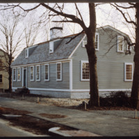
This late eighteenth-century Dutch gambrel-roofed farmhouse stood on Chalkstone Ave. where the parking lot to Roger Williams Hospital stands. Angela Brown Fischer, daughter of John Brown (d. 1979) moved this house opposite the Nightingale-Brown House…

http://www.ricdigitalcommons.com/temp/5174.jpg
Future location of the neo-Traditionalist Rhode Island Convention Center (1 Sabin St., 1994) and Westin Hotel and Residences (1993, 2007). Woodward praises the Convention Center for performing acrobatics over the existing street plan as well as its…

http://www.ricdigitalcommons.com/temp/5173.jpg
The Weybosset Hill area is bounded by Empire St. on the east, Broad and Washington Streets on the south and north, and Interstate 95 on the west. Redevelopment of this area stemmed from a 1959 recommendation of the City Plan Commission's master plan…

http://www.ricdigitalcommons.com/temp/5172.jpg
The Federal Building (Ammi B. Young, 1855-57, 24 Weybosset St.) is just visible to the left of this picture pointed from the financial district towards the East Side. That building was built where the edge of the Providence River and its port…

http://www.ricdigitalcommons.com/temp/5168.jpg
Providence's first railroad station was Union Railroad Depot, a brick edifice built in 1847 and designed by Thomas A. Tefft for the Providence and Worcester, Providence and Stonington, and Boston and Providence Railroads. This building was lost to…

http://www.ricdigitalcommons.com/temp/5161.jpg
In 1986, the current Providence Station was built to replace the 1898 Union Station, as part of a redevelopment project to free up land from a mass of train tracks that had hemmed in downtown Providence. It is much smaller than its predecessor,…

http://www.ricdigitalcommons.com/temp/5157.jpg
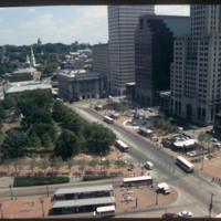
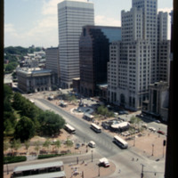
The area that comprises Kennedy Plaza and Exchange Terrace has been so constantly reworked that hardly ten years passes without its appearance being significantly altered. According to Woodward, tracking all these alterations in order to “fully…

http://www.ricdigitalcommons.com/temp/5156.jpg
According to Jordy, Walker and Gillette’s Industrial National Bank Building (1926-8) is still Providence’s finest skyscraper as it is a “superbly Art Deco culmination of the Providence skyline in a major example of a setback.” Though stepped…

http://www.ricdigitalcommons.com/temp/5154.jpg
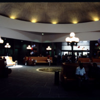
Designed by Marilyn Jordan Taylor of Skidmore, Owings and Merrill, LLC, this is a typical SOM interior where all materials are falsified. The domed interior brings a sense of polite space to the public that finds its origins in the Pantheon and domed…

http://www.ricdigitalcommons.com/temp/5153.jpg
In 1986 Providence Station was completed. It replaced the 1898 Union Station as part of a redevelopment project to free up land from a mass of train tracks that had hemmed in downtown Providence. It is much smaller than its predecessor, reflecting…

http://www.ricdigitalcommons.com/temp/5150.jpg
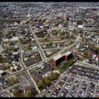
Blighted area in Upper South Providence near Rhode Island Hospital. In-fill housing eventually filled much of the vacant land.

http://www.ricdigitalcommons.com/temp/5145.jpg
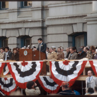
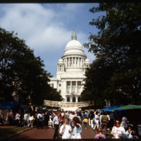
11th Annual Rhode Island Heritage Festival, 1988, photographed at the Rhode Island State House.

5144.jpg
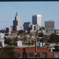
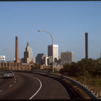
The Providence skyline, including the iconic Industrial Trust Building, pictured from Interstate 95.

http://www.ricdigitalcommons.com/temp/5139.jpg
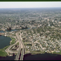
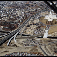
Aerial view looking west by southwest. I-95 junction with I-195. In the 2000s I-195 was relocated to the south to allow for development and to correct safety issues and that were the result of poor planning. The Providence Civic Center (Dunkin Donuts…

http://www.ricdigitalcommons.com/temp/5136.jpg
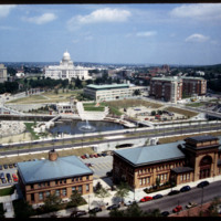
Rhode Island State House, Providence Station, Waterplace Park, Union Station as seen from the Providence Biltmore Hotel. Waterplace Park and the Riverwalk linked to it have a welcoming, well-thought-out design, which has become a focal point of the…

http://www.ricdigitalcommons.com/temp/5135.jpg
This image shows the transformation of Capital Center in progress. Francis Street construction is complete up until the over-passed train tracks and the bridge over the Woonasquatucket River. The former train tracks have been removed, but the land…

http://www.ricdigitalcommons.com/temp/5132.jpg
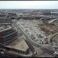
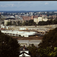
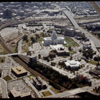
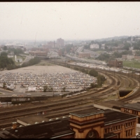
The railroad yard and parking lots that separated Providence's downtown from the Capital Center were locally referred to as a "Chinese wall." This 1983 view shows how the government offices were isolated from the rest of Providence by both these…

http://www.ricdigitalcommons.com/temp/5118.jpg
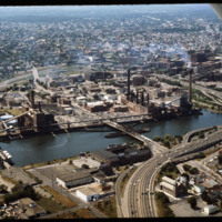
Manchester Street Power Station (1904) is a Georgian power house located on 12 acres in Providence, Rhode Island. It produces enough electricity to power about 112,000 homes, using natural gas as its fuel. Manchester Street consists of three…

http://www.ricdigitalcommons.com/temp/5115.jpg
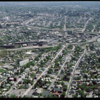
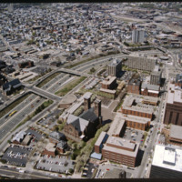
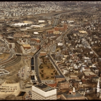
Aerial view of Interstate 95, new train tracks, the Charles Street area in the city’s North End (including the U.S. Post Office by Maguire and Associates, 1960), and the East Side.

http://www.ricdigitalcommons.com/temp/5114.jpg
Prior to the construction of Waterplace Park railroad tracks and parking lots separated the different districts of downtown Providence. This barrier was locally referred to as a, "Chinese wall." This 1977 view shows Providence before its dramatic…

http://www.ricdigitalcommons.com/temp/5128.jpg
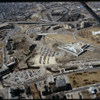
In this 1987 view the newly constructed Francis Street approach to the State House is complete thru the future intersection with Memorial Blvd. Interstate 95 separates Providence's West Side from downtown. The Foundry Building is on the left side of…

5121.jpg
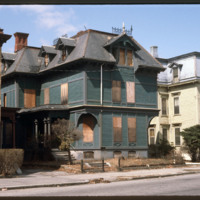
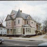
A two and a half story house with a slate hip roof, paired gable dormers, corner turret, and stained-glass windows. This is a Queen Anne style home on Westminster Street in Providence's Armory neighborhood.

http://www.ricdigitalcommons.com/temp/1300.jpg
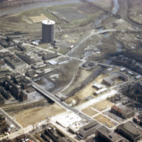
This photograph shows the the Urban Renewal Project area of Allentown before construction began. As in many cities, urban renewal in Allentown displaced many individuals and families. While Allentown did achieve some new apartment complex's, elderly…

http://www.ricdigitalcommons.com/temp/1277.jpg
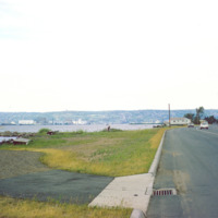
Duluth is a port city that is a hub for various regional commodities, including ore and agricultural products. This photograph shows a road on the shore of Lake Superior and looks toward Duluth.

http://www.ricdigitalcommons.com/temp/1324.jpg
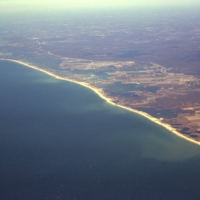
Aerial view of Rhode Islands southern shore, including Charlestown and Green Hill Beaches. Charlestown is a public beach that offers camping and recreational activities. Green Hills Beach is a private club founded in 1961.
Output Formats

atom, dcmes-xml, json, omeka-xml, rss2