Browse Items (993 total)

  • Collection: Chester Smolski Photographs

http://www.ricdigitalcommons.com/temp/1141.jpg
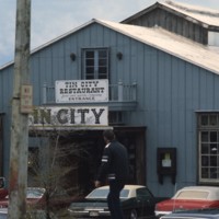
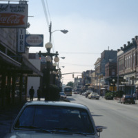
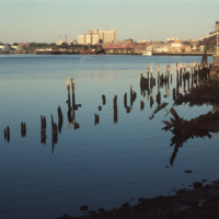
Pictured is the entrance to historic Tin City, named for its distinguishable tin roofed buildings. Ever since the 1880s, this area of waterfront has attracted many tourists. In earlier times, access to this area was rather difficult; passengers has…
http://www.ricdigitalcommons.com/temp/1161.jpg
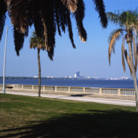
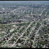
This picture shows the skyline of Tampa from St. Petersburg. The body of water separating the two cities is the Tampa Bay. The large dark colored building in the center of the photo is the Lykes Building, now called Park Tower. The two cities can be…

http://www.ricdigitalcommons.com/temp/1159.jpg
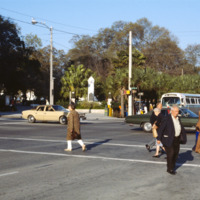
Pictured across the street on the corner of 1st and 4th Avenues (North) in St. Petersburg is the World War Heroes Memorial in Williams Park. Engrave with the word “loyalty” located at the top, this memorial was erected by the St. Petersburg chapter…

http://www.ricdigitalcommons.com/temp/1135.jpg
Worth Avenue is viewed as one of the most famous shopping districts in the state of Florida. The area first gained retail insight when The Everglades Club was built on this road in 1918. This club held weekly fashion shows showing the latest trends…

http://www.ricdigitalcommons.com/temp/1155.jpg
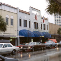
Ybor City’s 7th Avenue spans 11 blocks between 26th Street and the Nick Nuccio Parkway. Having been settled by many cigar manufacturers, 7th Avenue was known as the heart of the cigar industry. At one point, there were over 230 factories established…

http://www.ricdigitalcommons.com/temp/5246.jpg
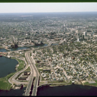
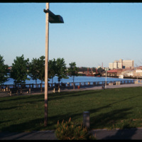
  India Point Park is a park in the Fox Point neighborhood of Providence, Rhode Island at the confluence of the Seekonk River and Providence River. The park takes its name from the maritime activity connecting Providence with the East and West…

http://www.ricdigitalcommons.com/temp/1239.jpg
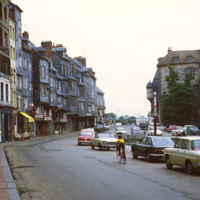
The row houses on the harbor of Honfluer are known for being picturesque and has attracted many artist who have painted this scene, photographed here in 1979. The city today is home to many historic buildings and picturesque views.

http://www.ricdigitalcommons.com/temp/1238.jpg
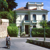
The Moyenne Corniche connects Mento to Nice and runs through the Côte d’Azur (English: French Riviera) and is named such because it is the middle cliff road between a higher and lower road. The French Riviera has long been the vacation land and…

http://www.ricdigitalcommons.com/temp/0471.jpg
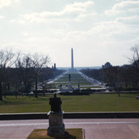
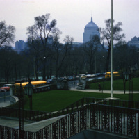
The view from the Capitol steps overlooks the National Mall and the George Washington Monument. The plan for the National Mall began at the very end of the 18th century with the vision of Pierre Charles L’Enfant. Many years and political events,…

http://www.ricdigitalcommons.com/temp/5174.jpg
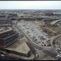
Future location of the neo-Traditionalist Rhode Island Convention Center (1 Sabin St., 1994) and Westin Hotel and Residences (1993, 2007). Woodward praises the Convention Center for performing acrobatics over the existing street plan as well as its…

http://www.ricdigitalcommons.com/temp/0472.jpg
A distant view of the Washington Monument from the National Mall, a public national park. The Washington Monument, the most prominent fixture in the D.C. skyline, was completed in 1886. (date of photograph has been approximated)

1129.jpg
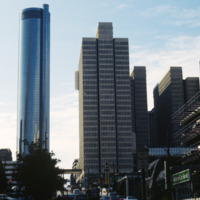
Built in 1976, the Westin Peachtree Plaza Hotel stood 73 stories tall as Atlanta

http://www.ricdigitalcommons.com/temp/5344.jpg
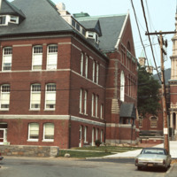
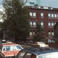
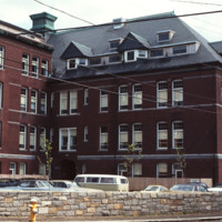
  The Central Grammar Apartments have long been the home for elderly Gloucester residents seeking affordable housing. The building, which neighbors city hall and the post office, was once home to Gloucester Grammar School. In 2010, the Central…

http://www.ricdigitalcommons.com/temp/5351.jpg
  The Central Grammar Apartments elderly housing facility in Gloucester, Massachusetts. 

http://www.ricdigitalcommons.com/temp/5350.jpg
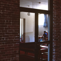
  A lack of natural light leaves the community room at the Central Grammar Apartments in the dark. The housing facility received a grant in 2010 for renovations.

http://www.ricdigitalcommons.com/temp/5346.jpg
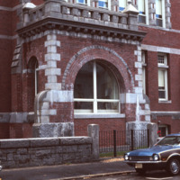
  The former entrance to the Central Grammar Apartments in Gloucester, Massachusetts. The elderly apartment housing was renovated and updated in 2010 with a grant from the state Department of Housing and Community Development.

http://www.ricdigitalcommons.com/temp/5349.jpg
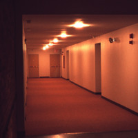
  The historic exterior of the Central Grammar Apartments does not lend its style to the interior. The interior hallway has stark, institutional finishes.

http://www.ricdigitalcommons.com/temp/5347.jpg
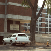
  The Central Apartments elderly housing building and the rear parking lot, located on Mason Street in Gloucester, Massachusetts.

http://www.ricdigitalcommons.com/temp/5341.jpg
Gloucester is located on Cape Ann in Massachusetts. Once known at “le beau port” by settlers, Gloucester became one of the ship building capitals of New England in the 18th century. Two major fires -- one in 1830 and one in 1864 -- destroyed many of…

http://www.ricdigitalcommons.com/temp/5342.jpg
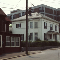
  The Senior Care Center located at 31 Prospect St. was originally housing for the elderly funded by the city of Gloucester, Massachusetts. The project was undertaken by Govenor Francis W. Sargent who held that position from 1965-1979. The site is…

http://www.ricdigitalcommons.com/temp/5343.jpg
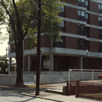
  The Senior Care Center located at 31 Prospect St. was originally housing for the elderly funded by the city of Gloucester, Massachusetts. The project was undertaken by Govenor Francis W. Sargent who held that position from 1965-1979.  The site is…

http://www.ricdigitalcommons.com/temp/5345.jpg
  The view of the Prospect Street elderly housing, as seen from a lower vantage point. The top of the building is clearly visible above the homes in the surrounding neighborhoods. 

1241.jpg
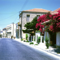
This photograph was taken in Greece during the Greek military junta of 1967-1974. It was a time of unrest, military rule, and violence in Greece. Smolski notes,

http://www.ricdigitalcommons.com/temp/0699.jpg
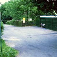
This photograph shows a problem common in many new towns built in the early the twentieth century. As expendable income increased, planned communities modeled on Garden Cities were not able to accomodate either the amount or size of automobiles…

http://www.ricdigitalcommons.com/temp/0698.jpg
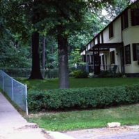
Greenbelt is a planned community in Maryland, created as part of the New Deal during the Roosevelt administration. This photograph shows a well cared for home in Greenbelt, which was built as an American Garden City. Garden Cities, the brainchild of…

http://www.ricdigitalcommons.com/temp/0697.jpg
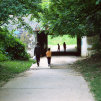
Greenbelt was built during the Roosevelt Administration at the tail end of the Great Depression. This photograph shows Greenbelt in 1970 and the walkways are deteriorating and walls are covered in graffiti. Greenbelt was a new town built and…

http://www.ricdigitalcommons.com/temp/5040.jpg
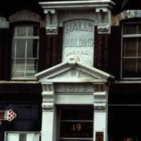
Detail of the Hall's Building on Weybossett Street showing the storefront prior to restoration in 1981. The Hall's Building is a cast-iron, five story structure built in the Victorian Gothic style. This detail shows the corbel-and-bracketed cornice…
http://www.ricdigitalcommons.com/temp/0421.jpg
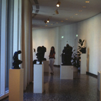
  As the tallest building in Boston, the John Hancock Tower is one of the most recognizable pieces of architecture in the skyline. The tower is located in Copley Place where its stands alone, away from the downtown high-rises. The tower was built by…

http://www.ricdigitalcommons.com/temp/5245.jpg
  Olneyville, one of the oldest neighborhoods in Providence, is located in the central western section of the city. 

http://www.ricdigitalcommons.com/temp/5212.jpg
The working class housing of the Hartford neighborhood was destroyed when the Route 6 connector was built to alleviate traffic in Olneyville Square. Low-income housing (Hartoford Park Public Housing Project seen here) was built on Corbusian…

5518.jpg
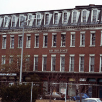
Designed by James Bucklin, the Hay Block (1867) is a Second Empire commercial building composed of red brick with granite trim. On the street level are cast iron storefronts.  The Hay Block was then “married” to Stone and Carpenter’s Owen Building to…

http://www.ricdigitalcommons.com/temp/0700.jpg
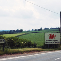
This 1980 photograph looks into Gwent from the Wales - England border. In 1974 Gwent was made a local government through the Local Government Act of 1972. It was abolished in 1996 under The Local Government Act 1994, which reconstructed Wales into…
http://www.ricdigitalcommons.com/temp/0473.jpg
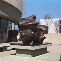
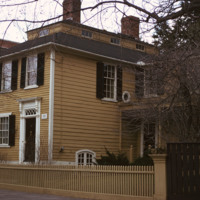
The Hirshhorn Museum Sculpture Garden, a Smithsonian institution, is an architectural landmark in Washington D.C. The garden added to the architectural significance, featuring sculptural pieces in the grounds surrounding the museum. (date of…

http://www.ricdigitalcommons.com/temp/0479.jpg
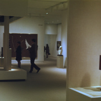
Exhibits at the Hirshhorn Museum in Washington D.C. The Hirshhorn is an architectural landmark and includes an outdoor sculpture garden on its grounds. The Hirshhorn Museum is a Smithsonian institution located on the National Mall. The museum is…

http://www.ricdigitalcommons.com/temp/0482.jpg
Exhibits at the Hirshhorn Museum in Washington D.C. The Hirshhorn is an architectural landmark and includes an outdoor sculpture garden on its grounds. The Hirshhorn Museum is a Smithsonian institution located on the National Mall. The museum is…

5397.jpg
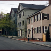
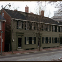
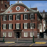
The East Side of Providence is populated with historic homes. The area known as College Hill and Benefit Street are particularly ripe with historic homes built in the late 18th century, before and after the American Revolution. The federal style of…

http://www.ricdigitalcommons.com/temp/5401.jpg
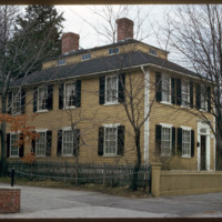
  John Holden Greene built two houses neighboring each other on Power Street. The first of two, pictured here, was built for James Burrough at 160 Power Street. Greene was known for his monitor-on-hip-roof which he featured in this small-scale home.…

http://www.ricdigitalcommons.com/temp/5400.jpg
  John Holden Greene built this Federal house for James Burrough in 1818. Burrough was a officer at the custom house. The home Greene built for Burrough exemplifies his signature monitor-on-hip-roof. The Burrough family comissioned other homes in the…

http://www.ricdigitalcommons.com/temp/5403.jpg
  Joseph Brown was one of the four famous Brown brothers of Providence who were heirs to the shipping fortune of their father. Joseph Brown taught mathematics and astronomy at Brown University, but was also an amateur architect. Brown built this home…

5398.jpg


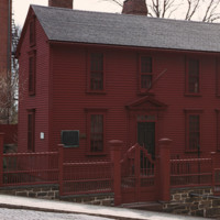
In 1743, Stephen Hopkins purchased a home built in 1707. Hopkins attached his own two-story house to the structure, built with a single ground floor room on either side of a central hallway and two chimneys

http://www.ricdigitalcommons.com/temp/5251.jpg
The new establishment of an apartment housing community in Taunton, MA. The sign reads: Canterburry Apartments at Taunton. An example of urban development in Massachusetts in the early 1970s.

http://www.ricdigitalcommons.com/temp/0458.jpg
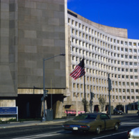
The U.S. Department of Housing and Urban Development headquarters located in Washington, D.C. The Department of Housing and Urban Development Act of 1965 created the Housing and Urban Development agency, or HUD under President Lyndon Johnson. The HUD…

5249.jpg
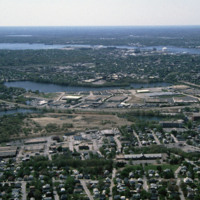
Huntington Industrial Park was formerly part of the West Elmwood neighborhood. The construction of Route 10 and a nation wide urban renewal movement in the mid 20th century led to the demolition of the neighborhood in favor of highway and trucking…

http://www.ricdigitalcommons.com/temp/5116.jpg
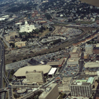
Here we see how the former Chinese Wall of train tracks had prevented the downtown development from reaching the capital. The center of the city is essentially a parking lot along the parameter of the downtown financial district. What we see is the…

http://www.ricdigitalcommons.com/temp/5323.jpg
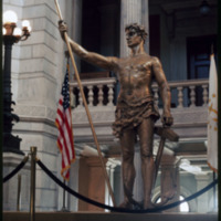
The “Independent Man” statue, which was erected on the top of the Rhode Island State House in 1899, was removed in 1975 for repairs and to receive a new coat of gold leaf.  It was returned in the summer of 1976, and was the only time it left it’s…

http://www.ricdigitalcommons.com/temp/5507.jpg
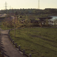
India Point Park features 18 acres of open space, graceful trees, and walking paths along its 3,600-foot shoreline. Located at the confluence of the Seekonk and Providence Rivers where they widen into Narragansett Bay, the Park is the only broad…

5299.jpg
View looking East from India Point Park. In the distance stands the old India Point Park Pedestrian bridge. Originally measuring 8 feet wide, the bridge was built in 1971 and then demolished in 2005 to be reconstructed. It was officially replaced in…

http://www.ricdigitalcommons.com/temp/4854.jpg
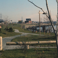
India Point Park is located in Fox Point, a Providence neighborhood, at the junction of the Seekonk River and Providence River. The area that became India Point Park had previously been developed wharves, ships' provisioners, and light industrial…

http://www.ricdigitalcommons.com/temp/5506.jpg
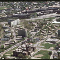
  Industrial development along Allens Ave. photographed from India Point Park. Shown: (left to right) Sprague Providence Terminal, Rhode Island Hospital, Ambulatory Care Center, Manchester Station. 
Output Formats

atom, dcmes-xml, json, omeka-xml, rss2