Browse Items (1954 total)

5249.jpg
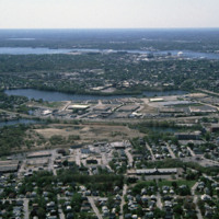
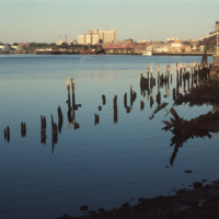
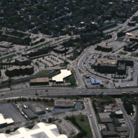
Huntington Industrial Park was formerly part of the West Elmwood neighborhood. The construction of Route 10 and a nation wide urban renewal movement in the mid 20th century led to the demolition of the neighborhood in favor of highway and trucking…

http://www.ricdigitalcommons.com/temp/5116.jpg
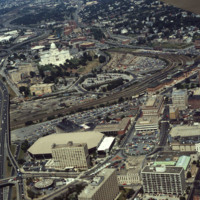
Here we see how the former Chinese Wall of train tracks had prevented the downtown development from reaching the capital. The center of the city is essentially a parking lot along the parameter of the downtown financial district. What we see is the…

http://www.ricdigitalcommons.com/Baxter_temp/CV-88-035.jpg
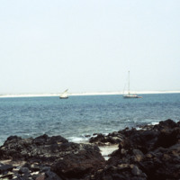
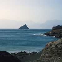
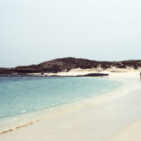
This photo was taken on the shores of Ilha de Sal Rei looking towards Sal Rei, Boa Vista on the distant horizon. It depicts just how relatively close the two are from each other.

http://www.ricdigitalcommons.com/Baxter_temp/CV-88-036.jpg
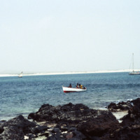
This photo was taken on the shores of Ilha de Sal Rei looking towards Sal Rei, Boa Vista on the distant horizon. It depicts just how relatively close the two are from each other.

Three men in a small vessel appear to be approaching the small islet.

http://www.ricdigitalcommons.com/Baxter_temp/CV-81-019.jpg
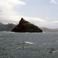
A volcanic seamont, the Ilhéu dos Pássaros, marks the boarder between the Bay of Mindelo and the Canal de São Vicente.

http://www.ricdigitalcommons.com/Baxter_temp/CV-81-023.jpg
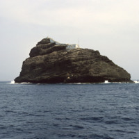
A volcanic seamont in the Atlantic Ocean, Ilhéu de Pássaros is an uninhabited rock that marks the border between the Bay of Mindelo and the Canal de São Vicente. The only structure on the islet is a lighthouse.
http://www.ricdigitalcommons.com/Baxter_temp/CV-81-065.jpg
Ilhéu dos Pássaros, an islet that forms the border between Bay of Mindelo and Canal de São Vicente, is photographed from "Porto Novo," a ferry that formerly provided daily service between the islands São Vicente and Santo Antão. Here, this photograph…

http://www.ricdigitalcommons.com/Baxter_temp/CV-81-227.jpg
A view from Tarrafal Bay on the western coast of São Nicolau. On the horizon are two of the uninhabited islands in the Cape Verde Archipelago: (left to right) Ilhéu Raso and Ilhéu Branco. Raso, the bigger of the two, is home to the Raso lark (Alauda…
http://www.ricdigitalcommons.com/Baxter_temp/CV-88-016.jpg
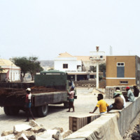
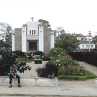
Steel cables imported to Boa Vista through Port of Sal Rei are loaded onto a truck.

http://www.ricdigitalcommons.com/temp/5323.jpg
The “Independent Man” statue, which was erected on the top of the Rhode Island State House in 1899, was removed in 1975 for repairs and to receive a new coat of gold leaf.  It was returned in the summer of 1976, and was the only time it left it’s…

http://www.ricdigitalcommons.com/temp/5507.jpg
India Point Park features 18 acres of open space, graceful trees, and walking paths along its 3,600-foot shoreline. Located at the confluence of the Seekonk and Providence Rivers where they widen into Narragansett Bay, the Park is the only broad…

5299.jpg
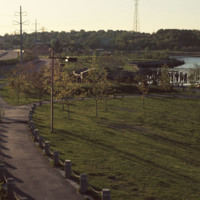
View looking East from India Point Park. In the distance stands the old India Point Park Pedestrian bridge. Originally measuring 8 feet wide, the bridge was built in 1971 and then demolished in 2005 to be reconstructed. It was officially replaced in…

http://www.ricdigitalcommons.com/temp/4854.jpg
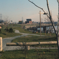
India Point Park is located in Fox Point, a Providence neighborhood, at the junction of the Seekonk River and Providence River. The area that became India Point Park had previously been developed wharves, ships' provisioners, and light industrial…

http://www.ricdigitalcommons.com/temp/5506.jpg
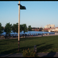
  Industrial development along Allens Ave. photographed from India Point Park. Shown: (left to right) Sprague Providence Terminal, Rhode Island Hospital, Ambulatory Care Center, Manchester Station. 

http://www.ricdigitalcommons.com/temp/0583.jpg
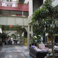
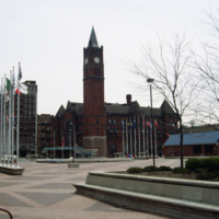
Interior photograph of the Crowne Plaza Hotel at Indianapolis Union Station. The hotel is located in the train shed which was completed in 1915. Following World War II the station saw rapidly declining numbers in passanger service fell increasing to…

http://www.ricdigitalcommons.com/temp/0588.jpg
Indiana Avenue Apartments photographed from University Place Hotel at IUPUI campus in Indianapolis. The Indiana Avenue Apartments are public housing managed by the Indianapolis Housing Agency (IHA).

http://www.ricdigitalcommons.com/temp/0586.jpg
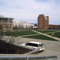
This photograph shows the integration of Indiana University-Purdue University Indianapolis campus with the University Place Hotel in downtown Indianapolis. Cavanaugh Hall, at frame left, is home of Indiana University’s School of Liberal Arts. Between…

http://www.ricdigitalcommons.com/temp/0575.jpg
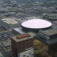
This is an aerial shot of Market Square Arena in Indianapolis, Indiana in the early 1990s. The arena was completed in 1974, closed in 1999, and demolished in 2001. It was Indiana's primary concert venue until its demolition, hosting acts such as…

http://www.ricdigitalcommons.com/temp/0582.jpg
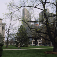
Photographed from the lawn of the Indian State Capitol is the One America Building, the state’s tallest building from 1982 to 1990 when it was surpassed by the Chase Tower. At the left of the photograph is an example of the Neoclassical facade of the…

http://www.ricdigitalcommons.com/temp/0580.jpg
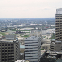
This photograph is believed to be taken from the Chase Tower. Completed in 1990, the Chase Tower (at the time known as the Bank One Tower), at 830 feet, surpassed the One America Tower (pictured, left) as the tallest building in the state. The One…

http://www.ricdigitalcommons.com/temp/0579.jpg
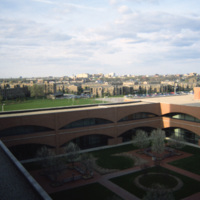
The Indianapolis skyline as seen from Indiana University - Purdue University Indianapolis. The campus serves both universities as an urban campus in Indianapolis. This photo was likely taken from University Place Hotel and shows the IUPUI conference…

http://www.ricdigitalcommons.com/temp/0587.jpg
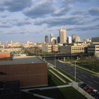
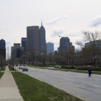
This east facing view down W New York St. shows the Indianapolis’ skyline rising up from the flat midwestern landscape. The state’s two tallest buildings, the Chase Tower and the One America Tower are pictured in the center.

http://www.ricdigitalcommons.com/temp/0585.jpg
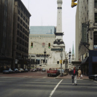
The Soldiers’ and Sailors’ monument was designed by Bruno Schmitz, a German architect, for the city of Indianapolis. The building houses a basement Civil War Museum. There is an observation deck at the top that can be reached by climbing 330 stairs,…

http://www.ricdigitalcommons.com/temp/0576.jpg
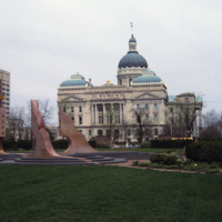
The Indiana State House is the fourth structure to house the Indiana government, and has been the current State House since 1887, a year before the buildings formal completion. Designed by Edwin May in 1878, the building utilizes an extended Greek…

http://www.ricdigitalcommons.com/temp/0577.jpg
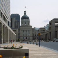
Viewed from the south side, this photograph of Indiana’s State House shows the Italian Renaissance style dome and Neoclassical facade that makes this building one of the finest example of Neoclassical architecture in the state. The building was…

http://www.ricdigitalcommons.com/temp/0581.jpg
Thomas Rodd’s design of Indianapolis Union Station shows influence of noted architect Henry Hobson Richardson. Also shown here is the Pan American Plaza, built in 1987 to commemorate the Pan American Games held in town. The Union Station still serves…

http://www.ricdigitalcommons.com/temp/0584.jpg
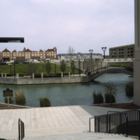
Indianapolis’ White River State Park was built around the site of the Central Canal, a failed canal venture from the early nineteenth century. Since the restoration in the 1980s, the park has become the cultural center of the city and is considered…

http://www.ricdigitalcommons.com/temp/0578.jpg
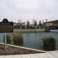
This photograph shows the site of the Central Canal, a proposed 296 mile canal that was to connect Peru to Evansville where it would then meet the Ohio River.The canal was aborted after the state fell into bankruptcy in 1939. This 1993 photograph…

http://www.ricdigitalcommons.com/Baxter_temp/CV-81-325.jpg
Ingreja do Nazareno, a Protestant church in Nova Sintra, is the oldest church on Brava. It is located near the a town square, or praça, one of seven in this hilly town.

http://www.ricdigitalcommons.com/Baxter_temp/CV-81-193.jpg
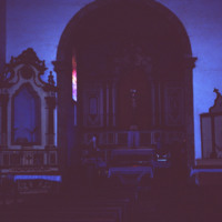
Interior of Ingreja Nossa Senhora do Rosàrio.

[Edited to enhance detail.]
http://www.ricdigitalcommons.com/Baxter_temp/CV-81-194.jpg
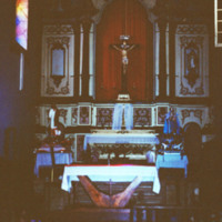
Another interior shot of the Ingreja Nossa Senhora do Rosàrio.

http://www.ricdigitalcommons.com/Baxter_temp/CV-81-183.jpg
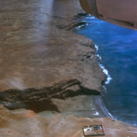
Aerial view of an inlet into a rocky and dry coastline. Four structures are pictured. They may be homes or fisheries.

http://www.ricdigitalcommons.com/Baxter_temp/CV-85-012.jpg
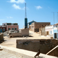
Sal Rei is the largest settlement in Boa Vista. Its streets are arranged in a gridded pattern.

http://www.ricdigitalcommons.com/Baxter_temp/CV-83-046.jpg
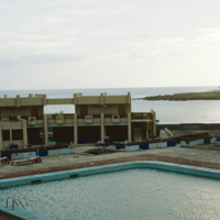
Here is another angle of the Teacher Training College, probably taken from the rooftop. The inner quarter includes a large swimming pool.

The system provides its teachers with the training necessary to be successful educators. Individuals planning…

http://www.ricdigitalcommons.com/Baxter_temp/CV-81-297.jpg
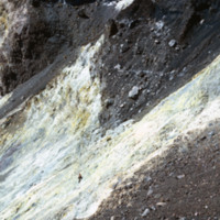
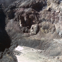
Photograph showing the inside of Pico do Fogo, at the time of this photograph, a dormant volcano. Since 1981 it has had one eruption, in 1995.

http://www.ricdigitalcommons.com/Baxter_temp/CV-81-298.jpg
Photograph showing the inside of Pico do Fogo, at the time of this photograph, a dormant volcano. Since 1981 it has had one eruption, in 1995. There is a man in the photograph to give scale to the massive, rocky slope pictured.

http://www.ricdigitalcommons.com/Baxter_temp/CV-81-299.jpg
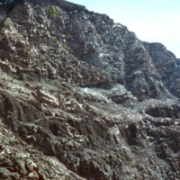
Photograph showing the inside of Pico do Fogo, at the time of this photograph, a dormant volcano. Since 1981 it has had one eruption, in 1995.

http://www.ricdigitalcommons.com/Baxter_temp/CV-81-300.jpg
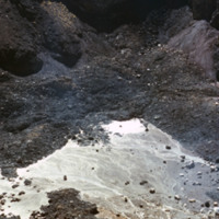
Photograph showing the inside of Pico do Fogo, at the time of this photograph, a dormant volcano. Since 1981 it has had one eruption, in 1995.

http://www.ricdigitalcommons.com/Baxter_temp/CV-81-303.jpg
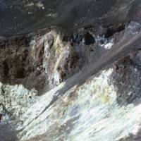
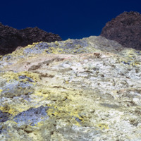
Detail of colorful rocks formed by eruption at Pico do Fogo, a dormant volcano on Fogo that's last eruption was in 1995. This photograph was made in 1981.

http://www.ricdigitalcommons.com/Baxter_temp/CV-88-099.jpg
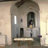
The following images show an interior view of Church Rabil from the preceding slides. Focal in this image is what appears to be the front of the church's sanctuary.

http://www.ricdigitalcommons.com/Baxter_temp/CV-88-100.jpg
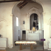
The following images show an interior view of Church Rabil from the preceding slides. Focal in this image is what appears to be the front of the church's sanctuary.

http://www.ricdigitalcommons.com/Baxter_temp/CV-88-101.jpg
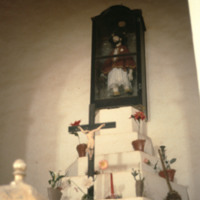
A close up of the front altar displays the crucifixion cross, some local flora, as well as an encased doll of a man.

http://www.ricdigitalcommons.com/Baxter_temp/CV-88-102.jpg
This photo appears to have been taken of the inner front facade of the Church Rabil.

http://www.ricdigitalcommons.com/Baxter_temp/CV-88-047.jpg
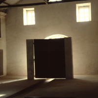
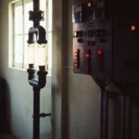
The Danish government built this desalination plant in Cape Verde just prior to this 1988 photograph.

Natural fresh water resources are few to nonexistent in many islands of Cape Verde. Therefore, seawater desalination plants are absolutely…

http://www.ricdigitalcommons.com/temp/5154.jpg
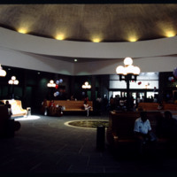
Designed by Marilyn Jordan Taylor of Skidmore, Owings and Merrill, LLC, this is a typical SOM interior where all materials are falsified. The domed interior brings a sense of polite space to the public that finds its origins in the Pantheon and domed…

http://www.ricdigitalcommons.com/temp/5244.jpg
Interstate 95 is the longest Interstate in Rhode Island. It was completed fully in 1972 and is the main highway that serves Providence. It was constructed first in Kent County and next in Providence and Pawtucket. It was finished in 1972 by…
http://www.ricdigitalcommons.com/temp/1172.jpg
Know as the “Inverted Pyramid Pier” by local St. Petersburg residents, this famous pier was constructed in 1973 as a landmark of the city’s downtown waterfront area. This pier replaced the 1926 Million Dollar Pier which was torn down to make way for…

http://www.ricdigitalcommons.com/temp/0799.jpg
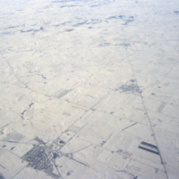
This aerial photograph shows patterns made by roads and farm land in the Iowan landscape during the winter.

Tags:

http://www.ricdigitalcommons.com/Baxter_temp/CV-88-030.jpg
Ilha de Sal-Rei, an islet located just 1 km west of Sal Rei, Boa Vista is a small relatively deserted area. Although little remnants remain, the islet is known as the site of the fort of the Duque de Bragan
Output Formats

atom, dcmes-xml, json, omeka-xml, rss2