Browse Items (1954 total)

http://www.ricdigitalcommons.com/Baxter_temp/CV-83-018.jpg
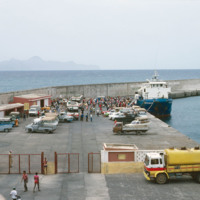
A photograph of "Cais Grande" (Main Dock) at Porto Grande. Porto Grande is the main port for imports and exports in Cape Verde.

http://www.ricdigitalcommons.com/Baxter_temp/CV-83-014.jpg
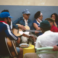
"Festinha" at the house of Ti Cesar (Cesar Santos), Ribeirinha, Mindelo. Ti Cesar is well known to everyone in S

http://www.ricdigitalcommons.com/Baxter_temp/CV-83-016.jpg
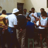
"Festinha" at the house of Ti Cesar (Cesar Santos), Ribeirinha, Mindelo. Ti Cesar is well known to everyone in S

http://www.ricdigitalcommons.com/Baxter_temp/CV-83-017.jpg
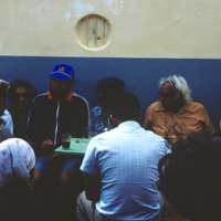
"Festinha" at the house of Ti Cesar (Cesar Santos), Ribeirinha, Mindelo. Ti Cesar is well known to everyone in S

http://www.ricdigitalcommons.com/Baxter_temp/CV-81-059.jpg
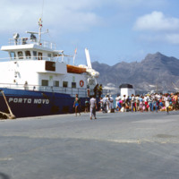
The "Porto Novo," was a ferry that connected São Vicente and Santoa Antão with daily service. The ship has since been retired.

http://www.ricdigitalcommons.com/temp/1237.jpg
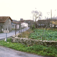
This photograph shows the village of Urbina. The road is A-4016, which runs through the center of the small village. It is about 20 miles south of Bilbao, capital of the province of Biscany.

http://www.ricdigitalcommons.com/Baxter_temp/CV-89-034.jpg
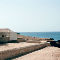
Area around an 18th century fort just on the outskirts of Vila do Maio.

http://www.ricdigitalcommons.com/Baxter_temp/CV-81-131.jpg
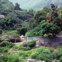
More evidence of the tropical climate this island experiences with lush landscape including palm trees. The deep valleys tin this photograph are dramatically captured here. The people at the bottom of the picture are possibly washing their clothes.

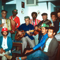
http://www.ricdigitalcommons.com/Baxter_temp/CV-81-366.jpg
Musicians and friends gather at a "despedida" or farewell party for someone leaving Cape Verde.

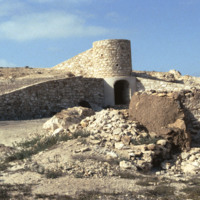
http://www.ricdigitalcommons.com/Baxter_temp/CV-88-103.jpg
A rural kiln designed by the German geologist Matias Heine who is thought to have lived in Boa Vista during the mid 1980's. The purpose of this kiln is to bake the local "cal" or limestone more efficiently than traditional methods in order to make…

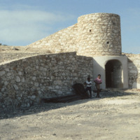
http://www.ricdigitalcommons.com/Baxter_temp/CV-88-104.jpg
A rural kiln designed by the German geologist Matias Heine who is thought to have lived in Boa Vista during the mid 1980's. The purpose of this kiln is to bake the local "cal" or limestone more efficiently than traditional methods in order to make…

http://www.ricdigitalcommons.com/Baxter_temp/CV-88-105.jpg
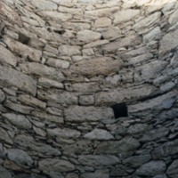
The main shaft of a rural kiln designed by the German geologist Matias Heine who is thought to have lived in Boa Vista during the mid 1980's. The purpose of this kiln is to bake the local "cal" or limestone more efficiently than traditional methods…

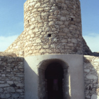
http://www.ricdigitalcommons.com/Baxter_temp/CV-88-106.jpg
A rural kiln designed by the German geologist Matias Heine who is thought to have lived in Boa Vista during the mid 1980's. The purpose of this kiln is to bake the local "cal" or limestone more efficiently than traditional methods in order to make…

http://www.ricdigitalcommons.com/Baxter_temp/CV-88-107.jpg
A rural kiln designed by the German geologist Matias Heine who is thought to have lived in Boa Vista during the mid 1980's. The purpose of this kiln is to bake the local "cal" or limestone more efficiently than traditional methods in order to make…

NTB-105-01-002.pdf
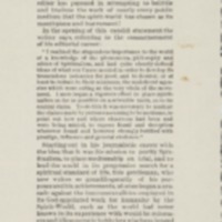
Clipping from “The Banner of Light,” sent by Luther Colby to Joseph Peace Hazard. Quotes another publication which refers to “the fraud-condoning concern known as the Banner of Light”; includes defense of the “The Banner of Light” as “slow to…

http://www.ricdigitalcommons.com/temp/4981.jpg
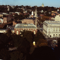
This shot overlooks the residential hills of East Providence as well as College Hill. In the middle, one can see the tower of the First Baptist Church -- to the right, the green dome of the First Church of Christ, Scientist on the horizon.

http://www.ricdigitalcommons.com/temp/5577.jpg
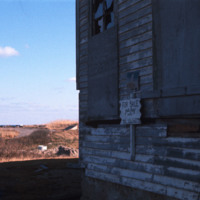
  An abandoned home for sale on Block Island.  The only town on Block Island is New Shoreham, which at the 2000 census had a population of 1,010 people.  Of those, about 7.9% live below the poverty line.  (date of photograph has been approximated)

JM-IAIRI-1903XXXX-X.jpg
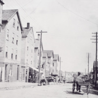
Pushcarts were a way of Italian immigrants to sell their wares in the neighborhood. Much akin to the marketplaces of their motherland, Italians in Providence would bring goods to their neighborhood and "push carts" around offering exchanges for what…

http://www.ricdigitalcommons.com/temp/0448.jpg
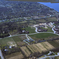
An aerial view of a planned community. Planned communities became popular in the 1960s throughout the United States. Planned communities typically made deliberate use of land that was previously unoccupied.

http://www.ricdigitalcommons.com/temp/0411.jpg
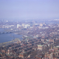
  Smolski captures an aerial view of Boston along the Charles River in 1966. 

http://www.ricdigitalcommons.com/temp/5215.jpg
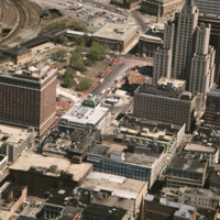
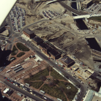
Kennedy Plaza and the former Chinese Wall of train tracks are seen in the center and upper left. The train tracks sealed off the Capital Center area of Providence from this, the traditional financial district.

http://www.ricdigitalcommons.com/temp/5182.jpg
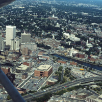
Aerial of downtown, I-195, and the Providence River. The building at Old Stone Square and Fleet Center are in the early stages of construction in this photo.

http://www.ricdigitalcommons.com/temp/5178.jpg
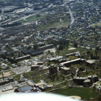
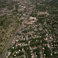
Aerial view looking east over Elmhurst and Wansuck neighborhoods in northwest Providence. Providence College in the foreground, Douglas Ave., St. Patrick’s Cemetery, and the Chad Brown Housing Project (1941). Chad Brown was the first low-rent public…

http://www.ricdigitalcommons.com/temp/5120.jpg
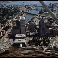
Towards the bottom of this image can be seen the so-called “Chinese Wall” that virtually separated downtown from Capital Center before the urban renaissance. Construction on Fleet Center is underway in the center, as well as Old Stone Square on South…

http://www.ricdigitalcommons.com/temp/5167.jpg
Aerial showing the old Financial District with new additions including the building at Old Stone Square (Edward Larrabee Barnes, 1984), 50 Kennedy Plaza (a.k.a. Fleet Center, Helmut, Obata & Kassebaum, 1985), One Financial Plaza (a.k.a Soveign…

http://www.ricdigitalcommons.com/temp/5170.jpg
Railroad relocation was one of the core elements of the Providence Renaissance. In this aerial we can see the dirt lot where the railroad tracks were formerly located. Here we also see the burned roof of Union Station.

http://www.ricdigitalcommons.com/temp/5163.jpg
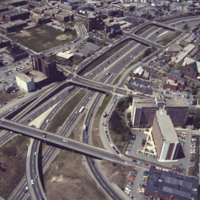
This aerial shows the way in which I-95 bisects the Financial District of downtown from Federal Hill and the West Side of Providence. Overpasses from top to bottom include Broadway, Washington Street, Westminster Sreet, Broad Street, and Pine Street…

http://www.ricdigitalcommons.com/Baxter_temp/CV-85-073.jpg
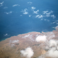
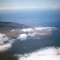
This aerial was taken off of the coast of Mindelo on the Cape Verdean island of S

http://www.ricdigitalcommons.com/temp/0441.jpg
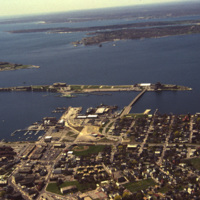
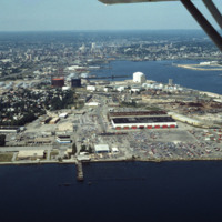
An aerial view of Newport Harbor and waterfront in Newport, Rhode Island. Long Wharf, to the right, and Goat Island, the slender island just offshore, are located on the western side of island. The shipping industry has a long history in Newport,…

http://www.ricdigitalcommons.com/temp/5216.jpg
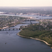
This aerial shows the city of Providence over the Seekonk River, as well as the bridges that cross this river. The Seekonk River begins where the Blackstone River reaches sea level, which is just under Pawtucket Falls. From here, the river flows…

http://www.ricdigitalcommons.com/temp/5130.jpg
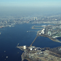
The Providence River is a tidal river that flows approximately 8 miles (13 km) from Narragansett Bay until it splits into the Woonasquatucket and Moshassuck Rivers in Providence. There are no dams along the river's length, although the Fox Point…

http://www.ricdigitalcommons.com/temp/5169.jpg
Designed by the architectural firm of McKim, Mead & White and constructed from 1895 to 1904. The building underwent a major renovation in the late 1990s. The building is made up of 327,000 cubic feet (9,300 m3) of white Georgia marble, 15 million…

http://www.ricdigitalcommons.com/temp/5119.jpg
Designed by the architectural firm of McKim, Mead & White and constructed from 1895 to 1904. The building underwent a major renovation in the late 1990s. The building is made up of 327,000 cubic feet (9,300 m3) of white Georgia marble, 15 million…

http://www.ricdigitalcommons.com/temp/5243.jpg
The downtown area of Providence, is the oldest business district in the city. In this area, many buildings can be seen dating from the late Federal and Greek Revival periods. Also seen in this aerial is the Rhode Island State House built between 1891…

http://www.ricdigitalcommons.com/Baxter_temp/CV-85-079.jpg
An aerial view of Baia das Gatas on S

http://www.ricdigitalcommons.com/temp/5198.jpg
Before Roger Williams Park (1871), Fields Point was considered the city’s premier park location and the site of popular restaurants and the Washington Park Yacht Club. Once a “bucolic landscape of rolling hills, quiet coves and shaded groves”, Fields…

http://www.ricdigitalcommons.com/temp/1290.jpg
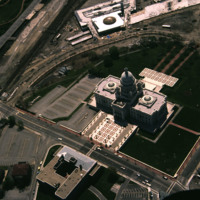
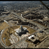
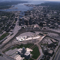
An aerial view of Madison, including the Triangle redevelopment project. On the horizon the state capitol is visible.

http://www.ricdigitalcommons.com/Baxter_temp/CV-89-001.jpg
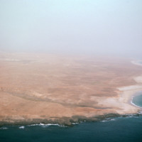
An east facing aerial view of Maio photographed from above Vila do Maio.

http://www.ricdigitalcommons.com/Baxter_temp/CV-89-002.jpg
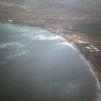
An aerial view of the western coast of Maio. This north facing view shows a beach leading away from Vila do Maio and Calheta on the horizon, center right in this photograph.

http://www.ricdigitalcommons.com/temp/0442.jpg
An aerial view over Middletown, Rhode Island. The building with the large lot is Newport Grand Jai Alai, shortened to Newport Grand, a casino. The photo shows development along Route 138, just outside of Newport.

http://www.ricdigitalcommons.com/temp/5495.jpg
  Newport is a city on Aquidneck Island in Newport County, Rhode Island. It is about 30 miles south of Providence. Known as a New England summer resort and for the famous Newport Mansions, it is the home of Salve Regina University and Naval Station…

Tags: ,

http://www.ricdigitalcommons.com/temp/5200.jpg
North Burial Ground was Providence’s first dedicated open space. Ten acres were allocated north of the “Compact Part of Town” in 1700 by a land grant from the town meeting. The first interment, however, was not until 1710-11, although it has been…

http://www.ricdigitalcommons.com/temp/5175.jpg
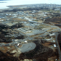
Quonset Point is a small peninsula in Narragansett Bay in the U.S. state of Rhode Island. It is contained entirely within the town of North Kingstown. Quonset Point was the location of Naval Air Station Quonset Point, a large United States Navy base.…

http://www.ricdigitalcommons.com/temp/5236.jpg
Manchester Street Power Station is located on 12 acres of land on Point Street in Providence. The Post-Modern 1990s addition was added by William D. Warner Architects & Planners. It produces enough electricity to power about 112,000 homes, using…

http://www.ricdigitalcommons.com/temp/5241.jpg
Seen here is an aerial view of Roger Williams Park which was named after the founder of Providence, Roger Williams. The park evolved from a 100 acre parcel that Betsy Williams gave to the city in 1871. Today the park is a 430 acre public park. The…

http://www.ricdigitalcommons.com/temp/5166.jpg
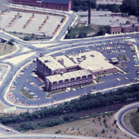
Designed by Py-Vavara Architects of Minneapolis, this photo shows the Marriott two years after completion.

http://www.ricdigitalcommons.com/temp/5206.jpg
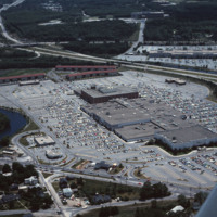
Rhode Island Mall (Midland Mall, 1967) was a once popular shopping center that now contains only a half-dozen open businesses. Warwick Mall opened five years after Midland Mall and a mile to its north. Composed of more than 1,000,000-square-foot…
http://www.ricdigitalcommons.com/temp/5164.jpg
Warwick Mall is an enclosed shopping mall in Warwick, Rhode Island, on the north side of Interstate 295 near the junction of Interstate 95. Composed of more than 1,000,000-square-foot (100,000 m2) of retail space, it features more than 70 stores and…
Output Formats

atom, dcmes-xml, json, omeka-xml, rss2