Browse Items (1954 total)
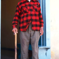
http://www.ricdigitalcommons.com/Baxter_temp/CV-85-015.jpg
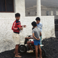
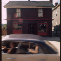
'Tchucalia', proper name unknown to me. A well known figure in Providence, RI who after many years retired to Sal Rei, the place of his birth, to enjoy his last years. This slide was taken approximately 2-3 years before his death. Every day he sat in…
Tags:

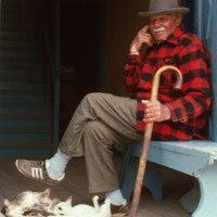
http://www.ricdigitalcommons.com/Baxter_temp/CV-85-014.jpg
'Tchucalia', proper name unknown to me. A well known figure in Providence, RI who after many years retired to Sal Rei, the place of his birth, to enjoy his last years. This slide was taken approximately 2-3 years before his death. Every day he sat in…

Tags: , ,

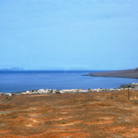
http://www.ricdigitalcommons.com/Baxter_temp/CV-81-225.jpg
Tarrafal is a city on the western coast of São Nicolau. This port town lies at the base of many barren, stony hills.

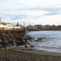
http://www.ricdigitalcommons.com/Baxter_temp/CV-81-233.jpg
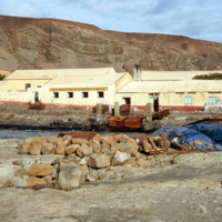
Pictured is the coastal town of Tarrafal nestled along the shoreline on the island of São Nicolau. The company SUCLA (Society of Overseas Canning) can be seen in the distance to the left.

http://www.ricdigitalcommons.com/Baxter_temp/CV-81-223.jpg
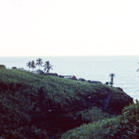
Looking north from Tarrafal, across the bay, with the mountainous northwestern corner of the island on the horizon. Tarrafal is the seat of Tarrafal de São Nicolau municipality and it's economy is largely based on local fishing industries.

http://www.ricdigitalcommons.com/Baxter_temp/CV-81-224.jpg
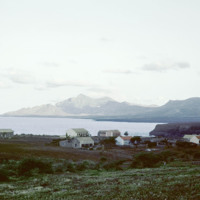
A view of Tarrafal from the São Nicolau highlands. Tarrafal is a coastal town and São Nicolau's second major town after Ribeira Brava.

http://www.ricdigitalcommons.com/temp/1149.jpg
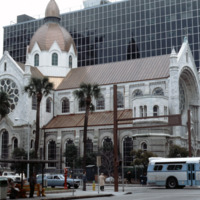
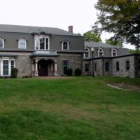
The Sacred Heart Catholic Church is one of the oldest churches in the city of Tampa, Florida. Originally deeded to be at Ashley Drive and Twiggs Street, the Sacred Heart Church was constructed in 1859 on North Florida Ave. With a growing parish, the…

http://www.ricdigitalcommons.com/Baxter_temp/CV-81-328.jpg
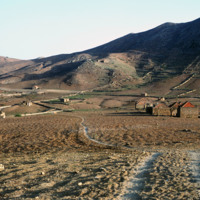
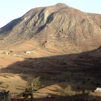
Photo of the dry, central tableland taken during an overland journey from Nova Sintra to Fajã d'Água.

http://www.ricdigitalcommons.com/Baxter_temp/CV-81-327.jpg
The try tableland of Brava was once green and lush, but a significant drought in the mid-twentieth century has c ontinued to effect the landscape and vegetation of the island. This photo was taken during a journey by aluguer from Nova Sintra to Fajã…

http://www.ricdigitalcommons.com/temp/0613.jpg
This photograph shows the town of Swindon in Wiltshire county. Since being named an Expander Town in 1952, Swindon has experienced significant growth, and the density of the residential neighborhoods is illustrated here. Smolski acknowledges this,…

http://www.ricdigitalcommons.com/Baxter_temp/CV-89-035.jpg
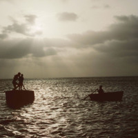
Boaters off shore from Maio are silhouetted against a sunset by Vila do Maio.

http://www.ricdigitalcommons.com/Baxter_temp/CV-81-232.jpg
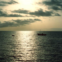
Looking west over Tarrafal Bay on São Nicolau. Fishing vessels can be seen on the bay. Tarrafal is the seat of Tarrafal de São Nicolau Municipality and it's economy is largely based on local fishing industries.

http://www.ricdigitalcommons.com/Baxter_temp/CV-81-003.jpg
Sunset photograph from the island of Sal, a flat, windy and barren island whose main economy and export is salt. This photograph is taken from near Amilcar Cabral International Airport. The airport was originally built by Mussolini as a refueling…

http://www.ricdigitalcommons.com/Baxter_temp/CV-85-007.jpg
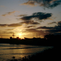
Here is the sunset looking out from Sal Rei with silhouettes of buildings and ships visible in the distance.

http://www.ricdigitalcommons.com/Baxter_temp/CV-81-309.jpg
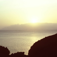
Sunset photographed from an unknown location on Fogo.

Tags:

http://www.ricdigitalcommons.com/Baxter_temp/CV-88-135.jpg
A typical Sunday at Calhau, a popular weekend vacation spot about 12 miles from Mindelo. Note that black volcanic pumice dominates the landscape.

http://www.ricdigitalcommons.com/Baxter_temp/CV-81-125.jpg
This is one of the sugar cane estate located on the lush landscape of Paùl. Water in this valley town flows in streams throughout the year providing the area with rich vegetation.

http://www.ricdigitalcommons.com/Baxter_temp/CV-81-235.jpg
Since 1935, the SUCLA company has been a family-oriented company that provides canned seafood to many areas of the world. The business was founded by the Preitas family and has grown to employ close to 200 people. The SUCLA company is the at the…

http://www.ricdigitalcommons.com/temp/0827.jpg
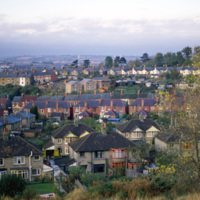
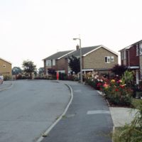
This photograph, taken in the English town of Tickhill, show’s late 20th century suburban developments in this wealthy twelfth century town. This small town has maintained it’s relatively small population, at the 2001 census it was home to 5,301…

student center.jpg
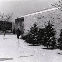
Image of a resource used in "Rhode Island College Campus Architecture and Named Places."

http://www.ricdigitalcommons.com/temp/5387.jpg
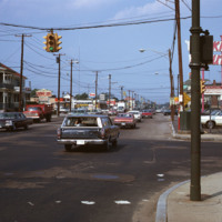
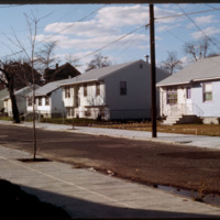
  Looking north at the intersection of Park Ave and Resevoir Ave in Cranston.  Here is visible evidence of the rapid growth, both residential and commercial, experienced by Cranston as Providence dwellers, fed up with deteriorating schools systems,…

http://www.ricdigitalcommons.com/temp/4847.jpg
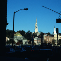
The First Baptist Church sandwiched between the Old Stone Bank and the Old Stone Corporation Building.

http://www.ricdigitalcommons.com/Baxter_temp/CV-81-140.jpg
A glimpse of the daily life in Ribeira de Paül. In dry areas, there are a few forms of livestock farming with small scale being the most common and widespread. Livestock farming is highly dependent on animal feed and accounts for a large portion of…

http://www.ricdigitalcommons.com/temp/4928.jpg
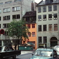
Example of a Copenhagen street scene, with a dairy shop on the far right and a wholesale agency next to it. The grey building on the far left belonged to the bicycle company Simonsen & Nielsen. The Danish movie director Jøneth Leth most likely filmed…

NTB-130-24-001.pdf
Booklet with account of Spiritualist practices around the world. Includes instructions for conducting a seance, as well as listing of different kinds of mediums. Medium specialties include: clairvoyant and test medium, physical manifestations,…

EHS.024.jpg
AB Community

http://www.ricdigitalcommons.com/Baxter_temp/CV-89-069.jpg
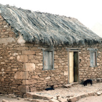
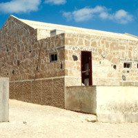
An example of a stone house with a thatched roof in the coastal village Calheta.

http://www.ricdigitalcommons.com/Baxter_temp/CV-81-129.jpg
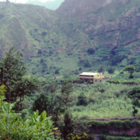
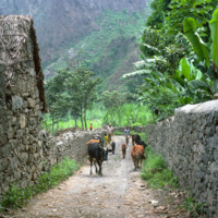
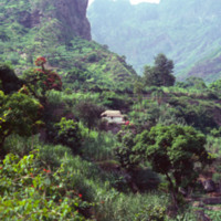
A traditional stone cottage nestled in the rising mountains. One of the resources of Cape Verde is stone. There are many abandoned stone cottages that exhibit beautiful traditional craftsmanship.The peaks rise behind the home.

http://www.ricdigitalcommons.com/Baxter_temp/CV-85-013.jpg
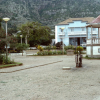
Sal Rei is the largest community in all of Boa Vista.

http://www.ricdigitalcommons.com/temp/1240.jpg
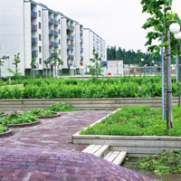
This photograph shows apartment buildings and urban gardens in Skärholmmen, a suburb in southern Stockholm. The apartments were mostly built in the late 1960s and early 1970s as part of the Million Program, a program that attempted to create one…

http://www.ricdigitalcommons.com/temp/0609.jpg
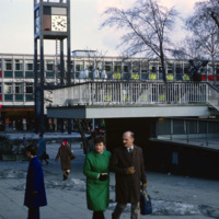
Town center in Stevenage photographed in 1969. Opened in 1959, this business area has at it’s focal point the clock tower, made well known by the 1967 British comedy “Here We Go Round the Mulberry Bush” and dedicated in memorial to Lewis Silkin,…

http://www.ricdigitalcommons.com/temp/0612.jpg
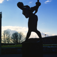
This bronze statue, entitled “Joyride” was made by Franta Belsky, who moved to England from Czechloslavakia in 1938. The modern statue, a mother playfully carrying her child, was unveiled in 1958 in the Stevenage Town Square. Stevenage is one of…

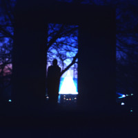
http://www.ricdigitalcommons.com/temp/5330.jpg
  Statue of Roger Williams at Prospect Terrace, photographed at night in the early 1970’s. The State House is seen glowing on the horizon. 

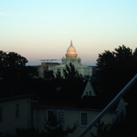
http://www.ricdigitalcommons.com/temp/5498.jpg
The Rhode Island State House seen from the Providence’s east side, likely Congdon St. It was constructed between 1895 and 1904 and has the fourth largest self supporting marble dome in the world. 

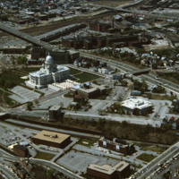
http://www.ricdigitalcommons.com/temp/5233.jpg
  In this aerial, the Rhode Island State House is seen. This magnificent building was designed by McKim, Mead and White between 1891 and 1902. This impressive building is located on Smith Street. William H. Jordy considers the State House to be “a…

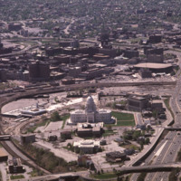
http://www.ricdigitalcommons.com/temp/5248.jpg
  This State House opened in 1901. The Rhode Island State House is the product of an elaborate competition. Its design came from McKim, Mead and White’s office contemporaneously with the firm’s Beaux-Arts classical work for the World’s Columbian…

JM-IAIRI-197XXXXX-70B.jpg
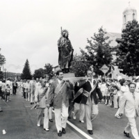
St. Rocco's Feast Day, typical of the processions and feast days celebrated in Italian-American communities in Rhode Island. St. Rocco's Chruch in Johnston was one of the earliest, most active, and fastest growing parishes in the state. It developed…

http://www.ricdigitalcommons.com/temp/1183.jpg
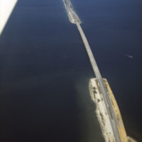
The Bob Graham Sunshine Skyway Bridge is 21,877 feet long (4.1 miles) and is considered part of I-275 and US 19. The bridge spans across Tamp Bay and connects St. Petersburg to Pinellas County in Manatee County Florida. Some parts of this bridge are…

http://www.ricdigitalcommons.com/temp/1192.jpg
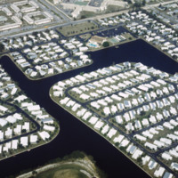
These housing developments, built on various water-ways through what can be an environmentally harmful dredging & filling process, can be found all over the coasts of St. Petersburg. Much of these neighborhoods were developed in the early 1950’s…

http://www.ricdigitalcommons.com/temp/1185.jpg
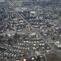
This is an aerial photograph of Saint Petersburg’s Meadowlawn Neighborhood. The land this neighborhood is built on was once a bog with woods and weeds as well as a place where cattle would come to graze from two local dairy farmers. Before it was…

http://www.ricdigitalcommons.com/temp/1178.jpg
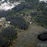
St. Petersburg and Pinellas County lies in what is called a “sinkhole alley.” The towns of Pasco, Hillsborough and Hernando, which leads the state in sinkhole claims, have all had issues concerning sinkholes developing on private property. Pictured…

http://www.ricdigitalcommons.com/temp/0811.jpg
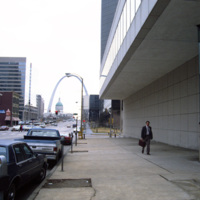
This photograph looks east on Market St. in St. Louis toward the Gateway Arch. The Gateway Arch was completed in 1965 and was built as a monument to western expansion in the United States. To the left is the Gateway Mall, an area of open space…

http://www.ricdigitalcommons.com/Baxter_temp/CV-81-324.jpg
Nova Sintra, a community of seven "praças" or squares because of the hilly terrain. Pictured here, one of the squares along with a well and some houses. Many of the streets in Nova Sintra are lined with hibiscus trees and during rainy years the…

http://www.ricdigitalcommons.com/temp/0732.jpg
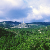
A landmark of of 20th century architecture, the Valley of the Fallen was constructed in memorial to those who fell in the Spainish Civil War. Francisco Franco wanted the monument to be built on a scale like that, “of the monuments of old, which defy…

http://www.ricdigitalcommons.com/temp/1173.jpg
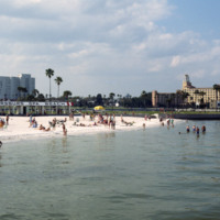
The Spa Beach in St. Petersburg, FL is open year round and is a popular beach for locals and tourists. The beach is also connected to the Spa Beach park seen in the foreground. The location of the beach and the need for more tourism dollars coming…

http://www.ricdigitalcommons.com/temp/5409.jpg
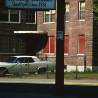
The Lower South Side (or Lower South Providence) is a neighborhood in southern Providence, Rhode Island. It is bounded from Upper South Providence by Public Street to the north, Interstate 95, to the south, and Broad Street, and the Providence River…

http://www.ricdigitalcommons.com/temp/5379.jpg
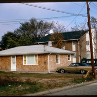
An example of HUD Section 235 housing in South Providence. The HUD Section 235 program was developed to aid lower income families by use of mortgage subsidy payments. The neighborhood has traditionally been home to low-income families and immigrant…

http://www.ricdigitalcommons.com/temp/5410.jpg
  The former Roger Williams Homes public housing project was mostly demolished in the 1980’s after decades of neglect.  This particular section was redeveloped in the early 2000’s as the William B. Cooley Health and Science Technology High School.

http://www.ricdigitalcommons.com/temp/5390.jpg
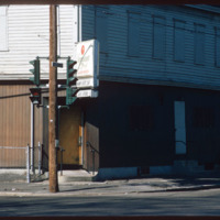
A bar in South Providence. Identified as Manny Peter’s Cafe, it was located on the corner of Prairie and Thurbers Ave. and has since been demolished. Since the 1950s the the Lower South Side has seen considerable decline due in part to the…
Output Formats

atom, dcmes-xml, json, omeka-xml, rss2