Browse Items (993 total)

  • Collection: Chester Smolski Photographs

http://www.ricdigitalcommons.com/temp/0720.jpg
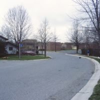
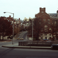
Columbia was creator James Rouse’s greatest accomplishment, and an experiment with not just a planned community, but a planned city. The city was ‘opened’ in 1967. It is a city made of ten self contained villages. This 1983 photograph shows Bryant…

http://www.ricdigitalcommons.com/temp/0717.jpg
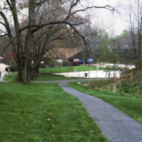
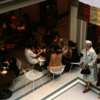
Columbia is a planned community made of ten individual villages. The community makes use of walkways to connect homes and parks, shopping centers, but also has a regular street system for motor vehicles. This pool, part of 23 outdoor pools in…

http://www.ricdigitalcommons.com/temp/4861.jpg
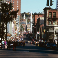
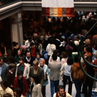
A street celebration on Washington St, in honor of Columbus Day. As of 2015, Washington St. is home to the popular music venue Lupo's Heartbreak of Hotel, the historical Providence Public Library, the Trinity Repertory Company, and the University of…

http://www.ricdigitalcommons.com/temp/4938.jpg
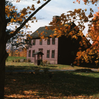
A historical saltbox house in Litchfield, Connecticut. The saltbox style is a Colonial design that originated in New England in around 1650. They are characterized by having two stories in the front of the house and only one in the back, with a small…
http://www.ricdigitalcommons.com/temp/5210.jpg
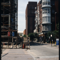
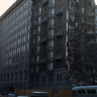
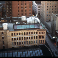
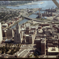
This building was built for investment income as a wedding present for Jerothmul B. Barnaby’s daughter and his son-in-law, after whom it is named. The tower feature on this downtown building is also employed in Nickerson’s Carr House built in 1885.…

http://www.ricdigitalcommons.com/temp/1291.jpg
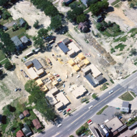
Aerial view of Madison Triangle shows a detail of construction of public housing in the 1960s. Previously the neighborhood had been known as Greenbush, and Italian neighborhood.

http://www.ricdigitalcommons.com/temp/4892.jpg
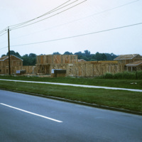
In 1954, William Levitt of Levitt & Sons, a leading residential firm, began purchasing property in Willingboro with the objective of building a residential community with few jobs and little commercial property so that the town's survival largely…

http://www.ricdigitalcommons.com/temp/5153.jpg
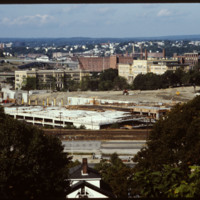
In 1986 Providence Station was completed. It replaced the 1898 Union Station as part of a redevelopment project to free up land from a mass of train tracks that had hemmed in downtown Providence. It is much smaller than its predecessor, reflecting…

http://www.ricdigitalcommons.com/temp/5159.jpg
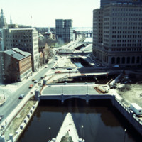
This photo shows work in progress in relocating Suicide Circle and uncovering and re-channeling the Mosshasuck and Woonasquatucket RIvers. Newly constructed Washington Street Bridge is in the foreground, but the old Fulton Street entrance to Suicide…

http://www.ricdigitalcommons.com/temp/4792.jpg
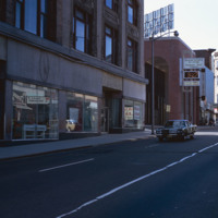
Weybosset street pictured in the late 1970s.
See also slide #4802 - Weybosset St: Loew's Theatre (PPAC) and Beneficent Church.

http://www.ricdigitalcommons.com/temp/4911.jpg
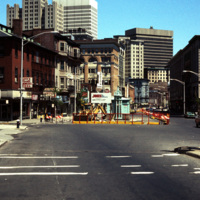
Street construction taking place on Weybosset St. in the late 1970s.

Weybosset St. is a part of the cultural core that is downtown Providence, connecting to Westminster St. and Empire St., Weybosset is home to the Providence Performing Arts Center…

http://www.ricdigitalcommons.com/temp/5031.jpg
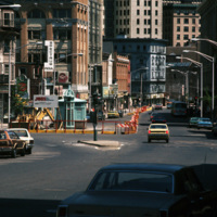
Street construction taking place on Weybosset St. in the late 1970s.

Weybosset St. is a part of the cultural core that is downtown Providence, connecting to Westminster St. and Empire St. on opposing corners. As of 2015, Weybosset is home to the…

http://www.ricdigitalcommons.com/temp/4935.jpg
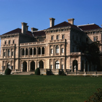
The Cornelius Vanderbilt II House was designed by Richard Morris Hunt in 1895 after its destruction in a fire in 1892. This home was originally a wood-frame house named The Breakers designed by Peabody and Stearns in 1877 and owned by Pierre…

http://www.ricdigitalcommons.com/temp/5029.jpg
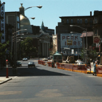
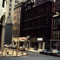
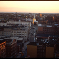
Downtown Providence, on the corner of Weybosset St and Westminster St.
Pictured on the left is the Turk's Head Building with some minor street construction in front of it. The Turk's Head Building was constructed in 1913 by the Brown Land Co. At…
http://www.ricdigitalcommons.com/temp/0729.jpg
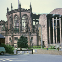
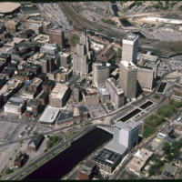
This 1968 photograph shows the recently completed modern Coventry Cathedral beside the ruins of the Medieval Parish Church Cathedral of St. Michael, commonly referred to as the Old Coventry Cathedral. The old cathedral was heavily damaged in 1940 by…

http://www.ricdigitalcommons.com/temp/5242.jpg
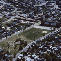
  In this aerial, the Cranston Street Armory can be seen. This building and land parcel was passed on to the city of Providence by Ebenezar Knight Dexter. This area is located off Cranston St. and between Dexter St. and Parade St. This brick and…

http://www.ricdigitalcommons.com/temp/4805.jpg
The intersection of College St and Memorial Blvd in Downtown Providence in 1979. The image was taken to highlight the Crawford St Bridge which was built in 1873, rebuilt in 1930, and later listed as the world's widest bridge in the 1988 Guinness Book…

http://www.ricdigitalcommons.com/temp/5033.jpg
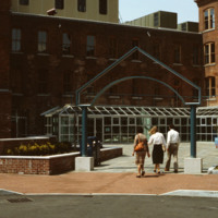
Home to the Davol Rubber Co. from 1884 until 1977, the Davol Square complex was rehabilitated and reopened for mixed retail and office use in 1982, with shops, offices, and restaurants. However, despite high occupancy and easy highway access, the…

http://www.ricdigitalcommons.com/temp/5034.jpg
Home to the Davol Rubber Co. from 1884 until 1977, the Davol Square complex was rehabilitated and reopened for mixed retail and office use in 1982, with shops, offices, and restaurants. However, despite high occupancy and easy highway access, the…

http://www.ricdigitalcommons.com/temp/5209.jpg
Home to the Davol Rubber Co. from 1884 until 1977, the complex were rehabilitated and reopened for mixed retail and office use in 1982. However, despite high occupancy and easy highway access, the shops slowly disappeared and the mall closed down in…

http://www.ricdigitalcommons.com/temp/5208.jpg
Home to the Davol Rubber Co. from 1884 until 1977, the complex were rehabilitated and reopened for mixed retail and office use in 1982. However, despite high occupancy and easy highway access, the shops slowly disappeared and the mall closed down in…

http://www.ricdigitalcommons.com/temp/5148.jpg
Home to the Davol Rubber Co. from 1884 until 1977, the complex were rehabilitated and reopened for mixed retail and office use in 1982. However, despite high occupancy and easy highway access, the shops slowly disappeared and the mall closed down in…

http://www.ricdigitalcommons.com/temp/1023.jpg
This photograph shows a marker en route to the dead sea which indicates ‘sea level.’ The Dead Sea is approximately 400 meters below sea level.

http://www.ricdigitalcommons.com/temp/1253.jpg
The Delaware Memorial Bridge was built in two spans. The first, completed in 1951, is on the left in this photograph, is now used to carry New Jersey bound traffic on Interstate Highway 295. Originally it carried traffic in both directions, but…

http://www.ricdigitalcommons.com/temp/0460.jpg
Washington D.C. began a plan to revitalize the city shortly after World War II. The rapid population growth following the war inspired a suburban sprawl into the surrounding areas of Maryland and Virginia. As buildings in downtown D.C. fell to…

http://www.ricdigitalcommons.com/temp/5044.jpg
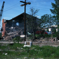
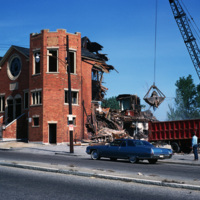
The Randall Square synagogue was demolished as part of a large land clearing in order to make room for light manufacturing, commercial development and the Marriott Hotel.
http://www.ricdigitalcommons.com/temp/5053.jpg
The Randall Square synagogue was demolished as part of a large land clearing in order to make room for light manufacturing, commercial development, and the Marriott Hotel.

1214.jpg
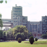
Chet Smolski describes this building as a science research building of the 1920s. This building is part of Karazin Kharkov National University. The park from which the photo was taken is called Svobody Square or Freedom Square. The building is a…

http://www.ricdigitalcommons.com/temp/1116.jpg
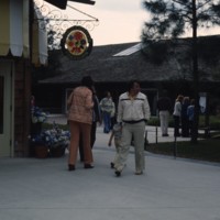
Pictured is the retail store, Miss Merrily’s Fashions, one of the many shops in the Disney World Village. Upon the shopping center’s opening in 1975, the area was originally called Lake Buena Vista Village. Filled with a various spectrum of retail…

http://www.ricdigitalcommons.com/temp/1101.jpg
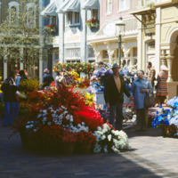
Main Street USA is a themed land at Magic Kingdom styled parks run by The Walt Disney Company. This photograph shows the Magic Kingdom at Disney World, Florida. Main Street USA mixes architectural styles from around the United States at the turn of…

http://www.ricdigitalcommons.com/temp/1229.jpg
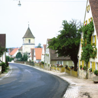
Dornhausen is a municipality in Bovaria, Germany. This 1969 photograph shows the church on main road 13. This small village had a population of 232 in a 2010 census. Notable in this 1969 photograph are the flower beds lining the road, which were…

http://www.ricdigitalcommons.com/temp/5171.jpg
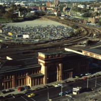
Union Railroad Depot, by Thomas A. Tefft, was opened in 1847. It was considered "a brilliant example of Romanesque architecture" in its time, and the longest building in America. As the city continued to grow, so too did the need for terminal space,…

http://www.ricdigitalcommons.com/temp/5450.jpg
  Main St. in Pawtucket circa 1971, Smolski documents closed businesses and redevelopment in the downtown area. The building at the left has since been converted into a parking garage and small shops lining Main St.

http://www.ricdigitalcommons.com/temp/5139.jpg
Aerial view looking west by southwest. I-95 junction with I-195. In the 2000s I-195 was relocated to the south to allow for development and to correct safety issues and that were the result of poor planning. The Providence Civic Center (Dunkin Donuts…

http://www.ricdigitalcommons.com/temp/5221.jpg
The Biltmore Hotel can be seen in the lower right of the image as well as Kennedy Plaza in the foreground. The Biltmore originally opened in 1922. It was closed in 1975 and reopened in 1979. Towards the center of the photo is the Financial District…

http://www.ricdigitalcommons.com/temp/5229.jpg
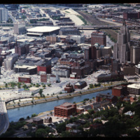
  Here is an aerial view of Downtown Providence. Providence is among America’s oldest cities and has been rebuilt many times. Providence has been one of Rhode Island’s strongest economic ports along with Newport. The city was founded by Roger…

http://www.ricdigitalcommons.com/temp/5147.jpg
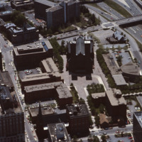
Designed by I.M. Pei and Zion & Breen, Cathedral Plaza was intended to be a marvelous piazza as the forecourt for one of Providence’s most monumental and important churches, the Cathedral of Saints Peter and Paul. (date of photograph is…

http://www.ricdigitalcommons.com/temp/4863.jpg
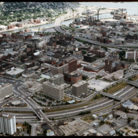
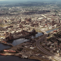
Downtown Providence from above, looking west across the Providence River into the cityscape. This 1976 view shows how Interstate 195 used to divide the city and occupy crucial downtown real estate. It was relocated in the 2000s to follow a more…

http://www.ricdigitalcommons.com/temp/5117.jpg
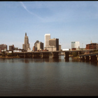
The Point Street Bridge (1927) spans the Providence River connecting Wickenden Street with Davol Place. The downtown Financial District is seen behind to the north.

http://www.ricdigitalcommons.com/temp/4844.jpg
The Lauderdale building was designed by Stone, Carpenter & Willson and constructed in 1894. The design received national attention when it published June 30, 1894 in American Architect and Building News, which made mention of it's "fireproof"…

http://www.ricdigitalcommons.com/temp/4865.jpg
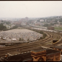
This 1970s view of Providence shows how the former route of Interstate 195, along with the railroad yard behind Union Station, isolated downtown Providence from the surrounding neighborhoods.

http://www.ricdigitalcommons.com/temp/5114.jpg
Prior to the construction of Waterplace Park railroad tracks and parking lots separated the different districts of downtown Providence. This barrier was locally referred to as a, "Chinese wall." This 1977 view shows Providence before its dramatic…

http://www.ricdigitalcommons.com/temp/4845.jpg
A west facing aerial view of Weybosset St.

http://www.ricdigitalcommons.com/temp/4971.jpg
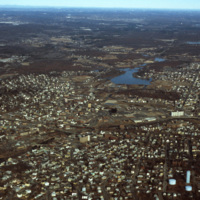
Downtown Woonsocket in 1979, featuring a view of Harris Pond and the Blackstone River. The Oak Hill Cemetery and the World War II Veterans Memorial Park can also be seen from the photo. Around the time this photo was taken, Woonsocket became the host…

http://www.ricdigitalcommons.com/temp/4878.jpg
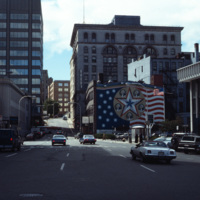
Foster St. in downtown Worcester, Massachusetts photographed in 1979. The mural to the right was painted by Sante Graziani (1920-2005), who was the head of the School at the Worcester Art Museum from 1951-1972 and its dean from 1972-1981. The mural…

http://www.ricdigitalcommons.com/temp/1279.jpg
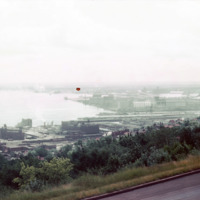
View of Superior Bay and Duluth likely taken at Enger Park or Enger Tower. Enger Tower is observation tower in Duluth that is made of blue stone and was dedicated in 1939 by Crown Prince Olav and Crown Princess Martha of Norway. Superior Bay is a…

http://www.ricdigitalcommons.com/temp/1277.jpg
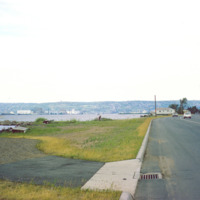
Duluth is a port city that is a hub for various regional commodities, including ore and agricultural products. This photograph shows a road on the shore of Lake Superior and looks toward Duluth.

http://www.ricdigitalcommons.com/temp/1275.jpg
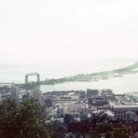
Skyline Parkway offers a bird’s eye view of the port city of Duluth. In this photograph, made in 1964, Duluth’s Aerial Life Bridge is visible, a landmark of the city. The construction of the Duluth Ship Canal in the late 19th century made it…

http://www.ricdigitalcommons.com/temp/1278.jpg
An overcast view of Minnesota taken from Minnesota Point, looking north. Minnesota Point, at seven miles long, creates Superior Bay which is a hub of commerce for both Duluth, Minnesota and Superior, Wisconsin.

http://www.ricdigitalcommons.com/temp/1276.jpg
Rail yard at Rices Point, on the shore of Lake Superior. The yard was owned by Northwestern Pacific Railroad (NP) at the time of this photograph (1964). The Blatnik Bridge, an automobile bridge, was completed in 1961 and carried auto traffic between…
Output Formats

atom, dcmes-xml, json, omeka-xml, rss2