Browse Items (993 total)

  • Collection: Chester Smolski Photographs

http://www.ricdigitalcommons.com/temp/4981.jpg
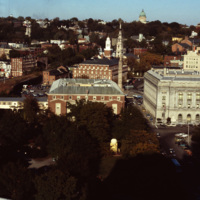
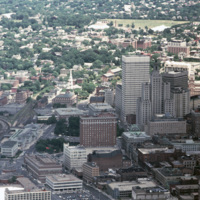
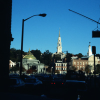
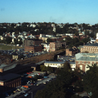
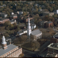
This shot overlooks the residential hills of East Providence as well as College Hill. In the middle, one can see the tower of the First Baptist Church -- to the right, the green dome of the First Church of Christ, Scientist on the horizon.

http://www.ricdigitalcommons.com/temp/4979.jpg
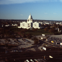
The Rhode Island State House was built in 1904, designed by McKim, Mead & White. The building's self-supporting marble dome is the fourth-largest of its kind in the world, following after only the Taj Mahal, St. Peter's Basilica, and the Minnesota…

4978.jpg
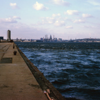
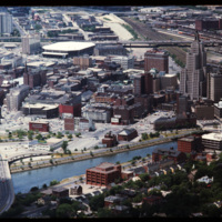
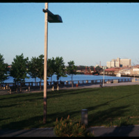
A view of downtown Providence from the city pier, across the Providence River.

http://www.ricdigitalcommons.com/temp/4977.jpg
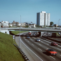
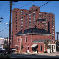
A view of the (then called) Bradford House from Interstate 95 in Providence. Completed in 1966, the building is one of several high-rise towers that was built around the city for elderly residents. As of 2015, the building is known as the Sister…

http://www.ricdigitalcommons.com/temp/4970.jpg
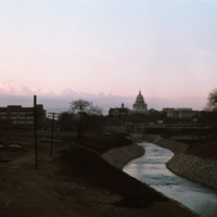
The Moshassuck River in Providence near the Rhode Island State House.

http://www.ricdigitalcommons.com/temp/4969.jpg
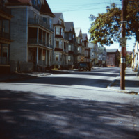
"Ubiquitous triple-deckers," in Providence, as noted by Professor Smolski. This area of South Providence was identified as a "blighted" neighborhood in the 1970s, and much of it, including the neighborhood in this image, has since been demolished and…

http://www.ricdigitalcommons.com/temp/4911.jpg
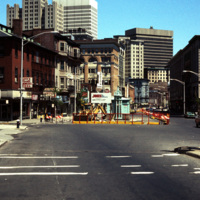
Street construction taking place on Weybosset St. in the late 1970s.

Weybosset St. is a part of the cultural core that is downtown Providence, connecting to Westminster St. and Empire St., Weybosset is home to the Providence Performing Arts Center…

http://www.ricdigitalcommons.com/temp/4910.jpg
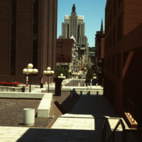
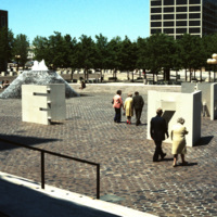
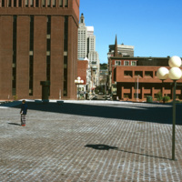
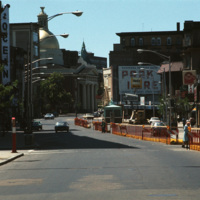
Cathedral Square was designed by I.M. Pei and Zion & Breen in 1969. It was intended to become a popular plaza but nothing more was added to the space and so it remained empty, supplying only sitting room for pedestrians.

http://www.ricdigitalcommons.com/temp/4909.jpg
Several sculptures on Cathedral Square. This square was designed by I.M. Pei and Zion & Breen in 1969. It was intended to become a popular plaza but nothing more was added to the space and so it remained empty.

http://www.ricdigitalcommons.com/temp/4907.jpg
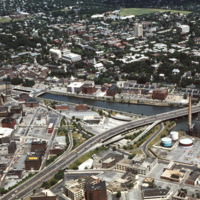
The Providence River separates the Downtown and East Side neighborhoods of Providence. The East Side is home to Brown University, and Rhode Island School of Design. Roger Williams founded Providence along College Hill, thus the East Side contains…

http://www.ricdigitalcommons.com/temp/4906.jpg
The Providence River separates the Downtown and East Side neighborhoods of Providence. The East Side is home to Brown University, and Rhode Island School of Design. Roger Williams founded Providence along College Hill, thus the East Side contains…

http://www.ricdigitalcommons.com/temp/4905.jpg
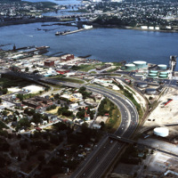
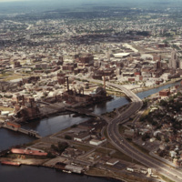
The northernmost points of Narragansett Bay, where it is fed by the Providence and Seekonk Rivers. The Port of Providence and Interstate 95 are in the foreground of the photograph. The construction of Interstate 95 effectively segregated Providence…

http://www.ricdigitalcommons.com/temp/4903.jpg
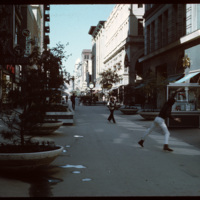
In the early 1960s this section of Westminster street was closed to vehicular traffic and became a pedestrian mall. Pictured here in 1970, a game of Frisbee takes place while shoppers traverse closer to the buildings. In 1986 the street was opened…

http://www.ricdigitalcommons.com/temp/4865.jpg
This 1970s view of Providence shows how the former route of Interstate 195, along with the railroad yard behind Union Station, isolated downtown Providence from the surrounding neighborhoods.

http://www.ricdigitalcommons.com/temp/4863.jpg
Downtown Providence from above, looking west across the Providence River into the cityscape. This 1976 view shows how Interstate 195 used to divide the city and occupy crucial downtown real estate. It was relocated in the 2000s to follow a more…

http://www.ricdigitalcommons.com/temp/4861.jpg
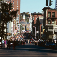
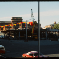
A street celebration on Washington St, in honor of Columbus Day. As of 2015, Washington St. is home to the popular music venue Lupo's Heartbreak of Hotel, the historical Providence Public Library, the Trinity Repertory Company, and the University of…

http://www.ricdigitalcommons.com/temp/4859.jpg
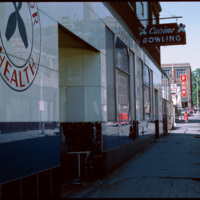
From 1927 to 1928, the building at 180 Pine Street was occupied by Boston Radiator/Rock and Englebrook Bowling. The building is a large, two story, flat-roofed, brick and concrete building that once had a simple parapet covering its facade. From 1929…

http://www.ricdigitalcommons.com/temp/4857.jpg
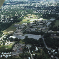
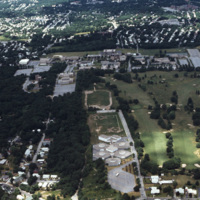
An aerial shot overlooking the Rhode Island College campus on Mount Pleasant Avenue in North Providence as well as its surroundings, such as the Triggs Memorial Golf Course and Pleasant View School. The college campus moved to this particular spot in…

http://www.ricdigitalcommons.com/temp/4856.jpg
An aerial shot overlooking the Rhode Island College campus on Mount Pleasant Avenue in Providence as well as its surroundings, such as the Triggs Memorial Golf Course and Pleasant View School. The college campus moved to this particular spot in 1958,…

http://www.ricdigitalcommons.com/temp/4854.jpg
India Point Park is located in Fox Point, a Providence neighborhood, at the junction of the Seekonk River and Providence River. The area that became India Point Park had previously been developed wharves, ships' provisioners, and light industrial…

http://www.ricdigitalcommons.com/temp/4852.jpg
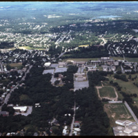
An aerial shot overlooking the Rhode Island College campus on Mount Pleasant Avenue in North Providence as well as its surroundings, such as the Triggs Memorial Golf Course and Pleasant View School. The college campus moved to this particular spot in…

http://www.ricdigitalcommons.com/temp/4850.jpg
Intended to be a marvelous plaza inspired by European models, Cathedral Square is considered a problematic and failure of a space. E.F. Kennedy's Roman Catholic Chancery Office and auditorium (1966-67) blocks the axis of Westmister Street and is a…

http://www.ricdigitalcommons.com/temp/4849.jpg
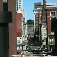
A compressed view of Westminster Street in 1974 taken from I. M. Pei's Cathedral Square. In 1964 Westminster Street was closed to vehicular traffic between Dorrance Street and Snow Street. The move was an attempt to compete with suburban malls.…

http://www.ricdigitalcommons.com/temp/4847.jpg
The First Baptist Church sandwiched between the Old Stone Bank and the Old Stone Corporation Building.

http://www.ricdigitalcommons.com/temp/4846.jpg
In the foreground are Union Station, Burnside Park and the Federal Building Annex. This view gives a sense of the separation that existed between downtown and the Capital Center prior to redevelopment in the 1980s and 1990s. On the right, the…

http://www.ricdigitalcommons.com/temp/4845.jpg
A west facing aerial view of Weybosset St.

http://www.ricdigitalcommons.com/temp/4844.jpg
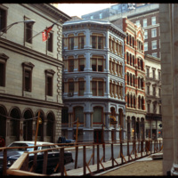
The Lauderdale building was designed by Stone, Carpenter & Willson and constructed in 1894. The design received national attention when it published June 30, 1894 in American Architect and Building News, which made mention of it's "fireproof"…

http://www.ricdigitalcommons.com/temp/4841.jpg
The Joseph and William Russell House was a once-handsome and sophisticated dwelling in the late Georgian Style, and is the earliest remaining example of the kind of three story, cubicle brick houses that were built to symbolize in 18th century…

http://www.ricdigitalcommons.com/temp/4808.jpg
The Federal Building (left) was completed in 1857 in the format of an Italianate Renaissance palace. Though not visible, the building is capped by an iron-cast dome that was conceived after construction on the building began. The intent of the dome…

http://www.ricdigitalcommons.com/temp/4806.jpg
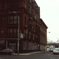
The Exchange Bank Building, pictured here in 1979, is a commercial building in the Queen Anne style. The brick building featured granite trim typical of commercial buildings, and was rehabilitated as part of the Fleet Center complex in the 1980's.

http://www.ricdigitalcommons.com/temp/4805.jpg
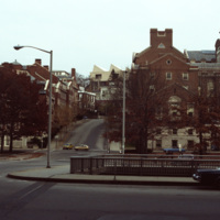
The intersection of College St and Memorial Blvd in Downtown Providence in 1979. The image was taken to highlight the Crawford St Bridge which was built in 1873, rebuilt in 1930, and later listed as the world's widest bridge in the 1988 Guinness Book…

http://www.ricdigitalcommons.com/temp/4804.jpg
Chad Brown is a public housing complex in Wanskuck neighborhood that was built in 1951 but remodeled and renovated between 1986 and 1989.

http://www.ricdigitalcommons.com/temp/4802.jpg
Weybosset St. in Providence featuring Loew's Theater and the Beneficent Congregational Church. Loew's was threatened with demolition in 1977 and it was saved by a consortium of local businesses, foundations and government agencies. In 1978, the…

http://www.ricdigitalcommons.com/temp/4800.jpg
Aerial image of Roger Williams University and the Mount Hope Bridge in Bristol, Rhode Island. The Mount Hope Bridge was constructed between 1927 and 1929. In 1956, the college purchased this waterfront land just north of the bridge in Bristol and…

http://www.ricdigitalcommons.com/temp/4799.jpg
Aerial image of Roger Williams University in Bristol, Rhode Island when the school was still called Roger Williams College. In 1956 the college purchased this waterfront land in Bristol and became a two-year institution named Roger Williams Junior…
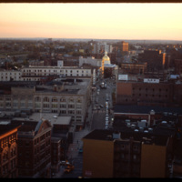
http://www.ricdigitalcommons.com/temp/4794.jpg
The Providence National Bank building with the Industrial Trust building towering up from behind. The Providence National Bank, completed in 1930, was demolished in 2005 to make room for a luxury condo. Plans for that building were ultimately…

http://www.ricdigitalcommons.com/temp/4793.jpg
The Providence National Bank in 1979. Construction of the bank was completed in 1930. Much of the building was demolished in 2005 to make room for a luxury condo dubbed, 'One Ten Westminster.' The project ultimately was scrapped and now only the…

http://www.ricdigitalcommons.com/temp/4792.jpg
Weybosset street pictured in the late 1970s.
See also slide #4802 - Weybosset St: Loew's Theatre (PPAC) and Beneficent Church.

http://www.ricdigitalcommons.com/temp/4791.jpg
The Charlesgate apartment complex in Providence. The complex is now known as the Charlesgate Nursing Center. The Firehouse Greenery, which no longer exists, is also featured in the photo.

http://www.ricdigitalcommons.com/temp/4787.jpg
This photo was taken in 1979 and shows the deconstruction of a parking garage in front of Union Station on Exchange Terrace. Union Station was designed by Stone, Carpenter, and Willson in 1893 and constructed three years later by the New York, New…

http://www.ricdigitalcommons.com/temp/5447.jpg
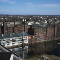
Central Falls Mill Complex in 1971. Now titled The Central Falls Mill Historic District, the complex includes a collection of six mill buildings that display pre- to post- Civil War construction examples and a stone dam that impounds the Blackstone…

http://www.ricdigitalcommons.com/temp/5226.jpg
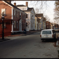
Historic houses on northern Benefit Street. Benefit Street runs north to south of the community’s 18th century center at Market Square. in the late 1950s, many of the houses on this street were about to be torn down but were saved, thanks to the…

http://www.ricdigitalcommons.com/temp/5227.jpg
The First Baptist Church in America has been on College Hill in downtown Providence since 1638. The church was founded by Roger Williams in 1638. The building that stands today on North Main Street was built between 1774 and 1775. John and Joseph…

http://www.ricdigitalcommons.com/temp/5232.jpg
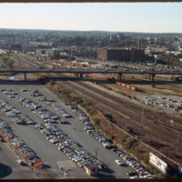
Looking west from downtown Providence, Interstate 95 runs across center frame. Parking lot in foreground is now the location of the Rhode Island Convention Center (1994) and the Westin Hotel and Residences (1993, 2007). The impressive structure at…
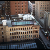
http://www.ricdigitalcommons.com/temp/5377.jpg
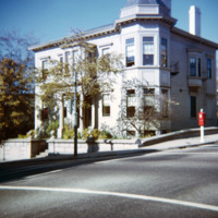
The former home of John Barstow at 60 Waterman Street in the College Hill neighborhood. The East Side is also home to Brown University, the Rhode Island School of Design, and several historic homes and buildings.
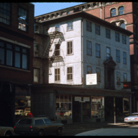
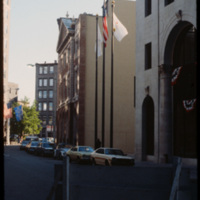
John Barstow (1791-1861) was a…

http://www.ricdigitalcommons.com/temp/5542.jpg
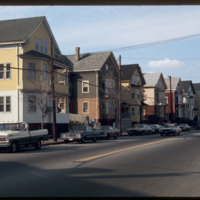
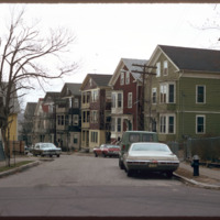
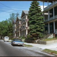
Triple-deckers photographed on Douglas Ave.  This photograph illustrates the architectural variety in the triple-decker style.  Most were intended for lower-income families and provided only rudimentary quarters.  These proliferated on the side of…
http://www.ricdigitalcommons.com/temp/5429.jpg
  Triple deckers photographed in the Mount Hope neighborhood of Providence.  During the later nineteenth century the Mount Hope neighborhood experienced rapid growth due to industrial activity along the nearby Moshasshuck River. Street car lines…

http://www.ricdigitalcommons.com/temp/5428.jpg
  The triple decker, a house accommodating three units, emerged as a distinct form as early as the 1890s.  Primarily a tenement, they are common throughout urban areas in southern New England.  These triple deckers on Eaton St. were likely demolished…

http://www.ricdigitalcommons.com/temp/5500.jpg
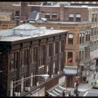
Washington Street and the corner of Mathewson Street, photographed in 1978. The Shepard Building, pictured at the left, was home to the Shepard Department store. At its height the company occupied surrounding buildings, expanding to cover two-blocks.…

http://www.ricdigitalcommons.com/temp/5433.jpg
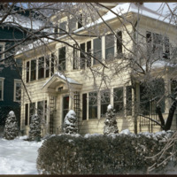
  A single family home in the Blackstone neighborhood on Providence’s East Side, photographed during the winter of 1974. The East Side is the oldest, and most affluent section of Providence, containing some of the states earliest settlements. 
Output Formats

atom, dcmes-xml, json, omeka-xml, rss2