Browse Items (1954 total)

http://www.ricdigitalcommons.com/Baxter_temp/CV-88-152.jpg
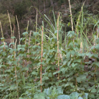
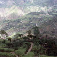
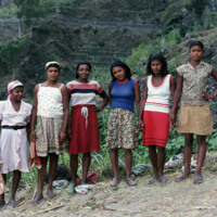
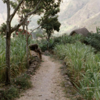
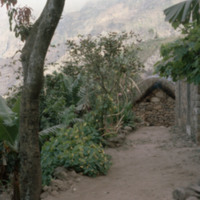
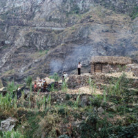
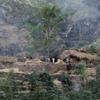
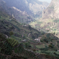
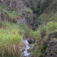
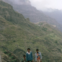
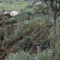
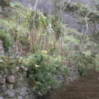
For the adventurous visitor, one can descend from Cova via the Ribeira de Paúl to Paúl. This is a breathtaking journey requiring about 3-4 hours, depending upon how well one's calf muscles hold out, and how many mini-stops for "grogue" one makes. The…

http://www.ricdigitalcommons.com/Baxter_temp/CV-88-153.jpg
For the adventurous visitor, one can descend from Cova via the Ribeira de Paúl to Paúl. This is a breathtaking journey requiring about 3-4 hours, depending upon how well one's calf muscles hold out, and how many mini-stops for "grogue" one makes. The…

http://www.ricdigitalcommons.com/Baxter_temp/CV-88-154.jpg
For the adventurous visitor, one can descend from Cova via the Ribeira de Paúl to Paúl. This is a breathtaking journey requiring about 3-4 hours, depending upon how well one's calf muscles hold out, and how many mini-stops for "grogue" one makes. The…

http://www.ricdigitalcommons.com/Baxter_temp/CV-88-155.jpg
For the adventurous visitor, one can descend from Cova via the Ribeira de Paúl to Paúl. This is a breathtaking journey requiring about 3-4 hours, depending upon how well one's calf muscles hold out, and how many mini-stops for "grogue" one makes. The…

http://www.ricdigitalcommons.com/Baxter_temp/CV-88-156.jpg
For the adventurous visitor, one can descend from Cova via the Ribeira de Paúl to Paúl. This is a breathtaking journey requiring about 3-4 hours, depending upon how well one's calf muscles hold out, and how many mini-stops for "grogue" one makes. The…

http://www.ricdigitalcommons.com/Baxter_temp/CV-88-157.jpg
For the adventurous visitor, one can descend from Cova via the Ribeira de Paúl to Paúl. This is a breathtaking journey requiring about 3-4 hours, depending upon how well one's calf muscles hold out, and how many mini-stops for "grogue" one makes. The…

http://www.ricdigitalcommons.com/Baxter_temp/CV-88-158.jpg
For the adventurous visitor, one can descend from Cova via the Ribeira de Paúl to Paúl. This is a breathtaking journey requiring about 3-4 hours, depending upon how well one's calf muscles hold out, and how many mini-stops for "grogue" one makes. The…

http://www.ricdigitalcommons.com/Baxter_temp/CV-88-159.jpg
For the adventurous visitor, one can descend from Cova via the Ribeira de Paúl to Paúl. This is a breathtaking journey requiring about 3-4 hours, depending upon how well one's calf muscles hold out, and how many mini-stops for "grogue" one makes. The…

http://www.ricdigitalcommons.com/Baxter_temp/CV-88-160.jpg
For the adventurous visitor, one can descend from Cova via the Ribeira de Paúl to Paúl. This is a breathtaking journey requiring about 3-4 hours, depending upon how well one's calf muscles hold out, and how many mini-stops for "grogue" one makes. The…

http://www.ricdigitalcommons.com/Baxter_temp/CV-88-161.jpg
For the adventurous visitor, one can descend from Cova via the Ribeira de Paúl to Paúl. This is a breathtaking journey requiring about 3-4 hours, depending upon how well one's calf muscles hold out, and how many mini-stops for "grogue" one makes. The…

http://www.ricdigitalcommons.com/Baxter_temp/CV-88-162.jpg
For the adventurous visitor, one can descend from Cova via the Ribeira de Paúl to Paúl. This is a breathtaking journey requiring about 3-4 hours, depending upon how well one's calf muscles hold out, and how many mini-stops for "grogue" one makes. The…

http://www.ricdigitalcommons.com/Baxter_temp/CV-88-163.jpg
For the adventurous visitor, one can descend from Cova via the Ribeira de Paúl to Paúl. This is a breathtaking journey requiring about 3-4 hours, depending upon how well one's calf muscles hold out, and how many mini-stops for "grogue" one makes. The…

http://www.ricdigitalcommons.com/Baxter_temp/CV-88-164.jpg
For the adventurous visitor, one can descend from Cova via the Ribeira de Paúl to Paúl. This is a breathtaking journey requiring about 3-4 hours, depending upon how well one's calf muscles hold out, and how many mini-stops for "grogue" one makes. The…

http://www.ricdigitalcommons.com/Baxter_temp/CV-81-185.jpg
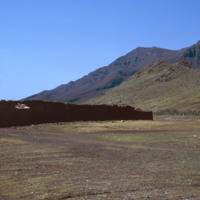
A dilapidated stone structure set in the flatlands near mountains. The structure is adjacent to the airport in Rio Brava. The more modern stone structures represent the artistry and handiwork of the craftsmen who built them.

JM-IAIRI-192XXXXX-39.jpg
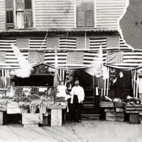
This is the original DiMeglio grocery store c. 1900, before it was moved to 276 Atwells Avenue in Providence. Shown in the photograph are Raphael DiMeglio, his wife, Rosina (Regine) DiMeglio, and their daughter Lillian.

http://www.ricdigitalcommons.com/Baxter_temp/CV-89-007.jpg
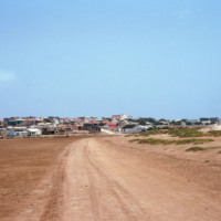
Vila do Maio photographed from a dirt road that connects the village to a nearby beach. This view shows how this village, which lies on a steep but small hill, rises dramatically from the shoreline. At the center of the village is a 19th century…

http://www.ricdigitalcommons.com/Baxter_temp/CV-89-008.jpg
Vila do Maio photographed from a dirt road that connects the village to a nearby beach. This view shows how this village, which lies on a steep but small hill, rises dramatically from the shoreline. At the center of the village is a 19th century…

http://www.ricdigitalcommons.com/Baxter_temp/CV-80-209.jpg
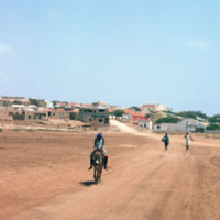
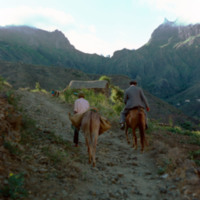
Two men travel a dirt path in this rural are of São Nicolau's hinterland. In this humid valley agriculture is the most productive of the archipelago but many of the farms are built into the mountain side and inaccessible to auto traffic. Once the…

http://www.ricdigitalcommons.com/Baxter_temp/CV-81-319.jpg
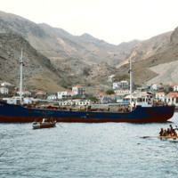
A boat voyage from Fogo to Brava ends at Furna, the main port on Brava. Here passengers and goods disembark via a small boat, a "launcha"; because of Brava's lack of deep water harbor at the time.

Tags: ,

http://www.ricdigitalcommons.com/temp/1116.jpg
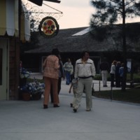
Pictured is the retail store, Miss Merrily’s Fashions, one of the many shops in the Disney World Village. Upon the shopping center’s opening in 1975, the area was originally called Lake Buena Vista Village. Filled with a various spectrum of retail…

http://www.ricdigitalcommons.com/temp/1101.jpg
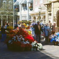
Main Street USA is a themed land at Magic Kingdom styled parks run by The Walt Disney Company. This photograph shows the Magic Kingdom at Disney World, Florida. Main Street USA mixes architectural styles from around the United States at the turn of…

http://www.ricdigitalcommons.com/Baxter_temp/CV-81-238.jpg
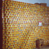
Pictured is a large stacked display of tuna cans packed and labeled by the SUCLA company in Tarrafal.

http://www.ricdigitalcommons.com/Baxter_temp/CV-85-036.jpg
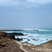
A rocky view of Praia de Cabral, a beach located about two miles from Sal Rei. In the distance people can be seen enjoying the white sands of this beach, which features a cove created by a natural rock wall.

http://www.ricdigitalcommons.com/Baxter_temp/CV-81-073.jpg
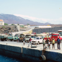
A scene on the docks at Porto Novo seen from the ferry "Porto Novo" as it approaches with passengers and cargo from Mindelo. For many years the "Porto Novo" was the lifeline between the islands São Vicente and Santo Antão.

http://www.ricdigitalcommons.com/Baxter_temp/CV-85-006.jpg
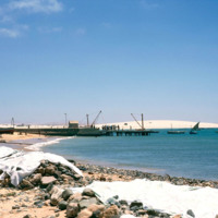
This picture was taken along the coast of Sal Rei looking towards a dock filled with a small crowd of people. It is possible that the boat on the opposite side of the dock has returned from a fishing venture and people have gathered to help unload…

http://www.ricdigitalcommons.com/Baxter_temp/CV-83-033.jpg
Situated along the coast of Santiago is Cape Verde's capital and largest city, Praia. The capital acts as an important port for the islands, exporting goods such as coffee, tropical fruits and sugar cane.

http://www.ricdigitalcommons.com/Baxter_temp/CV-81-282.jpg
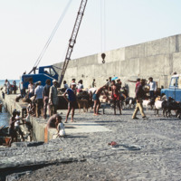
Cargo is loaded at Porto de Vale de Cavaleiros, a port about four kilometers north of São Felipe that serves Fogo.

http://www.ricdigitalcommons.com/Baxter_temp/CV-88-008.jpg
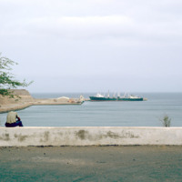
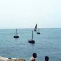
A view from the Port of Sal Rei. In the foreground two boys look out onto the Atlantic Ocean which is dotted with small fishing vessels. On the horizon a larger commercial ship can be seen.

http://www.ricdigitalcommons.com/Baxter_temp/CV-81-279.jpg
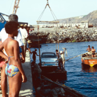
Cargo, in this photograph a car, is loaded via crane at Porto de Vale de Cavaleiros. Cargo is moved from a larger ship, not in this photograph, to smaller vessels that transport cargo between the ship and the dock.

http://www.ricdigitalcommons.com/Baxter_temp/CV-89-082.jpg
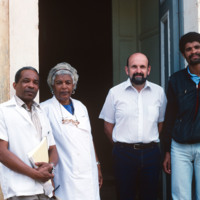
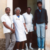
Left to right: Dr. Fernandes, Head Nurse (unidentified), David Baxter, and Hospital Aid (unidentified).

These individuals, through the help of St. Luke's Hospital in New Bedford, were able to effect a gift transfer of sterile used hospital bed…

http://www.ricdigitalcommons.com/Baxter_temp/CV-89-083.jpg
Left to right: Dr. Fernandes, Head Nurse (unidentified), David Baxter, and Hospital Aid (unidentified).

These individuals, through the help of St. Luke's Hospital in New Bedford, were able to effect a gift transfer of sterile used hospital bed…

http://www.ricdigitalcommons.com/Baxter_temp/CV-89-084.jpg
Left to right: Head Nurse (unidentified), Dr. Fenandes, William Andrade, and Hospital Aid (unidentified).

These individuals, through the help of St. Luke's Hospital in New Bedford, were able to effect a gift transfer of sterile used hospital bed…

http://www.ricdigitalcommons.com/Baxter_temp/CV-89-086.jpg
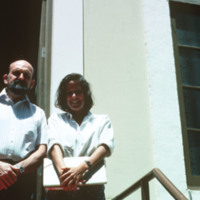
Left to right: David Baxter and hospital office worker (unidentified).

These individuals, through the help of St. Luke's Hospital in New Bedford, were able to effect a gift transfer of sterile used hospital bed linens, gowns etc. from St. Luke's…

http://www.ricdigitalcommons.com/temp/1229.jpg
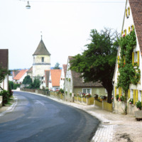
Dornhausen is a municipality in Bovaria, Germany. This 1969 photograph shows the church on main road 13. This small village had a population of 232 in a 2010 census. Notable in this 1969 photograph are the flower beds lining the road, which were…

http://www.ricdigitalcommons.com/temp/5171.jpg
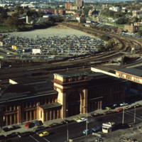
Union Railroad Depot, by Thomas A. Tefft, was opened in 1847. It was considered "a brilliant example of Romanesque architecture" in its time, and the longest building in America. As the city continued to grow, so too did the need for terminal space,…

http://www.ricdigitalcommons.com/temp/5450.jpg
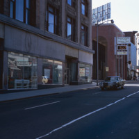
  Main St. in Pawtucket circa 1971, Smolski documents closed businesses and redevelopment in the downtown area. The building at the left has since been converted into a parking garage and small shops lining Main St.

http://www.ricdigitalcommons.com/temp/5139.jpg
Aerial view looking west by southwest. I-95 junction with I-195. In the 2000s I-195 was relocated to the south to allow for development and to correct safety issues and that were the result of poor planning. The Providence Civic Center (Dunkin Donuts…

http://www.ricdigitalcommons.com/temp/5221.jpg
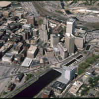
The Biltmore Hotel can be seen in the lower right of the image as well as Kennedy Plaza in the foreground. The Biltmore originally opened in 1922. It was closed in 1975 and reopened in 1979. Towards the center of the photo is the Financial District…

http://www.ricdigitalcommons.com/temp/5229.jpg
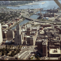
  Here is an aerial view of Downtown Providence. Providence is among America’s oldest cities and has been rebuilt many times. Providence has been one of Rhode Island’s strongest economic ports along with Newport. The city was founded by Roger…

http://www.ricdigitalcommons.com/temp/5147.jpg
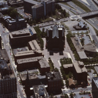
Designed by I.M. Pei and Zion & Breen, Cathedral Plaza was intended to be a marvelous piazza as the forecourt for one of Providence’s most monumental and important churches, the Cathedral of Saints Peter and Paul. (date of photograph is…

http://www.ricdigitalcommons.com/temp/4863.jpg
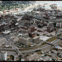
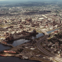
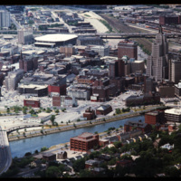
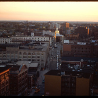
Downtown Providence from above, looking west across the Providence River into the cityscape. This 1976 view shows how Interstate 195 used to divide the city and occupy crucial downtown real estate. It was relocated in the 2000s to follow a more…

http://www.ricdigitalcommons.com/temp/5117.jpg
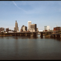
The Point Street Bridge (1927) spans the Providence River connecting Wickenden Street with Davol Place. The downtown Financial District is seen behind to the north.

http://www.ricdigitalcommons.com/temp/4844.jpg
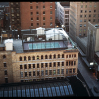
The Lauderdale building was designed by Stone, Carpenter & Willson and constructed in 1894. The design received national attention when it published June 30, 1894 in American Architect and Building News, which made mention of it's "fireproof"…

http://www.ricdigitalcommons.com/temp/4865.jpg
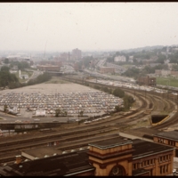
This 1970s view of Providence shows how the former route of Interstate 195, along with the railroad yard behind Union Station, isolated downtown Providence from the surrounding neighborhoods.

http://www.ricdigitalcommons.com/temp/5114.jpg
Prior to the construction of Waterplace Park railroad tracks and parking lots separated the different districts of downtown Providence. This barrier was locally referred to as a, "Chinese wall." This 1977 view shows Providence before its dramatic…

http://www.ricdigitalcommons.com/temp/4845.jpg
A west facing aerial view of Weybosset St.

http://www.ricdigitalcommons.com/temp/4971.jpg
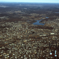
Downtown Woonsocket in 1979, featuring a view of Harris Pond and the Blackstone River. The Oak Hill Cemetery and the World War II Veterans Memorial Park can also be seen from the photo. Around the time this photo was taken, Woonsocket became the host…
Output Formats
atom, dcmes-xml, json, omeka-xml, rss2