Browse Items (993 total)

  • Collection: Chester Smolski Photographs

http://www.ricdigitalcommons.com/temp/1237.jpg
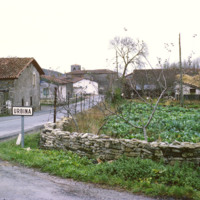
This photograph shows the village of Urbina. The road is A-4016, which runs through the center of the small village. It is about 20 miles south of Bilbao, capital of the province of Biscany.

http://www.ricdigitalcommons.com/temp/4981.jpg
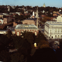
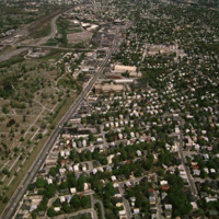
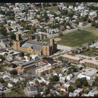
This shot overlooks the residential hills of East Providence as well as College Hill. In the middle, one can see the tower of the First Baptist Church -- to the right, the green dome of the First Church of Christ, Scientist on the horizon.
http://www.ricdigitalcommons.com/temp/5577.jpg
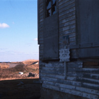
  An abandoned home for sale on Block Island.  The only town on Block Island is New Shoreham, which at the 2000 census had a population of 1,010 people.  Of those, about 7.9% live below the poverty line.  (date of photograph has been approximated)

http://www.ricdigitalcommons.com/temp/0448.jpg
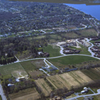
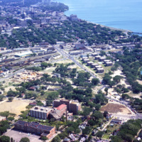
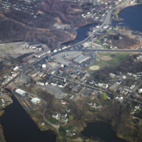
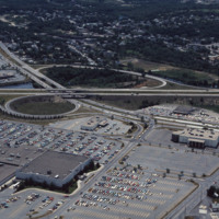
An aerial view of a planned community. Planned communities became popular in the 1960s throughout the United States. Planned communities typically made deliberate use of land that was previously unoccupied.

http://www.ricdigitalcommons.com/temp/0411.jpg
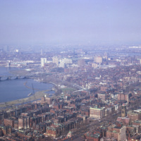
  Smolski captures an aerial view of Boston along the Charles River in 1966. 

http://www.ricdigitalcommons.com/temp/5215.jpg
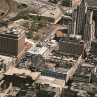
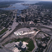
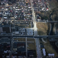
Kennedy Plaza and the former Chinese Wall of train tracks are seen in the center and upper left. The train tracks sealed off the Capital Center area of Providence from this, the traditional financial district.
http://www.ricdigitalcommons.com/temp/5182.jpg
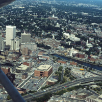
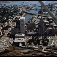
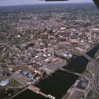
Aerial of downtown, I-195, and the Providence River. The building at Old Stone Square and Fleet Center are in the early stages of construction in this photo.
http://www.ricdigitalcommons.com/temp/5178.jpg
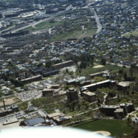
Aerial view looking east over Elmhurst and Wansuck neighborhoods in northwest Providence. Providence College in the foreground, Douglas Ave., St. Patrick’s Cemetery, and the Chad Brown Housing Project (1941). Chad Brown was the first low-rent public…
http://www.ricdigitalcommons.com/temp/5120.jpg
Towards the bottom of this image can be seen the so-called “Chinese Wall” that virtually separated downtown from Capital Center before the urban renaissance. Construction on Fleet Center is underway in the center, as well as Old Stone Square on South…

http://www.ricdigitalcommons.com/temp/5167.jpg
Aerial showing the old Financial District with new additions including the building at Old Stone Square (Edward Larrabee Barnes, 1984), 50 Kennedy Plaza (a.k.a. Fleet Center, Helmut, Obata & Kassebaum, 1985), One Financial Plaza (a.k.a Soveign…

http://www.ricdigitalcommons.com/temp/5170.jpg
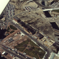
Railroad relocation was one of the core elements of the Providence Renaissance. In this aerial we can see the dirt lot where the railroad tracks were formerly located. Here we also see the burned roof of Union Station.
http://www.ricdigitalcommons.com/temp/5163.jpg
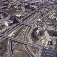
This aerial shows the way in which I-95 bisects the Financial District of downtown from Federal Hill and the West Side of Providence. Overpasses from top to bottom include Broadway, Washington Street, Westminster Sreet, Broad Street, and Pine Street…

http://www.ricdigitalcommons.com/temp/0441.jpg
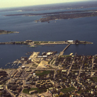
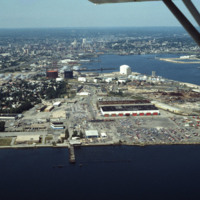
An aerial view of Newport Harbor and waterfront in Newport, Rhode Island. Long Wharf, to the right, and Goat Island, the slender island just offshore, are located on the western side of island. The shipping industry has a long history in Newport,…

http://www.ricdigitalcommons.com/temp/5216.jpg
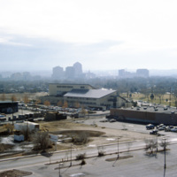
This aerial shows the city of Providence over the Seekonk River, as well as the bridges that cross this river. The Seekonk River begins where the Blackstone River reaches sea level, which is just under Pawtucket Falls. From here, the river flows…
http://www.ricdigitalcommons.com/temp/5130.jpg
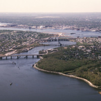
The Providence River is a tidal river that flows approximately 8 miles (13 km) from Narragansett Bay until it splits into the Woonasquatucket and Moshassuck Rivers in Providence. There are no dams along the river's length, although the Fox Point…
http://www.ricdigitalcommons.com/temp/5169.jpg
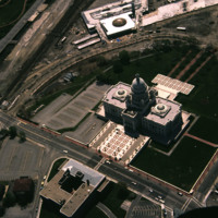
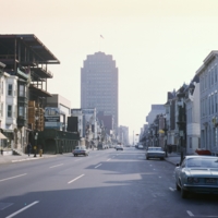
Designed by the architectural firm of McKim, Mead & White and constructed from 1895 to 1904. The building underwent a major renovation in the late 1990s. The building is made up of 327,000 cubic feet (9,300 m3) of white Georgia marble, 15 million…

http://www.ricdigitalcommons.com/temp/5119.jpg
Designed by the architectural firm of McKim, Mead & White and constructed from 1895 to 1904. The building underwent a major renovation in the late 1990s. The building is made up of 327,000 cubic feet (9,300 m3) of white Georgia marble, 15 million…

http://www.ricdigitalcommons.com/temp/5243.jpg
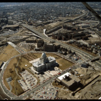
The downtown area of Providence, is the oldest business district in the city. In this area, many buildings can be seen dating from the late Federal and Greek Revival periods. Also seen in this aerial is the Rhode Island State House built between 1891…

http://www.ricdigitalcommons.com/temp/5198.jpg
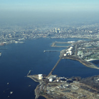
Before Roger Williams Park (1871), Fields Point was considered the city’s premier park location and the site of popular restaurants and the Washington Park Yacht Club. Once a “bucolic landscape of rolling hills, quiet coves and shaded groves”, Fields…

http://www.ricdigitalcommons.com/temp/1290.jpg
An aerial view of Madison, including the Triangle redevelopment project. On the horizon the state capitol is visible.

http://www.ricdigitalcommons.com/temp/0442.jpg
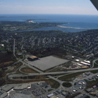
An aerial view over Middletown, Rhode Island. The building with the large lot is Newport Grand Jai Alai, shortened to Newport Grand, a casino. The photo shows development along Route 138, just outside of Newport.

http://www.ricdigitalcommons.com/temp/5495.jpg
  Newport is a city on Aquidneck Island in Newport County, Rhode Island. It is about 30 miles south of Providence. Known as a New England summer resort and for the famous Newport Mansions, it is the home of Salve Regina University and Naval Station…

Tags: ,

http://www.ricdigitalcommons.com/temp/5200.jpg
North Burial Ground was Providence’s first dedicated open space. Ten acres were allocated north of the “Compact Part of Town” in 1700 by a land grant from the town meeting. The first interment, however, was not until 1710-11, although it has been…

http://www.ricdigitalcommons.com/temp/5175.jpg
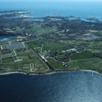
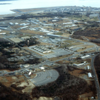
Quonset Point is a small peninsula in Narragansett Bay in the U.S. state of Rhode Island. It is contained entirely within the town of North Kingstown. Quonset Point was the location of Naval Air Station Quonset Point, a large United States Navy base.…

http://www.ricdigitalcommons.com/temp/5236.jpg
Manchester Street Power Station is located on 12 acres of land on Point Street in Providence. The Post-Modern 1990s addition was added by William D. Warner Architects & Planners. It produces enough electricity to power about 112,000 homes, using…

http://www.ricdigitalcommons.com/temp/5241.jpg
Seen here is an aerial view of Roger Williams Park which was named after the founder of Providence, Roger Williams. The park evolved from a 100 acre parcel that Betsy Williams gave to the city in 1871. Today the park is a 430 acre public park. The…

http://www.ricdigitalcommons.com/temp/5166.jpg
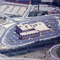
Designed by Py-Vavara Architects of Minneapolis, this photo shows the Marriott two years after completion.

http://www.ricdigitalcommons.com/temp/5206.jpg
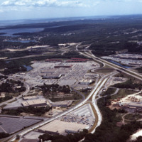
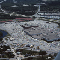
Rhode Island Mall (Midland Mall, 1967) was a once popular shopping center that now contains only a half-dozen open businesses. Warwick Mall opened five years after Midland Mall and a mile to its north. Composed of more than 1,000,000-square-foot…

http://www.ricdigitalcommons.com/temp/5164.jpg
Warwick Mall is an enclosed shopping mall in Warwick, Rhode Island, on the north side of Interstate 295 near the junction of Interstate 95. Composed of more than 1,000,000-square-foot (100,000 m2) of retail space, it features more than 70 stores and…

http://www.ricdigitalcommons.com/temp/5230.jpg
  The Warwick Mall first opened for business in 1972. Due to a major flood in March of 2010, Warwick Mall closed down and many of it’s stores as well. Five months after the flooding took a toll on the mall, it has finally reopened along with 40 other…

http://www.ricdigitalcommons.com/temp/4904.jpg
A view of Lake Ontario and Rochester, NY in the early 1970s. Lake Ontario is the fourteenth largest lake in the world, and one of the Great Lakes of America -- Rochester, NY is often called a Great Lake City for this reason.

http://www.ricdigitalcommons.com/temp/0796.jpg
Old Town Albuquerque is a historic section of town that dates back to the early 18th century settlements by the Spanish. Today it is a popular destination for shoppers and tourists. There are many historic adobe buildings, including the San Felipe de…

http://www.ricdigitalcommons.com/temp/0801.jpg
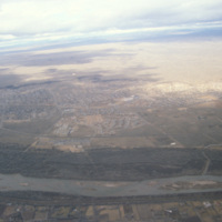
This image is showing an aerial view of the Rio Grande River. It is considered the fourth or fifth longest river system in North America. The river passes through the states of Colorado, New Mexico and Texas, thereby forming a natural border between…

http://www.ricdigitalcommons.com/temp/0794.jpg
Albuquerque’s skyline in 1993, shortly after construction of the Albuquerque Plaza (1990). it’s distinct shape can be seen in the center in this photograph. While it saw much of the same cycle of decline and urban renewal as many US cities in the…

http://www.ricdigitalcommons.com/temp/1299.jpg
The street lights on Hamilton St. were installed in 1916 and remained until the 1970s when revitalization ended up junking the ornate lamp posts. The flower bowl lamp posts were suggested by Mayor Alfred L. Reichenbach’s wife, Maude, after returning…

http://www.ricdigitalcommons.com/temp/1293.jpg
An aerial view of Allentown’s Fourth Street Urban Renewal Project. The project was part of a nationwide urban renewal trend in the 1960s and was designed to provide affordable housing to the residents of Allentown.

http://www.ricdigitalcommons.com/temp/1300.jpg
This photograph shows the the Urban Renewal Project area of Allentown before construction began. As in many cities, urban renewal in Allentown displaced many individuals and families. While Allentown did achieve some new apartment complex's, elderly…

http://www.ricdigitalcommons.com/temp/1302.jpg
This photograph shows the the Urban Renewal Project area of Allentown before construction began. As in many cities, urban renewal in Allentown displaced many individuals and families. While Allentown did achieve some new apartment complex's, elderly…

http://www.ricdigitalcommons.com/temp/1296.jpg
This 1965 photograph shows a newly constructed Public Safety Building that was built as part of an Urban Renewal project in the 1960s & 1970s.

http://www.ricdigitalcommons.com/temp/1292.jpg
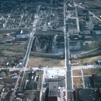
Allentown saw significant economic growth in the 19th century due to the industrial revolution. it was an exporter of iron which was exported through the Lehigh Valley Railroad. This photo, likely taken around 1975, shows a rail yard, and some…

http://www.ricdigitalcommons.com/temp/0730.jpg
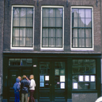
The Anne Frank House is a museum in Amsterdam that occupies the building which Anne Frank, her family, and four other people hid from persecution in secret rooms at the back of the house. It also serves as an exhibition space to highlight persecution…

http://www.ricdigitalcommons.com/temp/4943.jpg
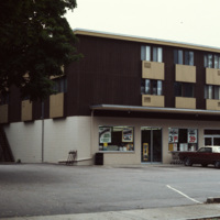
An apartment building with a convenience store on its first floor. This fusion of living and consumerism perhaps exemplifies a stage of urban development in Mansfield when the town was being urbanized and community housing encouraged.
http://www.ricdigitalcommons.com/temp/5251.jpg
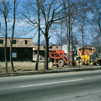
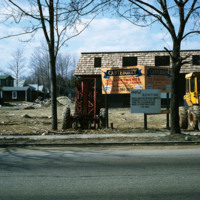
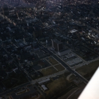
The new establishment of an apartment housing community in Taunton, MA. The sign reads: Canterburry Apartments at Taunton. An example of urban development in Massachusetts in the early 1970s.

http://www.ricdigitalcommons.com/temp/5252.jpg
The new establishment of an apartment housing community in Taunton, MA. The sign reads: Canterburry Apartments at Taunton. An example of urban development in Massachusetts in the early 1970s.

http://www.ricdigitalcommons.com/temp/1282.jpg
Apponaug is the center, or downtown, of Warwick, the second largest city in Rhode Island. Centered in this photograph is the City Hall, completed as the town hall in 1894, the city spent $75,000 to complete what is one of the most significant 19th…

http://www.ricdigitalcommons.com/temp/0487.jpg
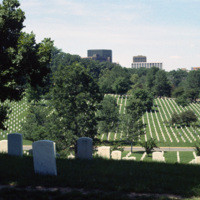
Arlington National Cemetery was established during the American Civil War and currently covers an area of 624 acres in Arlington, VA. This photograph, taken in the mid-1980s looks north across the cemetery and shows the Arlington skyline on the…

http://www.ricdigitalcommons.com/temp/0819.jpg
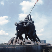
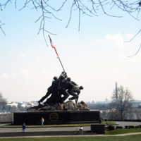
Also called the Iwo Jima memorial, the Marine Corps War Memorial was designed by Felix de Weldon. He was inspired by the photograph Raising the Flag on Iwo Jima taken by Joe Rosenthal during the Battle of iwo Jima. The memorial is dedicated to all…

http://www.ricdigitalcommons.com/temp/0820.jpg
Also called the Iwo Jima memorial, the Marine Corps War Memorial was designed by Felix de Weldon. He was inspired by the photograph Raising the Flag on Iwo Jima taken by Joe Rosenthal during the Battle of iwo Jima. The memorial is dedicated to all…

http://www.ricdigitalcommons.com/temp/5183.jpg
Built in 1907 as the home of the Rhode Island National Guard, the Cranston Street Armory is massive -- 165,000 square feet of space, with a central hall the size of two football fields. Throughout its 90 years, the armory has hosted civic functions…

http://www.ricdigitalcommons.com/temp/5374.jpg
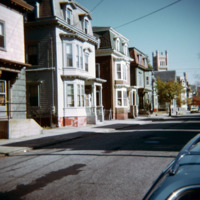
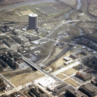
  The Armory Historic District of Providence was added to the National Register of Historic Places in 1989. The Cranston Street Armory is visible in the background of these Wood Street houses. Houses in the area vary in style from Greek Revival,…
Output Formats

atom, dcmes-xml, json, omeka-xml, rss2