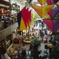
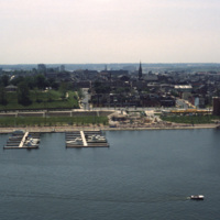
Browse Items (1954 total)

http://www.ricdigitalcommons.com/temp/5434.jpg
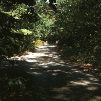
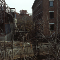
Blackstone Park, located between Angel St. and the grounds of Butler hospital, lies on land donated to the city by Moses Brown Jenkins in the 1860s. It is some of the hilliest land in Providence, and thus unsuitable for residential development. The…

http://www.ricdigitalcommons.com/temp/5425.jpg
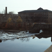
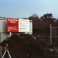
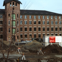
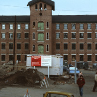
  The 1840s Blackstone Falls mill complex was turned into 133 units of housing for the elderly. The mill was located on a difficult site: two of its buildings were on an island in the Blackstone River, connected by a series of bridges across a canal.…

http://www.ricdigitalcommons.com/temp/5424.jpg
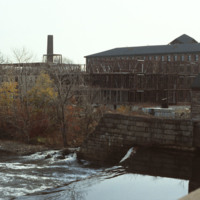
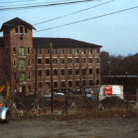
The 1840s Blackstone Falls mill complex was turned into 133 units of housing for the elderly. The mill was located on a difficult site: two of its buildings were on an island in the Blackstone River, connected by a series of bridges across a canal.…

http://www.ricdigitalcommons.com/temp/5422.jpg
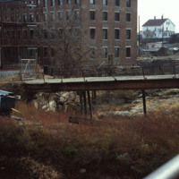
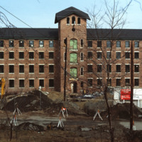
  The 1840s Blackstone Falls mill complex was turned into 133 units of housing for the elderly. The mill was located on a difficult site: two of its buildings were on an island in the Blackstone River, connected by a series of bridges across a canal.…

http://www.ricdigitalcommons.com/temp/5421.jpg
  The 1840s Blackstone Falls mill complex was turned into 133 units of housing for the elderly. The mill was located on a difficult site: two of its buildings were on an island in the Blackstone River, connected by a series of bridges across a canal.…

http://www.ricdigitalcommons.com/temp/5419.jpg
  The 1840s Blackstone Falls mill complex was turned into 133 units of housing for the elderly. The mill was located on a difficult site: two of its buildings were on an island in the Blackstone River, connected by a series of bridges across a canal.…

http://www.ricdigitalcommons.com/temp/5418.jpg
  The 1840s Blackstone Falls mill complex was turned into 133 units of housing for the elderly. The mill was located on a difficult site: two of its buildings were on an island in the Blackstone River, connected by a series of bridges across a canal.…

http://www.ricdigitalcommons.com/temp/5417.jpg
  The 1840s Blackstone Falls mill complex was turned into 133 units of housing for the elderly. The mill was located on a difficult site: two of its buildings were on an island in the Blackstone River, connected by a series of bridges across a canal.…

http://www.ricdigitalcommons.com/temp/5416.jpg
  The 1840s Blackstone Falls mill complex was turned into 133 units of housing for the elderly. The mill was located on a difficult site: two of its buildings were on an island in the Blackstone River, connected by a series of bridges across a canal.…

http://www.ricdigitalcommons.com/temp/5415.jpg
  The 1840s Blackstone Falls mill complex was turned into 133 units of housing for the elderly. The mill was located on a difficult site: two of its buildings were on an island in the Blackstone River, connected by a series of bridges across a canal.…

http://www.ricdigitalcommons.com/temp/5204.jpg
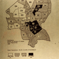
Blacks as a percent of he census tract population in Providence in 1980.

NTB-100-14-009.pdf
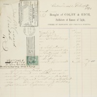
Bill listing books Joseph Peace Hazard ordered from Colby & Rich, publishers of "The Banner of Light." Titles include:

Ghosts & Other Lect.
Ingersoll's Field Dis.
Ingersoll on Blasphemy
Orthodoxy
Prose Poems Selections
Gods Other…

http://www.ricdigitalcommons.com/temp/1011.jpg
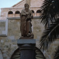
Statue of Saint Hieronymous (Saint Jerome) at the Church of St. Catherine of Alexandria in Bethlehem. The statue is modern, made in the mid twentieth century. The church itself was completed in 1882, built on the ruins of the crusader church…

http://www.ricdigitalcommons.com/temp/1031.jpg
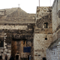
This picture was taken at an angle from Manger Square of the Church of Nativity in Bethlehem, Israel. Since its initial construction in 326 AD, the church has undergone much reconstruction and restoration over the years. Built over the cave that is…

http://www.ricdigitalcommons.com/temp/5226.jpg
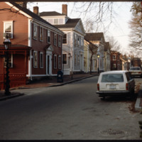
Historic houses on northern Benefit Street. Benefit Street runs north to south of the community’s 18th century center at Market Square. in the late 1950s, many of the houses on this street were about to be torn down but were saved, thanks to the…

http://www.ricdigitalcommons.com/temp/1234.jpg
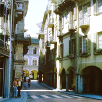
Bellinzona is a city in Switzerland famous for it’s three castles. It’s location at the foot of the Alps made it a strategic point for fortification since the Roman Empire. This photograph shows a street scene in Bellinzona during the late 1960s.

http://www.ricdigitalcommons.com/Baxter_temp/CV-88-019.jpg
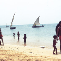
Cape Verdeans on a beach in Sal Rei. Several small boats are seen in the waters close to shore as well as the Port of Sal Rei to the far left.

http://www.ricdigitalcommons.com/Baxter_temp/CV-83-006.jpg
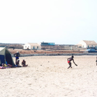
A typical scene of recreation and relaxation at Baia das gatas, a popular weekend resort for both São Vicente residents and tourists alike. It is located about eight miles west of Mindelo, the largest and only city on São Vicente.

http://www.ricdigitalcommons.com/temp/5571.jpg
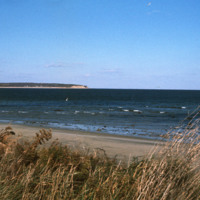
  Block Island beach and shoreline seen from Crescent  Beach near the Block Island Ferry Service landing. On the horizon are the Clayhead cliffs, a rocky area that contains iron-rich clay deposits. (date of photograph has been approximated)

http://www.ricdigitalcommons.com/Baxter_temp/CV-89-006.jpg
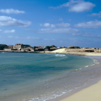
Vila do Maio photographed from a beach northwest of the village. This view shows how this village, built on a small, steep hill, rises dramatically from the shoreline. At the center of the village is a 19th century Baroque church that was completed…

http://www.ricdigitalcommons.com/Baxter_temp/CV-89-005.jpg
Vila do Maio photographed from a beach northwest of the village. This view shows how this village, built on a small, steep hill, rises dramatically from the shoreline. At the center of the village is a 19th century Baroque church that was completed…

http://www.ricdigitalcommons.com/Baxter_temp/CV-89-011.jpg
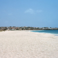
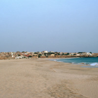
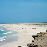
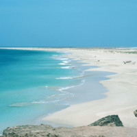
Looking away from Vila do Maio, this view shows the long flat shoreline from a beach near the islands primary settlement.

http://www.ricdigitalcommons.com/Baxter_temp/CV-85-004.jpg
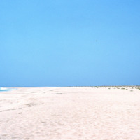
Sal Rei is the capital of Boa Vista, home to nearly half of the island's inhabitants. View is of footprints on a beach, near unidentified colonial buildings along a seawall. What may be the wreck of an old submarine or ship is visible to the right of…

http://www.ricdigitalcommons.com/Baxter_temp/CV-81-269.jpg
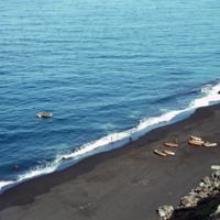
A view from above shows a beach near São Felipe from which a group of fishermen appear to be returning from a days work on the ocean. This photograph is taken from atop on of Fogo's ominous cliffs, carved out by Atlantic breakers. The black sand…

http://www.ricdigitalcommons.com/Baxter_temp/CV-89-016.jpg
Small fishing vessels are beached nearby Vila do Maio.

http://www.ricdigitalcommons.com/Baxter_temp/CV-89-015.jpg
Small fishing vessels are beached nearby Vila do Maio.

http://www.ricdigitalcommons.com/Baxter_temp/CV-88-133.jpg
A typical Sunday at Calhau, a popular weekend vacation spot about 12 miles from Mindelo. Note that black volcanic pumice dominates the landscape.

http://www.ricdigitalcommons.com/Baxter_temp/CV-81-341.jpg
The clear, placid waters of the harbor at Fajã d'Água are uncommon for Brava, an island that is swept by strong northwestern winds. However, this harbor and village are protected by steep mountains. It was once a place where whaling ships would dock.…

http://www.ricdigitalcommons.com/temp/4929.jpg
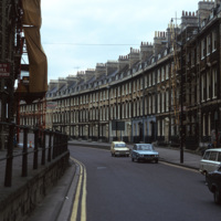
A street of Georgian townhouses in the city of Bath, in Somerset, England. The Hay Hill Baptist Church is on the left.

The layout of the city of Bath was established by John Wood the Elder from 1728 to 1775, where he and then his son, John Wood the…

http://www.ricdigitalcommons.com/temp/0926.jpg
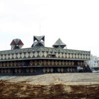
The Bat Yam town hall, or municipality building, is an avant garde gem of 1960s modernist architecture. Located in the town of Bat Yam, just south of Tel Aviv-Jaffa, this building has seen considerable decay until recently when it was re-recognized…

http://www.ricdigitalcommons.com/Baxter_temp/CV-83-038.jpg
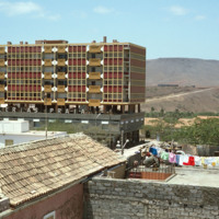
The Bank of Cape Verde is located in the capital city of Praia on the island of Santiago. It gained functional independence from the Portuguese Banco Nacional Ultramarino on July 1, 1976. The bank played an instrumental role in financing Cape Verde's…

http://www.ricdigitalcommons.com/temp/5181.jpg
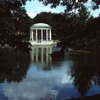
On Roosevelt Lake behind the Casino at Roger Williams Park sits the bandstand (John Hutchins Cady, 1915). According to Jordy, this classical revival structure has an “open, colonnaded Ionic rotunda as the climax of a metal-fenced, masonry platform…

http://www.ricdigitalcommons.com/temp/0516.jpg
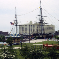
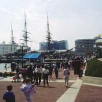
This 1978 photograph shows the USS Constellation at the inner harbor in Baltimore, Maryland. It was moved here in 1968 as part of the city’s revitalization plan. In the 1970’s the Inner Harbor emerged as the cultural center of Baltimore with the USS…

http://www.ricdigitalcommons.com/temp/0528.jpg
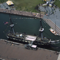
An aerial photograph of the USS Constellation shows it in it’s deteriorating condition prior to it’s 1990’s restoration. The 19th century fighting ship was used in military service through World War II before ending up in Baltimore as a relic.

http://www.ricdigitalcommons.com/temp/0705.jpg
The USS Constellation in Baltimore’s Inner Harbor. It is the last surviving Civil War era warship, and the last sail-only warship designed by the Navy. The Inner Harbor is a tourist friendly, center of culture in Baltimore. It has been revived since…

http://www.ricdigitalcommons.com/temp/0518.jpg
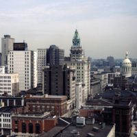
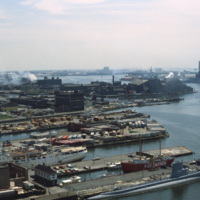
This view of the Baltimore skyline show’s the city in transition during the revitalization process that began around 1970. The 18 story building in the center of the photograph is the Maryland Casualty Company Tower, known locally as the Tower…

http://www.ricdigitalcommons.com/temp/0524.jpg
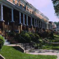
Row houses were popular in urban areas of the East Coast throughout the 19th century. Baltimore’s urban landscape has the best representation of the row house architecture, varying from grand manses to middle-class homes in various architectural…

http://www.ricdigitalcommons.com/temp/0521.jpg
Row houses were popular in urban areas of the East Coast throughout the 19th century. Baltimore’s urban landscape has the best representation of the row house architecture, varying from grand manses to middle-class homes in various architectural…

http://www.ricdigitalcommons.com/temp/0520.jpg
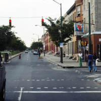
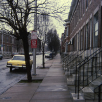
An example of row housing in Baltimore, Maryland. While row houses are popular in many cities, Baltimore in particular has them in the thousands in various architectural styles. This 1978 photograph from the Smolski collection shows an unidentified…

http://www.ricdigitalcommons.com/temp/0515.jpg
Row houses were popular in urban areas of the East Coast throughout the 19th century. Baltimore’s urban landscape has the best representation of the row house architecture, varying from grand manses to middle-class homes in various architectural…

http://www.ricdigitalcommons.com/temp/0514.jpg
Row houses were popular in urban areas of the East Coast throughout the 19th century. Baltimore’s urban landscape has the best representation of the row house architecture, varying from grand manses to middle-class homes in various architectural…

http://www.ricdigitalcommons.com/temp/0529.jpg
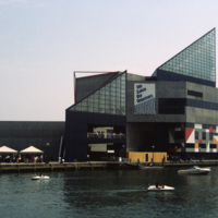
The National Aquarium in Baltimore photographed in 1985 shows it in it’s original form under the direction of Peter Chermayeff of the Cambridge Seven. Additions to the aquarium were made in 1990 and 2004. The National Aquarium is in Baltimore’s Inner…

http://www.ricdigitalcommons.com/temp/0522.jpg
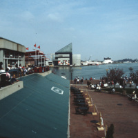
The National Aquarium in Baltimore, Maryland. Photographed from a restaurant across the Inner Harbor, this 1985 view of the National Aquarium is before the historic ships, including the USS Torsk were moored as permanent installations. The building…

http://www.ricdigitalcommons.com/temp/0513.jpg
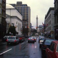
The Washington Monument and Museum at Mount Vernon Place, visible beyond busy Charles Street in Baltimore, Maryland. The monument is 178 feet tall and sits atop a hill in the heart of Baltimore. Architect Robert Mills designed the monument. Completed…

http://www.ricdigitalcommons.com/temp/0828.jpg
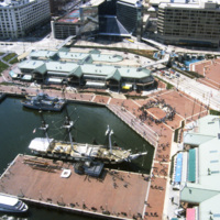
Baltimore’s Inner Harbor photographed in the 1980s. This aerial view shows the Light St. and Pratt St. Pavilions as well as the USS Constellation. The pavilions, developed by James W. Rouse, were part of Baltimore’s revitalization project which…

http://www.ricdigitalcommons.com/temp/0527.jpg
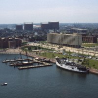
This southwest facing aerial view of Baltimore’s Inner Harbor shows it in a transitional stage. The Maryland Science Center is without it’s later added IMAX theater and lobby. The long tan building on Light St. is Christ Church Harbor apartments, an…

http://www.ricdigitalcommons.com/temp/0517.jpg
Baltimore’s Inner Harbor has become the cultural center of the city since the waterfront revitalization project launched in the 1970’s. This 1978 photograph show’s the docks before they were developed into the National Aquarium and various commercial…
http://www.ricdigitalcommons.com/temp/0526.jpg
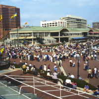
The Inner Harbor Plaza is a tourist friendly area in downtown Baltimore that has been described as a model for post-industrial waterfront redevelopment. This 1985 photograph gives an impression of the amount of draw the museums, shopping and…
http://www.ricdigitalcommons.com/temp/0523.jpg
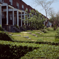
This interior photograph shows the Light Street Pavilion at Harborplace Mall. This Inner Harbor mall was opened in 1980 as the centerpiece of the downtown revival. The mall originally consisted of two two-story pavilions, Pratt St. and Light St.…
http://www.ricdigitalcommons.com/temp/0519.jpg
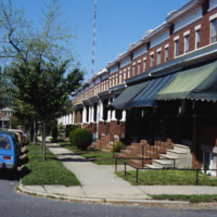
The Maryland Science Center (MSC) was built in the Inner Harbor in 1976, but grew from the Maryland Academy of Sciences formed in 1797. When the MSC opened in June 1976 it had both interactive exhibits and a state of the art planetarium. Since then…
Output Formats

atom, dcmes-xml, json, omeka-xml, rss2