Browse Items (1954 total)

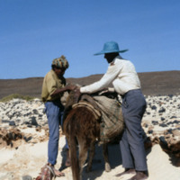
http://www.ricdigitalcommons.com/Baxter_temp/CV-88-068.jpg
Fishermen load a mule with their catch, among other supplies.

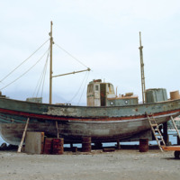
http://www.ricdigitalcommons.com/Baxter_temp/CV-83-012.jpg
Maintenance of wooden fishing boat in dry dock at Porto Grande.

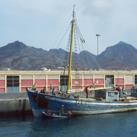
http://www.ricdigitalcommons.com/Baxter_temp/CV-81-016.jpg
A fishing vessel docked at Porto Grande on the island São Vicente. Allowed to fall into disrepair during the mid-twentieth century, Porto Grande has been since revitalized. A major part of the ports activity revolves around fishing.

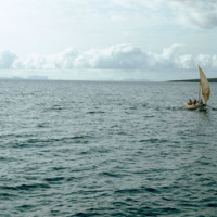
http://www.ricdigitalcommons.com/Baxter_temp/CV-81-236.jpg
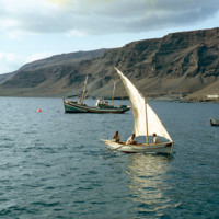
A fishing vessel casts off on Tarrafal Bay in this photo, likely taken in the mid morning. Tarrafal, home to what is perhaps the first tuna vannery in Cape Verde, is a coastal town on São Nicolau. Tarrafal's economy is mostly fueled by it's fishing…

http://www.ricdigitalcommons.com/Baxter_temp/CV-81-237.jpg
Fishing vessel on Tarrafal Bay. Tarrafal, a coastal town on São Nicolau, is a fishing town with a tuna cannery that is believed to be the first in Cape Verde.

http://www.ricdigitalcommons.com/temp/0724.jpg
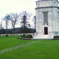
Flanders Field was the site of intense fighting throughout the First World War. Flanders Field, famous for the poem that bears it’s name, is the only American Cemetery in Belgium, containing mostly the graves of those who fell in final days of war in…
http://www.ricdigitalcommons.com/temp/1175.jpg
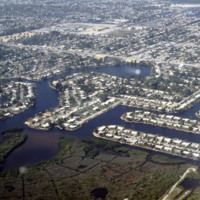
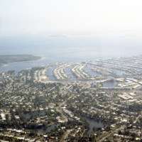
These housing developments, built on various water-ways through dredging & filling, can be found all over the coasts of St. Petersburg. Much of these neighborhoods were developed in the early 1950’s during a period of dredging and filling along…

http://www.ricdigitalcommons.com/temp/1146.jpg
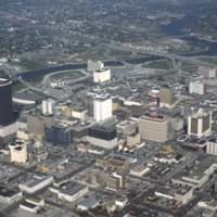
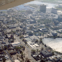
This is an aerial shot taken of downtown Tampa. Pictured at the far left of this picture is a tall brown building known formerly as the Lykes Building. Presently, it is known as Park Tower. Located at 400 North Tampa Street, this skyscraper was built…

http://www.ricdigitalcommons.com/temp/1147.jpg
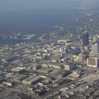
This is another aerial view of downtown Tampa. This photograph overlooks the Hillsborough Bay. Along with Old Tampa Bay, Middle Tampa Bay, and Lower Tampa Bay, the four make up what is known as Tampa Bay. Also seen in this photo are major buildings…

http://www.ricdigitalcommons.com/temp/1148.jpg
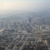
Here is another aerial photograph of downtown Tampa. The major body of water in the background is known as Tampa Bay. Running right through the middle of this picture is State Road 93 and Interstate 275. As part of the Florida Department of…

http://www.ricdigitalcommons.com/temp/1144.jpg
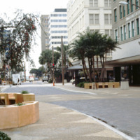
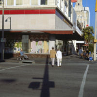
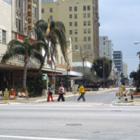
Pictured is a shopping district in downtown Tampa, Florida. To the far right of this picture is the Citizens Bank Building. Built in 1913 with a height of 145 feet tall, this building was considered the tallest building in Tampa until 1915 when the…

http://www.ricdigitalcommons.com/temp/1165.jpg
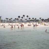
Clearwater Beach, a year-round vacation spot, spans 3 miles along the coast of Florida. With its clean white sand and various attractions, this beach, located just 20 miles from the Tampa International Airport, makes the perfect vacation spot for any…

http://www.ricdigitalcommons.com/temp/1163.jpg
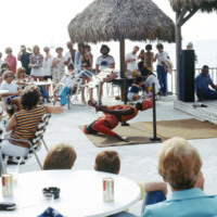
This picture was taken near the shores of Clearwater beach, located in Clearwater, Florida. People have gathered here to enjoy a vigorous limbo competition. The surrounding area here provides many sources of entertainment for its guests. The area is…

http://www.ricdigitalcommons.com/temp/1154.jpg
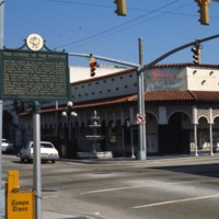
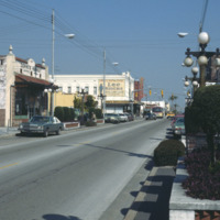
Known for its Latin flare, Tampa’s Ybor City is one of the highlights for tourists visiting the city. Located northeast of downtown, this historic city was founded by a large number of cigar manufacturers. With red brick buildings, iron balconies,…

http://www.ricdigitalcommons.com/temp/1177.jpg
This is an aerial view of downtown Saint Petersburg, Florida in 1978. Mirror Lake can be seen in the photo as well as the harbor off in the distance, which houses the St. Petersburg Municipal Marina. Located right in front of the marina are the…

http://www.ricdigitalcommons.com/temp/1158.jpg
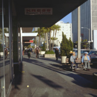
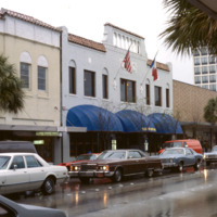
The first building seen here is the S. H. Kress & Co. building located in downtown St. Petersburg. This four-story building was built in 1927 as part of the S. H. Kress & Co. department store chain. The Kress company went out of business in…

http://www.ricdigitalcommons.com/temp/1156.jpg
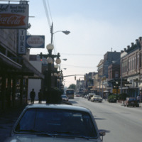
Here is another picture of downtown Ybor City on 7th Avenue. The first brick building on the left is Demmi’s Market, a small grocery store which is a favorite among locals for a slice of pizza in a lively atmosphere. The building behind Demmi’s…

http://www.ricdigitalcommons.com/temp/1120.jpg
The Everglades National Park is a public park dedicated to the conservation and preservation of this natural habitat. The Everglades area once spanned 11,000 square miles, but the National Park only protects the southern fifth of the entire region.…

http://www.ricdigitalcommons.com/temp/1171.jpg
These housing developments, built on various water ways through a process of dredging & filling, can be found all over the coasts of St. Petersburg. Many of these neighborhoods were developed in the early 1950s along the Gulf Beaches and western…

http://www.ricdigitalcommons.com/temp/1142.jpg
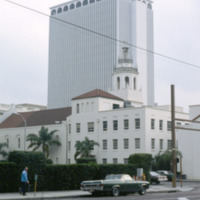
Built in 1957 by the MacEwen Group, this building was formerly known as the Exchange National Bank Building. This skyscraper towers over many surrounding buildings at 280 feet and 22 stories. This piece of architecture was built in the international…

http://www.ricdigitalcommons.com/temp/1153.jpg
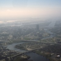
Pictured is an aerial view of the Hillsborough River in the city of Tampa, Florida. The river originates in The Green Swamp located in central Florida and flows downward for 59 miles until it empties into Tampa Bay. The middle river is the city of…

http://www.ricdigitalcommons.com/temp/1150.jpg
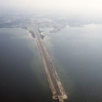
This is an aerial shot of the Howard Frankland Bridge connecting St. Petersburg to Tampa showing Causeway 275 on the Tampa side. The body of water it rests atop is the Old Tampa Bay. It was initially completed in the 1960s, and comprised of four…

http://www.ricdigitalcommons.com/temp/1143.jpg
The four story building to the left of this photo is known as the Kress Building in downtown Tampa, Florida. Originally opened in 1900 on Franklin Street, the store was soon relocated to Florida Avenue in 1908. That store was demolished in 1929. That…

http://www.ricdigitalcommons.com/temp/1167.jpg
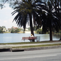
Photographed from Mirror Lake Drive, Mirror Lake is one of many lakefront neighborhoods in St. Petersburg. Mirror Lake is located in a section of St. Petersburg known as Round Lake Historic District, designated as such in 2003. In this picture the…

http://www.ricdigitalcommons.com/temp/1137.jpg
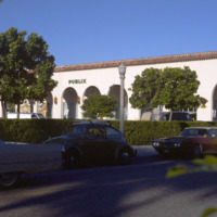
Publix Super Markets, Inc. is one of the leading privately owned grocery stores in the states of Florida, Georgia, South Carolina, Alabama, and Tennessee. The first store was opened in Winter Haven, FL in the 1930s by George Jenkins. Starting out…

http://www.ricdigitalcommons.com/temp/1157.jpg
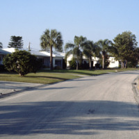
Seen here is a densely packed neighborhood in St. Petersburg, Florida. The settlement of retired folks has been observed to be in abundance for this area. Along with many declines in housing during Workd War 1, the Great Depression, and World War 2,…

http://www.ricdigitalcommons.com/temp/1160.jpg
The downtown area of St. Petersburg is known as the Central Business District of the city. Some buildings of significance in this area include: the Bank of America Tower, the headquarters of the Tampa Bay Times newspaper, and the Mahaffey Theater…

http://www.ricdigitalcommons.com/temp/1141.jpg
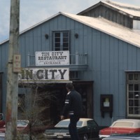
Pictured is the entrance to historic Tin City, named for its distinguishable tin roofed buildings. Ever since the 1880s, this area of waterfront has attracted many tourists. In earlier times, access to this area was rather difficult; passengers has…

http://www.ricdigitalcommons.com/temp/1161.jpg
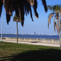
This picture shows the skyline of Tampa from St. Petersburg. The body of water separating the two cities is the Tampa Bay. The large dark colored building in the center of the photo is the Lykes Building, now called Park Tower. The two cities can be…

http://www.ricdigitalcommons.com/temp/1159.jpg
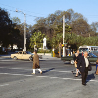
Pictured across the street on the corner of 1st and 4th Avenues (North) in St. Petersburg is the World War Heroes Memorial in Williams Park. Engrave with the word “loyalty” located at the top, this memorial was erected by the St. Petersburg chapter…

http://www.ricdigitalcommons.com/temp/1135.jpg
Worth Avenue is viewed as one of the most famous shopping districts in the state of Florida. The area first gained retail insight when The Everglades Club was built on this road in 1918. This club held weekly fashion shows showing the latest trends…

http://www.ricdigitalcommons.com/temp/1155.jpg
Ybor City’s 7th Avenue spans 11 blocks between 26th Street and the Nick Nuccio Parkway. Having been settled by many cigar manufacturers, 7th Avenue was known as the heart of the cigar industry. At one point, there were over 230 factories established…

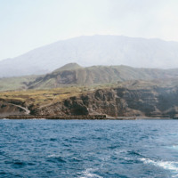
http://www.ricdigitalcommons.com/Baxter_temp/CV-81-286.jpg
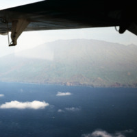
Porto de Vale de Cavaleiros photographed from offshore. On the horizon Pico do Fogo extends into the sky.

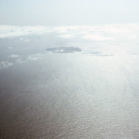
http://www.ricdigitalcommons.com/Baxter_temp/CV-81-311.jpg
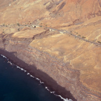
Aerial photograph of the island Fogo and the nearby Ilhéus do Rombo, a group of small islets that have since been declared nature preserves.

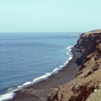
http://www.ricdigitalcommons.com/Baxter_temp/CV-81-270.jpg
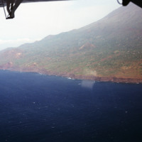
A long look across Fogo's ominous cliffs that hang over the islands black sand beaches. In the foreground some local fishing vessels have been dragged ashore, or perhaps are waiting to be launched (from the shadows in the picture this picture seems…

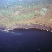
http://www.ricdigitalcommons.com/Baxter_temp/CV-81-263.jpg
An aerial view of São Felipe and Porto de Vale de Cavaleiros. The port is north of the the town center of São Felipe. Notice the sea protection wall that juts out into the ocean, designed to protect ships from the rough waves and strong winds that…

http://www.ricdigitalcommons.com/Baxter_temp/CV-81-261.jpg
An aerial view of Fogo, a an almost perfectly round island containing one large, active volcano. Pico do Fogo, the volcano itself, is the highest point in Cape Verde. The last erruption to date (2012) was in 1995. This photograph was made in 1981.

http://www.ricdigitalcommons.com/Baxter_temp/CV-81-262.jpg
An aerial view of Fogo shows vegetation and settlements on the slope of the volcano. This photograph was made in 1981. In 1995 an eruption caused all the residents of the island to be evacuated as many the homes were destroyed.

http://www.ricdigitalcommons.com/Baxter_temp/CV-81-264.jpg
An aerial view of São Felipe shows beautiful stone bridges that cross steep valleys on this coastal road.

http://www.ricdigitalcommons.com/Baxter_temp/CV-81-265.jpg
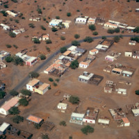
An aerial view of São Felipe shows the mixture of decaying homes with beautiful pastel buildings with terracotta tiled roofs.

http://www.ricdigitalcommons.com/Baxter_temp/CV-81-259.jpg
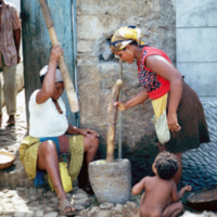
Unidentified women, residents of Tarrafal, São Nicolau, prepare dried corn with a mortar and pestle. Note also the cobblestone streets, which are a trademark of Cape Verde cities and villages.

http://www.ricdigitalcommons.com/Baxter_temp/CV-81-085.jpg
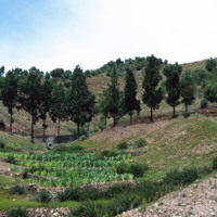
Journey to Ribeira Grande, one of the most spectacular road trips a visitor to Cape Verde can experience. The foothills on the journey to Ribeira Grande are filled with forest plantations and cool air.

http://www.ricdigitalcommons.com/temp/5246.jpg
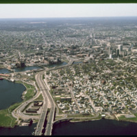
  India Point Park is a park in the Fox Point neighborhood of Providence, Rhode Island at the confluence of the Seekonk River and Providence River. The park takes its name from the maritime activity connecting Providence with the East and West…

http://www.ricdigitalcommons.com/temp/1239.jpg
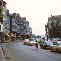
The row houses on the harbor of Honfluer are known for being picturesque and has attracted many artist who have painted this scene, photographed here in 1979. The city today is home to many historic buildings and picturesque views.

http://www.ricdigitalcommons.com/temp/1238.jpg
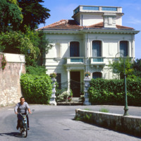
The Moyenne Corniche connects Mento to Nice and runs through the Côte d’Azur (English: French Riviera) and is named such because it is the middle cliff road between a higher and lower road. The French Riviera has long been the vacation land and…

http://www.ricdigitalcommons.com/temp/0471.jpg
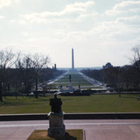
The view from the Capitol steps overlooks the National Mall and the George Washington Monument. The plan for the National Mall began at the very end of the 18th century with the vision of Pierre Charles L’Enfant. Many years and political events,…

18209164-Summary_AntonioMorelli.pdf
This interview has been catalogued as 02 of 20 from box 9 in the Ethnic Heritage Studies collection. The original audio recording, made for the series, 'From Immigrant to Ethnic,' is located on audio cassette 02 in box 10.

20642278-IE02.mp3
This is an audio file with a transcript. The interview has been catalogued as 02 of 20 from box 9 in the Ethnic Heritage Studies collection. The original audio recording, made for the series, 'From Immigrant to Ethnic,' is located on audio cassette…

18209170-IE09A.mp3
This interview has been catalogued as 09 of 20 from box 9 in the Ethnic Heritage Studies collection. The original audio recording, made for the series, 'From Immigrant to Ethnic,' is located on audio cassette 09 in box 10.

20642284-IE09.mp3
This is an audio file with a transcript. The interview has been catalogued as 09 of 20 from box 9 in the Ethnic Heritage Studies collection. The original audio recording, made for the series, 'From Immigrant to Ethnic,' is located on audio cassette…
Output Formats

atom, dcmes-xml, json, omeka-xml, rss2