Browse Items (1954 total)

http://www.ricdigitalcommons.com/temp/0906.jpg
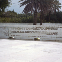
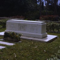
The Memorial to the Holocaust Plaza was designed by Israeli sculptor Dani Karavan and completed in 1972. It is a memorial plaza at the the Weizmann Institute of Science, the center piece of which is a bronze and stone sculpture representing a torah…
http://www.ricdigitalcommons.com/temp/0908.jpg
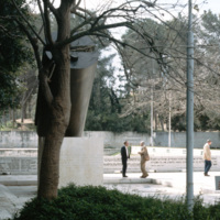
This photograph shows Dani Karavan’s 1972 Memorial to the Holocaust. The sculpture, which is a large torah scroll split and inscribed with numbers, is installed at the Weizmann Institute of Science. It is the center piece of a plaza on campus.

http://www.ricdigitalcommons.com/temp/0909.jpg
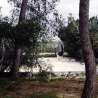
The Memorial to the Holocaust at the Wizmann Institute of Science was designed by Israeli sculptor Dani Karavan. The site is a plaza with a split torah sculpted in the center. The torah sculpture is insrcibed with numbers, perhaps alluding to the…

http://www.ricdigitalcommons.com/temp/0904.jpg
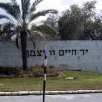
This photograph shows the main gate at the Weizmann Institute of Science. The university was established in 1935 by Dr. Chaim Weizmann as the Daniel Sieff Research institute. On Dr. Weizmann’s 75th birthday in 1949, the university was renamed his…

http://www.ricdigitalcommons.com/temp/0905.jpg
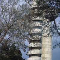
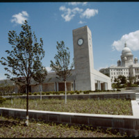
The Koffler Accelerator, completed in 1976, was built to study atomic particles. The design by Moshe Harel joins two towers, one which houses the particle accelerator, and the other which has a winding staircase (shown) and the building cables,…

http://www.ricdigitalcommons.com/temp/0911.jpg
After Israel was recognized as a country by the US, Chaim Weizmann was chosen to serve as the country’s first President. He was elected in February of 1949 and served as Israel’s President until his death in 1952. It was in April of 1949 that he…

http://www.ricdigitalcommons.com/temp/5045.jpg
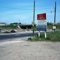
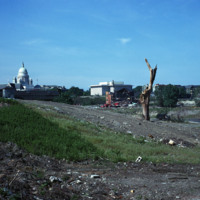
Randall Sqare in the midst of its redevelopment after it was demolished in 1971 as part of a large land clearing in order to make room for light manufacturing, commercial development and the Marriott Hotel.

http://www.ricdigitalcommons.com/temp/4916.jpg
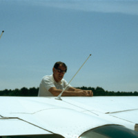
Ray, the pilot who flew for (at least some of) Smolski's aerial photography.

http://www.ricdigitalcommons.com/temp/5231.jpg
This is the old Bull Dog Tavern built in 1798.  This tavern may have given the name to the area as Bull Dog Square, later Randall Square.  It survived the fire that took the American Screw Company in July 1971. Richard Smith of Smithfield, RI took up…

http://www.ricdigitalcommons.com/temp/5258.jpg
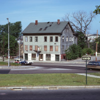
  This synagogue was demolished as part of a large land clearing in order to make room for light manufacturing, commercial development and the Marriott Hotel.

http://www.ricdigitalcommons.com/temp/5528.jpg
Randall Square before renewal.   Plans for redevelopment had begun in 1964, however before these plans were put into action a fire destroyed much of the area in 1971.

5260.jpg
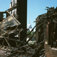
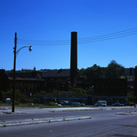
Randall Square was a site of dense industrial complexes which included these mills that were destroyed. Most of the land in this area was either underused or vacant much like many lands in Providence during the late 1960

http://www.ricdigitalcommons.com/temp/5165.jpg
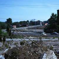
General wasteland of Randall Square before renewal. St. Patrick’s Church can be seen in the left near the State House, and the Armenian Church is on the extreme right. Also of note are the triple-deckers to the west which were once part of…

http://www.ricdigitalcommons.com/temp/5527.jpg
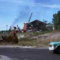
Fire damaged mills in Randall Square.  Plans to redevelop the space date back to 1964, but before redevelopment could begin the square was mostly destroyed by fire in 1971. 

http://www.ricdigitalcommons.com/temp/0690.jpg
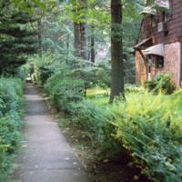
The planners of Radburn, influenced by England’s Garden Cities, intended pedestrian walkways to be the main method of transportation. This is illustrated in this 1970 photograph showing the front of a home in Radburn facing one of the walkways. The…

http://www.ricdigitalcommons.com/temp/0687.jpg
A planned community in Fair Lawn, New Jersey, Radburn has a system of walkways to encourage pedestrian traffic. This 1979 photograph shows walkways in use on a rainy afternoon. The fronts of homes in Radburn face the walkways, while the backs are on…

http://www.ricdigitalcommons.com/temp/0693.jpg
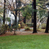
Radburn, a planned community inspired by England’s Garden Cities, emphasized common areas, like this walkway and park, and allocated a minimal amount of land to individual homes. While walkways may have had some environmental impact by encouraging…

http://www.ricdigitalcommons.com/temp/0689.jpg
The entrance to one of Radburn’s walkways is shown in this 1970 photograph. The use of walkway’s separates pedestrian traffic from motorized traffic, and has had energy saving consequences, encouraging residents to walk for local travel rather than…

http://www.ricdigitalcommons.com/temp/0682.jpg
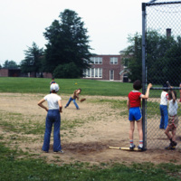
Radburn is a planned community founded in 1929. It was designed to separate traffic by mode, utilizing a pedestrian path system that does not cross any major road. Radburn has 23 acres of interior parks, including this hardball field, one of three…

http://www.ricdigitalcommons.com/temp/0684.jpg
Radburn is a unique planned community that separates motorized transportation from pedestrian traffic. In this 1979 photograph Smolski shows a section of the pedestrian road that passes a swimming pool. Radburn was influenced by England’s Garden…

http://www.ricdigitalcommons.com/temp/0683.jpg
Radburn, a planned community in New Jersey, has over 23 acres of parks within it’s boundaries. The planners felt that with this much open space, residents wouldn’t need large yards, and therefore the homes are very close together, and relatively…

http://www.ricdigitalcommons.com/temp/0691.jpg
Radburn, a planned community that was founded in 1929, was based on England’s Garden Cities. This photograph was taken on Howard Ave, named for Sir Ebeneezer Howard, whose 1898 publication Garden Cities of To-morrow influenced urban planners to…

http://www.ricdigitalcommons.com/temp/0681.jpg
Radburn is a planned community in New Jersey that was influenced by England’s Garden Cities. It was founded in 1929. Ironically it was billed as, “a town for the motor age,” but modern vehicles, and families owning multiple vehicles were not…

http://www.ricdigitalcommons.com/temp/0692.jpg
Drawing influence from England’s Garden Cities, the planners of Radburn separated streets for motor vehicles from pedestrian routes. To encourage pedestrian traffic, and to create harmony between residents and nature, the rear of the houses face the…

http://www.ricdigitalcommons.com/temp/0695.jpg
On this slide Smolski notes “Radburn Plan separated streets & pedestrians, children don’t play in streets?” Radburn, a planned community, makes extensive provisions for walkways and public lands that are separate from motor ways. In this context,…

http://www.ricdigitalcommons.com/temp/1020.jpg
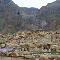
This photograph was taken in Qumran, the area where in 1947 (or late 1946) the Dead Sea Scrolls were discovered by three Bedouin shepherds. The caves are located about eight miles south of Jericho, in present day Israel. In this picture a sign can…

http://www.ricdigitalcommons.com/temp/1021.jpg
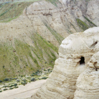
Discovered in August of 1952, Cave 4 is located just a couple hundred feet from the ruins at Khirbet Qumran. It was discovered by a Ta’amireh Bedouin tribesman pursuing a partridge. Cave 4 has been the location for the greatest number scroll…

http://www.ricdigitalcommons.com/temp/1022.jpg
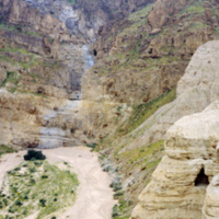
In 1947 a group of Bedouin shepherds happened upon what would be known as the Dead Sea Scrolls. Between 1947 and 1956 both the Bedouin and archaeologists performed a comprehensive search of eleven caves in Qumran, which resulted in the recovery of…

http://www.ricdigitalcommons.com/temp/4982.jpg
Faneuil Hall in Boston was expanded in 1826 to include Quincy Market, which was designed in the Greek Revival Style and later named after Major Josiah Quincy. The market became run-down in the mid 1900's, but was revitalized by Jim Rouse, architect…

http://www.ricdigitalcommons.com/temp/0450.jpg
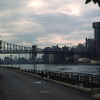
  Roosevelt Island is located between Manhattan and Queens in the East River. The Queensboro Bridge crosses over the island, pictured at the left of the photo. Roosevelt Island has had many names over the years and once served as grounds for a state…

http://www.ricdigitalcommons.com/temp/0457.jpg
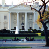
Quakers sit in protest of the Vietnam War outside of the north portico of the White House. Although the Quakers had a long history of promoting peace, it was not until Clarence Pickett of the American Society of Friends founded the National Committee…

JM-IAIRI-1936XXXX-88.jpg
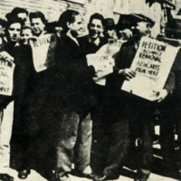
A high school student emerges as a leader in the fight to save the pushcarts and the stands. It seemed everyone wanted to help. The vendors in the photograph are Joseph Garofalo, Mr. Merabella, Frank Tomaselli, Frank Garofalo, Antonio Zabatta, one of…

http://www.ricdigitalcommons.com/temp/5392.jpg
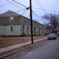
  The Morin Heights Public Housing Development located on Morin Heights Boulevard in Woonsocket, Rhode Island. The housing development was designed for low-income families. The development was established by the Woonsocket Housing Authority in 1940.…

http://www.ricdigitalcommons.com/temp/5378.jpg
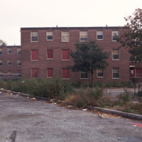
  The Roger Williams Housing Project was built in 1943 to address housing issues for the low-income residents of Providence. The project was considered a success for the first fifteen years of its existence, with a strong residents association and…

http://www.ricdigitalcommons.com/temp/5395.jpg
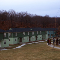
  The Veterans Memorial public housing project in Woonsocket provides housing designed for the elderly, but also with amenities for low-income families, including an after school tutoring program and playground. 

http://www.ricdigitalcommons.com/temp/0419.jpg
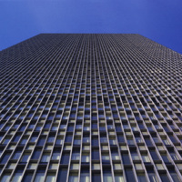
  Seen here in a vertical photograph is the facade of the Prudential building in Boston, Massachusetts. The tower consists of 52 floors of office space built in 1964. The Prudential tower is part of a complex referred to as the Prudential Center…

http://www.ricdigitalcommons.com/temp/5028.jpg
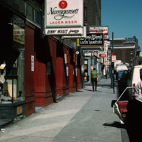
Street scene of Richmond St near the corner of Richmond St and Pine St in downtown Providence.


http://www.ricdigitalcommons.com/temp/4939.jpg
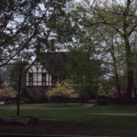
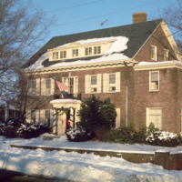
This 2 1/2-story Tudor Revival house was designed by Prescott O. Clarke. Clarke was a principal in the architectural firm Clarke & Spaulding and designed the home for his own residence. The home was one of the first Tudor Revival houses in Providence…

http://www.ricdigitalcommons.com/temp/5521.jpg
Rhode Island College, originally referred to as the Normal School, has occupied several locations and changed names throughout the years. Rhode Island College is known as one of the first teacher preparatory schools in the country. Having out-grown…

http://www.ricdigitalcommons.com/temp/4906.jpg
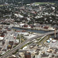
The Providence River separates the Downtown and East Side neighborhoods of Providence. The East Side is home to Brown University, and Rhode Island School of Design. Roger Williams founded Providence along College Hill, thus the East Side contains…

http://www.ricdigitalcommons.com/temp/4907.jpg
The Providence River separates the Downtown and East Side neighborhoods of Providence. The East Side is home to Brown University, and Rhode Island School of Design. Roger Williams founded Providence along College Hill, thus the East Side contains…

http://www.ricdigitalcommons.com/temp/5042.jpg
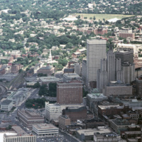
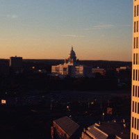
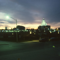
Downtown Providence featuring the Rhode Island State House at the center. The Rhode Island State House was built in 1904, designed by McKim, Mead & White. The building's self-supporting marble dome is the fourth-largest of its kind in the world,…

http://www.ricdigitalcommons.com/temp/5037.jpg
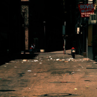
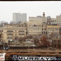
Downtown Providence in the early 1970s. Bovi's Records was an independent record store, owned by Bob Bovi, who was a contributor to the underground music scene in Providence in the 70s. He also ran a label called Bovi Records, owned another music…

http://www.ricdigitalcommons.com/temp/1232.jpg
This photograph shows the residence of former Providence Mayor, “Buddy” Cianci. The house is located on the east side of Providence, the most affluent neighborhood of the city, notable for it’s high property values and low unemployment. This…

http://www.ricdigitalcommons.com/temp/5432.jpg
  Wiggin Village is affordable, section 8 housing located in Providence, RI. The development was built in 1968. There are 285 units in the development managed by Winn Residential and governed by a board of trustees, which includes Wiggin Village…

http://www.ricdigitalcommons.com/temp/5429.jpg
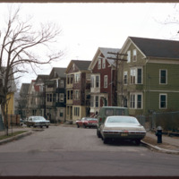
  Triple deckers photographed in the Mount Hope neighborhood of Providence.  During the later nineteenth century the Mount Hope neighborhood experienced rapid growth due to industrial activity along the nearby Moshasshuck River. Street car lines…

http://www.ricdigitalcommons.com/temp/5161.jpg
In 1986, the current Providence Station was built to replace the 1898 Union Station, as part of a redevelopment project to free up land from a mass of train tracks that had hemmed in downtown Providence. It is much smaller than its predecessor,…

http://www.ricdigitalcommons.com/temp/5187.jpg
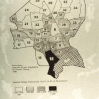
Providence population of Spanish origin by Census Tracts, 1980 Spanish Origin Population: 9,071 (5.8% of Providence) Key: white - less than 100 horizontal lines - 100-500 hatched - 500-1,000 black - more than 1,000

5144.jpg
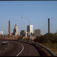
The Providence skyline, including the iconic Industrial Trust Building, pictured from Interstate 95.
Output Formats

atom, dcmes-xml, json, omeka-xml, rss2