Browse Items (993 total)

  • Collection: Chester Smolski Photographs

http://www.ricdigitalcommons.com/temp/1039.jpg
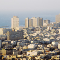
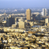
Tel Aviv is sometimes referred to as the Miami of the Middle East. Looking at this 1980 photograph it is easy to see why. The city’s architecture, much like Miami, is dominated by modernist structures in the Bauhaus and International styles. Here…

http://www.ricdigitalcommons.com/temp/0893.jpg
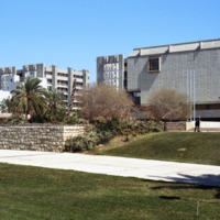
Tel Aviv University was formed by the merger of three institutions in 1956 eventually becoming Tel Aviv University in 1963. It is the largest academic institution in Israel. This 1980 photograph shows the early phases of constructing of the…
http://www.ricdigitalcommons.com/temp/0870.jpg
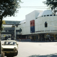
Named after the city’s first mayor, Meir Dizengoff, the Dizengoff Center was Israel’s first mall. The building was built by the architect Mordechai Ben-Horin starting in 1972. It has since been completed in 1983, but the first store opening was in…

http://www.ricdigitalcommons.com/temp/1045.jpg
The Dizengoff Center was Israel’s first mall and was built over a period of eleven years, from 1972 to 1983. The first stores opened in 1977 and today it has a total of 420 sores. The Dizengoff Center is partly blamed for declined business on nearby…

http://www.ricdigitalcommons.com/temp/0871.jpg
Seen in this picture is the large number of people that have come to enjoy the many retail offerings of the Dizengoff Center. With its 420 stores, the center welcomes around 20,000 people on weekdays and an estimated 45,000 people on Fridays. The…

http://www.ricdigitalcommons.com/temp/0864.jpg
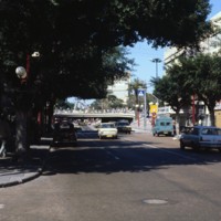
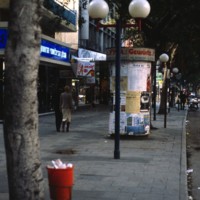
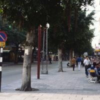
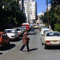
Dizengoff Street, named for Meir Dizengoff, the first mayor of Tel Aviv, is the home for designer shops and leisure in Tel Aviv. Since the 1970s the street has seen some decline, but continues to be a destination for those seeking designer fashions…

http://www.ricdigitalcommons.com/temp/0866.jpg
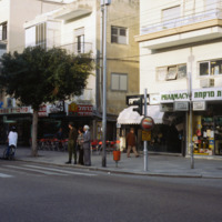
This photograph was taken at 99 Dizengoff St. in 1980. The film 99 Dizengoff had just been released the year before which perhaps prompted the taking of this photograph at this particular address. Also pictured are some of the retail clothing shops…

http://www.ricdigitalcommons.com/temp/0865.jpg
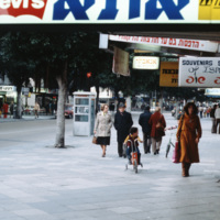
Named for Mei Dizengoff, former Mayor of Tel Aviv, Dizengoff Street was once a shopping destination for locals and tourists alike. The construction of the Dizengoff Center, a shoppoing mall, has been cited a sa reason for the areas commercial…

http://www.ricdigitalcommons.com/temp/0867.jpg
This photograph shows the cafe culture and wide sidewalks that once lead people to compare Dizengoff Street to Champs-Elysees. Since the 1970s commercial activity on the street has declined, perhaps due to the construction of the Dizengoff Center, an…
http://www.ricdigitalcommons.com/temp/1040.jpg
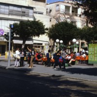
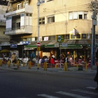
Pictured is a corner restaurant on Dizengoff Street on Israel’s weekly Shabbat (Sabbath) day. Dizengoff Street, Tel Aviv’s busiest social area is usually flowing with pedestrians and traffic, but it is evident that the crowds are reduced on this day.…
http://www.ricdigitalcommons.com/temp/0897.jpg
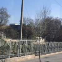
This photograph shows security fencing surrounding Tel Aviv University campus. Tel Aviv University is the largest academic institution in Israel, and was founded after the merger of three colleges in 1956.

http://www.ricdigitalcommons.com/temp/1038.jpg
The I.B.M. Building, now known as Weizmann Branch and occupied by law offices, was designed in the 1970s by the architectural firm Yasky & Partners. The buildings unique design places it on a single solid stone foundation and utilizes curved…

http://www.ricdigitalcommons.com/temp/0848.jpg
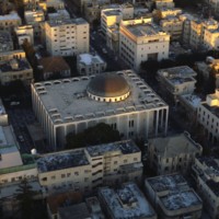
Designed in 1922 by Yehuda Magidovitch, the Great Synagogue in Tel Aviv is located east if the Shalom Tower. The building is made of concrete, glass and steel and consists of one large dome and many stained glass windows. These magnificent windows…

http://www.ricdigitalcommons.com/temp/0849.jpg
Shown in this picture is the Bauhaus architecture of Tel Aviv. This was introduced to the city during the 1920s and 1930s by German architects who moved to Palestine after the Nazi generation expanded. Bauhaus is a German modernist style of…

http://www.ricdigitalcommons.com/temp/0851.jpg
In this picture, more representations of Bauhaus architecture can be seen. This image was most likely taken in Tel Aviv’s White City, which consists of more than 5,000 of these types of buildings. The fact that Bauhaus architecture focuses mainly on…

http://www.ricdigitalcommons.com/temp/0846.jpg
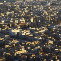
Being the second most populated city in Israel, Tel Aviv is home to a population of 404,400. Early architecture composed of single-story European-style buildings with tiled red roofs. The 1920s brought on a different style to homes that were designed…

http://www.ricdigitalcommons.com/temp/0850.jpg
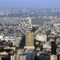
Amongst the dense housing in Tel Aviv, the Shalom Tower can be seen in the center of this image. The tower, also called Migdal Shalom, is considered one of the tallest and most modern buildings in all of Europe and Asia. It stands 142 meters tall and…

http://www.ricdigitalcommons.com/temp/0852.jpg
Tel Aviv has the largest collection of architecture in the International of any city in the world. This photograph is an example of housing built in the Bauhaus style, a style developed in pre-Nazi Germany. Because of the climate in Tel Aviv, the…

http://www.ricdigitalcommons.com/temp/0873.jpg
The Geddes Plan, which drew influence from the garden city movement, is illustrated in this photograph of a residential street in Tel Aviv. Drafted in 1926 and put into effect in 1927, the plan favoured the city dweller, regulating everything from…

http://www.ricdigitalcommons.com/temp/0888.jpg
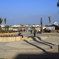
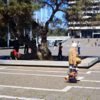
Proposed by city engineer Yaacov Ben Sera in 1945, Machei Israel Square was transformed over two decades from a place of recreation to the civic heart of modern Tel Aviv. This photograph show’s the plaza and Menahem Cohen’s city hall. The city hall…

http://www.ricdigitalcommons.com/temp/0887.jpg
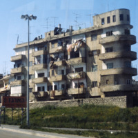
Following Israel’s independence concrete tenement houses were quickly constructed to accommodate large numbers of refugee’s living in ma’abarot, refugee tent camps. This 1980 photograph of Machei Israel Square also shows some of these modernist…

http://www.ricdigitalcommons.com/temp/0863.jpg
This photograph shows Metzudat Ze’ev, an office building in Tel Aviv named for Vladimir Jabotinsky. Jabotinksy was a leader of the right-wing, anti-socialist movement within Zionism. Jabotinsky argued that the future of the Jewish state depended on…

http://www.ricdigitalcommons.com/temp/0872.jpg
The International style dominates residential structures in Tel Aviv developed between the 1920s and 1960s. Patrick Geddes, at the request of Mayor Dizengoff, drafted a plan for the city that was adjusted for the comfort of the pedestrian. This…

http://www.ricdigitalcommons.com/temp/0895.jpg
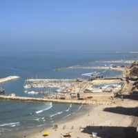
The Tel Aviv Beach was developed into a resort after it’s economic potential was realized by Mayor Dizengoff in the 1930s. Originally the development was to follow the Gruenblatt plan, which followed the Geddes plan for the city, but planned to…

http://www.ricdigitalcommons.com/temp/0899.jpg
Beit Hatfutsot, the Museum of the Jewish Diaspora was designed by Eliahu Gwircmann and Itzhak Yashar after winning an international competition judged by a panel headed by Miles van der Rohe. Opened in 1978, the museum, located on Tel Aviv…

http://www.ricdigitalcommons.com/temp/0882.jpg
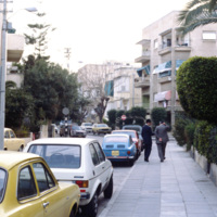
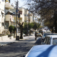
This photograph of a residential street in Tel Aviv shows traces of Scottish planner Patrick Geddes plan in the narrow street and the patches of greenery. The Geddes Plan, drafted in 1926, attempted to design Tel Aviv in the style of garden cities, a…

http://www.ricdigitalcommons.com/temp/0436.jpg
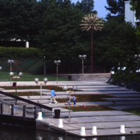
  The Tree of Life sculpture, commonly referred to as the “People Tree”, is the symbol of Columbia Maryland. The community consists of ten self-contained villages which were established in the late 1960s by The Rouse Company, a development firm…

http://www.ricdigitalcommons.com/temp/5197.jpg
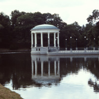
On Roosevelt Lake behind the Casino at Roger Williams Park sits the bandstand (John Hutchins Cady, 1915). According to Jordy, this classical revival structure has an “open, colonnaded Ionic rotunda as the climax of a metal-fenced, masonry platform…

http://www.ricdigitalcommons.com/temp/5030.jpg
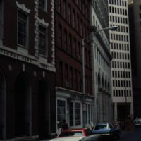
The Blackstone Block resided between the Providence National Bank and the Turk's Head Building. It was a work of the architect James C. Bucklin, whose other works include the Providence Arcade and the Monohassett Mill. The Blackstone Block was a…

http://www.ricdigitalcommons.com/temp/4977.jpg
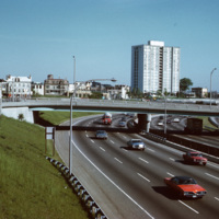
A view of the (then called) Bradford House from Interstate 95 in Providence. Completed in 1966, the building is one of several high-rise towers that was built around the city for elderly residents. As of 2015, the building is known as the Sister…

http://www.ricdigitalcommons.com/temp/5336.jpg
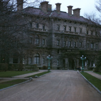
  The Breakers is the grandest of Newport's summer "cottages" and a symbol of the Vanderbilt family's social and financial preeminence in turn of the century America. Cornelius Vanderbilt II purchased a wooden house called The Breakers in Newport. In…

http://www.ricdigitalcommons.com/temp/5047.jpg
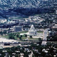
Aerial image of downtown Providence featuring the Rhode Island State House at the center. The Rhode Island State House was built in 1904, designed by McKim, Mead & White. The building's self-supporting marble dome is the fourth-largest of its kind in…

http://www.ricdigitalcommons.com/temp/5048.jpg
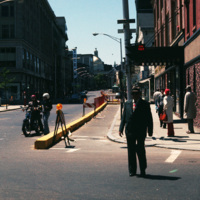
Looking up Weybosset St. from the corner of Dorrance and Weybosset. There is minor street construction occurring, and the Beneficent Congregational Church can be seen in the distance. The church was built in 1809 and remodeled to its current…

http://www.ricdigitalcommons.com/temp/4894.jpg
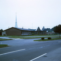
Two churches in the planned township of Willingboro: The Delaware Valley Baptist Church, and the Presbyterian church of Willingboro. As of 2016, there are more than 23 different churches in the area that are accessible to Willingboro residents.…

http://www.ricdigitalcommons.com/temp/0555.jpg
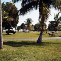
The Everglades is a popular destination for campers and those with mobile homes. This unidentified Everglades campground was photographed in 1978 and shows a different side of Miami’s tourism industry.

http://www.ricdigitalcommons.com/temp/0553.jpg
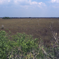
This photograph from the Everglades shows a key element of this unique environment, the sawgrass prairie. Sawgrass thrives in the shallow slow moving water that occupies much of the southern portion of the Florida peninsula. Although not much else…

http://www.ricdigitalcommons.com/temp/0434.jpg
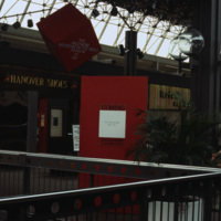
An interior photograph of the Columbia Mall in Columbia Maryland displays the glass ceiling that creates an atrium effect for shoppers. The globe-shaped lanterns are repeated on the mall’s exterior walks.  The Mall in Columbia is part of a planned…

http://www.ricdigitalcommons.com/temp/4970.jpg
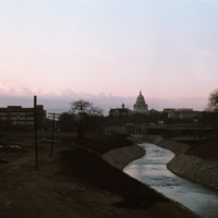
The Moshassuck River in Providence near the Rhode Island State House.

5457.jpg
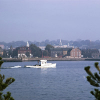
Newport’s wharfs, from Long Wharf to Perry Mill evolved, from the late 1960s through the 1980s into a hectic carnival of boutiques, eateries, and hotels. A deliberately nondescript wharf-like vernacular has been cultivated even for outsized hotels,…

http://www.ricdigitalcommons.com/temp/4898.jpg
Pictured are two churches in Willingboro that are next to each other- The Delaware Valley Baptist Church, and the Presbyterian church of Willingboro. As of 2016, there are more than 23 different churches in the area that are accessible to Willingboro…

http://www.ricdigitalcommons.com/temp/0438.jpg
  The Rouse Company, a development firm headed by James Rouse, is responsible for the creation of Columbia, Maryland. The community consists of ten self-contained villages which were established in the late 1960s.  (date of photograph has been…

http://www.ricdigitalcommons.com/temp/0469.jpg
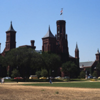
The original home of the Smithsonian Institute was built by architect James Renwick, Jr. The Romanesque style building, referred to as the “Castle”, is located on the National Mall in Washington and was commissioned in 1846. The structure was built…

http://www.ricdigitalcommons.com/temp/0481.jpg
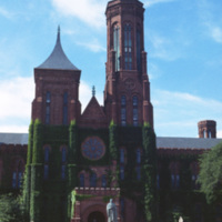
The original home of the Smithsonian Institute was built by architect James Renwick, Jr. The Romanesque style building, referred to as the “Castle”, is located on the National Mall in Washington and was commissioned in 1846. The structure was built…

http://www.ricdigitalcommons.com/temp/5306.jpg
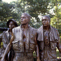
The Three Servicemen statue is the result of the controversy surrounding Maya Ying Lin's design of the Vietnam Veterans Memorial. Some veterans and their political supporters felt that The Wall was "a black gash of shame" or a "giant tombstone." It…

http://www.ricdigitalcommons.com/temp/0484.jpg
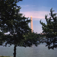
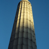
The Washington Monument, the most prominent fixture in the D.C. skyline, was completed in 1884 in honor of the first American president, George Washington. The monument stands over 555 ft tall and offers views over thirty miles. A design competition…

http://www.ricdigitalcommons.com/temp/5499.jpg
  The World War I Monument designed and created by architect Paul P. Cret and sculptors C.P. Jennewein and Janet de Coux stands before the Providence County Courthouse on Benefit St. The monument, originally located in Post Office Square (renamed…

http://www.ricdigitalcommons.com/temp/5220.jpg
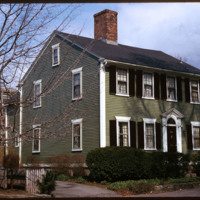
Woodward describes the Thomas Aldrich House as an asymmetrical four bay Federal style house. It was moved to Power Street from 39 Benevolent Street in 1950 to make room for the Wriston Quadrangle of Brown University. While it was built by Aldrich, a…

http://www.ricdigitalcommons.com/temp/5468.jpg
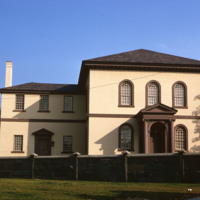
The building, the oldest Synagogue in the US, is angled to the street on a rise so that the ark inside faces Jerusalem. Only the elegance of the entrance porch, with arching inside a pedimented Ionic enclosure and the same generous spread of stairs…

5122.jpg
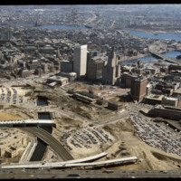
This image shows the transformation of Capital Center in progress. Francis Street construction is complete up until the over-passed train tracks and the bridge over the Woonasquatucket River. The former train tracks have been removed, but the land…

http://www.ricdigitalcommons.com/temp/5539.jpg
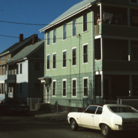
  Triple decker housing in the densely populated area of Central Falls, Rhode Island.  (date of photograph is approximated)
Output Formats

atom, dcmes-xml, json, omeka-xml, rss2