Browse Items (1954 total)

http://www.ricdigitalcommons.com/Baxter_temp/CV-81-051.jpg
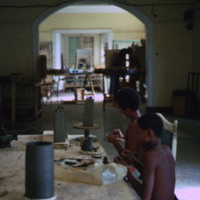
Young boys in Mindelo make government supported pottery for marketing to tourists.

http://www.ricdigitalcommons.com/temp/0594.jpg
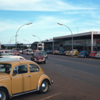
Brasilia is a planned city that has been both criticized as a failed utopia acclaimed as a masterpiece of modernist architecture. The city is mapped out into sections forming the shape of a bird or airplane. This photograph is taken in one of…

http://www.ricdigitalcommons.com/temp/0592.jpg
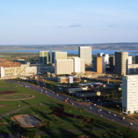
This photograph faces south east across Brasilia’s Monumental Access. The photograph was taken from the TV Tower. Prominent in the left middle ground is the Praça dos Aposentados, a housing complex for retired persons. Just behind that is the…

http://www.ricdigitalcommons.com/temp/0605.jpg
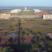
This east facing view of Brasilia was photographed from the TV Tower. This photograph illustrates the layout of the city, which was planned in the shape of a bird. At the center of the photograph is the National Congress Building, with it’s twin…

http://www.ricdigitalcommons.com/temp/0604.jpg
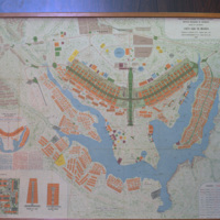
This 1969 map of Brasilia show’s the bird-like shape of the city as designed by Lucia Costa. He was hired by President Juscelino Kubitschek to design the city in what had previously been a waste land with scarce water, animals, plants or people.

http://www.ricdigitalcommons.com/temp/0599.jpg
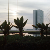
Designed by Oscar Niemeyer, the National Congress Building is a masterpiece among the many of his works in the Brazilian modernist style. This unique layout separates the Senate and the Chamber of Deputies into two separate semi-speherical…

http://www.ricdigitalcommons.com/temp/0603.jpg
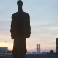
From the Catedral de Brasilia, this photograph looks west toward the National Congress Building. In the foreground is one of the statues, distinctly modernist that line the entry to the Catedral. Both the Catedral de Brasilia and the National…

http://www.ricdigitalcommons.com/temp/0591.jpg
This south facing view of Brasilia looks across the ‘wings’ of the city into the planned residential neighborhoods. The modernist architecture, designed by Oscar Niemeyer, dominates the city. In the foreground of the photograph is a subway station…

http://www.ricdigitalcommons.com/temp/0606.jpg
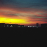
The silhouettes of Oscar Niemeyer’s public architecture create the horizon of this Brasilia sunset photographed by Chet Smolski in 1974. Niemeyer’s distinctly shaped buildings are a symbol of Brasilia. Note the top of the Catedral de Brasilia…

http://www.ricdigitalcommons.com/temp/0596.jpg
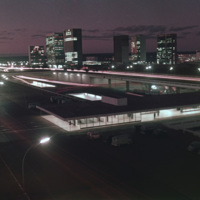
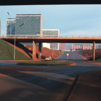
This photograph looks west on Brasilia’s Monumental Axis under the overpasses of the North and South Roads, where the bus and subway terminals are located. Smolski notes on the slide the choice to install roundabouts rather than traffic signals.

http://www.ricdigitalcommons.com/temp/0590.jpg
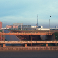
Looking west down Brasilia’s Monumental Axis Smolski capture’s an array of modernist architecture. Of note, to the left is Correios, the national headquarters for Brazil’s postal service. Prominent in the center right of the photograph is Brasilia’s…

http://www.ricdigitalcommons.com/Baxter_temp/CV-81-346.jpg
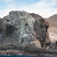
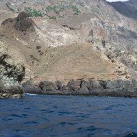
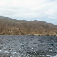
The rocky and steep coastline of Brava photographed during a journey by small boat from Faj

http://www.ricdigitalcommons.com/Baxter_temp/CV-81-348.jpg
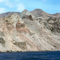
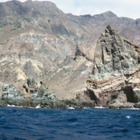
Brava's dramatic coastline photographed during a journey by small boat from Faj

http://www.ricdigitalcommons.com/Baxter_temp/CV-81-351.jpg
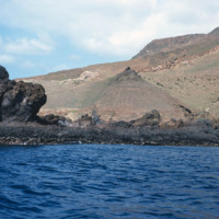
Brava's dramatic coastline photographed during a journey by small boat from Faj

http://www.ricdigitalcommons.com/Baxter_temp/CV-81-347.jpg
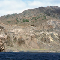
Brava's varied, but always rocky, coastline photographed during a journey by small boat from Faj

http://www.ricdigitalcommons.com/Baxter_temp/CV-81-349.jpg
Brava's dramatic coastline photographed during a journey by small boat from Faj

http://www.ricdigitalcommons.com/Baxter_temp/CV-81-315.jpg
The coastline of Brava is photographed from a boat that has voyaged from Fogo. On the right of the frame you can see the port city of Furna.

http://www.ricdigitalcommons.com/Baxter_temp/CV-81-350.jpg
Brava's dramatic coastline photographed during a journey by small boat from Faj

http://www.ricdigitalcommons.com/Baxter_temp/CV-81-333.jpg
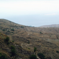
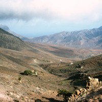
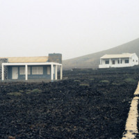
Brava landscape taken in the mist of the elevated tableland that makes up most of the island. This photograph was taken during an overland journey by truck from Nova Sintra to Fajã d'Água.

http://www.ricdigitalcommons.com/Baxter_temp/CV-81-357.jpg
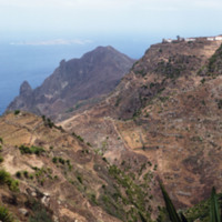
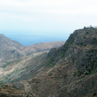
A long elevated view of Brava's landscape shows one of the more mountainous sections of the island, most of which is an elevated by relatively flat tableland. On the horizon Ilhéu da Areia, a small islet north of Fajã d'Água, can be seen through the…

http://www.ricdigitalcommons.com/Baxter_temp/CV-81-332.jpg
The tableland of Brava is photographed during a journey between Nova Sintra and Fajã d'Água. The high elevation of the islands interior is evidenced by the clouds.

http://www.ricdigitalcommons.com/Baxter_temp/CV-81-355.jpg
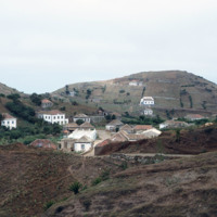
A dirt road winds up the steep mountainous terrain of Brava to a small, unidentified, village.

JM-LFH-19800207-P06 copy.jpg
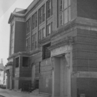
Built in 1915, the Bridgham Junior High School at 10 Pierce Street has a granite entrance and granite string courses in brick walls. The school had severely been in need of construction at the time of Parents for a New Bridgham's petitioning for a…

http://www.ricdigitalcommons.com/temp/1249.jpg
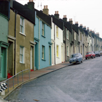
This photograph shows houses near Albion Hill in Brighton. The houses were originally made in the early 19th century of substandard material which quickly deteriorated into slums. In the 1930s redevelopment of the area began.

http://www.ricdigitalcommons.com/temp/5470.jpg
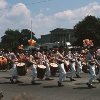
  The annual 4th of July parade held in Bristol, RI. Bristol has partaken in celebrating our national independence since 1785, earning the title of the “Home of America’s Oldest Forth of July Celebration”. Here, the Colonial Navy of Massachusetts on…

http://www.ricdigitalcommons.com/temp/4800.jpg
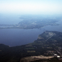
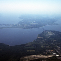
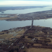
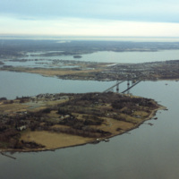
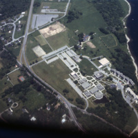
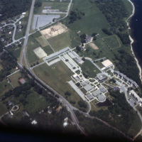
Aerial image of Roger Williams University and the Mount Hope Bridge in Bristol, Rhode Island. The Mount Hope Bridge was constructed between 1927 and 1929. In 1956, the college purchased this waterfront land just north of the bridge in Bristol and…

http://www.ricdigitalcommons.com/temp/4800.jpg
Aerial image of Roger Williams University and the Mount Hope Bridge in Bristol, Rhode Island. The Mount Hope Bridge was constructed between 1927 and 1929. In 1956, the college purchased this waterfront land just north of the bridge in Bristol and…

http://www.ricdigitalcommons.com/temp/4870.jpg
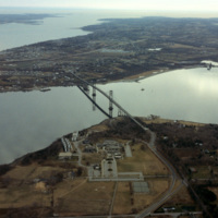
Aerial image of Roger Williams University and the Mount Hope Bridge in Bristol, Rhode Island when the school was still called Roger Williams College. The Mount Hope Bridge was constructed between 1927 and 1929. In 1956, the college purchased this…

http://www.ricdigitalcommons.com/temp/4871.jpg
Aerial image of Roger Williams University and the Mount Hope Bridge in Bristol, Rhode Island when the school was still called Roger Williams College. The Mount Hope Bridge was constructed between 1927 and 1929. In 1956, the college purchased this…

http://www.ricdigitalcommons.com/temp/4872.jpg
Aerial image of Roger Williams University and the Mount Hope Bridge in Bristol, Rhode Island when the school was still called Roger Williams College. The Mount Hope Bridge was constructed between 1927 and 1929. In 1956, the college purchased this…

http://www.ricdigitalcommons.com/temp/4874.jpg
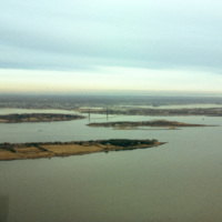
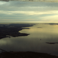
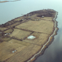
A view across Narragansett Bay, looking towards Prudence Island and the East Passage. Prudence Island is one of the largest islands in the bay. There are approximately thirty islands in the bay, and over ten different rivers flow into it from around…

http://www.ricdigitalcommons.com/temp/4877.jpg
A view across Narragansett Bay, looking towards Prudence Island and the East Passage. Prudence Island is one of the largest islands in the bay. There are approximately thirty islands in the bay, and over ten different rivers flow into it from around…

http://www.ricdigitalcommons.com/temp/4873.jpg
Poppasquash Point in Bristol, RI is home to the English-inspired, Tudor-revival, country estate known as Point Pleasant and Point Pleasant Farm. It overlooks the Bristol Harbor and provides a view of Narragansett Bay. The estate is of particular…

http://www.ricdigitalcommons.com/temp/4799.jpg
Aerial image of Roger Williams University in Bristol, Rhode Island when the school was still called Roger Williams College. In 1956 the college purchased this waterfront land in Bristol and became a two-year institution named Roger Williams Junior…

http://www.ricdigitalcommons.com/temp/4799.jpg
Aerial image of Roger Williams University in Bristol, Rhode Island when the school was still called Roger Williams College. In 1956 the college purchased this waterfront land in Bristol and became a two-year institution named Roger Williams Junior…

http://www.ricdigitalcommons.com/temp/0711.jpg
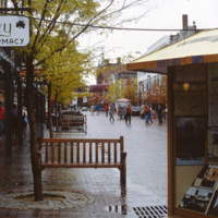
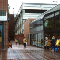
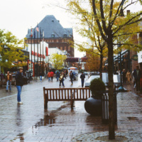
The Burlington Square Mall, now known as the Church Street Marketplace, is the center of town in Burlington, Vermont. It is a four block pedestrian mall, and a cultural and commercial hub of the city.

http://www.ricdigitalcommons.com/temp/0708.jpg
Constructed in 1972, the Burlington Square mall is a four-block pedestrian mall in Burlington, Vermont.

http://www.ricdigitalcommons.com/temp/0710.jpg
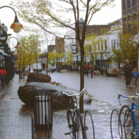
The Burlington Square Mall, now known as the Church Street Marketplace, is the center of town in Burlington, Vermont. It is a four block pedestrian mall, and a cultural and economic hub of the city.

http://www.ricdigitalcommons.com/temp/0709.jpg
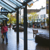
Burlington Square Mall, now known as Church Street Marketplace, is photographed here in 1983. Built in 1972, it is a pedestrian mall in the heart of downtown Burlington. The Church Street Marketplace hosts yearly art festivals, street performers and…

http://www.ricdigitalcommons.com/temp/0713.jpg
A street view of Burlington’s Church Street Marketplace, a four block pedestrian open air mall. It was established in 1972 as the Burlington Square Mall.

http://www.ricdigitalcommons.com/temp/0712.jpg
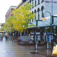
Looking north on Church Street, the Masonic Temple, designed by Wilson Brothers & Company, towers over the Burlington Square Mall, now known as the Church Street Marketplace. It is a pedestrian mall that occupies four blocks in Burlington opened…

http://www.ricdigitalcommons.com/temp/0791.jpg
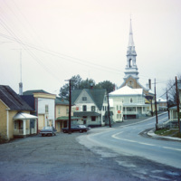
Cabano is a small town in the Canadian province of Quebec. In the twentieth century it experienced several devestating fires. In 1950 a fire destroyed over 100 homes. This 1965 photograph shows a house with a ladder on the roof, a fire prevention…

http://www.ricdigitalcommons.com/Baxter_temp/CV-81-360.jpg
Cachaço photographed by David Baxter after journeying from Fajã d'Água with his guide Eduardo (Dudu) Camilo. Cachaço is a small vila about 5 km south of Nova Sintra.

http://www.ricdigitalcommons.com/Baxter_temp/CV-88-130.jpg
A typical Sunday at Calhau, a popular weekend vacation spot about 12 miles from Mindelo. Note that black volcanic pumice dominates the landscape.

http://www.ricdigitalcommons.com/Baxter_temp/CV-89-057.jpg
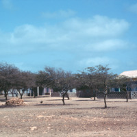
A view of a village, believed to be Calheta located a few miles north of Vila do Maio.

http://www.ricdigitalcommons.com/Baxter_temp/CV-89-071.jpg
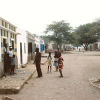
Residents of a village in, what is believed to be, Calheta, a small, coastal village. The streets are lined with homes, many of which are concrete but some are older stone houses.

JM-IAIRI-197XXXXX-57-ED.jpg
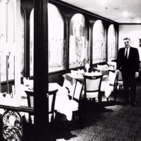
Jack Parolisi, son of the founder of Camille's Roman Gardens at 71 Bradford Street in Providence, is shown in the main dining room of Camille's. This restaurant was founded in 1914 and has continued as a family business ever since. It has one of the…

http://www.ricdigitalcommons.com/Baxter_temp/CV-83-007.jpg
A typical scene of recreation and relaxation at Baia das gatas, a popular weekend resort for both São Vicente residents and tourists alike. It is located about eight miles west of Mindelo, the largest and only city on São Vicente.

http://www.ricdigitalcommons.com/Baxter_temp/CV-88-059.jpg
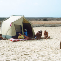
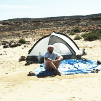
David Baxter revisits Praia Curralinho in 1988, this time with a dome tent.
Output Formats

atom, dcmes-xml, json, omeka-xml, rss2