Browse Items (1954 total)

http://www.ricdigitalcommons.com/temp/4859.jpg
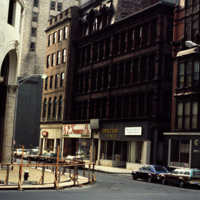
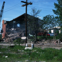
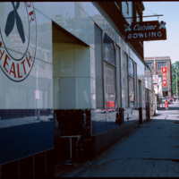
From 1927 to 1928, the building at 180 Pine Street was occupied by Boston Radiator/Rock and Englebrook Bowling. The building is a large, two story, flat-roofed, brick and concrete building that once had a simple parapet covering its facade. From 1929…

http://www.ricdigitalcommons.com/temp/4861.jpg
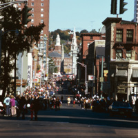
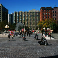
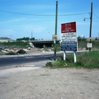
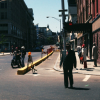
A street celebration on Washington St, in honor of Columbus Day. As of 2015, Washington St. is home to the popular music venue Lupo's Heartbreak of Hotel, the historical Providence Public Library, the Trinity Repertory Company, and the University of…

http://www.ricdigitalcommons.com/temp/4863.jpg
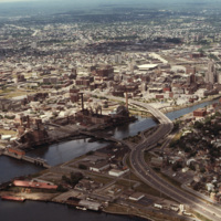
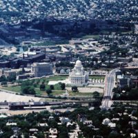
Downtown Providence from above, looking west across the Providence River into the cityscape. This 1976 view shows how Interstate 195 used to divide the city and occupy crucial downtown real estate. It was relocated in the 2000s to follow a more…

http://www.ricdigitalcommons.com/temp/4865.jpg
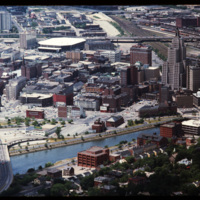
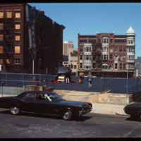
This 1970s view of Providence shows how the former route of Interstate 195, along with the railroad yard behind Union Station, isolated downtown Providence from the surrounding neighborhoods.

http://www.ricdigitalcommons.com/temp/4903.jpg
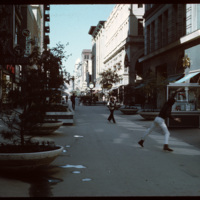
In the early 1960s this section of Westminster street was closed to vehicular traffic and became a pedestrian mall. Pictured here in 1970, a game of Frisbee takes place while shoppers traverse closer to the buildings. In 1986 the street was opened…

http://www.ricdigitalcommons.com/temp/4905.jpg
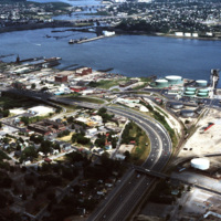
The northernmost points of Narragansett Bay, where it is fed by the Providence and Seekonk Rivers. The Port of Providence and Interstate 95 are in the foreground of the photograph. The construction of Interstate 95 effectively segregated Providence…

http://www.ricdigitalcommons.com/temp/4906.jpg
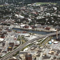
The Providence River separates the Downtown and East Side neighborhoods of Providence. The East Side is home to Brown University, and Rhode Island School of Design. Roger Williams founded Providence along College Hill, thus the East Side contains…

http://www.ricdigitalcommons.com/temp/4907.jpg
The Providence River separates the Downtown and East Side neighborhoods of Providence. The East Side is home to Brown University, and Rhode Island School of Design. Roger Williams founded Providence along College Hill, thus the East Side contains…

http://www.ricdigitalcommons.com/temp/4909.jpg
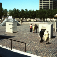
Several sculptures on Cathedral Square. This square was designed by I.M. Pei and Zion & Breen in 1969. It was intended to become a popular plaza but nothing more was added to the space and so it remained empty.

http://www.ricdigitalcommons.com/temp/4910.jpg
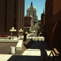
Cathedral Square was designed by I.M. Pei and Zion & Breen in 1969. It was intended to become a popular plaza but nothing more was added to the space and so it remained empty, supplying only sitting room for pedestrians.

http://www.ricdigitalcommons.com/temp/4911.jpg
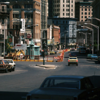
Street construction taking place on Weybosset St. in the late 1970s.

Weybosset St. is a part of the cultural core that is downtown Providence, connecting to Westminster St. and Empire St., Weybosset is home to the Providence Performing Arts Center…

http://www.ricdigitalcommons.com/temp/4969.jpg
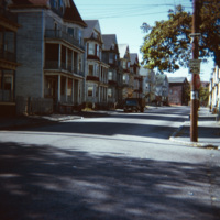
"Ubiquitous triple-deckers," in Providence, as noted by Professor Smolski. This area of South Providence was identified as a "blighted" neighborhood in the 1970s, and much of it, including the neighborhood in this image, has since been demolished and…

http://www.ricdigitalcommons.com/temp/4970.jpg
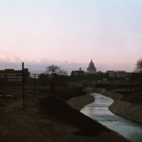
The Moshassuck River in Providence near the Rhode Island State House.

http://www.ricdigitalcommons.com/temp/4977.jpg
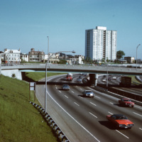
A view of the (then called) Bradford House from Interstate 95 in Providence. Completed in 1966, the building is one of several high-rise towers that was built around the city for elderly residents. As of 2015, the building is known as the Sister…

4978.jpg
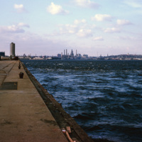
A view of downtown Providence from the city pier, across the Providence River.

http://www.ricdigitalcommons.com/temp/4979.jpg
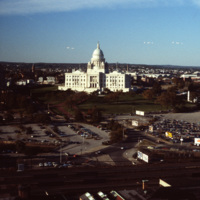
The Rhode Island State House was built in 1904, designed by McKim, Mead & White. The building's self-supporting marble dome is the fourth-largest of its kind in the world, following after only the Taj Mahal, St. Peter's Basilica, and the Minnesota…

http://www.ricdigitalcommons.com/temp/4981.jpg
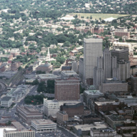
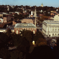
This shot overlooks the residential hills of East Providence as well as College Hill. In the middle, one can see the tower of the First Baptist Church -- to the right, the green dome of the First Church of Christ, Scientist on the horizon.

http://www.ricdigitalcommons.com/temp/5028.jpg
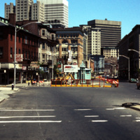
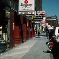
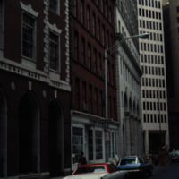
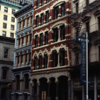
Street scene of Richmond St near the corner of Richmond St and Pine St in downtown Providence.


http://www.ricdigitalcommons.com/temp/5029.jpg
Downtown Providence, on the corner of Weybosset St and Westminster St.
Pictured on the left is the Turk's Head Building with some minor street construction in front of it. The Turk's Head Building was constructed in 1913 by the Brown Land Co. At…

http://www.ricdigitalcommons.com/temp/5030.jpg
The Blackstone Block resided between the Providence National Bank and the Turk's Head Building. It was a work of the architect James C. Bucklin, whose other works include the Providence Arcade and the Monohassett Mill. The Blackstone Block was a…

http://www.ricdigitalcommons.com/temp/5031.jpg
Street construction taking place on Weybosset St. in the late 1970s.

Weybosset St. is a part of the cultural core that is downtown Providence, connecting to Westminster St. and Empire St. on opposing corners. As of 2015, Weybosset is home to the…

http://www.ricdigitalcommons.com/temp/5032.jpg
Cathedral Square on Columbus Day, 1974.

http://www.ricdigitalcommons.com/temp/5033.jpg
Home to the Davol Rubber Co. from 1884 until 1977, the Davol Square complex was rehabilitated and reopened for mixed retail and office use in 1982, with shops, offices, and restaurants. However, despite high occupancy and easy highway access, the…

http://www.ricdigitalcommons.com/temp/5034.jpg
Home to the Davol Rubber Co. from 1884 until 1977, the Davol Square complex was rehabilitated and reopened for mixed retail and office use in 1982, with shops, offices, and restaurants. However, despite high occupancy and easy highway access, the…

http://www.ricdigitalcommons.com/temp/5035.jpg
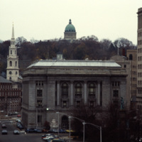
A view into the residential area of East Providence, overlooking the Federal Building and Kennedy Plaza. The First Baptist Church is on the left, and the green dome of the First Church of Christ, Scientist is rising through the skyline.

The Federal…

http://www.ricdigitalcommons.com/temp/5036.jpg
Pictured on the left, the Equitable Building (1872, 36 Weybosset St.) features a locally cast iron "Venetian" facade that is the best preserved of the few cast-iron facades in the city. The facade was cast by the Builders Iron Foundry. The design of…

http://www.ricdigitalcommons.com/temp/5039.jpg
What appears to be a semi-trailor truck has caused the upper level of this Weybosset Street parking complex to collapse. This photograph was taken before the construction of the Federal Center on Westminster Street, and therefore provides a clear…

http://www.ricdigitalcommons.com/temp/5040.jpg
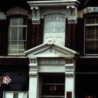
Detail of the Hall's Building on Weybossett Street showing the storefront prior to restoration in 1981. The Hall's Building is a cast-iron, five story structure built in the Victorian Gothic style. This detail shows the corbel-and-bracketed cornice…

http://www.ricdigitalcommons.com/temp/5042.jpg
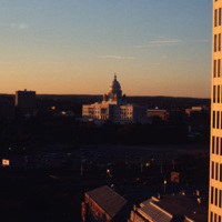
Downtown Providence featuring the Rhode Island State House at the center. The Rhode Island State House was built in 1904, designed by McKim, Mead & White. The building's self-supporting marble dome is the fourth-largest of its kind in the world,…

http://www.ricdigitalcommons.com/temp/5044.jpg
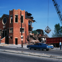
The Randall Square synagogue was demolished as part of a large land clearing in order to make room for light manufacturing, commercial development and the Marriott Hotel.

http://www.ricdigitalcommons.com/temp/5045.jpg
Randall Sqare in the midst of its redevelopment after it was demolished in 1971 as part of a large land clearing in order to make room for light manufacturing, commercial development and the Marriott Hotel.

http://www.ricdigitalcommons.com/temp/5047.jpg
Aerial image of downtown Providence featuring the Rhode Island State House at the center. The Rhode Island State House was built in 1904, designed by McKim, Mead & White. The building's self-supporting marble dome is the fourth-largest of its kind in…

http://www.ricdigitalcommons.com/temp/5048.jpg
Looking up Weybosset St. from the corner of Dorrance and Weybosset. There is minor street construction occurring, and the Beneficent Congregational Church can be seen in the distance. The church was built in 1809 and remodeled to its current…

http://www.ricdigitalcommons.com/temp/5049.jpg
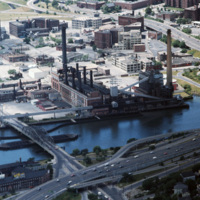
The Narragansett Electric Lighting Company had buildings on Eddy St. (pictured) and on Manchester St. They were once connected by an overhead conveyor belt, but no longer are. The Eddy St. building is no longer active as a power plant, and was…

http://www.ricdigitalcommons.com/temp/5050.jpg
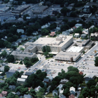
Aerial image of The Miriam Hospital in Providence. The first Miriam Hospital opened in 1926 with 63 beds and 14 bassinets but was relocated for more space to its location on Summit Avenue in 1952. The hospital was started by a group of Jewish woman…

http://www.ricdigitalcommons.com/temp/5051.jpg
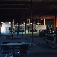
The interior of the Moshassuck Arcade. The building was part of the Bay State Mill, which was part of a complex including the American Screw Company. Many of the surrounding buildings in the complex were destroyed by fire in 1971. The Moshassuck…

http://www.ricdigitalcommons.com/temp/5053.jpg
The Randall Square synagogue was demolished as part of a large land clearing in order to make room for light manufacturing, commercial development, and the Marriott Hotel.

http://www.ricdigitalcommons.com/temp/5251.jpg
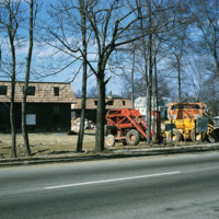
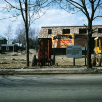
The new establishment of an apartment housing community in Taunton, MA. The sign reads: Canterburry Apartments at Taunton. An example of urban development in Massachusetts in the early 1970s.

http://www.ricdigitalcommons.com/temp/5252.jpg
The new establishment of an apartment housing community in Taunton, MA. The sign reads: Canterburry Apartments at Taunton. An example of urban development in Massachusetts in the early 1970s.

http://www.ricdigitalcommons.com/temp/4799.jpg
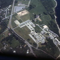
Aerial image of Roger Williams University in Bristol, Rhode Island when the school was still called Roger Williams College. In 1956 the college purchased this waterfront land in Bristol and became a two-year institution named Roger Williams Junior…

http://www.ricdigitalcommons.com/temp/4800.jpg
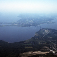
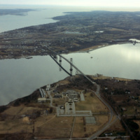
Aerial image of Roger Williams University and the Mount Hope Bridge in Bristol, Rhode Island. The Mount Hope Bridge was constructed between 1927 and 1929. In 1956, the college purchased this waterfront land just north of the bridge in Bristol and…

http://www.ricdigitalcommons.com/temp/4810.jpg
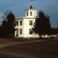
This early Victorian, two-story, wood-frame octagonal home was built in 1857 by watchmaker Albert S. Potter. As of 2016, the house is owned by the Carolina Preservation and Band Society and is listed as a landmark in the National Register of Historic…

http://www.ricdigitalcommons.com/temp/4870.jpg
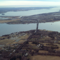
Aerial image of Roger Williams University and the Mount Hope Bridge in Bristol, Rhode Island when the school was still called Roger Williams College. The Mount Hope Bridge was constructed between 1927 and 1929. In 1956, the college purchased this…

http://www.ricdigitalcommons.com/temp/4871.jpg
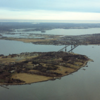
Aerial image of Roger Williams University and the Mount Hope Bridge in Bristol, Rhode Island when the school was still called Roger Williams College. The Mount Hope Bridge was constructed between 1927 and 1929. In 1956, the college purchased this…

http://www.ricdigitalcommons.com/temp/4872.jpg
Aerial image of Roger Williams University and the Mount Hope Bridge in Bristol, Rhode Island when the school was still called Roger Williams College. The Mount Hope Bridge was constructed between 1927 and 1929. In 1956, the college purchased this…

http://www.ricdigitalcommons.com/temp/4873.jpg
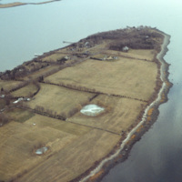
Poppasquash Point in Bristol, RI is home to the English-inspired, Tudor-revival, country estate known as Point Pleasant and Point Pleasant Farm. It overlooks the Bristol Harbor and provides a view of Narragansett Bay. The estate is of particular…

http://www.ricdigitalcommons.com/temp/4874.jpg
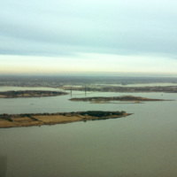
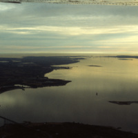
A view across Narragansett Bay, looking towards Prudence Island and the East Passage. Prudence Island is one of the largest islands in the bay. There are approximately thirty islands in the bay, and over ten different rivers flow into it from around…

http://www.ricdigitalcommons.com/temp/4877.jpg
A view across Narragansett Bay, looking towards Prudence Island and the East Passage. Prudence Island is one of the largest islands in the bay. There are approximately thirty islands in the bay, and over ten different rivers flow into it from around…

http://www.ricdigitalcommons.com/temp/4878.jpg
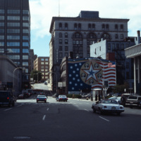
Foster St. in downtown Worcester, Massachusetts photographed in 1979. The mural to the right was painted by Sante Graziani (1920-2005), who was the head of the School at the Worcester Art Museum from 1951-1972 and its dean from 1972-1981. The mural…

http://www.ricdigitalcommons.com/temp/4879.jpg
Worcester City Hall photographed from an office building at 120 Front Street.

Worcester City Hall opened in 1898, and features aspects of the Italianate Renaissance Revival style, such as its projecting porches, window balconies, and grand central…
Output Formats

atom, dcmes-xml, json, omeka-xml, rss2