Browse Items (1954 total)

http://www.ricdigitalcommons.com/Baxter_temp/CV-88-070.jpg
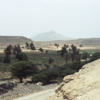
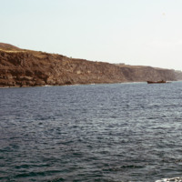
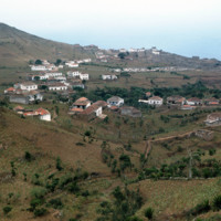
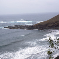
On the road returning to Sal Rei, David Baxter snaps a photo of one of the more mountainous areas on Boa Vista.

http://www.ricdigitalcommons.com/Baxter_temp/CV-85-049.jpg
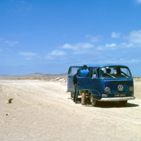
Journey in a Volkswagon minibus across the arid interior of Boa Vista on the way to Praia Curralhino, also known as Praia Santa Monica. Note that despite extreme drought conditions, there is a presence of goats, donkeys and the occasional bovine.…

http://www.ricdigitalcommons.com/Baxter_temp/CV-88-007.jpg
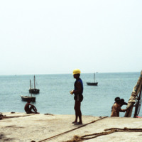
Taken from the Port of Sal Rei, this photo shows, including an unidentified dockworker with a hardhat and a docked vessel to the right.
http://www.ricdigitalcommons.com/temp/5149.jpg
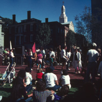
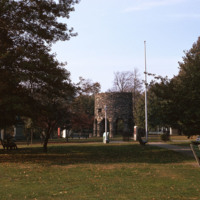
The park beside the Old Stone Square Building is the result of a corporate lawsuit forcing Barnes to limit his appropriation of the views of historic South Main Street. The outcome of the suit was the creation of a public space that rehabilitated the…

http://www.ricdigitalcommons.com/temp/5466.jpg
  Sometimes speculated as the  the work of Vikings, built around the year 1000, or the Chinese in 1426-28, the stone mill has fascinated historians for centuries. Another attribution is to the Portuguese explorer Miguel Corte-Real built it and yet…

http://www.ricdigitalcommons.com/temp/5172.jpg
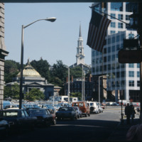
The Federal Building (Ammi B. Young, 1855-57, 24 Weybosset St.) is just visible to the left of this picture pointed from the financial district towards the East Side. That building was built where the edge of the Providence River and its port…

http://www.ricdigitalcommons.com/temp/5511.jpg
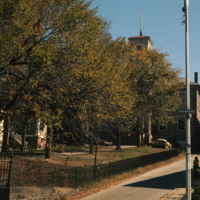
  The Old State House on College Hill in Providence, Rhode Island, also known as Providence Sixth District Court House, Providence Colony House, Providence County House, or Rhode Island State House is located on 150 Benefit Street. It is a brick…

http://www.ricdigitalcommons.com/Baxter_temp/CV-81-283.jpg
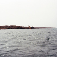
Photographed offshore, the island of Fogo. The island is mostly a volcano, Pico do Fogo, which is still active, it's last eruption occurring in 1995.

http://www.ricdigitalcommons.com/Baxter_temp/CV-81-083.jpg
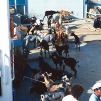
Cargo aboard the ferry "Porto Novo" is offloaded at Porto Novo on São Antão. The ferry connects São Vicente and Santo Antão with daily service for cargo and passengers.

http://www.ricdigitalcommons.com/Baxter_temp/CV-81-082.jpg
The ferry "Porto Novo" docks and unloads in Porto Novo after carrying passengers and cargo from São Vicente.

http://www.ricdigitalcommons.com/Baxter_temp/CV-81-081.jpg
The ferry "Porto Novo" docks and unloads in Porto Novo after carrying passengers and cargo from São Vicente.

http://www.ricdigitalcommons.com/Baxter_temp/CV-88-003.jpg
Taken on the North Atlantic Ocean, this photo includes a small sailboat in the distance and some rocky mountains of Sal Rei in the distance.

http://www.ricdigitalcommons.com/temp/1245.jpg
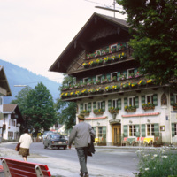
Oberammergau is a village in the Bavarian region of Germany. It is famous for it’s Passion Play, and it’s local frescos and woodcarving. This photograph shows a street scene photographed in 1969. The building shown is the Hotel Wolf, a hotel that…

http://www.ricdigitalcommons.com/Baxter_temp/CV-81-362.jpg
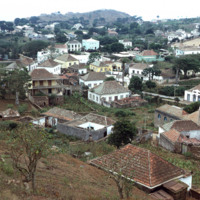
An elevated, distant view of Nova Sintra, including a stone walled cemetery. Because of the hilly terrain, this village is split into seven separate town squares. It is the main town on Brava.

http://www.ricdigitalcommons.com/Baxter_temp/CV-81-326.jpg
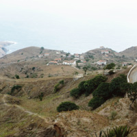
Taken from an aluguer en route to Fajã d'Água, this elevated view of Nova Sintra shows the coastline and some of the volcanic crater that Furna is nestled within. Most of Brava's coastline is made of steep cliff's that rise to a dry tableland, as…

http://www.ricdigitalcommons.com/Baxter_temp/CV-81-320.jpg
Nova Sintra, a community of seven "praças" or squares because of the hilly terrain. It is named for the Portuguese town of Sintra, and it's structures, whitewash with red tiles, pay tribute to that.

NTB-104-17-015.pdf
Description of “Spiritual Sittings” with Edward Clark, during which “the table began to move, and before the close of the evening, it would not only rock most vigorously; and on the following evening, this Table would frequently run all about the…

NTB-104-17-003.pdf
Notes on an encounter with the spirit of the recently deceased Theodore Parker , who attributed Hazard’s “difficulty as a medium” to his “unwillingness to be led by others.”

NTB-104-17-018.pdf
Notes on Henry Olcutt and other mediums, who have traveled to India and "passed into a sphere beyond."

NTB-104-17-002.pdf
Description of visit in June, 1857, to English windmill haunted by a female ghost.

NTB-104-17-012.pdf
Describes Hazard's experience hearing and feeling the ghost of his friend's deceased father, who advised Hazard on how best to help his friend.

NTB-104-17-011.pdf
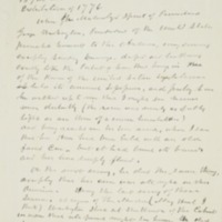
Description of "Spiritual Manifestation" of George Washington at the Philadelphia World Exhibition in 1876.

NTB-104-17-009.pdf
Notes discussing the history of “Modern Spiritualism,” including “rapping Mediumship” of Kate Fox, the “Cock Lane Ghost”, the “Salem Witches”, and Church’s suppression of mediums and seers. Includes description of Hazard’s early visions of children…

http://www.ricdigitalcommons.com/Baxter_temp/CV-89-026.jpg
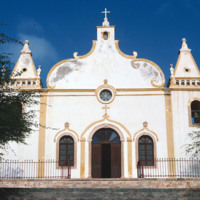
A view of the facade of Nossa Senhora da Luz, a 19th century Baroque-style cathedral that is at the center of Vila do Maio.

http://www.ricdigitalcommons.com/Baxter_temp/CV-89-027.jpg
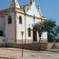
A three quarter view of this 19th century Baroque style church at Vila do Maio.

http://www.ricdigitalcommons.com/Baxter_temp/CV-89-025.jpg
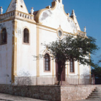
Nossa Senhora da Luz is an 18th century Baroque-style church that is the architectural focal point of Vila do Maio. This church was completed in 1872.

http://www.ricdigitalcommons.com/Baxter_temp/CV-81-110.jpg
This stormy view of the northeastern coast of Santo Antão shows the high winds and heavy surf that constantly belts this region of the island. The photo is taken from a coastal road that connects Ribeira Grande to Paúl.

http://www.ricdigitalcommons.com/temp/0792.jpg
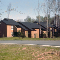
Centerville Court is an elderly housing complex in North Syracuse build in the 1970s. This housing complex, built during an oil crisis, originally used electric heating, but in recent years has been converted to natural gas to save energy coats.

http://www.ricdigitalcommons.com/temp/1095.jpg
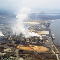
This photograph shows industrial zoning in North Charleston. The city was incorporated in 1972 from several different smaller areas. Within a decade it had become the third largest city in the state and the state's major industrial and commercial…

http://www.ricdigitalcommons.com/temp/1252.jpg
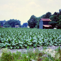
Following the Civil War, Tobacco was one of the first industries to flourish in North Carolina, owing mainly to the development of the cigarette. Since the end of the twentieth century, when the dangers of cigarette smoke entered the mainstream…

http://www.ricdigitalcommons.com/temp/0836.jpg
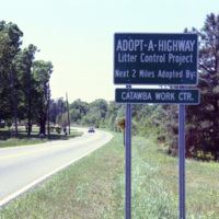
The Adopt a Highway program began in 1985. The program was conceived by James Evans, a engineer at the Texas Department of Transportation, who was inspired after seeing litter fly out of the back of a pickup. This 1990 photograph shows an Adopt a…

http://www.ricdigitalcommons.com/temp/0770.jpg
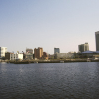
This photograph shows Downtown Norfolk from Hampton Roads. At the right is the Waterside Festival Marketplace developed by James Rouse. The marketplace was a key component in Norfolk’s revitalization process in the decades following the Second World…

http://www.ricdigitalcommons.com/temp/0750.jpg
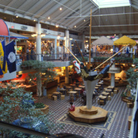
The Waterside Festival Marketplace in Norfolk was conceived in the 1970s as part of a downtown revitalization project. This interior photograph shows the marketplace crica 1985. Recent declines in business have replaced the stores upstairs with…

http://www.ricdigitalcommons.com/temp/0753.jpg
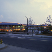
The Waterside is a festival marketplace in Norfolk. James W. Rouse envisioned the marketplace in the early 1970s as a way to revitalize Norfolk, which was experiencing a considerable decline. The marketplace has a combination of restaurants, retail…

http://www.ricdigitalcommons.com/temp/0760.jpg
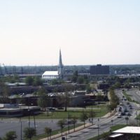
This photograph, believed to be taken from the Crowne Plaza, looks south down St. Paul’s Blvd. in Norfolk. On the horizon is the Basilica of St. Mary of the Immaculate Conception Church. The cathedral was constructed in 1858 after the original…

http://www.ricdigitalcommons.com/temp/0721.jpg
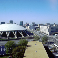
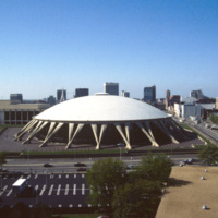
When it was opened in 1971, the Norfolk Scope, a multipurpose arena, was the second largest complex in Virginia after the Pentagon. The Scope also has the world’s largest concrete dome. Designed by Italian architect Pier Luigi Nervi, it was modeled…

http://www.ricdigitalcommons.com/temp/0769.jpg
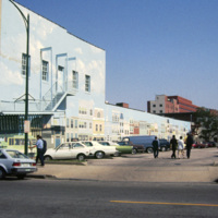
This 1985 photograph shows a public mural in downtown Norfolk. The building, which in this photograph is occupied by Unlimited Tatse, is presently (2011) occupied by a Starbucks franchise. The parking lot has since been redeveloped as part of the…

http://www.ricdigitalcommons.com/temp/0754.jpg
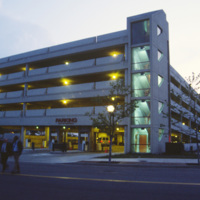
The Waterside Festival Marketplace was constructed as part of Norfolk’s postwar revitalization project.T his photograph (circa 1985) shows a parking garage neighboring the marketplace to accommodate shoppers.

http://www.ricdigitalcommons.com/temp/0771.jpg
The New Spirit was a cruise boat that toured the Elizabeth River, a branch of the Hampton Roads waterways. It, along with Waterside, was part of the downtown revitalization movement. The New Spirit, pictured here, was launched in 1983 after the…

http://www.ricdigitalcommons.com/temp/0763.jpg
Now the TCC Roper Performing Art Center, Loew’s State Theater opened in 1926 and featured gilded box seats, glass chandeliers and air conditioning. The theater closed in the 1970s and was unoccupied for over twenty years until revitalized by…

http://www.ricdigitalcommons.com/temp/0762.jpg
Granby Street, once a bustling commercial district in Downtown Norfolk, saw continued decline throughout the twentieth century as retail and shopping centers moved to the suburbs. This picture, which shows a cinema advertising The Last Dragon (1985),…

http://www.ricdigitalcommons.com/temp/0761.jpg
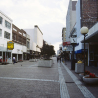
Granby Street was a major commercial district in Norfolk before suburban shopping centers lead to it’s decline in the twentieth century. The Granby Street Mall was an concept that was hoped to revitalize the district, however turning the street into…

http://www.ricdigitalcommons.com/temp/0752.jpg
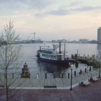
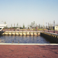
The Elizabeth River Ferry runs three paddle-wheel ferryboats that connect Portsmouth and Norfolk. The ferry system is operated as part of Hampton Roads Transit as of 1999. The photo is taken from The Waterside in Norfolk. On the horizon is Harbor…

http://www.ricdigitalcommons.com/temp/0768.jpg
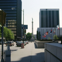
Commercial Park and the Confederate Monument are photographed in the image of Norfolk. The Confederate Monument was completed in 1907 when a 15 foot bronze statue of Johnny Reb was added to the top.

http://www.ricdigitalcommons.com/temp/0767.jpg
This photograph shows the Confederate Monument in Commercial Place, formerly Market Square. The Monument was began in 1899, and in 1907 the bronze statue of Johnny Reb, the symbol of the southern states, was added to the top.

http://www.ricdigitalcommons.com/temp/0766.jpg
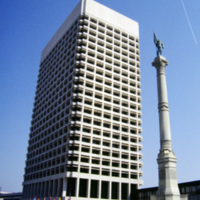
The Confederate Monument in Commercial Place had it’s corner stone laid on the thirty second anniversary of Confederate President Jefferson Davis’ inauguration. In 1907 a bronze statue of Johnny Reb, the personification of the southern states, was…

http://www.ricdigitalcommons.com/temp/0765.jpg
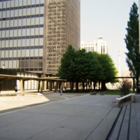
Photograph of Commercial Park in Norfolk. Commercial Park sits between MacArthur Square and the Confederate Monument, on East Main and Plume Street.

http://www.ricdigitalcommons.com/temp/0834.jpg
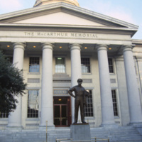
The MacArthur Memorial located in the old city hall at MacArthur Square in Norfolk. The 19th century city hall incorporates architectural elements from both the Greek and Roman revival. It was the site of the formal surrender to the Union Army in…

http://www.ricdigitalcommons.com/temp/0759.jpg
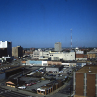
Anchored by Norfolk Scope, the northern corner of town is shown in the aerial photograph. Retail shops outlets dominate the area. Throughout the twentieth century shopping centers in the suburbs continued to draw commerce away from the city. The…

http://www.ricdigitalcommons.com/temp/0758.jpg
Featuring the world’s largest concrete dome, the Norfolk Scope (derived from kaleidoscope for it’s re-configurability) is a center for sports, entertainment and conventions in downtown Norfolk. It was designed by Italian architect Pier Luigi Nervi…
Output Formats

atom, dcmes-xml, json, omeka-xml, rss2