Browse Items (993 total)

  • Collection: Chester Smolski Photographs

http://www.ricdigitalcommons.com/temp/0758.jpg
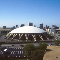
Featuring the world’s largest concrete dome, the Norfolk Scope (derived from kaleidoscope for it’s re-configurability) is a center for sports, entertainment and conventions in downtown Norfolk. It was designed by Italian architect Pier Luigi Nervi…

http://www.ricdigitalcommons.com/temp/0759.jpg
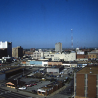
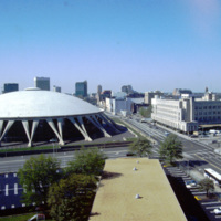
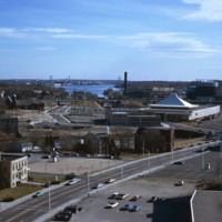
Anchored by Norfolk Scope, the northern corner of town is shown in the aerial photograph. Retail shops outlets dominate the area. Throughout the twentieth century shopping centers in the suburbs continued to draw commerce away from the city. The…

http://www.ricdigitalcommons.com/temp/0834.jpg
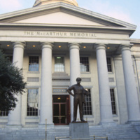
The MacArthur Memorial located in the old city hall at MacArthur Square in Norfolk. The 19th century city hall incorporates architectural elements from both the Greek and Roman revival. It was the site of the formal surrender to the Union Army in…
http://www.ricdigitalcommons.com/temp/0765.jpg
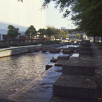
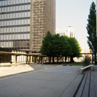
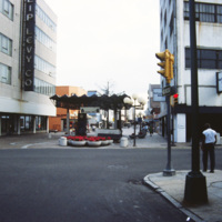
Photograph of Commercial Park in Norfolk. Commercial Park sits between MacArthur Square and the Confederate Monument, on East Main and Plume Street.

http://www.ricdigitalcommons.com/temp/0766.jpg
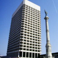
The Confederate Monument in Commercial Place had it’s corner stone laid on the thirty second anniversary of Confederate President Jefferson Davis’ inauguration. In 1907 a bronze statue of Johnny Reb, the personification of the southern states, was…

http://www.ricdigitalcommons.com/temp/0767.jpg
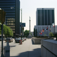
This photograph shows the Confederate Monument in Commercial Place, formerly Market Square. The Monument was began in 1899, and in 1907 the bronze statue of Johnny Reb, the symbol of the southern states, was added to the top.

http://www.ricdigitalcommons.com/temp/0768.jpg
Commercial Park and the Confederate Monument are photographed in the image of Norfolk. The Confederate Monument was completed in 1907 when a 15 foot bronze statue of Johnny Reb was added to the top.

http://www.ricdigitalcommons.com/temp/0752.jpg
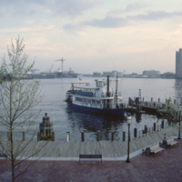
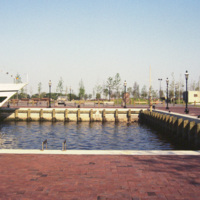
The Elizabeth River Ferry runs three paddle-wheel ferryboats that connect Portsmouth and Norfolk. The ferry system is operated as part of Hampton Roads Transit as of 1999. The photo is taken from The Waterside in Norfolk. On the horizon is Harbor…

http://www.ricdigitalcommons.com/temp/0761.jpg
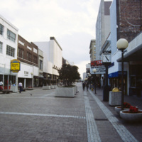
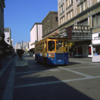
Granby Street was a major commercial district in Norfolk before suburban shopping centers lead to it’s decline in the twentieth century. The Granby Street Mall was an concept that was hoped to revitalize the district, however turning the street into…

http://www.ricdigitalcommons.com/temp/0762.jpg
Granby Street, once a bustling commercial district in Downtown Norfolk, saw continued decline throughout the twentieth century as retail and shopping centers moved to the suburbs. This picture, which shows a cinema advertising The Last Dragon (1985),…

http://www.ricdigitalcommons.com/temp/0763.jpg
Now the TCC Roper Performing Art Center, Loew’s State Theater opened in 1926 and featured gilded box seats, glass chandeliers and air conditioning. The theater closed in the 1970s and was unoccupied for over twenty years until revitalized by…

http://www.ricdigitalcommons.com/temp/0771.jpg
The New Spirit was a cruise boat that toured the Elizabeth River, a branch of the Hampton Roads waterways. It, along with Waterside, was part of the downtown revitalization movement. The New Spirit, pictured here, was launched in 1983 after the…

http://www.ricdigitalcommons.com/temp/0754.jpg
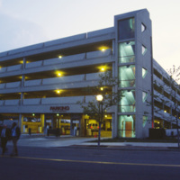
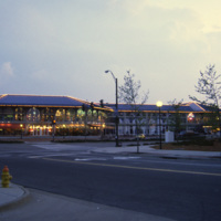
The Waterside Festival Marketplace was constructed as part of Norfolk’s postwar revitalization project.T his photograph (circa 1985) shows a parking garage neighboring the marketplace to accommodate shoppers.

http://www.ricdigitalcommons.com/temp/0769.jpg
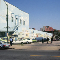
This 1985 photograph shows a public mural in downtown Norfolk. The building, which in this photograph is occupied by Unlimited Tatse, is presently (2011) occupied by a Starbucks franchise. The parking lot has since been redeveloped as part of the…

http://www.ricdigitalcommons.com/temp/0721.jpg
When it was opened in 1971, the Norfolk Scope, a multipurpose arena, was the second largest complex in Virginia after the Pentagon. The Scope also has the world’s largest concrete dome. Designed by Italian architect Pier Luigi Nervi, it was modeled…

http://www.ricdigitalcommons.com/temp/0760.jpg
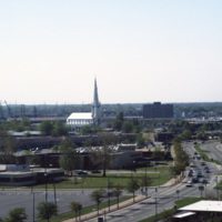
This photograph, believed to be taken from the Crowne Plaza, looks south down St. Paul’s Blvd. in Norfolk. On the horizon is the Basilica of St. Mary of the Immaculate Conception Church. The cathedral was constructed in 1858 after the original…

http://www.ricdigitalcommons.com/temp/0753.jpg
The Waterside is a festival marketplace in Norfolk. James W. Rouse envisioned the marketplace in the early 1970s as a way to revitalize Norfolk, which was experiencing a considerable decline. The marketplace has a combination of restaurants, retail…
http://www.ricdigitalcommons.com/temp/0750.jpg
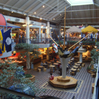
The Waterside Festival Marketplace in Norfolk was conceived in the 1970s as part of a downtown revitalization project. This interior photograph shows the marketplace crica 1985. Recent declines in business have replaced the stores upstairs with…

http://www.ricdigitalcommons.com/temp/0770.jpg
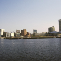
This photograph shows Downtown Norfolk from Hampton Roads. At the right is the Waterside Festival Marketplace developed by James Rouse. The marketplace was a key component in Norfolk’s revitalization process in the decades following the Second World…

http://www.ricdigitalcommons.com/temp/0836.jpg
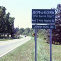
The Adopt a Highway program began in 1985. The program was conceived by James Evans, a engineer at the Texas Department of Transportation, who was inspired after seeing litter fly out of the back of a pickup. This 1990 photograph shows an Adopt a…

http://www.ricdigitalcommons.com/temp/1252.jpg
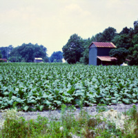
Following the Civil War, Tobacco was one of the first industries to flourish in North Carolina, owing mainly to the development of the cigarette. Since the end of the twentieth century, when the dangers of cigarette smoke entered the mainstream…

http://www.ricdigitalcommons.com/temp/1095.jpg
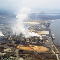
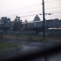
This photograph shows industrial zoning in North Charleston. The city was incorporated in 1972 from several different smaller areas. Within a decade it had become the third largest city in the state and the state's major industrial and commercial…

http://www.ricdigitalcommons.com/temp/0792.jpg
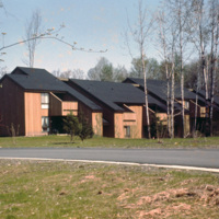
Centerville Court is an elderly housing complex in North Syracuse build in the 1970s. This housing complex, built during an oil crisis, originally used electric heating, but in recent years has been converted to natural gas to save energy coats.

http://www.ricdigitalcommons.com/temp/1245.jpg
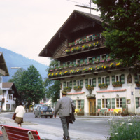
Oberammergau is a village in the Bavarian region of Germany. It is famous for it’s Passion Play, and it’s local frescos and woodcarving. This photograph shows a street scene photographed in 1969. The building shown is the Hotel Wolf, a hotel that…

http://www.ricdigitalcommons.com/temp/5511.jpg
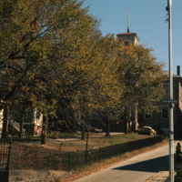
  The Old State House on College Hill in Providence, Rhode Island, also known as Providence Sixth District Court House, Providence Colony House, Providence County House, or Rhode Island State House is located on 150 Benefit Street. It is a brick…

http://www.ricdigitalcommons.com/temp/5172.jpg
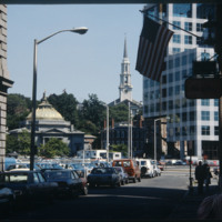
The Federal Building (Ammi B. Young, 1855-57, 24 Weybosset St.) is just visible to the left of this picture pointed from the financial district towards the East Side. That building was built where the edge of the Providence River and its port…

http://www.ricdigitalcommons.com/temp/5466.jpg
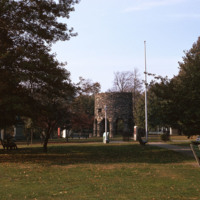
  Sometimes speculated as the  the work of Vikings, built around the year 1000, or the Chinese in 1426-28, the stone mill has fascinated historians for centuries. Another attribution is to the Portuguese explorer Miguel Corte-Real built it and yet…

http://www.ricdigitalcommons.com/temp/5149.jpg
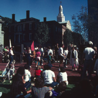
The park beside the Old Stone Square Building is the result of a corporate lawsuit forcing Barnes to limit his appropriation of the views of historic South Main Street. The outcome of the suit was the creation of a public space that rehabilitated the…

http://www.ricdigitalcommons.com/temp/1096.jpg
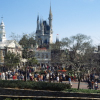
This photograph shows the Cinderella’s Castle, the icon of Walt Disney Word Resort’s Magic Kingdom, with a large number of visitors. It was built in 1971 by WED Enterprises. Walt Disney World was planned in the 1960s as a larger version of…

http://www.ricdigitalcommons.com/temp/1055.jpg
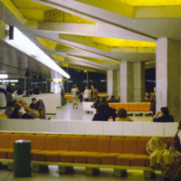
Named after the President of the French Republice during WWII, the Charles DeGaulle Airport is the second busiest airport in Europe. The airport is comprised of three terminals: the first for international travelers, the second for European airlines,…

http://www.ricdigitalcommons.com/temp/5039.jpg
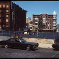
What appears to be a semi-trailor truck has caused the upper level of this Weybosset Street parking complex to collapse. This photograph was taken before the construction of the Federal Center on Westminster Street, and therefore provides a clear…

http://www.ricdigitalcommons.com/temp/5232.jpg
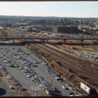
Looking west from downtown Providence, Interstate 95 runs across center frame. Parking lot in foreground is now the location of the Rhode Island Convention Center (1994) and the Westin Hotel and Residences (1993, 2007). The impressive structure at…

http://www.ricdigitalcommons.com/temp/5313.jpg
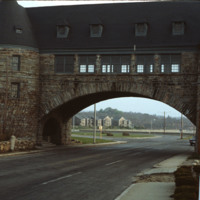
  The entrance to the Marine Corps Recruit Depot in Parris Island, South Carolina. Training of Marine Corps recruits began here in 1915. The base has been training recruits for every major U.S. conflict of the 20th and 21st century.

http://www.ricdigitalcommons.com/temp/5371.jpg
The Oriental Masonic Gardens in New Haven was a modular housing project designed by Paul Rudolph and built by Prince Hall Masons. In this project, residences were grouped in fours around a utility core.  Lower modules contained living spaces, with…

http://www.ricdigitalcommons.com/temp/5451.jpg
  Seen here is the development taking place in Pawtucket and Blackstone Mill. Also seen here is the dumping that’s going on along the Blackstone River. To the right is a view of the triple deckers in Pawtucket. 

http://www.ricdigitalcommons.com/temp/5448.jpg
  Seen here is the Apex center along the Blackstone River. In the far back Slater Mill and Wilkinson Mill can also be seen. 

http://www.ricdigitalcommons.com/temp/5444.jpg
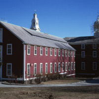
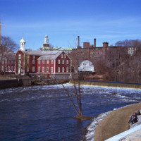
Seen here is the first textile mill built in Rhode Island. This is Slater Mill. The original building was built in 1793 by Benjamin Talcott and later improved by Sylvanus Brown who added the wheel. Originally the building was a 2.5 story building…

http://www.ricdigitalcommons.com/temp/5453.jpg
In 1793, the Old Slater Mill was constructed.  The site of the mill and the water power rights had been purchased in 1791 by Moses Brown and Oziel Wilkinson for "350 Spanish milled dollars".  It was bought from Cynthia Jenks as executrix of the will…

http://www.ricdigitalcommons.com/temp/5452.jpg
industrial Pawtucket along with some of the stores located near the Apex center.

http://www.ricdigitalcommons.com/temp/5445.jpg
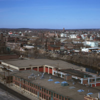
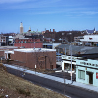
  The “Apex Mall,” as it is sometimes referred, was built in downtown Pawtucket in 1969. Designed by famed architect Andrew Geller, its pyramid-shaped roof is visible just off I-95, and it sits perched along the Blackstone River directly in front of…

http://www.ricdigitalcommons.com/temp/0451.jpg
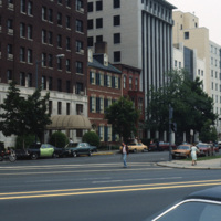
Pennsylvania Avenue leads to the White House, located at 1600 Pennsylvania Avenue in Washington D.C. The road referred to as “America’s Main Street” is often host to parades and protest marches. Pennsylvania Avenue was one of the first roads created…

http://www.ricdigitalcommons.com/temp/5355.jpg
In the late 19th century, summer visitors began flocking to the Narragansett shore for a reprieve from city life. The Seaview Trolley Line from Providence to Narragansett began in 1900 and greatly increased the number of seasonal visitors.  The grand…

http://www.ricdigitalcommons.com/temp/5360.jpg
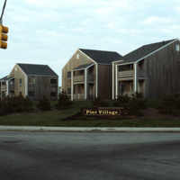
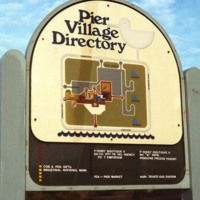
The Pier Village was developed in the 1970s. A combination of apartment housing and commercial space, the mall-like development has since been expanded to include more waterfront condos. The waterfront location had previously consisted of hotels,…

http://www.ricdigitalcommons.com/temp/5352.jpg
   The Towers in Narragansett are actually the remains of the Narragansett Pier Casino, which burned in 1905. Pictured here are The Towers in 1978, with Ocean Rd passing through.  They have become one of the most recognizable structures in the…

http://www.ricdigitalcommons.com/temp/0447.jpg
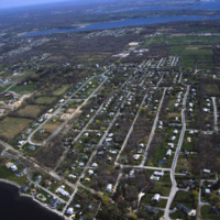
An aerial view of a planned community. Planned communities became popular in the 1960s throughout the United States. Planned communities typically made deliberate use of land that was previously unoccupied.

http://www.ricdigitalcommons.com/temp/5383.jpg
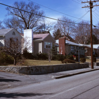
  Single family homes on Pleasant St. in Pawtucket located across from Francis J. Varieur Elementary School.

http://www.ricdigitalcommons.com/temp/0736.jpg
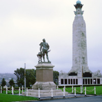
Sir Francis Drake, the first Englishman to circumnavigate the world, is memorialized in this statue at Plymouth Hoe. This was the city he sailed from in 1577 before his famous voyage, returning three years later, and was knighted by Queen Elizabeth.…

http://www.ricdigitalcommons.com/temp/0731.jpg
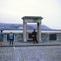
The Mayflower Steps are a monument built in the twentieth century to commemorate the location from which the Pilgrims are believed to have departed England for North America. Though the passengers had no link with Plymouth, they were forced to seek…

http://www.ricdigitalcommons.com/temp/5449.jpg
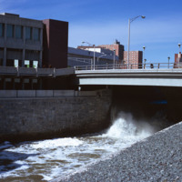
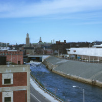
  The Blackstone River is recognized by the U.S. Congress  as the birthplace of the American Industrial Revolution. It powered Slater Mill, the first successful mill in America, as well as many other factories producing everything from wire to Mr.…

http://www.ricdigitalcommons.com/temp/0477.jpg
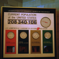
The population clock recording the number of births, deaths, immigrants and emigrants to the United States. The population clock reads 208,340,106 people: “An additional American every 14 1/2 seconds”.
Output Formats

atom, dcmes-xml, json, omeka-xml, rss2