Browse Items (1954 total)

http://www.ricdigitalcommons.com/temp/5338.jpg
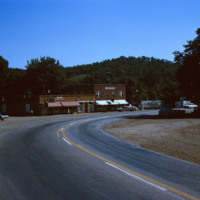
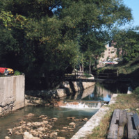
Linn Creek is located in Camden County, Missouri. Linn Creek is close to the Lake of the Ozarks, a large reservoir created by the Osage River in the Northern part of the Ozark Mountains.  In 2000, the population of Linn Creek was approximately 280…

http://www.ricdigitalcommons.com/temp/5337.jpg
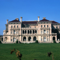
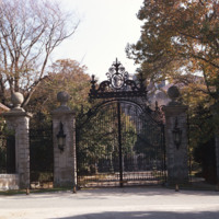
  The Breakers, an 11-acre estate on Ochre Point overlooking the ocean in Newport, Rhode Island, epitomizes the wealth and extravagance of America's Gilded Age. Designed by Richard Morris Hunt for Cornelius Vanderbilt, the grandson of Commodore C.…

http://www.ricdigitalcommons.com/temp/5336.jpg
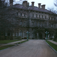
  The Breakers is the grandest of Newport's summer "cottages" and a symbol of the Vanderbilt family's social and financial preeminence in turn of the century America. Cornelius Vanderbilt II purchased a wooden house called The Breakers in Newport. In…
http://www.ricdigitalcommons.com/temp/5313.jpg
  The entrance to the Marine Corps Recruit Depot in Parris Island, South Carolina. Training of Marine Corps recruits began here in 1915. The base has been training recruits for every major U.S. conflict of the 20th and 21st century.

http://www.ricdigitalcommons.com/temp/5330.jpg
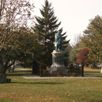
  Statue of Roger Williams at Prospect Terrace, photographed at night in the early 1970’s. The State House is seen glowing on the horizon. 

http://www.ricdigitalcommons.com/temp/5307.jpg
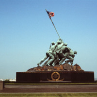
  The Marine Corps War Memorial stands as a symbol of this grateful Nation's esteem for the honored dead of the U.S. Marine Corps. While the statue depicts one of the most famous incidents of World War II, the memorial is dedicated to all Marines who…

http://www.ricdigitalcommons.com/temp/5306.jpg
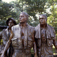
The Three Servicemen statue is the result of the controversy surrounding Maya Ying Lin's design of the Vietnam Veterans Memorial. Some veterans and their political supporters felt that The Wall was "a black gash of shame" or a "giant tombstone." It…

http://www.ricdigitalcommons.com/temp/5305.jpg
The wall seen in this photo is a memorial to those who served in the Vietnam War. The memorial is located in the Constitution Gardens near the Lincoln Memorial in Washington, D.C. The land was acquired through legislation passed by President Carter.…

5301.jpg
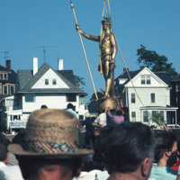
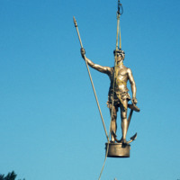
  On 20 July 1976 the “Independent Man” statue, which sits atop the Rhode Island State House, was returned after spending a year being repaired and receiving a new coat of gold leaf.  He also spent some of that time at the Warwick shopping mall. This…

5300.jpg
  The “Independent Man” was first proposed to be a statue of Roger Williams at the annual meeting of the Rhode Island Historical Society in 1895. The statue, to be placed atop the proposed new State House, was designed by George T. Brewster for…

5299.jpg
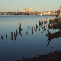
View looking East from India Point Park. In the distance stands the old India Point Park Pedestrian bridge. Originally measuring 8 feet wide, the bridge was built in 1971 and then demolished in 2005 to be reconstructed. It was officially replaced in…

5298.jpg
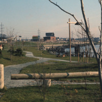
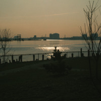
India Point Park was opened in 1974 after declines in shipping led to the area being redeveloped as a recreational space.  This image, looking south from the park, was likely taken within a couple of years of the park’s opening. The image shows the…

5296.jpg
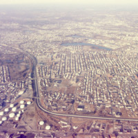
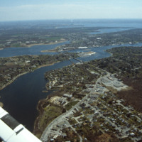
  This aerial photograph of South Providence includes Rhode Island Hospital and the Port of Providence in the late 1990’s. Allens Avenue and Interstate 95 run parallel across the bottom of the frame. Visible at the lower right corner is the old…

5295.jpg
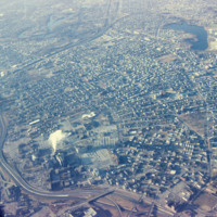
      This aerial view looks south west across South Providence and into Cranston.  Seen prominantly in the lower left is the Rhode Island Hospital complex, with the Hasbro Children’s Hospital which was only recently completed at the time of the…

5294.jpg
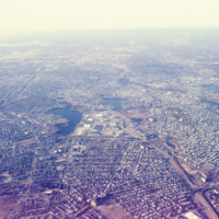
This south looking aerial view, photographed in the late 1990’s, shows South Providence neighborhood of Providence and a bit of Cranston. The two water bodies seen center frame are Mashapaug Pond and Spectacle Pond (left to right).  To the east is…

5293.jpg
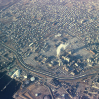
An aerial view of South Providence.  This image looks west, with Allens Ave. running parallel to the bottom of the picture plane and Interstate 95 prominently curving through the center of the image.  

http://www.ricdigitalcommons.com/temp/5283.jpg
A back view of the Moshassuck Square Apartments and the Moshassuck River.  The Moshassuck Square Apartments, designed by architect William D. Warner and constructed in 1972,  were a key element in the revitalization of Randall Square. The apartments…

http://www.ricdigitalcommons.com/temp/5282.jpg
  Milton Fine and Interstate Hotels Corporation developed, owned and operated the full service Providence Marriott Downtown hotel located on Orms Street. The hotel opened in 1975 with 250 rooms and was renovated in 1980 to become a 350 room hotel.

http://www.ricdigitalcommons.com/temp/5277.jpg
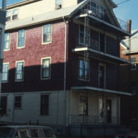
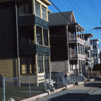
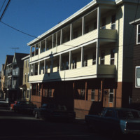
An example of a triple-decker tenement in Central Falls.  The triple-decker first appeared around 1890 and within a quarter century they predominated  inner city neighborhoods in and around Providence, including nearby Central Falls.  These deep,…

http://www.ricdigitalcommons.com/temp/5275.jpg
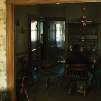
The interior of an apartment within a triple-decker home in Central Falls. A couple is seated at the kitchen table. The interior of triple-decker houses varied by social status. A working-class family’s home would include a parlor, kitchen, bedrooms,…

http://www.ricdigitalcommons.com/temp/5274.jpg
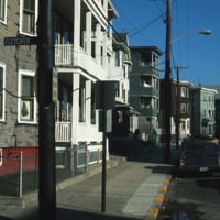
Dense apartment housing on the corner of Fletcher and Fales St.

5273.jpg
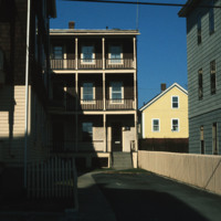
The triple-decker, functioning primarily as a tenement, varied in size and cost. Here Chet Smolski photographs variations on the triple-decker tenement in Central Falls.

http://www.ricdigitalcommons.com/temp/5272.jpg
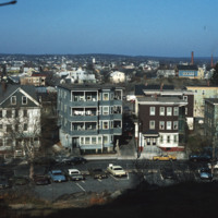
Elevated view from Jenks Hill in Central Falls with mill smoke stacks visible in the distance.

http://www.ricdigitalcommons.com/temp/5271.jpg
Clustered apartment housing in Central Falls was necessary to accommodate a rapidly growing population at the turn of the twentieth century. The population boom was due to a booming textile industry.  

http://www.ricdigitalcommons.com/temp/5270.jpg
  Elevated view of Central Falls apartment homes on Fletcher St., adjacent to Jenks Park. Located within Jenks Park is the historic landmark Cogswell Tower. The parcel of land for the park was donated by Alvin Jenks in 1890 and built around Dexter’s…

http://www.ricdigitalcommons.com/temp/5268.jpg
Nestled between the City of Pawtucket and the Towns of Cumberland and Lincoln, Central Falls' History dates back to 1731 and the early History of the Town of Smithfield. This tiny City with 1.5 square miles and over 18,000 residents proudly boasts…

http://www.ricdigitalcommons.com/temp/5267.jpg
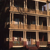
First appearing in the 1890s, these three unit apartments began to emerge as a popular dwellings for the growing population. This three-story building consists of three identical living units, with one on each floor. While most were designed for…

http://www.ricdigitalcommons.com/temp/5266.jpg
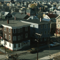
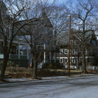
  The large houses seen in the photo were once single family homes. At the time of the photo, homeowners had begun converting homes of this size into rental properties by parceling out rooms within the homes. The changes came at a slow rate. 

5518.jpg
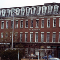
Designed by James Bucklin, the Hay Block (1867) is a Second Empire commercial building composed of red brick with granite trim. On the street level are cast iron storefronts.  The Hay Block was then “married” to Stone and Carpenter’s Owen Building to…

http://www.ricdigitalcommons.com/temp/5507.jpg
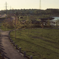
India Point Park features 18 acres of open space, graceful trees, and walking paths along its 3,600-foot shoreline. Located at the confluence of the Seekonk and Providence Rivers where they widen into Narragansett Bay, the Park is the only broad…

http://www.ricdigitalcommons.com/temp/5506.jpg
  Industrial development along Allens Ave. photographed from India Point Park. Shown: (left to right) Sprague Providence Terminal, Rhode Island Hospital, Ambulatory Care Center, Manchester Station. 

http://www.ricdigitalcommons.com/temp/5496.jpg
East Providence is a long, narrow, zigzag-shaped town squeezed between the Seekonk River to the west and, to the east, the Ten Mile and Runnins rivers, Barrington has the highest per capita income of any town in the state. The architectural pilgrim…

http://www.ricdigitalcommons.com/temp/5495.jpg
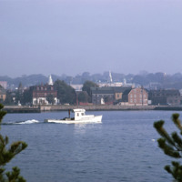
  Newport is a city on Aquidneck Island in Newport County, Rhode Island. It is about 30 miles south of Providence. Known as a New England summer resort and for the famous Newport Mansions, it is the home of Salve Regina University and Naval Station…

Tags: ,

http://www.ricdigitalcommons.com/temp/5494.jpg
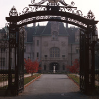
On the approach to the entry arch at the south end, the first story, wrapped in its cadence of piers, columns, and carved swag, dominates the facade. The H shaped plan frames a front garden and a seaward-facing terrace with projecting wings. The…

http://www.ricdigitalcommons.com/temp/5483.jpg
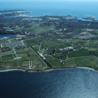
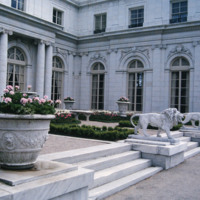
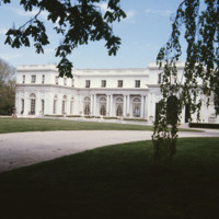
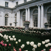
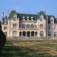
  Rosecliff, built 1898-1902, is one of the Gilded Age mansions of Newport, Rhode Island, now open to the public as a museum. The house has also been known as the Herman Oelrichs House or the J. Edgar Monroe House. It was built by Theresa Fair…

http://www.ricdigitalcommons.com/temp/5482.jpg
  Designed by McKim, Meade and White, particularly Stanford White, Rosecliff was built strictly as a summer residence for Tessie and Herman Oelrich. The money used to finance the construction of Rosecliff came from her father, James Graham Fair, one…

http://www.ricdigitalcommons.com/temp/5470.jpg
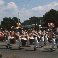
  The annual 4th of July parade held in Bristol, RI. Bristol has partaken in celebrating our national independence since 1785, earning the title of the “Home of America’s Oldest Forth of July Celebration”. Here, the Colonial Navy of Massachusetts on…

http://www.ricdigitalcommons.com/temp/5468.jpg
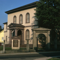
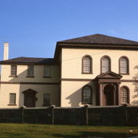
The building, the oldest Synagogue in the US, is angled to the street on a rise so that the ark inside faces Jerusalem. Only the elegance of the entrance porch, with arching inside a pedimented Ionic enclosure and the same generous spread of stairs…

http://www.ricdigitalcommons.com/temp/5467.jpg
  “On March 31 1854 representatives of Japan and the United States signed a historic treaty. A United States naval officer, Commodore Matthew Calbraith Perry [April 10, 1794 – March 4, 1858], negotiated tirelessly for several months with Japanese…

http://www.ricdigitalcommons.com/temp/5466.jpg
  Sometimes speculated as the  the work of Vikings, built around the year 1000, or the Chinese in 1426-28, the stone mill has fascinated historians for centuries. Another attribution is to the Portuguese explorer Miguel Corte-Real built it and yet…

http://www.ricdigitalcommons.com/temp/5464.jpg
  Located in Newport, RI, the school was founded by the Sisters of Mercy in 1947. Salve is a coeducational private university. The university has one of the most unique campuses around and it encompasses more than 80 acres. Along with it’s large…

http://www.ricdigitalcommons.com/temp/5463.jpg
  Salve Regina University is a university in Newport, Rhode Island. Founded by the Sisters of Mercy, the university is a co-educational, private, non-profit institution chartered by the State of Rhode Island in 1934. In 1947 the university acquired…

http://www.ricdigitalcommons.com/temp/5462.jpg
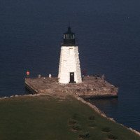
  The Newport Harbor Lighthouse may not be the best-known light in Newport Harbor, but its place in history is unchallenged as the first beacon to guide mariners into the bustling Newport of the early 1800s. The lighthouse stands on Goat Island, so…

http://www.ricdigitalcommons.com/temp/5460.jpg
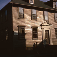
  Two stairs in different styles, one behind the other, confirm the back-to-front enlargement of this house, as does the anomaly of two chimneys. Boxed stairs on three short runs with scroll-cut balusters indicate that the older section was in the…

http://www.ricdigitalcommons.com/temp/5458.jpg
  For over two centuries, the small synagogue standing on top of a hill on a quiet street in the New England seaport community of Newport, R.I., has occupied a unique place in American history -- not only as a part of the American Jewish experience…

5457.jpg
Newport’s wharfs, from Long Wharf to Perry Mill evolved, from the late 1960s through the 1980s into a hectic carnival of boutiques, eateries, and hotels. A deliberately nondescript wharf-like vernacular has been cultivated even for outsized hotels,…

http://www.ricdigitalcommons.com/temp/5455.jpg
  Goat Island is a small island in Narragansett Bay and is part of the city of Newport, Rhode Island. The island is connected to the Easton's Point neighborhood via a causeway bridge. Goat Island is home to the Newport Harbor Light (1842). Native…

http://www.ricdigitalcommons.com/temp/5454.jpg
  The Breakers is a Vanderbilt mansion located on Ochre Point Avenue in Newport, Rhode Island. It is a National Historic Landmark, a contributing property to the Bellevue Avenue Historic District, and is owned and operated by the Preservation Society…

http://www.ricdigitalcommons.com/temp/5453.jpg
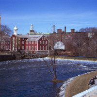
In 1793, the Old Slater Mill was constructed.  The site of the mill and the water power rights had been purchased in 1791 by Moses Brown and Oziel Wilkinson for "350 Spanish milled dollars".  It was bought from Cynthia Jenks as executrix of the will…

http://www.ricdigitalcommons.com/temp/5452.jpg
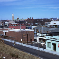
industrial Pawtucket along with some of the stores located near the Apex center.
Output Formats

atom, dcmes-xml, json, omeka-xml, rss2