Browse Items (1954 total)

http://www.ricdigitalcommons.com/temp/5391.jpg
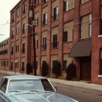
  The Woonsocket Housing Authority was incorporated in 1940 by the State of Rhode Island. The Morin Heights Public Housing Development was built around the same time. The housing was designed for low-income families and individuals. The development…
http://www.ricdigitalcommons.com/temp/0780.jpg
Pictured in 1981 is the original campus at West Virginia University, now known as the Downtown Campus. The three campuses in Morgantown are connected by the Morgantown Personal Rapid Transit system, a unique automated people mover funded by the…

http://www.ricdigitalcommons.com/temp/0781.jpg
Evansdale Campus is photographed from one of the stops along the Morgantown Personal Rapid Transit system. The Evansdale Campus, developed during the 1950s and 1960s, is part of West Virginia University.

http://www.ricdigitalcommons.com/temp/0779.jpg
From 1891 to 1983 the Seneca Glass Company was a staple business in Morgantown. This 1981 photograph shows a glass worker in the Beechurst Avenue factory in Morgantown.

http://www.ricdigitalcommons.com/temp/0778.jpg
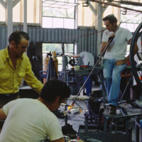
Factory workers at the Seneca Glass Company in Morgantown are photographed here in 1981 by Chet Smolski. Founded in 1891, the factory was sold and eventually become bankrupt in just two years time. (date of photograph has been approximated)

http://www.ricdigitalcommons.com/temp/0777.jpg
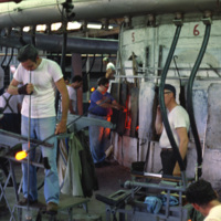
Factory workers at the Seneca Glass Company in Morgantown. The Seneca Glass Company, founded in 1891, was a staple of the city of Morgantown until the companies eventual bankruptcy in 1983. This 1981 photograph shows the company in it’s final days,…

http://www.ricdigitalcommons.com/temp/0784.jpg
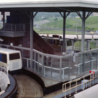
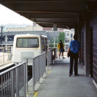
This photograph shows one of the stations on the Morgantown Personal Rapid Transit system. The system began operation in 1975 and has been running relatively smooth for over 30 years.

http://www.ricdigitalcommons.com/temp/0787.jpg
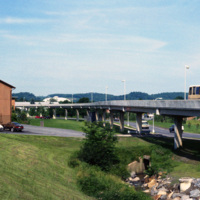
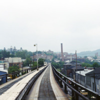
This picture shows a side view of the railway tracks for the Morgantown Personal Rapid Transit system. The entire system has a length of approximately 8.2 miles, along which 5 different stations can be found.

http://www.ricdigitalcommons.com/temp/0786.jpg
This photograph, taken from a car on the Morgantown Personal Rapid Transit system, show’s the unique tracks that the automated cars move upon. Each car is equipped with rubber wheels and receives energy and information from a rail in the center. This…

http://www.ricdigitalcommons.com/temp/0785.jpg
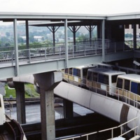
This photograph shows several stationary cars at one of the stations as part of Morgantown Personal Rapid Transit system. Each car has the capacity to hold eight people along with minor room for standees.

http://www.ricdigitalcommons.com/temp/0783.jpg
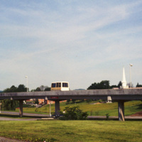
The Morgantown Personal Rapid Transit system is a unique people mover in Morgantown, West Virginia. It was built using funding from the Nixon administration.

http://www.ricdigitalcommons.com/temp/0782.jpg
The Morgantown Personal Rapid Transit system connects the West Virginia Campuses and downtown Morgantown. The system opened in 1975 and was completed in 1979. While construction of the system was four times over budget, it has proved to be both…

http://www.ricdigitalcommons.com/temp/0775.jpg
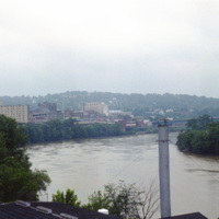
Monongahela, an approximation of a native word meaning “falling banks”, refers to the instability of the Monongahela Rivers banks. The river flows through Pennsylvania and West Virginia. This photograph shows the Monongahela River in Mograntown.…

http://www.ricdigitalcommons.com/temp/0776.jpg
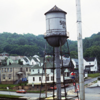
This photograph taken from the Seneca Glass Company looks northeast towards housing in Morgantown. Seneca Glass Company, founded in 1891, was a fixture in Morgantown until it’s ultimate demise in 1983. The intersection pictured is the meeting of 7th…

http://www.ricdigitalcommons.com/temp/0773.jpg
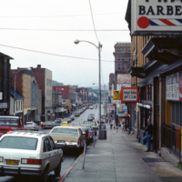
Morgantown is home to West Virginia University and is the largest town in the North-Central region of West Virginia. This photograph looks south on Rt. 119 in the First Ward neighborhood. Many of the businesses have changed since this 1981…

http://www.ricdigitalcommons.com/temp/0774.jpg
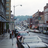
View of High St. in Morgantown on a rainy afternoon in 1981. Morgantown is the largest town in the North-Central region of West Virginia and is home to West Virginia University. At the left is the Monongahela Building, an apartment complex on High…

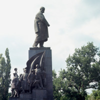
1215.jpg
A monument in Kharkov to Ukraine’s greatest poet and artist who wrote and fought as a revolutionary democrat against serfdom and Tsarist rule. The monument is in Dzerzhinsky Square in Kharkov. A competition for the best Schevchenko monument took…

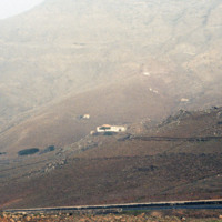
http://www.ricdigitalcommons.com/Baxter_temp/CV-88-126.jpg
Area, known as P

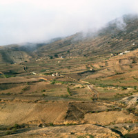
http://www.ricdigitalcommons.com/Baxter_temp/CV-81-329.jpg
Photograph taken during an overland journey between Nova Sintra and Fajã d'Água. Rising into the mist is Monte Fontainhas, at 977 m it is the highest point on Brava.

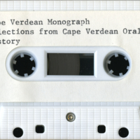
18168629-CV31A.mp3
This monograph is a compilation of clips from interviews conducted by Alberto Torres during 1972-1974.

http://www.ricdigitalcommons.com/temp/5382.jpg
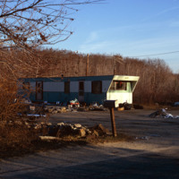
Mobile home site in Glocester, RI. During this time, rural towns in Rhode Island such as Glocester, Charlestown, Narragansett, and West Greenwich reported a rapid growth in population. With increases in the popuation averaging around 40% people…

4931.jpg
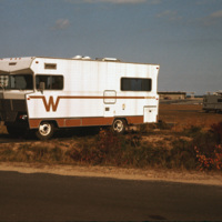
A Winnebago RV camping in Cape Cod, Massachusetts. A transportable residence, different from Smolski's usual documentation of permanent and non-moveable urban homes.

http://www.ricdigitalcommons.com/Baxter_temp/CV-81-331.jpg
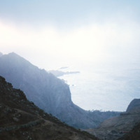
A misty view of the Brava coastline taken from an aluguer during an overland journey from Nova Sintra to Fajã d'Água.

http://www.ricdigitalcommons.com/Baxter_temp/CV-81-063.jpg
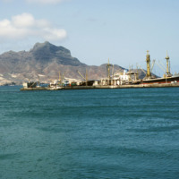
Mindelo, and specifically Porto Grande, seen from the ferry "Porto Novo" en route to Santo Antão. For many years "Porto Novo" provided daily service between the islands São Vicente and Santo Antão, but the vessel has since been retired. Ferry service…

http://www.ricdigitalcommons.com/Baxter_temp/CV-81-039.jpg
A landscape photograph taken from atop Monte Verde shows Mindelo, Porto Grande, and neighboring island Santo Antão on the horizon. Monte Verde is São Vicente's highest peak.

http://www.ricdigitalcommons.com/temp/4949.jpg
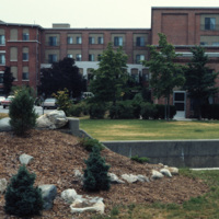
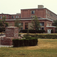
The Millhaus at Mansfield is a condominium community near downtown Mansfield, Massachusetts. Built in the early 1970s, the community exemplifies a stage of urban development in Mansfield when the town was being urbanized and community housing…

Tags: ,

http://www.ricdigitalcommons.com/temp/4948.jpg
The Millhaus at Mansfield is a condominium community near downtown Mansfield, Massachusetts. Built in the early 1970s, the community exemplifies a stage of urban development in Mansfield when the town was being urbanized and community housing…

Tags: ,

http://www.ricdigitalcommons.com/temp/4947.jpg
The Millhaus at Mansfield is a condominium community near downtown Mansfield, Massachusetts. Built in the early 1970s, the community exemplifies a stage of urban development in Mansfield when the town was being urbanized and community housing…

Tags: ,

http://www.ricdigitalcommons.com/temp/4946.jpg
The Millhaus at Mansfield is a condominium community near downtown Mansfield, Massachusetts. Built in the early 1970s, the community exemplifies a stage of urban development in Mansfield when the town was being urbanized and community housing…

Tags: ,

http://www.ricdigitalcommons.com/temp/4945.jpg
The Millhaus at Mansfield is a condominium community near downtown Mansfield, Massachusetts. Built in the early 1970s, the community exemplifies a stage of urban development in Mansfield when the town was being urbanized and community housing…

http://www.ricdigitalcommons.com/temp/4944.jpg
The Millhaus at Mansfield is a condominium community near downtown Mansfield, Massachusetts. Built in the early 1970s, the community exemplifies a stage of urban development in Mansfield when the town was being urbanized and community housing…

Tags: ,

http://www.ricdigitalcommons.com/temp/4942.jpg
The Millhaus at Mansfield is a condominium community near downtown Mansfield, Massachusetts. Built in the early 1970s, the community exemplifies a stage of urban development in Mansfield when the town was being urbanized and community housing…

Tags: ,

JM-IAIRI-19XXXXXX-32.jpg
Michele was born in Agnone, in the province of Compobasso, Italy on April 6, 1894. He was the son of Donato Nicolo and Antonietta (Pannunzio) D'Agnillo. At 17 years old, he immigrated to America, where he worked in foundries, copper mines, vineyards,…

http://www.ricdigitalcommons.com/temp/0565.jpg
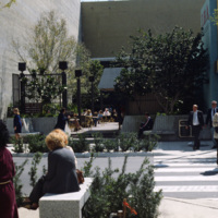
Chet Smolski photographed this as an example of a vest pocket park in Miami. Also known as mini parks, or parketts, these small urban parks are placed on vacant lots between buildings are accessible to the general public.

http://www.ricdigitalcommons.com/temp/0566.jpg
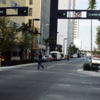
This street scene photograph was taken at the intersection of Miami Ave. and Flagler St. Smolski points out in his notes that he was interested here in the traffic light design, which is unique to the city, and are still in use today.

http://www.ricdigitalcommons.com/temp/0549.jpg
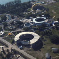
The Miami Seaquarium is an oceanquarium. It is located in Biscayne Bay. Completed in 1955, the Miami Seaquarium was South Florida’s first Marinelife attraction. The Miami Seaquarium is primarily a tourist destination, famous for it’s opportunities to…

http://www.ricdigitalcommons.com/temp/0570.jpg
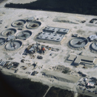
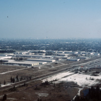
The South District Wastewater Treatment Plant is located just south of Miami. This aerial photograph was taken in 1978 shows the plant in its early stages of construction. Today, plans are underway to reclaim the water that comes out of the plant in…

http://www.ricdigitalcommons.com/temp/0551.jpg
The Miami skyline as seen from Key Biscayne in 1978. At the right are some of Miami’s most famous skyscrappers, including th SunTrust International Center, completed in 1973, and One Biscayne Tower, a symbol of the city, completed in 1972. At the…

http://www.ricdigitalcommons.com/temp/0563.jpg
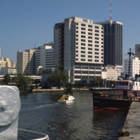
An image taken from the Miami River Walk looking northeat shows One Biscayne Tower as the tallest building in the city, which it was until 1984. It has since been eclipsed by modern building standards but remains a symbol of the city. The building…

http://www.ricdigitalcommons.com/temp/0561.jpg
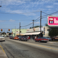
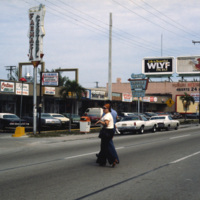
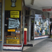
This photograph shows Cuban influence in Miami, specifically here on SW 8th St., part of Little Havana. The nickname comes from the large Cuban population concentrated in the area from the 1970s through the 1990s. The influx of Cubans in the area,…

http://www.ricdigitalcommons.com/temp/0560.jpg
This photograph shows Cuban influence in Miami, specifically here on SW 8th St., part of Little Havana. The nickname comes from the large Cuban population from the 1970s through the 1990s following an influx of Cuban refugee’s and the creation of a…

http://www.ricdigitalcommons.com/temp/0564.jpg
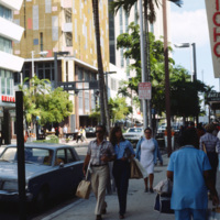
This photograph is taken at the intersection of Flagler St. and NE 1st Ave. Downtown Miami is both an urban residential neighborhood and the central business district. This specific neighborhood is known as the Jewelry District, so named for it’s…

http://www.ricdigitalcommons.com/temp/0550.jpg
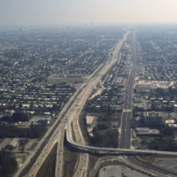
This aerial photograph looks south down Interstate 95 in Miami. In the foreground is the Golden Glades Interchange Extended. Interstate 95 is the longest running north-south route in the highway system, running from the Canadian border in Maine to…

http://www.ricdigitalcommons.com/temp/0571.jpg
This industrial park in Miami is likely located on the western outskirts of town, where most of Miami’s warehouses and stone quarrying industries are located, extending into neighboring suburbs Doral and Hialeah.

http://www.ricdigitalcommons.com/temp/0562.jpg
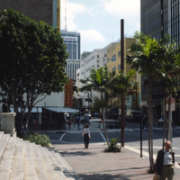
An east facing view down East Flagler St. in Downtown Miami. The street is named for nineteenth century railroad magnate Henry Flagler, and it runs west across town to the Florida Turnpike. This photograph show’s two buildings that have become…

http://www.ricdigitalcommons.com/temp/0567.jpg
During the 1960s and 1970s large numbers of Cuban immigrants moved into Miami, many of whom settled in a neighborhood of Miami that came to be known as Little Havana. This photograph from Downtown Miami is Smolski’s illustration of the Cuban…

http://www.ricdigitalcommons.com/temp/0552.jpg
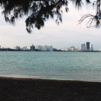
Beach scene at Key Biscayne with the Miami skyline on the horizon. Key Biscayne is an island off the coast of Miami that’s principle economy is as a travel destination for tourists. As of 2004, the islands population was recorded at 10,324.

http://www.ricdigitalcommons.com/temp/0552.jpg
Beach scene at Key Biscayne with the Miami skyline on the horizon. Key Biscayne is an island off the coast of Miami that’s principle economy is as a travel destination for tourists. As of 2004, the islands population was recorded at 10,324.

http://www.ricdigitalcommons.com/temp/0837.jpg
This aerial photograph looks north across Miami. Miami is one of the largest cities in the United States. Running across the photograph is Interstate 95. At frame left just north of the highway is the William's Island Country Club. Also seen is…

http://www.ricdigitalcommons.com/temp/0539.jpg
The Versailles Hotel Condo was built in 1940 in a style between Miami Beach’s Art Deco and Modernist style. Behind the condo is the Jamie Tuttle Causeway, which connects the beach with Midtown Miami.
Output Formats

atom, dcmes-xml, json, omeka-xml, rss2