Browse Items (1954 total)

http://www.ricdigitalcommons.com/temp/5355.jpg
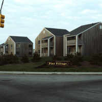
In the late 19th century, summer visitors began flocking to the Narragansett shore for a reprieve from city life. The Seaview Trolley Line from Providence to Narragansett began in 1900 and greatly increased the number of seasonal visitors.  The grand…

http://www.ricdigitalcommons.com/Baxter_temp/CV-88-083.jpg
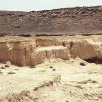
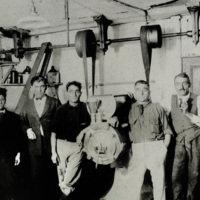
Five unidentified individuals stand in front of a local mine in Boa Vista. The identification of the mineral is uncertain, however, it may be sulfur.

http://www.ricdigitalcommons.com/Baxter_temp/CV-81-306.jpg
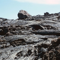
Volcanic rock from recent (as of 1981) lava flows at Pico do Fogo. Since then, this volcano has erupted once in 1995.

http://www.ricdigitalcommons.com/Baxter_temp/CV-81-285.jpg
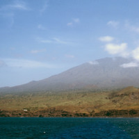
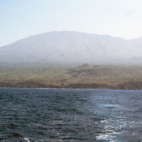
Photographed from offshore, the isle of Fogo with it's 2,829 meter Pico do Fogo extending into the cloud. This is the highest point in Cape Verde.

http://www.ricdigitalcommons.com/Baxter_temp/CV-81-296.jpg
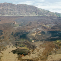
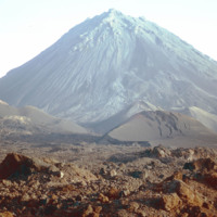
Landscape view of Pico do Fogo shows the craters and lava flow patterns, but also the steep slope of the original volcano.

http://www.ricdigitalcommons.com/Baxter_temp/CV-81-292.jpg
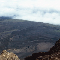
From the slope of Pico do Fogo looking over a planes of volcanic rock intermingled with sparse vegetation that thrives on the mineral rich soil left behind by an eruption. The last eruption occurred in 1995, an event that completely destroyed the…

http://www.ricdigitalcommons.com/Baxter_temp/CV-81-291.jpg
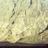
The slope of Pico do Fogo seen from the shadowy crater below. The voclano is still active, last erupting in 1995, an event which destroyed the nearby village of Boca Fonte and created a new peak, known simply as the 1995 peak. The Pico, standing at…

http://www.ricdigitalcommons.com/Baxter_temp/CV-81-290.jpg
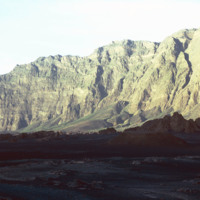
The steep slope of Pico do Fogo seen from the shadowy crater below. Pico do Fogo is an active volcano, it's last eruption was in 1995 which destroyed the village of Boca Fonte.

http://www.ricdigitalcommons.com/Baxter_temp/CV-81-287.jpg
Pico do Fogo, the highest point in Cape Verde, and most of the island Fogo, photographed here from offshore.

http://www.ricdigitalcommons.com/Baxter_temp/CV-81-288.jpg
The Pico de Fogo is the area of highest elevation on the island of Fogo. This active volcano stands 1,200 meters high. Before this picture was taken, the volcano had erupted twice; once in 1675, and again in 1847. Since then, it has erupted once in…

JM-IAIRI-193XXXXX-88B.jpg
After the decision to remove the pushcarts was made, the public took great interest in opposing this removal. Signatures were collected on petitions and were presented to the mayor of Providence, requesting his intervention. Petitions were posted on…

http://www.ricdigitalcommons.com/Baxter_temp/CV-85-035.jpg
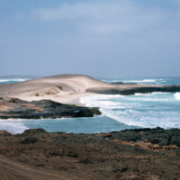
Boa Vista is a large, relatively flat island of dunes and oases. Its rocky and shallow coastline has been cruel to sailors and has caused many shipwrecks. This photograph of Praia de Crabral, a beach located about two miles from the town Sal Rei,…

http://www.ricdigitalcommons.com/temp/0451.jpg
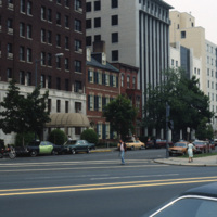
Pennsylvania Avenue leads to the White House, located at 1600 Pennsylvania Avenue in Washington D.C. The road referred to as “America’s Main Street” is often host to parades and protest marches. Pennsylvania Avenue was one of the first roads created…

http://www.ricdigitalcommons.com/Baxter_temp/CV-81-122.jpg
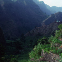
The peaks lining the Ribeira do Paùl. It shows terraces built into the side of the mountains. This area is often compared to the landscape of Hawaii. It is very green and the land is composed of a good deal of volcanic residue. Volcanic dust is…

http://www.ricdigitalcommons.com/temp/5445.jpg
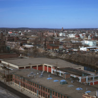
  The “Apex Mall,” as it is sometimes referred, was built in downtown Pawtucket in 1969. Designed by famed architect Andrew Geller, its pyramid-shaped roof is visible just off I-95, and it sits perched along the Blackstone River directly in front of…

http://www.ricdigitalcommons.com/temp/5452.jpg
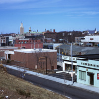
industrial Pawtucket along with some of the stores located near the Apex center.

http://www.ricdigitalcommons.com/temp/5453.jpg
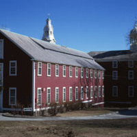
In 1793, the Old Slater Mill was constructed.  The site of the mill and the water power rights had been purchased in 1791 by Moses Brown and Oziel Wilkinson for "350 Spanish milled dollars".  It was bought from Cynthia Jenks as executrix of the will…
http://www.ricdigitalcommons.com/temp/5444.jpg
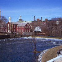
Seen here is the first textile mill built in Rhode Island. This is Slater Mill. The original building was built in 1793 by Benjamin Talcott and later improved by Sylvanus Brown who added the wheel. Originally the building was a 2.5 story building…

http://www.ricdigitalcommons.com/temp/5448.jpg
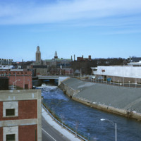
  Seen here is the Apex center along the Blackstone River. In the far back Slater Mill and Wilkinson Mill can also be seen. 

http://www.ricdigitalcommons.com/temp/5451.jpg
  Seen here is the development taking place in Pawtucket and Blackstone Mill. Also seen here is the dumping that’s going on along the Blackstone River. To the right is a view of the triple deckers in Pawtucket. 

http://www.ricdigitalcommons.com/Baxter_temp/CV-81-126.jpg
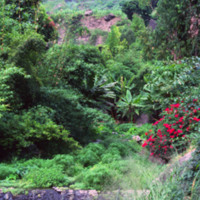
Example of Paùl's luxurious landscape. While most of the island suffers from drought, Paùl enjoys a subtropical climate with rich forests. Here you can see the evidence of the volcanic origins in the high steep mountains.

http://www.ricdigitalcommons.com/temp/5371.jpg
The Oriental Masonic Gardens in New Haven was a modular housing project designed by Paul Rudolph and built by Prince Hall Masons. In this project, residences were grouped in fours around a utility core.  Lower modules contained living spaces, with…

http://www.ricdigitalcommons.com/Baxter_temp/CV-81-068.jpg
Unidentified passengers pose for a photo onboard "Porto Novo," a ferry that ran daily service between São Vicente and Santo Antão. The ship has since been retired.

http://www.ricdigitalcommons.com/Baxter_temp/CV-81-067.jpg
Unidentified passengers pose for a photo onboard "Porto Novo," a ferry that ran daily service between São Vicente and Santo Antão. The ship has since been retired.

JM-IAIRI-19131201-11.jpg
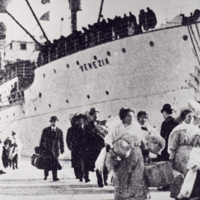
Great numbers of immigrants were processed at this new facility. At that time there were no phones, no taxis, and no radios -- imagine the obstacles they had to overcome! Very few immigrants ever returned to their homeland or saw their families…

http://www.ricdigitalcommons.com/Baxter_temp/CV-81-314.jpg
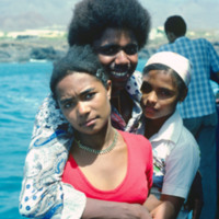
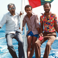
Unidentified passengers, believed to be friends of David Baxter, on a boat voyage from Fogo to Brava.

http://www.ricdigitalcommons.com/Baxter_temp/CV-81-062.jpg
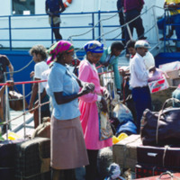
Passengers board "Porto Novo" in Mindelo for ferry service to São Antão. For years the "Porto Novo" was the lifeline between the two islands, providing daily service, but the ship has since been retired.

http://www.ricdigitalcommons.com/Baxter_temp/CV-81-061.jpg
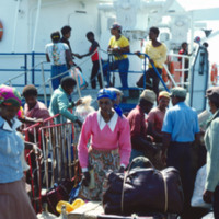
Passengers board "Porto Novo" in Mindelo for ferry service to São Antão. For years the "Porto Novo" was the lifeline between the two islands, providing daily service, but the ship has since been retired.

http://www.ricdigitalcommons.com/Baxter_temp/CV-81-060.jpg
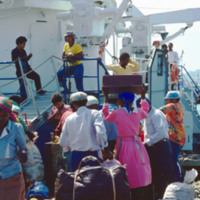
Passengers board "Porto Novo" in Mindelo for ferry service to São Antão. For years the "Porto Novo" was the lifeline between the two islands, providing daily service, but the ship has since been retired.

http://www.ricdigitalcommons.com/temp/5313.jpg
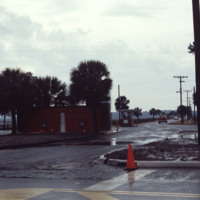
  The entrance to the Marine Corps Recruit Depot in Parris Island, South Carolina. Training of Marine Corps recruits began here in 1915. The base has been training recruits for every major U.S. conflict of the 20th and 21st century.

http://www.ricdigitalcommons.com/temp/5232.jpg
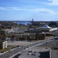
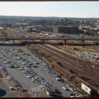
Looking west from downtown Providence, Interstate 95 runs across center frame. Parking lot in foreground is now the location of the Rhode Island Convention Center (1994) and the Westin Hotel and Residences (1993, 2007). The impressive structure at…

http://www.ricdigitalcommons.com/temp/5039.jpg
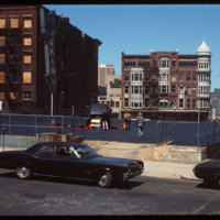
What appears to be a semi-trailor truck has caused the upper level of this Weybosset Street parking complex to collapse. This photograph was taken before the construction of the Federal Center on Westminster Street, and therefore provides a clear…

http://www.ricdigitalcommons.com/Baxter_temp/CV-85-059.jpg
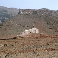
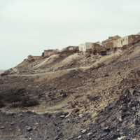
This photo shows just how desolate and barren the town of João Galego is. Resting in the dry desert climate where there is little to no rain, the town is considered one of the island's poorest. What appears to be the parish of João Galego is featured…

http://www.ricdigitalcommons.com/Baxter_temp/CV-81-217.jpg
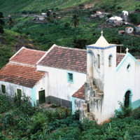
Nestled in the lush region of Ribera Brava is this small parish church. The church was built with a Baroque simplified appearance and has a tiled roof with a single tower.

http://www.ricdigitalcommons.com/temp/1055.jpg
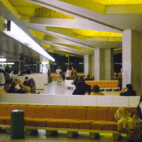
Named after the President of the French Republice during WWII, the Charles DeGaulle Airport is the second busiest airport in Europe. The airport is comprised of three terminals: the first for international travelers, the second for European airlines,…

http://www.ricdigitalcommons.com/Baxter_temp/CV-88-091.jpg
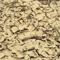
Here is a close up of parched terrain in Boa Vista. Small adapted flora can bee seen peaking through the cracks of the ground.

http://www.ricdigitalcommons.com/Baxter_temp/CV-88-090.jpg
This photograph captures the area's parched terrain as well as local flora that have adapted to these extreme environmental conditions.

http://www.ricdigitalcommons.com/Baxter_temp/CV-88-089.jpg
This photograph captures the area's parched terrain as well as local flora that have adapted to these extreme environmental conditions.

http://www.ricdigitalcommons.com/Baxter_temp/CV-85-050.jpg
Palm trees and crumbling wall as seen on a journey across the very arid interior of Boa Vista on the way to Praia Curralhino, also known as Praia Santa Monica. Note that despite extreme drought conditions, there is a presence of goats, donkeys and…

http://www.ricdigitalcommons.com/temp/1096.jpg
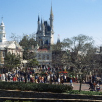
This photograph shows the Cinderella’s Castle, the icon of Walt Disney Word Resort’s Magic Kingdom, with a large number of visitors. It was built in 1971 by WED Enterprises. Walt Disney World was planned in the 1960s as a larger version of…

JM-IAIRI-191XXXXX-66-ED.jpg
This company was originally located at 47 West Exchange Street in Providence. Pictured are the "staff" of the Modern Dairy Ice Cream Company.

http://www.ricdigitalcommons.com/Baxter_temp/CV-88-044.jpg
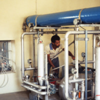
An unidentified man operates a lever on one of the machines of the desalination plant.

This plant utilizes reverse osmosis to convert ocean water into viable, drinking water for the community. Osmosis requires a semi permeable membrane separating…
http://www.ricdigitalcommons.com/Baxter_temp/CV-88-050.jpg
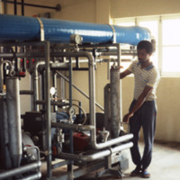
An unidentified man works in a desalination plant.

The Danish government built this desalination plant in Cape Verde just prior to this 1988 photograph.

Natural fresh water sources are few to nonexistent in many islands of Cape Verde.…

http://www.ricdigitalcommons.com/Baxter_temp/CV-88-049.jpg
An unidentified man works in a desalination plant.

The Danish government built this desalination plant in Cape Verde just prior to this 1988 photograph

Natural fresh water sources are few to nonexistent in many islands of Cape Verde. Therefore,…
http://www.ricdigitalcommons.com/Baxter_temp/CV-88-076.jpg
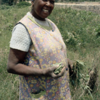
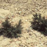
A woman displays flora alongside the road that leads to Sal Rei. A village can be seen on higher ground in the background.
http://www.ricdigitalcommons.com/Baxter_temp/CV-88-075.jpg
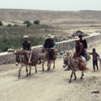
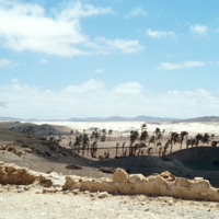
Men and children on donkeys stop to rest on the road that leads to Sal Rei.

http://www.ricdigitalcommons.com/Baxter_temp/CV-88-074.jpg
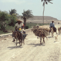
David Baxter passes by four men with donkeys and a dog on the road to Sal Rei.

http://www.ricdigitalcommons.com/Baxter_temp/CV-88-073.jpg
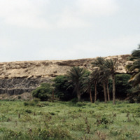
Flora alongside a road to Sal Rei.

http://www.ricdigitalcommons.com/Baxter_temp/CV-88-072.jpg
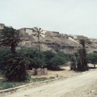
A windmill provides energy for a village along the road that leads back to Sal Rei.

http://www.ricdigitalcommons.com/Baxter_temp/CV-88-071.jpg
A village on higher ground on the road to Sal Rei.
Output Formats

atom, dcmes-xml, json, omeka-xml, rss2