Browse Items (1954 total)

http://www.ricdigitalcommons.com/Baxter_temp/CV-83-020.jpg
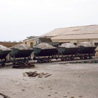
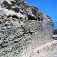
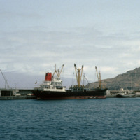
Pozolan is a naturally occurring fly ash which is an additive to cement. It reportedly enhances cement's ability to withstand the corrosive effect of sea water, and is therefore used extensively in the construction of marine docks.

Pozolan fills…

http://www.ricdigitalcommons.com/Baxter_temp/CV-83-019.jpg
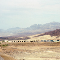
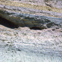
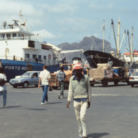
Pozolan is a naturally occurring fly ash which is an additive to cement. It reportedly enhances cement's ability to withstand the corrosive effect of sea water, and is therefore used extensively in the construction of marine docks.

http://www.ricdigitalcommons.com/Baxter_temp/CV-81-080.jpg
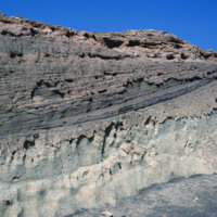
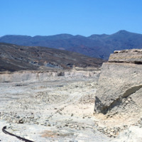
Pozolan is a naturally occurring fly ash which is an additive to cement. It reportedly enhances cement's ability to withstand the corrosive effect of sea water, and is therefore used extensively in the construction of marine docks.

http://www.ricdigitalcommons.com/Baxter_temp/CV-81-079.jpg
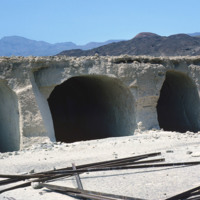
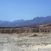
Pozolan is a naturally occurring fly ash which is an additive to cement. It reportedly enhances cement's ability to withstand the corrosive effect of sea water, and is therefore used extensively in the construction of marine docks.

http://www.ricdigitalcommons.com/Baxter_temp/CV-81-078.jpg
Pozolan is a naturally occurring fly ash which is an additive to cement. It reportedly enhances cement's ability to withstand the corrosive effect of sea water, and is therefore used extensively in the construction of marine docks.

http://www.ricdigitalcommons.com/Baxter_temp/CV-81-077.jpg
Pozolan is a naturally occurring fly ash which is an additive to cement. It reportedly enhances cement's ability to withstand the corrosive effect of sea water, and is therefore used extensively in the construction of marine docks.

http://www.ricdigitalcommons.com/Baxter_temp/CV-81-076.jpg
Pozolan is a naturally occurring fly ash which is an additive to cement. It reportedly enhances cement's ability to withstand the corrosive effect of sea water, and is therefore used extensively in the construction of marine docks.

http://www.ricdigitalcommons.com/Baxter_temp/CV-81-075.jpg
Pozolan is a naturally occurring fly ash which is an additive to cement. It reportedly enhances cement's ability to withstand the corrosive effect of sea water, and is therefore used extensively in the construction of marine docks.

http://www.ricdigitalcommons.com/Baxter_temp/CV-81-049.jpg
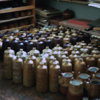
Examples of government supported pottery made for tourists in Mindelo.

http://www.ricdigitalcommons.com/Baxter_temp/CV-81-048.jpg
Examples of government supported pottery marketed at tourists. This photograph was taken in Mindelo.

http://www.ricdigitalcommons.com/Baxter_temp/CV-81-047.jpg
Examples of government supported tourist pottery in Mindelo.

http://www.ricdigitalcommons.com/Baxter_temp/CV-88-094.jpg
Two unidentified girls smile for Baxter on the island of Boa Vista.

http://www.ricdigitalcommons.com/Baxter_temp/CV-88-093.jpg
Three unidentified children pose for their portrait to be taken on the island of Boa Vista.

http://www.ricdigitalcommons.com/Baxter_temp/CV-85-067.jpg
Jeronimo Barros of New Bedford, Massachusetts poses for a photograph during his visit to Rabil on the island of Boa Vista.

http://www.ricdigitalcommons.com/Baxter_temp/CV-85-024.jpg
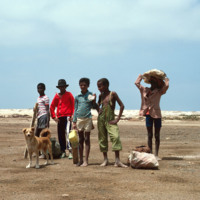
A small group of five unidentified children pose for a photo along the short trip from Sal Rei to Praia de Cabral ("Cabral Beach"). The beach is located a mere 1 to 2 miles away from the city.

http://www.ricdigitalcommons.com/Baxter_temp/CV-81-213.jpg
An unidentified woman, man and chid pictured with a Yellow Bird of Paradise bush.

http://www.ricdigitalcommons.com/Baxter_temp/CV-81-363.jpg
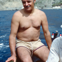
This photograph is believed to be of Eduardo Camilo, a good friend of David Baxter who served as his guide on the island of Brava.

http://www.ricdigitalcommons.com/Baxter_temp/CV-85-031.jpg
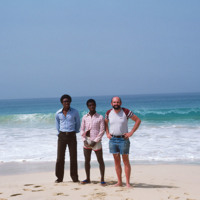
David Baxter poses with fishermen along the coast of Praia de Cabral ("Cabral Beach").

http://www.ricdigitalcommons.com/Baxter_temp/CV-88-023.jpg
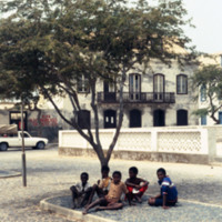
A group of five children sit under the shade of a tree just outside the play area in the Praça of Sal Rei.

http://www.ricdigitalcommons.com/Baxter_temp/CV-88-025.jpg
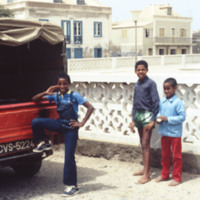
Three children pose to have their picture taken just outside the boundaries of a Praça of Sal Rei.

http://www.ricdigitalcommons.com/Baxter_temp/CV-83-029.jpg
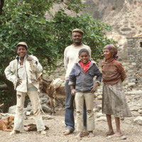
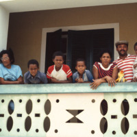
An unidentified family stands ready for their portrait to be taken in the municipality of Paul.

http://www.ricdigitalcommons.com/Baxter_temp/CV-81-208.jpg
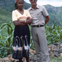
This portrait was taken by Baxter of a middle aged man and woman standing in front of a line of corn stalks in the Ribera Brava / Panja region of Cape Verde.

http://www.ricdigitalcommons.com/Baxter_temp/CV-88-096.jpg
This family portrait features seven unidentified individuals, three of them being the boys seen on slide CV88093.

http://www.ricdigitalcommons.com/Baxter_temp/CV-81-071.jpg
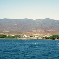
Porto Novo photographed from the ferry of the same name.

http://www.ricdigitalcommons.com/Baxter_temp/CV-81-020.jpg
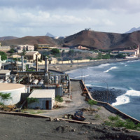
Photograph from Porto Grande looking west toward Mindelo. In the foreground, an unidentified industrial complex neighboring the port.

http://www.ricdigitalcommons.com/Baxter_temp/CV-81-014.jpg
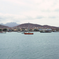
Porto Grande is photographed from the Bay of Mindelo in 1981. São Vicente has virtually no natural water supply and for years it's only major natural resource was the excellent harbor created by the Bay of Mindelo. Despite the lack of resources, the…

http://www.ricdigitalcommons.com/Baxter_temp/CV-88-122.jpg
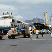
As the main port for Sao Vicente, the Porto Grande docks are bustling with activity.

http://www.ricdigitalcommons.com/Baxter_temp/CV-88-121.jpg
As the main port for Sao Vicente, the Porto Grande docks are bustling with activity.

http://www.ricdigitalcommons.com/Baxter_temp/CV-88-120.jpg
As the main port for Sao Vicente, the Porto Grande docks are bustling with activity.

http://www.ricdigitalcommons.com/Baxter_temp/CV-81-009.jpg
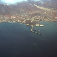
This aerial photograph shows the city Mindelo on the coast of São Vicente. Jutting off the shoreline into the water are the docks of Porto Grande. Porto Grande is the main port for São Vicente.

http://www.ricdigitalcommons.com/Baxter_temp/CV-81-021.jpg
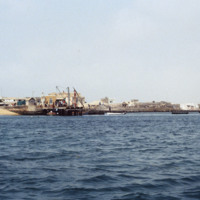
One of the docks of Porto Grande extends into the Bay of Mindelo in this sescape image. On the shore are storage facilities and some ships can be seen heading towards port. Since the island was liberated from colonial rule in the 1970s the port has…

http://www.ricdigitalcommons.com/Baxter_temp/CV-81-284.jpg
Cargo is transported to shore at Porto de Vale de Cavaleiros. This port serves the island of Fogo and is located about four kilometers north of São Felipe.

http://www.ricdigitalcommons.com/Baxter_temp/CV-81-281.jpg
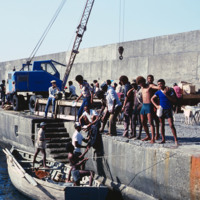
Porto de Vale de Cavaleiros, just north of São Felipe. A crane is used to life cargo from smaller wooden boats to bring to a larger ship docked a couple hundred feet off shore.

http://www.ricdigitalcommons.com/Baxter_temp/CV-81-277.jpg
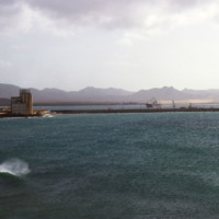
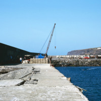
Photograph taken from the sea protection wall at Porto de Vale de Cavaleiros on Fogo. The port, approximately 4 km north of São Felipe, is also a popular place for swimming because the harbor provides some protection from the sea.

http://www.ricdigitalcommons.com/temp/5079.jpg
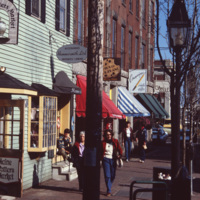
A street scene of Old Port, the historic waterfront district in downtown Portland, Maine. The neighborhood is popular for its waterfront views, galleries, and restaurants. As of 2016, this storefront located at 9 Moulton St is occupied by Mexicali…
http://www.ricdigitalcommons.com/temp/0405.jpg
Portland, Maine is located in the south coast region of the state. Portland is home to almost one quarter of Maine’s residents, and is known as the “metropolitan hub” of this region.

http://www.ricdigitalcommons.com/temp/0404.jpg
  Portland, Maine is located in the south coast region of the state. Portland is home to almost one quarter of Maine’s residents, and is known as the “metropolitan hub” of this region. 

http://www.ricdigitalcommons.com/Baxter_temp/CV-88-004.jpg
A seascape view of Sal Rei including a small dock that extends into the Atlantic Ocean. A team of dock workers can be seen unloading cargo from a small craft at the dock.

http://www.ricdigitalcommons.com/temp/5190.jpg
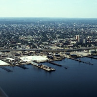
Looking west over Providence Harbor, this shot shows a portion of the ten miles of commercial waterfront on Narragansett Bay. The industrial waterfront has been “long-overlooked” despite its historic role as the source Providence’s original…
http://www.ricdigitalcommons.com/temp/4905.jpg
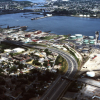
The northernmost points of Narragansett Bay, where it is fed by the Providence and Seekonk Rivers. The Port of Providence and Interstate 95 are in the foreground of the photograph. The construction of Interstate 95 effectively segregated Providence…

http://www.ricdigitalcommons.com/temp/5214.jpg
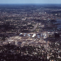
This aerial shows I-95 in the left-center and Allens Avenue at right-center heading north into downtown. Lining the western bank of Providence Harbor is the industrial waterfront which until recently had been “long-overlooked” despite its historic…
http://www.ricdigitalcommons.com/temp/1266.jpg
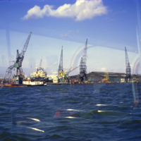
The Port of Amsterdam, the second largest port in the Netherlands, is located on the banks of the North Sea Canal. Activity in the port dates to the 13th century. This photograph taken from the North Sea Canal shows the Port of Amsterdam in 1969.

http://www.ricdigitalcommons.com/temp/0477.jpg
The population clock recording the number of births, deaths, immigrants and emigrants to the United States. The population clock reads 208,340,106 people: “An additional American every 14 1/2 seconds”.

http://www.ricdigitalcommons.com/temp/5449.jpg
  The Blackstone River is recognized by the U.S. Congress  as the birthplace of the American Industrial Revolution. It powered Slater Mill, the first successful mill in America, as well as many other factories producing everything from wire to Mr.…

http://www.ricdigitalcommons.com/temp/0731.jpg
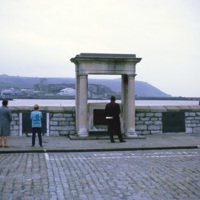
The Mayflower Steps are a monument built in the twentieth century to commemorate the location from which the Pilgrims are believed to have departed England for North America. Though the passengers had no link with Plymouth, they were forced to seek…

http://www.ricdigitalcommons.com/temp/0736.jpg
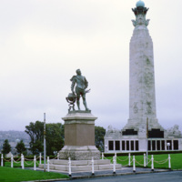
Sir Francis Drake, the first Englishman to circumnavigate the world, is memorialized in this statue at Plymouth Hoe. This was the city he sailed from in 1577 before his famous voyage, returning three years later, and was knighted by Queen Elizabeth.…

http://www.ricdigitalcommons.com/temp/5383.jpg
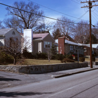
  Single family homes on Pleasant St. in Pawtucket located across from Francis J. Varieur Elementary School.

http://www.ricdigitalcommons.com/temp/0447.jpg
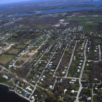
An aerial view of a planned community. Planned communities became popular in the 1960s throughout the United States. Planned communities typically made deliberate use of land that was previously unoccupied.

http://www.ricdigitalcommons.com/temp/5352.jpg
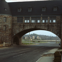
   The Towers in Narragansett are actually the remains of the Narragansett Pier Casino, which burned in 1905. Pictured here are The Towers in 1978, with Ocean Rd passing through.  They have become one of the most recognizable structures in the…

http://www.ricdigitalcommons.com/temp/5360.jpg
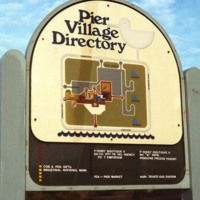
The Pier Village was developed in the 1970s. A combination of apartment housing and commercial space, the mall-like development has since been expanded to include more waterfront condos. The waterfront location had previously consisted of hotels,…
Output Formats
atom, dcmes-xml, json, omeka-xml, rss2