Dublin Core
Title
Port of Providence
Description
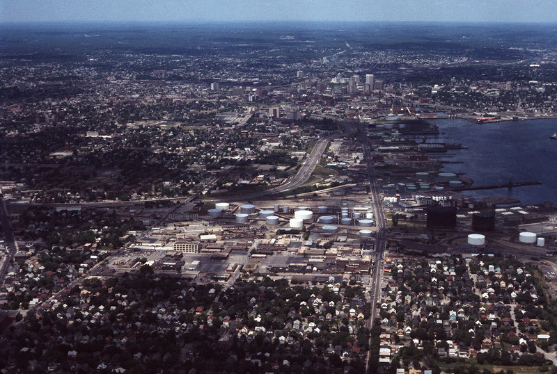
This aerial shows I-95 in the left-center and Allens Avenue at right-center heading north into downtown. Lining the western bank of Providence Harbor is the industrial waterfront which until recently had been “long-overlooked” despite its historic role as the source Providence’s original prosperity. Today it stands as one of only two deep-water ports in New England, and one of the busiest multimodal facilities for international and domestic distribution.
Creator
Chester Smolski
Date
1978-06-01
Rights
Rhode Island College
Format
Photograph
Photograph
Identifier
5214
Smolski Image Item Type Metadata
City
Providence
Country
United States of America
Library of Congress Subject Headings
Aerial photography in land use -- Rhode Island -- Providence; Land use, Urban -- Rhode Island -- Providence; Providence, R.I. -- Buildings, structures, etc.; United States Highway 95 (Providence, R.I.)
Region
Rhode Island
