Browse Items (993 total)
  • Collection: Chester Smolski Photographs

5211.jpg
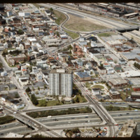
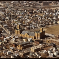
The Federal Hill neighborhood is home to approximately 8,000 residents and has been the traditional center of Rhode Island

1241.jpg
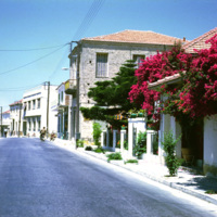
This photograph was taken in Greece during the Greek military junta of 1967-1974. It was a time of unrest, military rule, and violence in Greece. Smolski notes,

1129.jpg
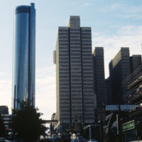
Built in 1976, the Westin Peachtree Plaza Hotel stood 73 stories tall as Atlanta

5517.jpg
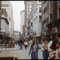
The Westminster Street shopping area was closed to vehicle traffic in the early 1960s in an effort to bring shoppers back to downtown Providence. The buildings in the area varied in architectural style. Some buildings have been removed, yet…

5398.jpg


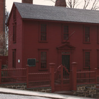
In 1743, Stephen Hopkins purchased a home built in 1707. Hopkins attached his own two-story house to the structure, built with a single ground floor room on either side of a central hallway and two chimneys

5397.jpg
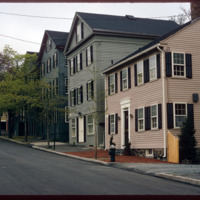
The East Side of Providence is populated with historic homes. The area known as College Hill and Benefit Street are particularly ripe with historic homes built in the late 18th century, before and after the American Revolution. The federal style of…

5281.jpg
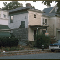
207 Morris Avenue was built by John George McIntosh in 1892, and is known as the John G. McIntosh House. McIntosh purchased the plot of land in 1887 for $10 and built his home on the East Side. The house is pictured on the left of the…

5260.jpg
Randall Square was a site of dense industrial complexes which included these mills that were destroyed. Most of the land in this area was either underused or vacant much like many lands in Providence during the late 1960

5238.jpg
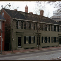
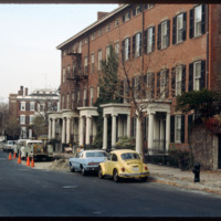
Athenaeum Row located on Benefit Street, designed and constructed by Tallman & Bucklin in 1845. The row housing was built for Thomas Poyton Ives and provided income for his heirs.

5127.jpg
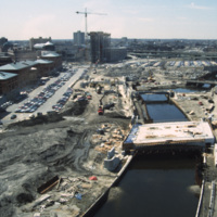
River relocation in progress. Waterplace Park is being developed with its bridges (Exchange St., Francis St., and pedestrian walkways) built or under construction. Memorial Boulevard is for now a construction site. The Westin Hotel is being erected…

5125.jpg
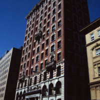
A 12-story, brick and stone sheathed, steel frame office building. Finished with a melange Renaissance and late Georgian Revival detailing. Corinthian column entrance, bas-relief figures of an Indian and a Puritan, carved by Daniel Chester French,…

5123.jpg
Ebenezer Knight Dexter bequeathed this large parcel to the Town of Providence upon his death. In the 1840s, this was only a 10-acre tract for militia training. At the turn of the century it was supplanted by the new building seen today. It is by far…

5122.jpg
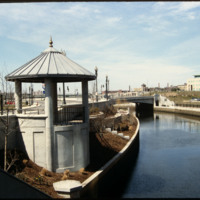
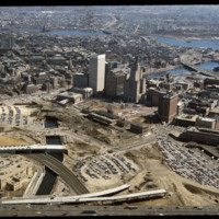
This image shows the transformation of Capital Center in progress. Francis Street construction is complete up until the over-passed train tracks and the bridge over the Woonasquatucket River. The former train tracks have been removed, but the land…

http://www.ricdigitalcommons.com/temp/5079.jpg
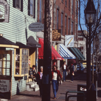
A street scene of Old Port, the historic waterfront district in downtown Portland, Maine. The neighborhood is popular for its waterfront views, galleries, and restaurants. As of 2016, this storefront located at 9 Moulton St is occupied by Mexicali…

http://www.ricdigitalcommons.com/temp/5037.jpg
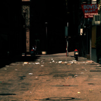
Downtown Providence in the early 1970s. Bovi's Records was an independent record store, owned by Bob Bovi, who was a contributor to the underground music scene in Providence in the 70s. He also ran a label called Bovi Records, owned another music…

http://www.ricdigitalcommons.com/temp/4982.jpg
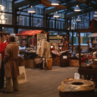
Faneuil Hall in Boston was expanded in 1826 to include Quincy Market, which was designed in the Greek Revival Style and later named after Major Josiah Quincy. The market became run-down in the mid 1900's, but was revitalized by Jim Rouse, architect…

http://www.ricdigitalcommons.com/temp/4971.jpg
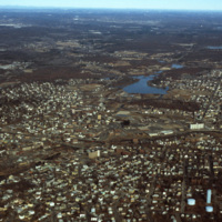
Downtown Woonsocket in 1979, featuring a view of Harris Pond and the Blackstone River. The Oak Hill Cemetery and the World War II Veterans Memorial Park can also be seen from the photo. Around the time this photo was taken, Woonsocket became the host…

http://www.ricdigitalcommons.com/temp/4950.jpg
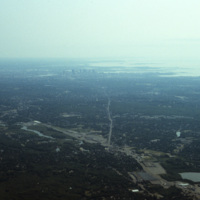
An aerial photo showing the skyline of the city Boston and the cloudy Quincy Bay to its right.

http://www.ricdigitalcommons.com/temp/4949.jpg
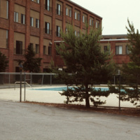
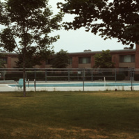
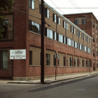
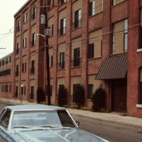
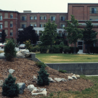
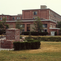
The Millhaus at Mansfield is a condominium community near downtown Mansfield, Massachusetts. Built in the early 1970s, the community exemplifies a stage of urban development in Mansfield when the town was being urbanized and community housing…

Tags: ,

http://www.ricdigitalcommons.com/temp/4948.jpg
The Millhaus at Mansfield is a condominium community near downtown Mansfield, Massachusetts. Built in the early 1970s, the community exemplifies a stage of urban development in Mansfield when the town was being urbanized and community housing…

Tags: ,

http://www.ricdigitalcommons.com/temp/4947.jpg
The Millhaus at Mansfield is a condominium community near downtown Mansfield, Massachusetts. Built in the early 1970s, the community exemplifies a stage of urban development in Mansfield when the town was being urbanized and community housing…

Tags: ,

http://www.ricdigitalcommons.com/temp/4946.jpg
The Millhaus at Mansfield is a condominium community near downtown Mansfield, Massachusetts. Built in the early 1970s, the community exemplifies a stage of urban development in Mansfield when the town was being urbanized and community housing…

Tags: ,

http://www.ricdigitalcommons.com/temp/4945.jpg
The Millhaus at Mansfield is a condominium community near downtown Mansfield, Massachusetts. Built in the early 1970s, the community exemplifies a stage of urban development in Mansfield when the town was being urbanized and community housing…

http://www.ricdigitalcommons.com/temp/4944.jpg
The Millhaus at Mansfield is a condominium community near downtown Mansfield, Massachusetts. Built in the early 1970s, the community exemplifies a stage of urban development in Mansfield when the town was being urbanized and community housing…

Tags: ,

http://www.ricdigitalcommons.com/temp/4943.jpg
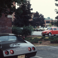
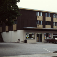
An apartment building with a convenience store on its first floor. This fusion of living and consumerism perhaps exemplifies a stage of urban development in Mansfield when the town was being urbanized and community housing encouraged.

http://www.ricdigitalcommons.com/temp/4942.jpg
The Millhaus at Mansfield is a condominium community near downtown Mansfield, Massachusetts. Built in the early 1970s, the community exemplifies a stage of urban development in Mansfield when the town was being urbanized and community housing…

Tags: ,

http://www.ricdigitalcommons.com/temp/4941.jpg
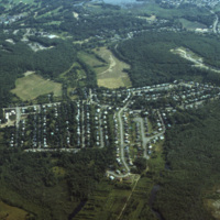
An aerial photo showing a housing subdivison located to the south of Boston, Massachusetts.

http://www.ricdigitalcommons.com/temp/4940.jpg
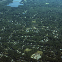
An aerial photo showing scattered housing located to the south of Boston, Massachusetts. The photo seems to overlook the town of Brockton, with Waldo Lake and Thirtyacre Pond at the top of the frame and with what is now the West Middle School at the…

http://www.ricdigitalcommons.com/temp/4939.jpg
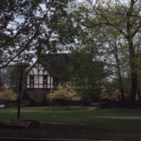
This 2 1/2-story Tudor Revival house was designed by Prescott O. Clarke. Clarke was a principal in the architectural firm Clarke & Spaulding and designed the home for his own residence. The home was one of the first Tudor Revival houses in Providence…

http://www.ricdigitalcommons.com/temp/4938.jpg
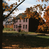
A historical saltbox house in Litchfield, Connecticut. The saltbox style is a Colonial design that originated in New England in around 1650. They are characterized by having two stories in the front of the house and only one in the back, with a small…

http://www.ricdigitalcommons.com/temp/4937.jpg
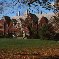
Jacob Ruppert Jr.'s private estate at Eagle's Rest, in Garrison, NY. After his death in 1939, the estate was converted into a school for at-risk children called Saint Basil Academy, opening in 1944. Long before Ruppert or the Academy, the property…

http://www.ricdigitalcommons.com/temp/4936.jpg
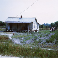
Smolski described this as being part of the "rural slums" of North Carolina. In the 1970s, rural North Carolina was poverty-stricken and held the larger populations of African-American families. This photo is an example of the economic distress and…

http://www.ricdigitalcommons.com/temp/4935.jpg
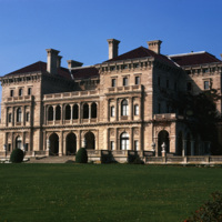
The Cornelius Vanderbilt II House was designed by Richard Morris Hunt in 1895 after its destruction in a fire in 1892. This home was originally a wood-frame house named The Breakers designed by Peabody and Stearns in 1877 and owned by Pierre…

http://www.ricdigitalcommons.com/temp/4933.jpg
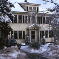
A single family home in the Blackstone neighborhood on Providence’s East Side, photographed during the winter of 1974. The East Side is the oldest, and most affluent section of Providence, containing some of the states earliest settlements.

4931.jpg
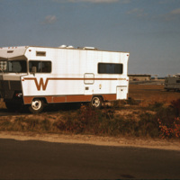
A Winnebago RV camping in Cape Cod, Massachusetts. A transportable residence, different from Smolski's usual documentation of permanent and non-moveable urban homes.

http://www.ricdigitalcommons.com/temp/4929.jpg
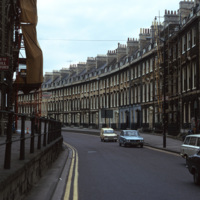
A street of Georgian townhouses in the city of Bath, in Somerset, England. The Hay Hill Baptist Church is on the left.

The layout of the city of Bath was established by John Wood the Elder from 1728 to 1775, where he and then his son, John Wood the…

http://www.ricdigitalcommons.com/temp/4928.jpg
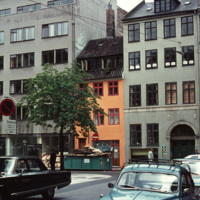
Example of a Copenhagen street scene, with a dairy shop on the far right and a wholesale agency next to it. The grey building on the far left belonged to the bicycle company Simonsen & Nielsen. The Danish movie director Jøneth Leth most likely filmed…

http://www.ricdigitalcommons.com/temp/4925.jpg
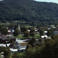
Aerial image of the downtown village of South Royalton in Royalton, Vermont from Interstate 89. Royalton is known for the Vermont Law School (Vermont's only law school) as well as being home to beautiful scenery such as the Kent's Ledge hiking trail…

http://www.ricdigitalcommons.com/temp/4918.jpg
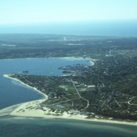
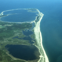
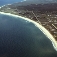
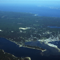
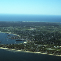
An aerial view of Nantucket Island and its harbor, in Massachusetts. Nantucket lies thirty miles south of Cape Cod, and is approximately fifteen miles in length. The town of Nantucket includes Nantucket Island as well as Tuckernuck Island, Muskegat…

http://www.ricdigitalcommons.com/temp/4917.jpg
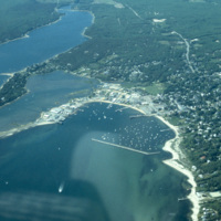
An aerial view of Nantucket Island and its harbor, in Massachusetts. Nantucket lies thirty miles south of Cape Cod, and is approximately fifteen miles in length. The town of Nantucket includes Nantucket Island as well as Tuckernuck Island, Muskegat…

http://www.ricdigitalcommons.com/temp/4916.jpg
Ray, the pilot who flew for (at least some of) Smolski's aerial photography.

http://www.ricdigitalcommons.com/temp/4915.jpg
An aerial view of Nantucket Island and its harbor, in Massachusetts. Nantucket lies thirty miles south of Cape Cod, and is approximately fifteen miles in length. The town of Nantucket includes Nantucket Island as well as Tuckernuck Island, Muskegat…

http://www.ricdigitalcommons.com/temp/4914.jpg
An aerial view of Nantucket Island in Massachusetts. Nantucket lies thirty miles south of Cape Cod, and is approximately fifteen miles in length. The town of Nantucket includes Nantucket Island as well as Tuckernuck Island, Muskegat Island, and a…

http://www.ricdigitalcommons.com/temp/4913.jpg
An aerial view of Nantucket Island and its harbor, in Massachusetts. Nantucket lies thirty miles south of Cape Cod, and is approximately fifteen miles in length. The town of Nantucket includes Nantucket Island as well as Tuckernuck Island, Muskegat…

http://www.ricdigitalcommons.com/temp/4912.jpg
An aerial view of Nantucket Island and its harbor, in Massachusetts. Nantucket lies thirty miles south of Cape Cod, and is approximately fifteen miles in length. The town of Nantucket includes Nantucket Island as well as Tuckernuck Island, Muskegat…

http://www.ricdigitalcommons.com/temp/4904.jpg
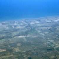
A view of Lake Ontario and Rochester, NY in the early 1970s. Lake Ontario is the fourteenth largest lake in the world, and one of the Great Lakes of America -- Rochester, NY is often called a Great Lake City for this reason.

http://www.ricdigitalcommons.com/temp/4900.jpg
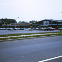
The Willingboro Plaza in Levittown, New Jersey was a 614,000-square-foot regional shopping center that was built as a centerpiece of the city. After 7 years of construction, Willingboro Plaza was completed in 1967 with featured stores like Acme,…

http://www.ricdigitalcommons.com/temp/4899.jpg
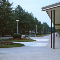
The Levittown Shop-a-Rama, originally called the Levittown Shopping Center, was a pedestrian shopping mall, planned and developed by William Levitt, the then-president of Levitt and Sons, a real estate development agency responsible for building the…
Output Formats

atom, dcmes-xml, json, omeka-xml, rss2