Browse Items (993 total)
  • Collection: Chester Smolski Photographs
http://www.ricdigitalcommons.com/temp/0989.jpg
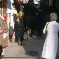
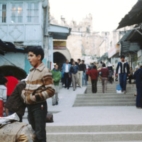
Old City Jerusalem host’s a market made of long alley ways which cross through the Christian, Muslim and Jewish borders. This photograph shows the colorful and claustrophobic atmosphere of one of the alley way markets.

http://www.ricdigitalcommons.com/temp/0990.jpg
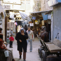
Jerusalem’s Old City market is made up of alleyways that cross the Christian, Muslim and Jewish sections of Old City Jerusalem. This photograph was taken in 1980 and shows the close arrangement of stands in the alleyway markets.

http://www.ricdigitalcommons.com/temp/1000.jpg
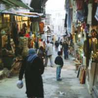
Old City Jerusalem host’s a market made of long alley ways which cross through the Christian, Muslim and Jewish quarters. This photograph shows the colorful and slightly claustrophobic atmosphere of one of the market place.

http://www.ricdigitalcommons.com/temp/1002.jpg
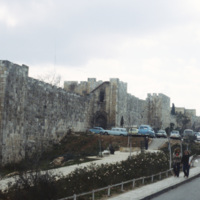
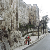
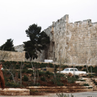
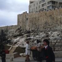
This photograph shows the south wall near the Jaffa Gate. The south wall borders the Jewish quarter in Old City Jerusalem. The present walls were built during the Ottoman empire in the sixteenth century, but the city has historicaly been fortified…

http://www.ricdigitalcommons.com/temp/1003.jpg
This photograph shows the south wall near the Jaffa Gate. The south wall borders the Jewish quarter in Old City Jerusalem. The present walls were built during the Ottoman empire in the sixteenth century, but the city has historically been fortified…

http://www.ricdigitalcommons.com/temp/0984.jpg
Also know as Lions Gate, St. Stephen’s Gate is located on the eastern end of the Old City. It was thought that the first Christian martyr was stoned right outside of this gate, giving it it’s original name. The name Lions Gate only came about because…

http://www.ricdigitalcommons.com/temp/0974.jpg
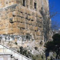
A detail of the Phasael Tower photographed in 1980. Archaeological expeditions have revealed that the tower, built by Herod between 37-4 B.C.E., was incorporated into the First Wall. Three towers were built by Herod, they were razed in A.D. 70. What…

http://www.ricdigitalcommons.com/temp/0972.jpg
The Phasael Tower is the last extant tower built by Herod during his rule from 37 to 4 B.C.E.. Originally three towers were built on the north-west angle of the First Wall, each equipped with battlements and turrets. The surving section of the…

http://www.ricdigitalcommons.com/temp/0982.jpg
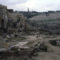
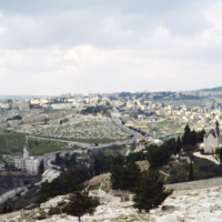
Seen in the distance amongst the ruins is Mount of Olives, also known as Har HaZeitim, in Jerusalem. The hill is 2,900 feet tall consists of 3 summits with a tower on each. The hill is one of the city’s most religious places and acts as the main…

http://www.ricdigitalcommons.com/temp/0994.jpg
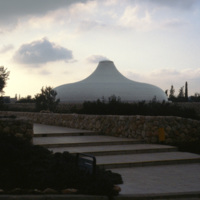
The Shrine of the Book is a museum built to house the Dead Sea Scrolls, which were discovered between 1947 and 1956. The unusual design for the dome was based on imagery from one of the scrolls, specifically the War of the Sons of Light Against the…

http://www.ricdigitalcommons.com/temp/0995.jpg
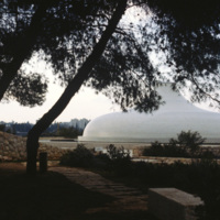
This unique structure is the Shrine of the Book, a wing of the Israel Museum that is home to the Dead Sea Scrolls. The dome has been used in several science fiction due to it’s unique design which is based on imagery from the Scroll of the War of the…

http://www.ricdigitalcommons.com/temp/0948.jpg
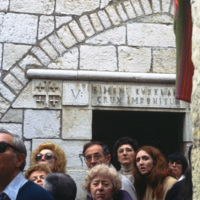
The stations of the cross were codified by Leonardo of Porto Maurizo, a Franciscan, who established the fourteen stations along Christs walk with the cross. This photograph is of the fifth station, as represented in the Via Dolorosa in Jerusalem. …

http://www.ricdigitalcommons.com/temp/1010.jpg
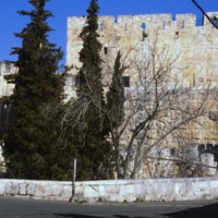
A photograph of the south wall taken from outside of Old City Jerusalem. This wall was constructed during the Ottoman in the sixteenth century, but Jerusalem has a long history of being a fortified city with city walls dating back to ancient times.

http://www.ricdigitalcommons.com/temp/0979.jpg
The Southeast end of the Eastern Wall in Jerusalem is also known as the east side of the Temple Mount wall. Clearly visible in the photo is the change in stone/pattern after about the 9th row. This is due to the fact that the Romans destroyed the…

http://www.ricdigitalcommons.com/temp/0999.jpg
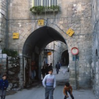
The Jaffa Gate is a gate to the Old City district of Jerusalem. This 1980 photograph shows a street scene in front of the Jaffa Gate and some of the surrounding structures.

http://www.ricdigitalcommons.com/temp/1015.jpg
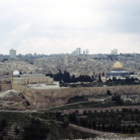
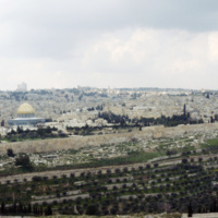
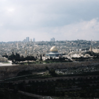
The Mount of Olives is another highly religious geological point in Israel. Named for the multitude of olive trees that used to habituate the area, the Mount of Olives spans a length of around 2 miles and has its highest point at 818 meters. Several…

http://www.ricdigitalcommons.com/temp/1012.jpg
At the heart of Jerusalem lies the 35 acre spread of land known as The Noble Sanctuary. Its inner workings consist of various buildings and structures of importance to the country of Israel. These include: The Dome of the Rock, the Al-Aqsa Mosque,…

http://www.ricdigitalcommons.com/temp/1013.jpg
Pictured is one of the holiest sites in Jerusalem, The Noble Sanctuary. The walls holding in all of the sanctuary’s contents are clearly visible in this photo. It is believed by many that these grounds were once the location of the Temple of Solomon.…

http://www.ricdigitalcommons.com/temp/1030.jpg
At the heart of Jerusalem lies the 35 acre spread of land known as The Noble Sanctuary. Its inner workings consist of various buildings and structures of importance to the country of Israel. These include: The Dome of the Rock, the Al-Aqsa Mosque,…

http://www.ricdigitalcommons.com/temp/0967.jpg
This photograph taken from the Noble Sanctuary shows the al’Aqsa Mosque at frame right. It also shows Israeli soldiers, tourists, and religious pilgrims at the site. The Noble Sanctuary contains the Dome of the Rock and al’Aqsa Mosque, two important…

http://www.ricdigitalcommons.com/temp/1035.jpg
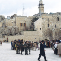
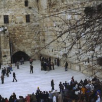
The Noble Sanctuary is home to a number of religiously significant sites and structures. This photograph shows a mass of visitors at the Western Wall, also known as the Wailing Wall (19th century) because of the cries of visitors overcome by emotion…

http://www.ricdigitalcommons.com/temp/0968.jpg
The Western Wall is a remnant of an ancient Jewish Temple constructed in 19 BCE. Since the fourth century it has been a destination for Jewish pilgrims since the fourth century. The Western Wall has been described as the Wailing Wall since the 19th…

http://www.ricdigitalcommons.com/temp/0998.jpg
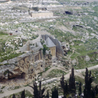
This photograph show’s two of the monumental tombs in Kidron Valley. The tomb at the left is the Bene Hezir tomb, or Sons of Hezir. The tomb is carved into rock with a porch featuring a Doric style facade. It is the oldest tomb in the Kidron Valley…

http://www.ricdigitalcommons.com/temp/0965.jpg
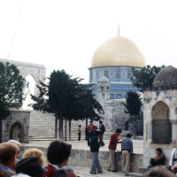
The Dome of the Rock, the oldest surviving Muslim monument, is built around the foundation stone. The need to build around the holy rock influenced it’s unusual floor plan. The Dome of the Rock’s form is that of an octagon, with four salient…

http://www.ricdigitalcommons.com/temp/0992.jpg
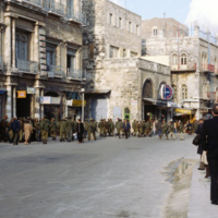
The Jaffa Gate, which was also known as the Bethlehem Gate, the Hebron Gate and the Pilgrim’s Gate, is one of eight gates in Jerusalem’s Old City walls. It is located near the Citadel and the Phasael Tower. This 1980 photograph show’s Israeli troops…

http://www.ricdigitalcommons.com/temp/0986.jpg
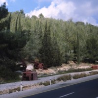
This photograph taken along the highway entering Jerusalem shows rusting truck chasis’ as a reminder of the 1948 Arab-Israeli War. Smolski writes about the dangers faced by convoys entering the city during the war in his 1980 article Glorious…

http://www.ricdigitalcommons.com/temp/0940.jpg
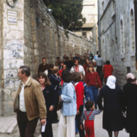
This photograph is taken on the Via Dolorosa, a street in Jerusalem which is believed a section of the path Jesus walked on his way to his crucifixion. Traditionally it is the route from Pilate’s house to Golgotha, and there is a long tradition of…

http://www.ricdigitalcommons.com/temp/0970.jpg
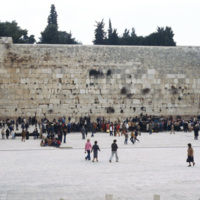
Nestled in the Old City of Jerusalem lays the Western Wall. This wall, being exposed only 62 feet in length, acts as a support for the Temple Mount. Before 1867, it was believed that the wall consisted of 24 rows of stones, making it around 18 meters…

http://www.ricdigitalcommons.com/temp/0971.jpg
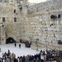
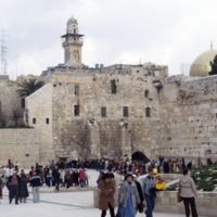
Seen in this picture are large crowds of Jewish folk that have come to pray at the wall. The prayer area, in which you will see varying amounts of people at varying times, is dedicated to the lower square near the wall. It is believed that the Divine…

http://www.ricdigitalcommons.com/temp/1054.jpg
At about 1600 feet, the Western Wall is the longest of the four walls retaining the Temple Mount. It is mainly noted for its tourism and frequent visitors, as it is a famous Jewish prayer area for the people of Israel.

http://www.ricdigitalcommons.com/temp/0969.jpg
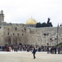
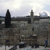
This 1980 photograph shows the Western Wall, al’Aqsa Mosque and the Dome of the Rock. The Western Wall is also known as the Wailing Wall because of the intense emotions stirred by its history. All these sites are enclosed by the Noble Sanctuary, and…

http://www.ricdigitalcommons.com/temp/5118.jpg
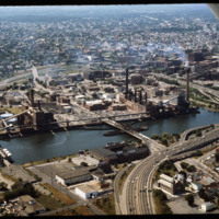
Manchester Street Power Station (1904) is a Georgian power house located on 12 acres in Providence, Rhode Island. It produces enough electricity to power about 112,000 homes, using natural gas as its fuel. Manchester Street consists of three…

http://www.ricdigitalcommons.com/temp/5377.jpg
The former home of John Barstow at 60 Waterman Street in the College Hill neighborhood. The East Side is also home to Brown University, the Rhode Island School of Design, and several historic homes and buildings.

John Barstow (1791-1861) was a…

http://www.ricdigitalcommons.com/temp/5389.jpg
One of America's grandest mansions when completed in 1788, the house at 52 Power Street was home first to John Brown, a businessman, patriot, politician, China Trade pioneer and slave trader who participated in the debates and practices that shaped…

http://www.ricdigitalcommons.com/temp/5402.jpg
  One of America's grandest mansions when completed in 1788, the house at 52 Power Street was home first to John Brown, a businessman, patriot, politician, China Trade pioneer and slave trader who participated in the debates and practices that shaped…

5281.jpg
207 Morris Avenue was built by John George McIntosh in 1892, and is known as the John G. McIntosh House. McIntosh purchased the plot of land in 1887 for $10 and built his home on the East Side. The house is pictured on the left of the…

http://www.ricdigitalcommons.com/temp/4841.jpg
The Joseph and William Russell House was a once-handsome and sophisticated dwelling in the late Georgian Style, and is the earliest remaining example of the kind of three story, cubicle brick houses that were built to symbolize in 18th century…

http://www.ricdigitalcommons.com/temp/0726.jpg
This photo from Kavala is dated October 1968. A year and a half earlier the Greek military lead a coup d’etat and the country went into a police state in which torture was common, and all activities were under surveillance. In late 1967 King…

http://www.ricdigitalcommons.com/temp/4787.jpg
This photo was taken in 1979 and shows the deconstruction of a parking garage in front of Union Station on Exchange Terrace. Union Station was designed by Stone, Carpenter, and Willson in 1893 and constructed three years later by the New York, New…

http://www.ricdigitalcommons.com/temp/5157.jpg
The area that comprises Kennedy Plaza and Exchange Terrace has been so constantly reworked that hardly ten years passes without its appearance being significantly altered. According to Woodward, tracking all these alterations in order to “fully…

http://www.ricdigitalcommons.com/temp/4846.jpg
In the foreground are Union Station, Burnside Park and the Federal Building Annex. This view gives a sense of the separation that existed between downtown and the Capital Center prior to redevelopment in the 1980s and 1990s. On the right, the…

http://www.ricdigitalcommons.com/temp/5156.jpg
According to Jordy, Walker and Gillette’s Industrial National Bank Building (1926-8) is still Providence’s finest skyscraper as it is a “superbly Art Deco culmination of the Providence skyline in a major example of a setback.” Though stepped…

http://www.ricdigitalcommons.com/temp/0568.jpg
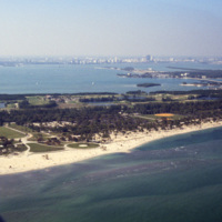
This west facing aerial photograph shows Key Biscayne and, on the horizon, Downtown Miami. Seen here on Key Biscayne is Crandon Park and Crandon Park Golf Course. Crandon Beach was formally a zoo, but is now a park where creatures like turtles,…

http://www.ricdigitalcommons.com/temp/1227.jpg
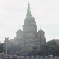
The Annunciation Cathedral is a Neo-Byzantine building in Kharkiv, Ukraine. It was designed at the end of the Byzantine Revival by Mikhail Lovtsov, an architect local to Kharkiv. Completed in 1901, it’s 80-meter bell tower made it one of the tallest…

1213.jpg
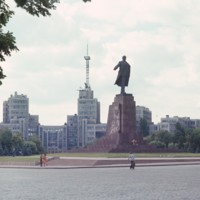
Chet Smolski describes this building as a science research building of the 1920s. This building is part of Karazin Kharkov National University. The park from which the photo was taken is called Svobody Square or Freedom Square. The building is a…

http://www.ricdigitalcommons.com/temp/0420.jpg
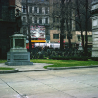
  King’s Chapel is an Anglican congregation that was organized in 1686. King’s Chapel was a small wooden chapel located on the corner of Tremont and School streets in Boston. Construction of King’s Chapel “Stone Chapel” began in 1749 and was…

http://www.ricdigitalcommons.com/temp/0615.jpg
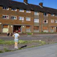
This image shows low-income housing in Kirkby, a town in the Metropolitan county Merseyside. This slide is labeled as ‘slum housing’. Kirkby, which was once largely farmland, experienced massive growth following the destruction in Liverpool during…

http://www.ricdigitalcommons.com/temp/0459.jpg
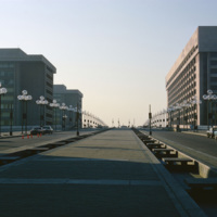
L’Enfant Plaza in Washington D.C. is a complex of several commercial and government buidlings. “La Promenade” shopping mall is also a part of the plaza. Named for Pierre Charles L’Enfant, the man responsible for the design and plan of Washington…

http://www.ricdigitalcommons.com/temp/0452.jpg
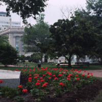
Lafayette Park, or Lafayette Square, is a seven acre public park located in Washington D.C. Lafayette Park is directly across from the White House on Pennsylvania Avenue. Originally part of the White House grounds, Pennsylvania Avenue bisected what…

http://www.ricdigitalcommons.com/temp/0437.jpg
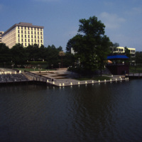
  The Tree of Life sculpture, commonly referred to as the “People Tree”, is the symbol of Columbia, Maryland. The People Tree is located next to The Rouse Company headquarters (the large building in the background) along the bank of Lake…
Output Formats

atom, dcmes-xml, json, omeka-xml, rss2