Browse Items (993 total)

  • Collection: Chester Smolski Photographs

http://www.ricdigitalcommons.com/temp/0841.jpg
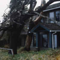
Stormy conditions and harsh winds in the coastal town of Canon Beach have sculpted the tree’s around the houses. This photograph shows the peculiar growth of the trees around a house. (date of photograph has been approximated)

http://www.ricdigitalcommons.com/temp/5252.jpg
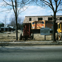
The new establishment of an apartment housing community in Taunton, MA. The sign reads: Canterburry Apartments at Taunton. An example of urban development in Massachusetts in the early 1970s.

http://www.ricdigitalcommons.com/temp/5128.jpg
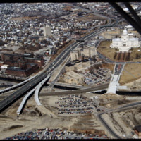
In this 1987 view the newly constructed Francis Street approach to the State House is complete thru the future intersection with Memorial Blvd. Interstate 95 separates Providence's West Side from downtown. The Foundry Building is on the left side of…

http://www.ricdigitalcommons.com/temp/4859.jpg
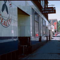
From 1927 to 1928, the building at 180 Pine Street was occupied by Boston Radiator/Rock and Englebrook Bowling. The building is a large, two story, flat-roofed, brick and concrete building that once had a simple parapet covering its facade. From 1929…

http://www.ricdigitalcommons.com/temp/0494.jpg
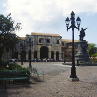
The oldest cathedral in the Americas is Catedral Santa Maria la Menor located in Santo Domino, the capital of the Dominican Republic. The Dominican Republic was the first island in the Americas to be taken over by the Spanish after Christopher…

http://www.ricdigitalcommons.com/temp/4850.jpg
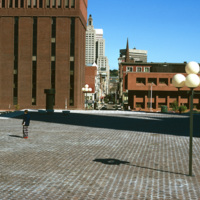
Intended to be a marvelous plaza inspired by European models, Cathedral Square is considered a problematic and failure of a space. E.F. Kennedy's Roman Catholic Chancery Office and auditorium (1966-67) blocks the axis of Westmister Street and is a…

http://www.ricdigitalcommons.com/temp/5263.jpg
According to Woodward, Cathedral Square is the “most problematic of Providence’s open spaces.” Despite being designed by world class architects and urban planners, namely I.M. Pei and Zion & Breen, the space has been universally decried as an…

http://www.ricdigitalcommons.com/temp/5032.jpg
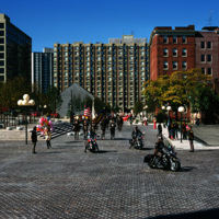
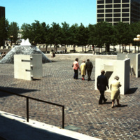
Cathedral Square on Columbus Day, 1974.

http://www.ricdigitalcommons.com/temp/4909.jpg
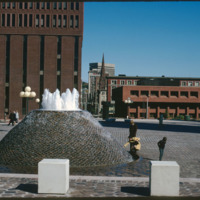
Several sculptures on Cathedral Square. This square was designed by I.M. Pei and Zion & Breen in 1969. It was intended to become a popular plaza but nothing more was added to the space and so it remained empty.

http://www.ricdigitalcommons.com/temp/5222.jpg
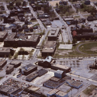
In the aerial, Classical and Central High schools can be seen. Classical High School, located on Westminster Street, was founded in 1843. The building that stands today was completed by 1970 and is one of the few buildings in the area created in the…

http://www.ricdigitalcommons.com/temp/5447.jpg
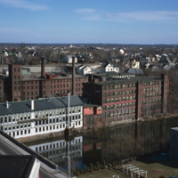
Central Falls Mill Complex in 1971. Now titled The Central Falls Mill Historic District, the complex includes a collection of six mill buildings that display pre- to post- Civil War construction examples and a stone dam that impounds the Blackstone…

http://www.ricdigitalcommons.com/temp/5270.jpg
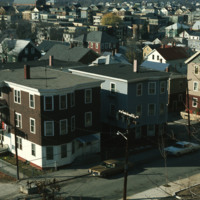
  Elevated view of Central Falls apartment homes on Fletcher St., adjacent to Jenks Park. Located within Jenks Park is the historic landmark Cogswell Tower. The parcel of land for the park was donated by Alvin Jenks in 1890 and built around Dexter’s…

http://www.ricdigitalcommons.com/temp/4804.jpg
Chad Brown is a public housing complex in Wanskuck neighborhood that was built in 1951 but remodeled and renovated between 1986 and 1989.

http://www.ricdigitalcommons.com/temp/1078.jpg
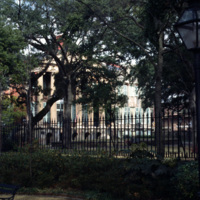
The College of Charleston is one of the oldest institutions of higher learning in the United States. It was founded in 1770. This photograph shows the quad and an obscured view of Randolph Hall. The building was created in two parts, the center of…

http://www.ricdigitalcommons.com/temp/5240.jpg
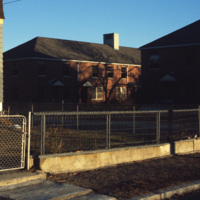
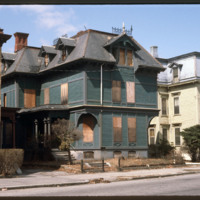
  Charles A. Hopkins House, built in the French Modern Gothic style. The two units appear as different halves of an asymmetrical composition. The simulated structure enframes openings and decorative panels. The house was built for an insurance agent.

http://www.ricdigitalcommons.com/temp/5237.jpg
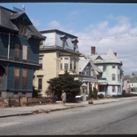
Pictured on the far left is the Charles A. Hopkins House built in 1875 on Parade Street. Purchased in October 1980 by the Providence Preservation Society, this house was the society’s first restoration project in this neighborhood. The building style…

http://www.ricdigitalcommons.com/temp/4791.jpg
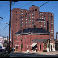
The Charlesgate apartment complex in Providence. The complex is now known as the Charlesgate Nursing Center. The Firehouse Greenery, which no longer exists, is also featured in the photo.

http://www.ricdigitalcommons.com/temp/1076.jpg
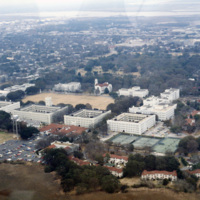
This photograph, taken in the late 1970s, is an aerial view of the Citadel: Military College of South Carolina. The Romanesque design of the buildings was based on the architecture of the Old Citadel, which was designed by Frederick Wesner in…

http://www.ricdigitalcommons.com/temp/1077.jpg
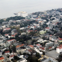
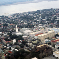
This aerial photograph of downtown Charleston shows the city’s low rise skyline along the Charleston Harbor. At the top center of the photograph is the Fort Sumter Hotel, a seven story structure that towers over the residential surroundings. Designed…

http://www.ricdigitalcommons.com/temp/1094.jpg
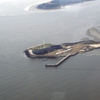
This aerial photograph shows Fort Sumter, a historic military fortification that is best remembered as the first battle of the Civil War. Though a coastal fortification, Fort Sumter, located in Charleston Harbor, is accessible only by boat. It is now…

http://www.ricdigitalcommons.com/temp/1093.jpg
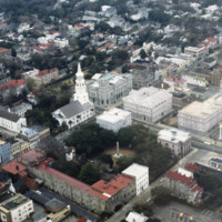
The intersection of Broad and Meeting, seen here in this aerial photograph, is known as the Four Corners of Law, because of St. Michael’s Church (Divine), City Hall (local), the Charleston County Courthouse (County), and the U.S. Post Office and…

http://www.ricdigitalcommons.com/temp/1080.jpg
This aerial photograph shows Hampton Park and the Citadel: Military College of South Carolina. Hampton Park, named for Confederate General Wade Hampton III, was the site of a race track, a prisoner of war camp, a plantation, and even a trade…

http://www.ricdigitalcommons.com/temp/1084.jpg
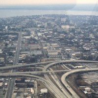
This aerial captures the meeting of Highway 26 with U.S. 17 in downtown Charleston, South Carolina. Highway 26 consists of the major roads running horizontal to the right of the split, while U.S. 17 runs perpendicular to it and continues veering off…

http://www.ricdigitalcommons.com/temp/1075.jpg
With a 2010 census of 120,083 people, Charleston is South Carolina’s second largest city. Also known as The Holy City, Charleston is known for its religious tolerance as many Huguenots have settled here. This neighborhood lies on the peninsula formed…

http://www.ricdigitalcommons.com/temp/1085.jpg
This aerial photograph shows housing around the borders of Charleston International Airport. The airport is a joint civil-military airport, which was privately constructed in the 1920s. During World War II the US Army began using the airport as part…

http://www.ricdigitalcommons.com/temp/1074.jpg
Originating in 1890, Hyman’s Wholesale Co. was established by W.M. Karesh, a Jewish immigrant. The company has been passed down from generation to generation and is now known as Hyman’s Seafood and Aaron’s Deli. In the year of 1986, the Omni hotel…

http://www.ricdigitalcommons.com/temp/1092.jpg
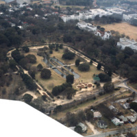
The rectangular plot of land seen in the center of this aerial shot is known as Marion Square. The grounds are home to many monuments as well as the South Carolina State Arsenal, aka the Old Citadel. The tall statue to the middle left of the area is…

http://www.ricdigitalcommons.com/temp/1082.jpg
This aerial photograph looks south west across the peninsula that is downtown Charleston. The mouth of the Ashley River empties into the Charleston Harbor on the horizon, while the foreground is spotted with the city’s many historical and…

http://www.ricdigitalcommons.com/temp/1083.jpg
This aerial image of downtown Charleston has Meeting St. running diagonally across the picture plane. St. Michael’s Church (1752-61) is at center left, is significant because it is the oldest religious structure in the city. It was designed by an…

http://www.ricdigitalcommons.com/temp/1087.jpg
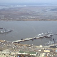
Located on the west bank of the Cooper River is Charleston’s former Naval Station. Closed down in the mid 1990s, the three miles of river front was seen as a large investment in real estate. In charge of redeveloping this $60 million dollar area…

http://www.ricdigitalcommons.com/temp/1073.jpg
Built at the turn of the 18th century, Charleston, South Carolina’s Pink House gets its name from the coral Bermuda stone that was used to build it. Bermuda stone is unique in that it is soft and malleable, but when exposed to outside weather, it…

http://www.ricdigitalcommons.com/temp/1090.jpg
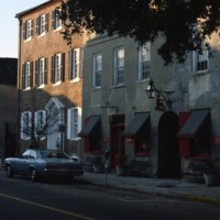
Adopted by Dubose Heyward, this section of Church Street is responsible for inspiring “Catfish Row” in his story “Porgy”. This story was eventually turned into the opera production “Porgy and Bess” which depicts black life in the 1920s in Charleston.…

http://www.ricdigitalcommons.com/temp/1091.jpg
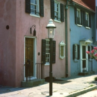
Once the center of Charleston’s commerce, these homes have since been purchased and restored by Dorothy Legge. The name “Rainbow Row” was coined with these buildings due to their wide variety of vibrant colors. These 1700s style buildings used to be…

http://www.ricdigitalcommons.com/temp/1089.jpg
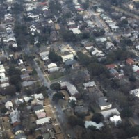
Pictured is one of the many suburban neighborhoods in Charleston. Calhoun Street, a major street running from east to west, was viewed as the major boundary separating the north suburbs from the southern urban area.

http://www.ricdigitalcommons.com/temp/1079.jpg
The Citadel is a military college in South Carolina that has it’s roots in the nineteenth century, and was originally used by Confederate soldiers in the nineteenth century. Federal troops occupied the original Citadel during the reconstruction until…

http://www.ricdigitalcommons.com/temp/1081.jpg
This photograph of downtown Charleston reflects the city’s prosperity during the nineteenth century. At the center left of the frame is the Battery Carriage House Inn, a large home built by Samuel N. Stevens in 1843. Colonel Lathers commissioned…

http://www.ricdigitalcommons.com/temp/1324.jpg
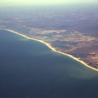
Aerial view of Rhode Islands southern shore, including Charlestown and Green Hill Beaches. Charlestown is a public beach that offers camping and recreational activities. Green Hills Beach is a private club founded in 1961.

http://www.ricdigitalcommons.com/temp/0804.jpg
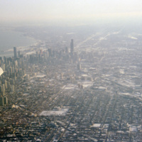
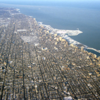
This aerial photograph shows Chicago’s north side, and Lake Michigan. Running along the shore is Chicago’s Lake Shore Drive, dotted with high rise buildings. Officially part of U.S. Highway 41, Lake Shore Drive serves to accommodate the travel needs…

http://www.ricdigitalcommons.com/temp/0803.jpg
Aerial photograph of Chicago taken in the winter of 1993. Chicago has among one of most dense skylines in the world. It is also home to some of the worlds tallest buildings, including the Willis Tower (formerly Sear Tower) which was the tallest in…

http://www.ricdigitalcommons.com/temp/0802.jpg
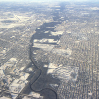
Aerial view of the northern section of Chicago. At the left is O’Hare International Airport. The Des Plaines River can also be seen running through the center of the frame.

http://www.ricdigitalcommons.com/temp/0740.jpg
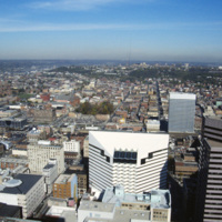
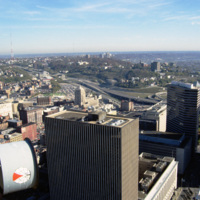
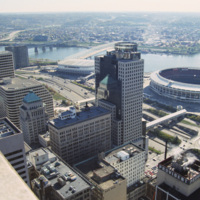
This aerial photograph of Cincinnati was taken in 1994 and looks north across the city. The distinct white and black building in the foreground is presently the headquarters of Macy’s Inc. At the time of this photograph it was owned by Federated…

http://www.ricdigitalcommons.com/temp/0738.jpg
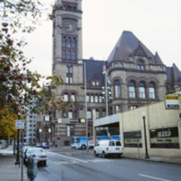
The city hall was built in the late 19th century and is the best surviving example of Richardson Romanesque style architecture in Cincinnati. Designed by Sameuel Hannaford, who designed many buildings in Cincinnati, the city hall is a the four and a…

http://www.ricdigitalcommons.com/temp/0749.jpg
This east facing aerial view looks across downtown Cincinnati from Carew Tower. Of note in this image are some of Cincinnati’s taller buidlings: The Fifth Third Center and the Chiquita Center. The Fifth Third Center, towering in the foreground, is a…

http://www.ricdigitalcommons.com/temp/0741.jpg
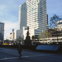
This view shows a shilouette of the Tyler Davidson Fountain at Fountain Square, Cincinnati. Dedicated in 1871, it has become a symbol of the city and popular tourist destination. It’s actual title is The Genius of Water, and features a woman with her…

http://www.ricdigitalcommons.com/temp/0742.jpg
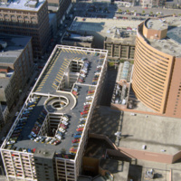
Photographed from the Carew Tower, this 1994 photograph shows the Hyatt Regency Cincinnati. The Hyatt building was completed in 1984 and is a twenty two story high rise building. The building was designed by RTKL Associates Inc. and is built in the…

http://www.ricdigitalcommons.com/temp/0737.jpg
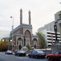
The Plum Street Temple is among the oldest American synagogue buildings still standing and in use. It was designed by James Key Wilson who blended Neo-Byzantine architecture with Moorish Revival style. It was the first of many American synagogues to…

http://www.ricdigitalcommons.com/temp/0743.jpg
Riverfront Stadium (1970-2002), renamed Cinergy Field in 1996, was the home of the Cincinnati Reds National League baseball team and the Cincinnati Begals National Football team. It is one of many so called “cookie-cutter” stadiums built in the late…

http://www.ricdigitalcommons.com/temp/0772.jpg
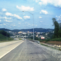
Clarksburg is a city in West Virginia with a population of 16,578 at the 2010 census. This 1981 photograph, taken on U.S. Route 50 shows the approach to the city and the hilly terrain that the city is built within. This section of Rt. 50 is part of…
http://www.ricdigitalcommons.com/temp/0435.jpg
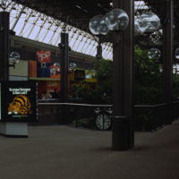
  An interior photograph of the Columbia Mall in Columbia Maryland displays the glass ceiling that creates an atrium effect for shoppers. The globe-shaped lanterns are repeated on the mall’s exterior walks.  The Mall in Columbia is part of a planned…

http://www.ricdigitalcommons.com/temp/0407.jpg
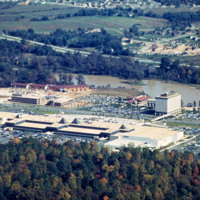
  The Mall in Columbia is part of a planned community development in Columbia, Maryland. The community consists of ten self-contained villages which were established in the late 1960s by The Rouse Company, a development firm headed by James Rouse.…
Output Formats

atom, dcmes-xml, json, omeka-xml, rss2