Browse Items (993 total)

  • Collection: Chester Smolski Photographs

http://www.ricdigitalcommons.com/temp/5468.jpg
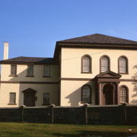
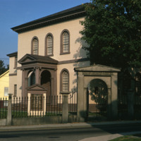
The building, the oldest Synagogue in the US, is angled to the street on a rise so that the ark inside faces Jerusalem. Only the elegance of the entrance porch, with arching inside a pedimented Ionic enclosure and the same generous spread of stairs…

http://www.ricdigitalcommons.com/temp/5467.jpg
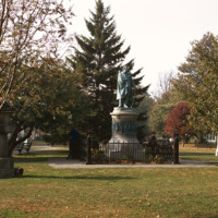
  “On March 31 1854 representatives of Japan and the United States signed a historic treaty. A United States naval officer, Commodore Matthew Calbraith Perry [April 10, 1794 – March 4, 1858], negotiated tirelessly for several months with Japanese…

http://www.ricdigitalcommons.com/temp/5466.jpg
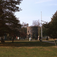
  Sometimes speculated as the  the work of Vikings, built around the year 1000, or the Chinese in 1426-28, the stone mill has fascinated historians for centuries. Another attribution is to the Portuguese explorer Miguel Corte-Real built it and yet…

http://www.ricdigitalcommons.com/temp/5464.jpg
  Located in Newport, RI, the school was founded by the Sisters of Mercy in 1947. Salve is a coeducational private university. The university has one of the most unique campuses around and it encompasses more than 80 acres. Along with it’s large…

http://www.ricdigitalcommons.com/temp/5463.jpg
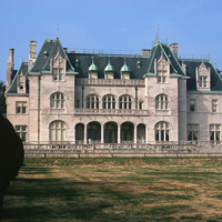
  Salve Regina University is a university in Newport, Rhode Island. Founded by the Sisters of Mercy, the university is a co-educational, private, non-profit institution chartered by the State of Rhode Island in 1934. In 1947 the university acquired…

http://www.ricdigitalcommons.com/temp/5462.jpg
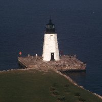
  The Newport Harbor Lighthouse may not be the best-known light in Newport Harbor, but its place in history is unchallenged as the first beacon to guide mariners into the bustling Newport of the early 1800s. The lighthouse stands on Goat Island, so…

http://www.ricdigitalcommons.com/temp/5460.jpg
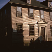
  Two stairs in different styles, one behind the other, confirm the back-to-front enlargement of this house, as does the anomaly of two chimneys. Boxed stairs on three short runs with scroll-cut balusters indicate that the older section was in the…

http://www.ricdigitalcommons.com/temp/5458.jpg
  For over two centuries, the small synagogue standing on top of a hill on a quiet street in the New England seaport community of Newport, R.I., has occupied a unique place in American history -- not only as a part of the American Jewish experience…

5457.jpg
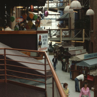
Newport’s wharfs, from Long Wharf to Perry Mill evolved, from the late 1960s through the 1980s into a hectic carnival of boutiques, eateries, and hotels. A deliberately nondescript wharf-like vernacular has been cultivated even for outsized hotels,…

http://www.ricdigitalcommons.com/temp/5455.jpg
  Goat Island is a small island in Narragansett Bay and is part of the city of Newport, Rhode Island. The island is connected to the Easton's Point neighborhood via a causeway bridge. Goat Island is home to the Newport Harbor Light (1842). Native…

http://www.ricdigitalcommons.com/temp/5454.jpg
  The Breakers is a Vanderbilt mansion located on Ochre Point Avenue in Newport, Rhode Island. It is a National Historic Landmark, a contributing property to the Bellevue Avenue Historic District, and is owned and operated by the Preservation Society…

http://www.ricdigitalcommons.com/temp/5453.jpg
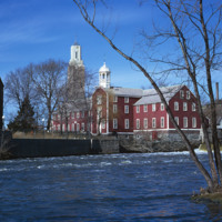
In 1793, the Old Slater Mill was constructed.  The site of the mill and the water power rights had been purchased in 1791 by Moses Brown and Oziel Wilkinson for "350 Spanish milled dollars".  It was bought from Cynthia Jenks as executrix of the will…

http://www.ricdigitalcommons.com/temp/5452.jpg
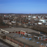
industrial Pawtucket along with some of the stores located near the Apex center.

http://www.ricdigitalcommons.com/temp/5451.jpg
  Seen here is the development taking place in Pawtucket and Blackstone Mill. Also seen here is the dumping that’s going on along the Blackstone River. To the right is a view of the triple deckers in Pawtucket. 

http://www.ricdigitalcommons.com/temp/5448.jpg
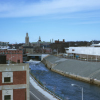
  Seen here is the Apex center along the Blackstone River. In the far back Slater Mill and Wilkinson Mill can also be seen. 

http://www.ricdigitalcommons.com/temp/5446.jpg
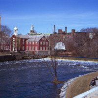
  Slater Mill Historic Site, also known as Slater Mill or Old Slater Mill, is located on the Blackstone River in Pawtucket, RI. Slater Mill was built in 1793. It served as the first commercially viable water-powered roller cotton-spinning mill in the…

http://www.ricdigitalcommons.com/temp/5445.jpg
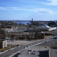
  The “Apex Mall,” as it is sometimes referred, was built in downtown Pawtucket in 1969. Designed by famed architect Andrew Geller, its pyramid-shaped roof is visible just off I-95, and it sits perched along the Blackstone River directly in front of…

http://www.ricdigitalcommons.com/temp/5444.jpg
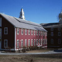
Seen here is the first textile mill built in Rhode Island. This is Slater Mill. The original building was built in 1793 by Benjamin Talcott and later improved by Sylvanus Brown who added the wheel. Originally the building was a 2.5 story building…

http://www.ricdigitalcommons.com/temp/5265.jpg
  Marker indicating height of Jerimoth Hill at 812 ft. above sea level. Having private previous owners, the summit was once the most limitedly available state high point only open 5 times a year. In more recent years, the site has become available to…

http://www.ricdigitalcommons.com/temp/5262.jpg
  View of Bragga Bridge and Fall River over Mt. Hope Bay. The bridge eased traffic complications between Cape Cod and Providence for only a short time. The commute from Fall River to Providence is still time consuming in rush hour traffic. The bridge…

http://www.ricdigitalcommons.com/temp/5258.jpg
  This synagogue was demolished as part of a large land clearing in order to make room for light manufacturing, commercial development and the Marriott Hotel.

http://www.ricdigitalcommons.com/temp/5252.jpg
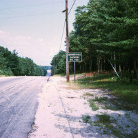
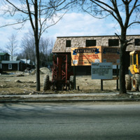
The new establishment of an apartment housing community in Taunton, MA. The sign reads: Canterburry Apartments at Taunton. An example of urban development in Massachusetts in the early 1970s.

http://www.ricdigitalcommons.com/temp/5251.jpg
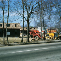
The new establishment of an apartment housing community in Taunton, MA. The sign reads: Canterburry Apartments at Taunton. An example of urban development in Massachusetts in the early 1970s.

5249.jpg
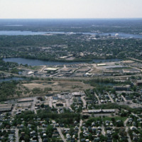
Huntington Industrial Park was formerly part of the West Elmwood neighborhood. The construction of Route 10 and a nation wide urban renewal movement in the mid 20th century led to the demolition of the neighborhood in favor of highway and trucking…

http://www.ricdigitalcommons.com/temp/5248.jpg
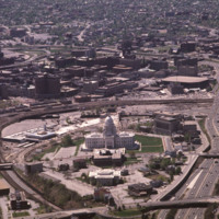
  This State House opened in 1901. The Rhode Island State House is the product of an elaborate competition. Its design came from McKim, Mead and White’s office contemporaneously with the firm’s Beaux-Arts classical work for the World’s Columbian…

http://www.ricdigitalcommons.com/temp/5247.jpg
  Seen in this aerial is a view of Brown University. Brown is an Ivy League School in Rhode Island located in the center of Providence. It was founded in 1764 and is the third oldest institution in New England and the seventh oldest in the United…

http://www.ricdigitalcommons.com/temp/5244.jpg
Interstate 95 is the longest Interstate in Rhode Island. It was completed fully in 1972 and is the main highway that serves Providence. It was constructed first in Kent County and next in Providence and Pawtucket. It was finished in 1972 by…

http://www.ricdigitalcommons.com/temp/5243.jpg
The downtown area of Providence, is the oldest business district in the city. In this area, many buildings can be seen dating from the late Federal and Greek Revival periods. Also seen in this aerial is the Rhode Island State House built between 1891…

http://www.ricdigitalcommons.com/temp/5242.jpg
  In this aerial, the Cranston Street Armory can be seen. This building and land parcel was passed on to the city of Providence by Ebenezar Knight Dexter. This area is located off Cranston St. and between Dexter St. and Parade St. This brick and…

http://www.ricdigitalcommons.com/temp/5241.jpg
Seen here is an aerial view of Roger Williams Park which was named after the founder of Providence, Roger Williams. The park evolved from a 100 acre parcel that Betsy Williams gave to the city in 1871. Today the park is a 430 acre public park. The…

http://www.ricdigitalcommons.com/temp/5236.jpg
Manchester Street Power Station is located on 12 acres of land on Point Street in Providence. The Post-Modern 1990s addition was added by William D. Warner Architects & Planners. It produces enough electricity to power about 112,000 homes, using…

http://www.ricdigitalcommons.com/temp/5233.jpg
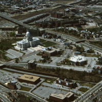
  In this aerial, the Rhode Island State House is seen. This magnificent building was designed by McKim, Mead and White between 1891 and 1902. This impressive building is located on Smith Street. William H. Jordy considers the State House to be “a…

http://www.ricdigitalcommons.com/temp/5231.jpg
This is the old Bull Dog Tavern built in 1798.  This tavern may have given the name to the area as Bull Dog Square, later Randall Square.  It survived the fire that took the American Screw Company in July 1971. Richard Smith of Smithfield, RI took up…

http://www.ricdigitalcommons.com/temp/5230.jpg
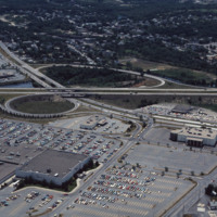
  The Warwick Mall first opened for business in 1972. Due to a major flood in March of 2010, Warwick Mall closed down and many of it’s stores as well. Five months after the flooding took a toll on the mall, it has finally reopened along with 40 other…

http://www.ricdigitalcommons.com/temp/5528.jpg
Randall Square before renewal.   Plans for redevelopment had begun in 1964, however before these plans were put into action a fire destroyed much of the area in 1971.

http://www.ricdigitalcommons.com/temp/5527.jpg
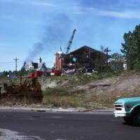
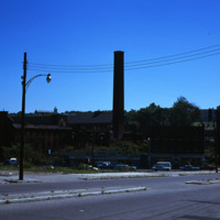
Fire damaged mills in Randall Square.  Plans to redevelop the space date back to 1964, but before redevelopment could begin the square was mostly destroyed by fire in 1971. 

http://www.ricdigitalcommons.com/temp/5224.jpg
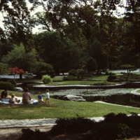
Built in 1935-1936 by the Works Progress Administration in the 430 acre park designed by Horace Cleveland in 1878.  The park itself is laid out in the romantic landscape tradition of Frederick Law Olmsted (1822-1903) and complements the asymmetry of…

http://www.ricdigitalcommons.com/temp/5222.jpg
In the aerial, Classical and Central High schools can be seen. Classical High School, located on Westminster Street, was founded in 1843. The building that stands today was completed by 1970 and is one of the few buildings in the area created in the…

http://www.ricdigitalcommons.com/temp/5219.jpg
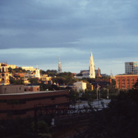
Here is a view of Providence’s East Side with three of the oldest churches in the city in the College Hill neighborhood.  To the left of the image is  a view of the Cathedral of St. John, which is located on North Main Street. This church was built…

http://www.ricdigitalcommons.com/temp/5217.jpg
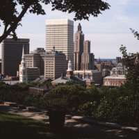
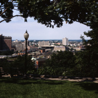
The absence of Fleet Center at 50 Kennedy Plaza is noticeable in this shot of downtown from Prospect Terrace Park and dates the image to pre-1985. (date of photograph is approximated)

http://www.ricdigitalcommons.com/temp/5216.jpg
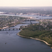
This aerial shows the city of Providence over the Seekonk River, as well as the bridges that cross this river. The Seekonk River begins where the Blackstone River reaches sea level, which is just under Pawtucket Falls. From here, the river flows…

http://www.ricdigitalcommons.com/temp/5215.jpg
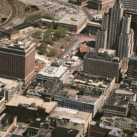
Kennedy Plaza and the former Chinese Wall of train tracks are seen in the center and upper left. The train tracks sealed off the Capital Center area of Providence from this, the traditional financial district.

http://www.ricdigitalcommons.com/temp/5214.jpg
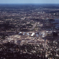
This aerial shows I-95 in the left-center and Allens Avenue at right-center heading north into downtown. Lining the western bank of Providence Harbor is the industrial waterfront which until recently had been “long-overlooked” despite its historic…

http://www.ricdigitalcommons.com/temp/5209.jpg
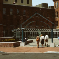
Home to the Davol Rubber Co. from 1884 until 1977, the complex were rehabilitated and reopened for mixed retail and office use in 1982. However, despite high occupancy and easy highway access, the shops slowly disappeared and the mall closed down in…

http://www.ricdigitalcommons.com/temp/5208.jpg
Home to the Davol Rubber Co. from 1884 until 1977, the complex were rehabilitated and reopened for mixed retail and office use in 1982. However, despite high occupancy and easy highway access, the shops slowly disappeared and the mall closed down in…

http://www.ricdigitalcommons.com/temp/5207.jpg
View looking west from Prospect Terrace Park. Cathedral Sq., Providence City Hall, and the Providence Biltmore appear on the left side of the photo. In the center of the photo are the yellow brick Union Station buildings and the old train tracks to…

http://www.ricdigitalcommons.com/temp/5206.jpg
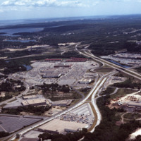
Rhode Island Mall (Midland Mall, 1967) was a once popular shopping center that now contains only a half-dozen open businesses. Warwick Mall opened five years after Midland Mall and a mile to its north. Composed of more than 1,000,000-square-foot…

http://www.ricdigitalcommons.com/temp/5205.jpg
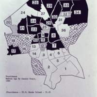
Providence Median age by Census tract in 1980

http://www.ricdigitalcommons.com/temp/5204.jpg
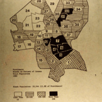
Blacks as a percent of he census tract population in Providence in 1980.

http://www.ricdigitalcommons.com/temp/5200.jpg
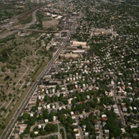
North Burial Ground was Providence’s first dedicated open space. Ten acres were allocated north of the “Compact Part of Town” in 1700 by a land grant from the town meeting. The first interment, however, was not until 1710-11, although it has been…
Output Formats

atom, dcmes-xml, json, omeka-xml, rss2