Browse Items (993 total)

  • Collection: Chester Smolski Photographs

http://www.ricdigitalcommons.com/temp/5572.jpg
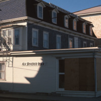
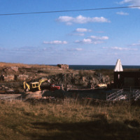
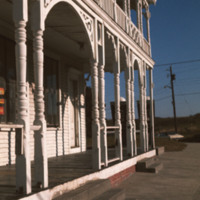
  New Shoreham is the town located on Block Island. New Shoreham was named for Shoreham, Kent, in England. The town has a total area of 109.5 square miles of which, 9.7 square miles of it is land and 99.8 square miles is water. The New Shoreham House…

http://www.ricdigitalcommons.com/temp/5571.jpg
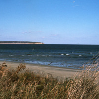
  Block Island beach and shoreline seen from Crescent  Beach near the Block Island Ferry Service landing. On the horizon are the Clayhead cliffs, a rocky area that contains iron-rich clay deposits. (date of photograph has been approximated)

http://www.ricdigitalcommons.com/temp/5570.jpg
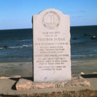
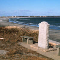
  This marker placed by the Block Island Historical Society in 1942 commemorates the spot where Trustrum Dodge lived. Dodge was one of the original settlers of Block Island.  Inscribed on the marker are notable dates in Block Island’s history: 1614…

http://www.ricdigitalcommons.com/temp/5497.jpg
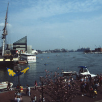
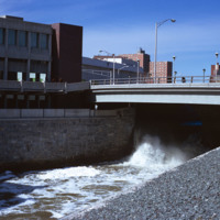
  The Baltimore Aquarium, located in the Inner Harbor district of Baltimore, was designed by Massachusetts based firm Peter Chermayeff LLC. The design earned the team an award from Progressive Architecture in 1979. It was conceived and designed in…

http://www.ricdigitalcommons.com/temp/5430.jpg
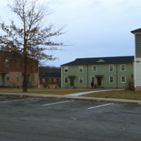
The Veterans Memorial Public Housing was built in 1953. The development is funded by the Woonsocket Housing Authority and the State of Rhode Island. The units, which are designed for elderly residents, consist of two bedrooms, one bath, a kitchen and…
http://www.ricdigitalcommons.com/temp/5423.jpg
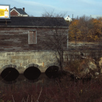
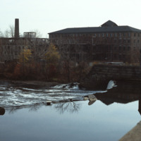
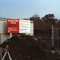
  This structure is the gate house for the Valley Falls mill complex.  It was part of a damn that redirected water into a trench that powered the mill. In the 1970s the Central Falls half of the complex was redeveloped as elderly housing, while the…

http://www.ricdigitalcommons.com/temp/5414.jpg
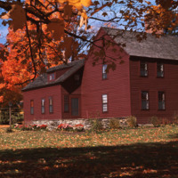
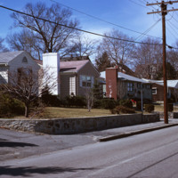
  An example of housing in Litchfield, CT.  Litchfield is a historically affluent town with a median income of $58k per household. It is interesting to note that Chet Smolski includes this photograph within a collection largely composed of public and…

http://www.ricdigitalcommons.com/temp/5567.jpg
  The City Drug Store is one of the late nineteenth century buildings located in the Old Harbor District. Development, which was rare in the first half of the twentieth century on the island, is taking place around the square in this photo from the…

http://www.ricdigitalcommons.com/temp/5564.jpg
  The Block Island City Drug Store is located in the Old Harbor District of the island. The majority of the buildings and hotels in this district are painted white with cottage style details, reflecting the seaside resort style prominent in the…

http://www.ricdigitalcommons.com/temp/5563.jpg
This marker placed by the Block Island Historical Society in 1942 commemorates the spot where Trustrum Dodge lived. Dodge was one of the original settlers of Block Island.  Inscribed on the marker are notable dates in Block Island’s history: 1614…

http://www.ricdigitalcommons.com/temp/5562.jpg
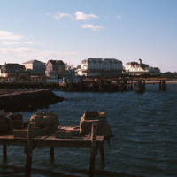
  Looking across the ferry landing on Block Island.  On the horizon is the National Hotel (1903) and to the right of the is oldest surviving hotel, the Surf (1873, 1888). This group of buildings conveys the sense of a nineteenth-century seaside…

http://www.ricdigitalcommons.com/temp/5539.jpg
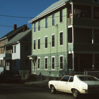
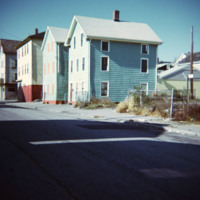
  Triple decker housing in the densely populated area of Central Falls, Rhode Island.  (date of photograph is approximated)

http://www.ricdigitalcommons.com/temp/5521.jpg
Rhode Island College, originally referred to as the Normal School, has occupied several locations and changed names throughout the years. Rhode Island College is known as one of the first teacher preparatory schools in the country. Having out-grown…

http://www.ricdigitalcommons.com/temp/5511.jpg
  The Old State House on College Hill in Providence, Rhode Island, also known as Providence Sixth District Court House, Providence Colony House, Providence County House, or Rhode Island State House is located on 150 Benefit Street. It is a brick…

http://www.ricdigitalcommons.com/temp/5510.jpg
The intersection of North Main and Hewes Street was the location of the Moshassuck Arcade. The building was part of the Bay State Mill, which was part of a complex including the American Screw Company. Many of the surrounding buildings in the complex…

http://www.ricdigitalcommons.com/temp/5499.jpg
  The World War I Monument designed and created by architect Paul P. Cret and sculptors C.P. Jennewein and Janet de Coux stands before the Providence County Courthouse on Benefit St. The monument, originally located in Post Office Square (renamed…

http://www.ricdigitalcommons.com/temp/5498.jpg
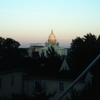
The Rhode Island State House seen from the Providence’s east side, likely Congdon St. It was constructed between 1895 and 1904 and has the fourth largest self supporting marble dome in the world. 

http://www.ricdigitalcommons.com/temp/5465.jpg
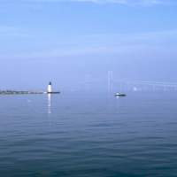
  Here is a view of the Newport Bridge from across Goat Island. The bridge is not very visible. From the north end, the lighthouse is visible. 

http://www.ricdigitalcommons.com/temp/5459.jpg
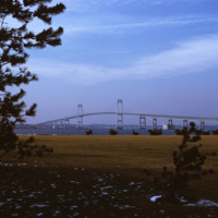
  Beginning in the late 1940s, efforts towards the construction of a bridge linking Jamestown to Newport began. From the 1940s on, at least 32 engineering studies were made for possible location of a suspension or cantilever bridge, a tunnel or…

http://www.ricdigitalcommons.com/temp/5450.jpg
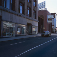
  Main St. in Pawtucket circa 1971, Smolski documents closed businesses and redevelopment in the downtown area. The building at the left has since been converted into a parking garage and small shops lining Main St.
http://www.ricdigitalcommons.com/temp/5449.jpg
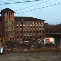
  The Blackstone River is recognized by the U.S. Congress  as the birthplace of the American Industrial Revolution. It powered Slater Mill, the first successful mill in America, as well as many other factories producing everything from wire to Mr.…

http://www.ricdigitalcommons.com/temp/5434.jpg
Blackstone Park, located between Angel St. and the grounds of Butler hospital, lies on land donated to the city by Moses Brown Jenkins in the 1860s. It is some of the hilliest land in Providence, and thus unsuitable for residential development. The…

http://www.ricdigitalcommons.com/temp/5426.jpg
  The Old Slater Mill was dedicated exclusively to the production of cotton thread until 1829 and then continuously occupied until 1921 with various owners and renters who altered its physical structure to suit whatever enterprise they brought with…

http://www.ricdigitalcommons.com/temp/5425.jpg
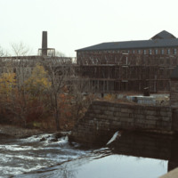
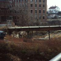
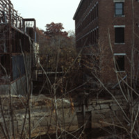
  The 1840s Blackstone Falls mill complex was turned into 133 units of housing for the elderly. The mill was located on a difficult site: two of its buildings were on an island in the Blackstone River, connected by a series of bridges across a canal.…

http://www.ricdigitalcommons.com/temp/5424.jpg
The 1840s Blackstone Falls mill complex was turned into 133 units of housing for the elderly. The mill was located on a difficult site: two of its buildings were on an island in the Blackstone River, connected by a series of bridges across a canal.…

http://www.ricdigitalcommons.com/temp/5422.jpg
  The 1840s Blackstone Falls mill complex was turned into 133 units of housing for the elderly. The mill was located on a difficult site: two of its buildings were on an island in the Blackstone River, connected by a series of bridges across a canal.…

http://www.ricdigitalcommons.com/temp/5421.jpg
  The 1840s Blackstone Falls mill complex was turned into 133 units of housing for the elderly. The mill was located on a difficult site: two of its buildings were on an island in the Blackstone River, connected by a series of bridges across a canal.…

http://www.ricdigitalcommons.com/temp/5419.jpg
  The 1840s Blackstone Falls mill complex was turned into 133 units of housing for the elderly. The mill was located on a difficult site: two of its buildings were on an island in the Blackstone River, connected by a series of bridges across a canal.…

http://www.ricdigitalcommons.com/temp/5418.jpg
  The 1840s Blackstone Falls mill complex was turned into 133 units of housing for the elderly. The mill was located on a difficult site: two of its buildings were on an island in the Blackstone River, connected by a series of bridges across a canal.…

http://www.ricdigitalcommons.com/temp/5417.jpg
  The 1840s Blackstone Falls mill complex was turned into 133 units of housing for the elderly. The mill was located on a difficult site: two of its buildings were on an island in the Blackstone River, connected by a series of bridges across a canal.…

http://www.ricdigitalcommons.com/temp/5416.jpg
  The 1840s Blackstone Falls mill complex was turned into 133 units of housing for the elderly. The mill was located on a difficult site: two of its buildings were on an island in the Blackstone River, connected by a series of bridges across a canal.…

http://www.ricdigitalcommons.com/temp/5415.jpg
  The 1840s Blackstone Falls mill complex was turned into 133 units of housing for the elderly. The mill was located on a difficult site: two of its buildings were on an island in the Blackstone River, connected by a series of bridges across a canal.…

http://www.ricdigitalcommons.com/temp/5413.jpg
  Renovated units in the Roger Williams Homes housing project in South Providence. Many of these units were destroyed in the 1980s after decades of neglect, however these renovated units were spared and later became the Sharlotte Woods Elementary…

http://www.ricdigitalcommons.com/temp/5412.jpg
  Renovated units and old units at the Roger Williams Homes housing project in South Providence photographed around 1974. Most of the units were demolished in the 1980s after decades of neglect.  These renovated units were spared and later…

http://www.ricdigitalcommons.com/temp/5410.jpg
  The former Roger Williams Homes public housing project was mostly demolished in the 1980’s after decades of neglect.  This particular section was redeveloped in the early 2000’s as the William B. Cooley Health and Science Technology High School.

http://www.ricdigitalcommons.com/temp/5409.jpg
The Lower South Side (or Lower South Providence) is a neighborhood in southern Providence, Rhode Island. It is bounded from Upper South Providence by Public Street to the north, Interstate 95, to the south, and Broad Street, and the Providence River…

http://www.ricdigitalcommons.com/temp/5400.jpg
  John Holden Greene built this Federal house for James Burrough in 1818. Burrough was a officer at the custom house. The home Greene built for Burrough exemplifies his signature monitor-on-hip-roof. The Burrough family comissioned other homes in the…

http://www.ricdigitalcommons.com/temp/5395.jpg
  The Veterans Memorial public housing project in Woonsocket provides housing designed for the elderly, but also with amenities for low-income families, including an after school tutoring program and playground. 

http://www.ricdigitalcommons.com/temp/5394.jpg
The Veterans Memorial Public Housing was built in 1953. The development is funded by the Woonsocket Housing Authority and the State of Rhode Island. The units, which are designed for elderly residents, consist of two bedrooms, one bath, a kitchen and…
http://www.ricdigitalcommons.com/temp/5393.jpg
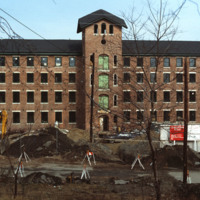
  The Veterans Memorial Housing Development was built in 1953. The development was designed for low-income elderly in the Woonsocket community. The development recently received renovations and continues to serve as public housing for the elderly. 
http://www.ricdigitalcommons.com/temp/5392.jpg
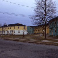
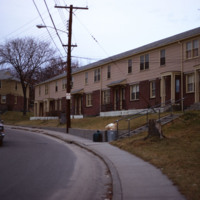
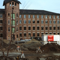
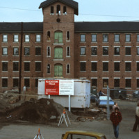
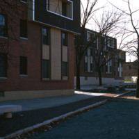
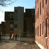
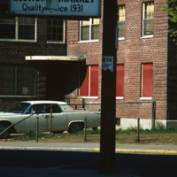
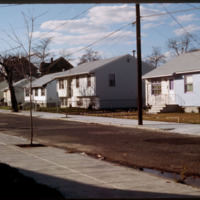
  The Morin Heights Public Housing Development located on Morin Heights Boulevard in Woonsocket, Rhode Island. The housing development was designed for low-income families. The development was established by the Woonsocket Housing Authority in 1940.…
http://www.ricdigitalcommons.com/temp/5391.jpg
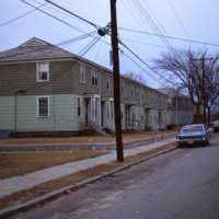
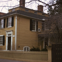
  The Woonsocket Housing Authority was incorporated in 1940 by the State of Rhode Island. The Morin Heights Public Housing Development was built around the same time. The housing was designed for low-income families and individuals. The development…
http://www.ricdigitalcommons.com/temp/5387.jpg
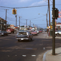
  Looking north at the intersection of Park Ave and Resevoir Ave in Cranston.  Here is visible evidence of the rapid growth, both residential and commercial, experienced by Cranston as Providence dwellers, fed up with deteriorating schools systems,…

http://www.ricdigitalcommons.com/temp/5384.jpg
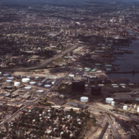
  Aerial view showing Providence Port circa 1976.  Allens Ave. runs diagnolly across the picture plane, and Interstate 95 enters the frame on the right, curves around the city and continues north to the horizon. To the east (frame right) the Fox…

http://www.ricdigitalcommons.com/temp/5383.jpg
  Single family homes on Pleasant St. in Pawtucket located across from Francis J. Varieur Elementary School.
http://www.ricdigitalcommons.com/temp/5382.jpg
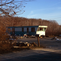
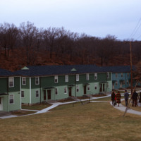
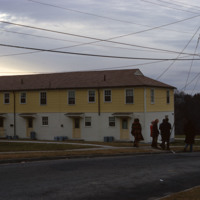
Mobile home site in Glocester, RI. During this time, rural towns in Rhode Island such as Glocester, Charlestown, Narragansett, and West Greenwich reported a rapid growth in population. With increases in the popuation averaging around 40% people…

http://www.ricdigitalcommons.com/temp/5378.jpg
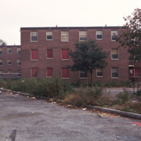
  The Roger Williams Housing Project was built in 1943 to address housing issues for the low-income residents of Providence. The project was considered a success for the first fifteen years of its existence, with a strong residents association and…

http://www.ricdigitalcommons.com/temp/5373.jpg
During the late nineteenth century, the rapid industrialization of Providence spawned a number of inner-city neighborhoods close to the center of commerce. As immigrant populations began to settle in Providence, those who had been living in the city…

5372.jpg
This Queen Anne mansion was built by the Tinkham family. It's position on Sweet Hill, slightly elevating it above Harrisonville Mill, visually demonstrates the lordship-like status of a Victorian mill owner. The three story cylindrical corner, topped…

http://www.ricdigitalcommons.com/temp/5371.jpg
The Oriental Masonic Gardens in New Haven was a modular housing project designed by Paul Rudolph and built by Prince Hall Masons. In this project, residences were grouped in fours around a utility core.  Lower modules contained living spaces, with…
Output Formats

atom, dcmes-xml, json, omeka-xml, rss2