Browse Items (993 total)

  • Collection: Chester Smolski Photographs

4931.jpg
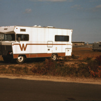
A Winnebago RV camping in Cape Cod, Massachusetts. A transportable residence, different from Smolski's usual documentation of permanent and non-moveable urban homes.

http://www.ricdigitalcommons.com/temp/5382.jpg
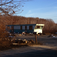
Mobile home site in Glocester, RI. During this time, rural towns in Rhode Island such as Glocester, Charlestown, Narragansett, and West Greenwich reported a rapid growth in population. With increases in the popuation averaging around 40% people…

1215.jpg
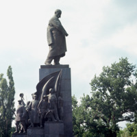
A monument in Kharkov to Ukraine’s greatest poet and artist who wrote and fought as a revolutionary democrat against serfdom and Tsarist rule. The monument is in Dzerzhinsky Square in Kharkov. A competition for the best Schevchenko monument took…

http://www.ricdigitalcommons.com/temp/0774.jpg
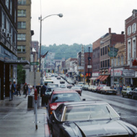
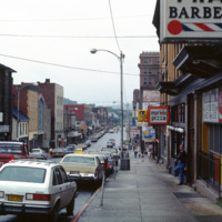
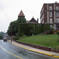
View of High St. in Morgantown on a rainy afternoon in 1981. Morgantown is the largest town in the North-Central region of West Virginia and is home to West Virginia University. At the left is the Monongahela Building, an apartment complex on High…

http://www.ricdigitalcommons.com/temp/0773.jpg
Morgantown is home to West Virginia University and is the largest town in the North-Central region of West Virginia. This photograph looks south on Rt. 119 in the First Ward neighborhood. Many of the businesses have changed since this 1981…

http://www.ricdigitalcommons.com/temp/0776.jpg
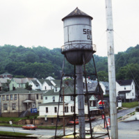
This photograph taken from the Seneca Glass Company looks northeast towards housing in Morgantown. Seneca Glass Company, founded in 1891, was a fixture in Morgantown until it’s ultimate demise in 1983. The intersection pictured is the meeting of 7th…

http://www.ricdigitalcommons.com/temp/0775.jpg
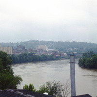
Monongahela, an approximation of a native word meaning “falling banks”, refers to the instability of the Monongahela Rivers banks. The river flows through Pennsylvania and West Virginia. This photograph shows the Monongahela River in Mograntown.…

http://www.ricdigitalcommons.com/temp/0782.jpg
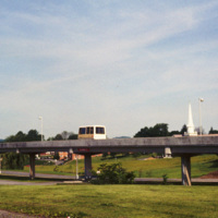
The Morgantown Personal Rapid Transit system connects the West Virginia Campuses and downtown Morgantown. The system opened in 1975 and was completed in 1979. While construction of the system was four times over budget, it has proved to be both…

http://www.ricdigitalcommons.com/temp/0783.jpg
The Morgantown Personal Rapid Transit system is a unique people mover in Morgantown, West Virginia. It was built using funding from the Nixon administration.

http://www.ricdigitalcommons.com/temp/0785.jpg
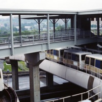
This photograph shows several stationary cars at one of the stations as part of Morgantown Personal Rapid Transit system. Each car has the capacity to hold eight people along with minor room for standees.

http://www.ricdigitalcommons.com/temp/0786.jpg
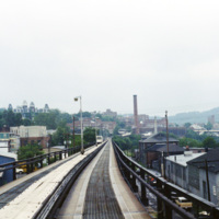
This photograph, taken from a car on the Morgantown Personal Rapid Transit system, show’s the unique tracks that the automated cars move upon. Each car is equipped with rubber wheels and receives energy and information from a rail in the center. This…

http://www.ricdigitalcommons.com/temp/0787.jpg
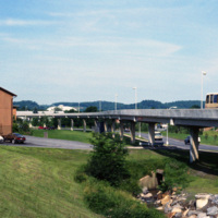
This picture shows a side view of the railway tracks for the Morgantown Personal Rapid Transit system. The entire system has a length of approximately 8.2 miles, along which 5 different stations can be found.

http://www.ricdigitalcommons.com/temp/0784.jpg
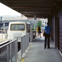
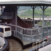
This photograph shows one of the stations on the Morgantown Personal Rapid Transit system. The system began operation in 1975 and has been running relatively smooth for over 30 years.

http://www.ricdigitalcommons.com/temp/0777.jpg
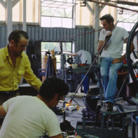
Factory workers at the Seneca Glass Company in Morgantown. The Seneca Glass Company, founded in 1891, was a staple of the city of Morgantown until the companies eventual bankruptcy in 1983. This 1981 photograph shows the company in it’s final days,…

http://www.ricdigitalcommons.com/temp/0778.jpg
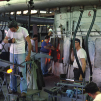
Factory workers at the Seneca Glass Company in Morgantown are photographed here in 1981 by Chet Smolski. Founded in 1891, the factory was sold and eventually become bankrupt in just two years time. (date of photograph has been approximated)

http://www.ricdigitalcommons.com/temp/0779.jpg
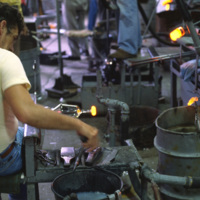
From 1891 to 1983 the Seneca Glass Company was a staple business in Morgantown. This 1981 photograph shows a glass worker in the Beechurst Avenue factory in Morgantown.

http://www.ricdigitalcommons.com/temp/0781.jpg
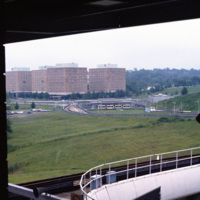
Evansdale Campus is photographed from one of the stops along the Morgantown Personal Rapid Transit system. The Evansdale Campus, developed during the 1950s and 1960s, is part of West Virginia University.

http://www.ricdigitalcommons.com/temp/0780.jpg
Pictured in 1981 is the original campus at West Virginia University, now known as the Downtown Campus. The three campuses in Morgantown are connected by the Morgantown Personal Rapid Transit system, a unique automated people mover funded by the…

http://www.ricdigitalcommons.com/temp/5391.jpg
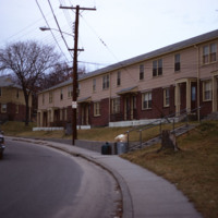
  The Woonsocket Housing Authority was incorporated in 1940 by the State of Rhode Island. The Morin Heights Public Housing Development was built around the same time. The housing was designed for low-income families and individuals. The development…

1217.jpg
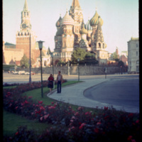
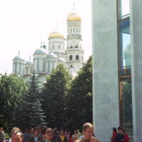
Saint Basils cathedral was commissioned in 1555 by Ivan the Terrible to commemorate the capture of Kazan form the Tartars in 1552. The cathedral’s official name is the Cathedral of the Intercession of the Virgin, which also represents the date that…

http://www.ricdigitalcommons.com/temp/1220.jpg
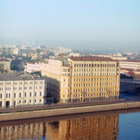
The high rise building pictured is the Kotel’nicheskaia Embankment Building (alternate spelling Kotenicheskaya), a high rise apartment building in Moscow. It was built as part of the vysotki (tall building) project which added seven high rise…

http://www.ricdigitalcommons.com/temp/1222.jpg
The State Historical Museum is located at the end of Red Square in Moscow. It was designed by Sherwood and Semyonov (Berton, 177) at the end of the nineteenth century. It’s facade employs a psuedo-Russian style which arbitrarily incorporates designs…

http://www.ricdigitalcommons.com/temp/1243.jpg
The large building at the right was, at the time of this photograph, the Hotel Bucharest. The original structure, dating to 1898, was designed by local architect Alexander Ivanov. During the 20th century the building changed ownership numerous times…

http://www.ricdigitalcommons.com/temp/5510.jpg
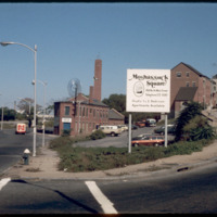
The intersection of North Main and Hewes Street was the location of the Moshassuck Arcade. The building was part of the Bay State Mill, which was part of a complex including the American Screw Company. Many of the surrounding buildings in the complex…

http://www.ricdigitalcommons.com/temp/5051.jpg
The interior of the Moshassuck Arcade. The building was part of the Bay State Mill, which was part of a complex including the American Screw Company. Many of the surrounding buildings in the complex were destroyed by fire in 1971. The Moshassuck…

http://www.ricdigitalcommons.com/temp/5282.jpg
  Milton Fine and Interstate Hotels Corporation developed, owned and operated the full service Providence Marriott Downtown hotel located on Orms Street. The hotel opened in 1975 with 250 rooms and was renovated in 1980 to become a 350 room hotel.

http://www.ricdigitalcommons.com/temp/5284.jpg
The Moshassuck Square Apartments, designed by architect William D. Warner and constructed in 1972, were a key element in the revitalization of Randall Square. The apartments are built in rows of three and four story cast-stone-trimmed brick…

http://www.ricdigitalcommons.com/temp/5283.jpg
A back view of the Moshassuck Square Apartments and the Moshassuck River.  The Moshassuck Square Apartments, designed by architect William D. Warner and constructed in 1972,  were a key element in the revitalization of Randall Square. The apartments…

http://www.ricdigitalcommons.com/temp/5381.jpg
Multifamily housing on Providence’s East Side in the Mount Hope neighborhood. 

http://www.ricdigitalcommons.com/temp/5049.jpg
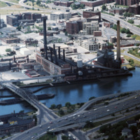
The Narragansett Electric Lighting Company had buildings on Eddy St. (pictured) and on Manchester St. They were once connected by an overhead conveyor belt, but no longer are. The Eddy St. building is no longer active as a power plant, and was…

http://www.ricdigitalcommons.com/temp/4890.jpg
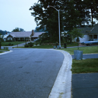
In 1954, William Levitt of Levitt & Sons, a leading residential firm, began purchasing property in Willingboro with the objective of building a residential community with few jobs and little commercial property so that the town's survival largely…

http://www.ricdigitalcommons.com/temp/4891.jpg
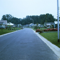
In 1954, William Levitt of Levitt & Sons, a leading residential firm, began purchasing property in Willingboro with the objective of building a residential community with few jobs and little commercial property so that the town's survival largely…

http://www.ricdigitalcommons.com/temp/1264.jpg
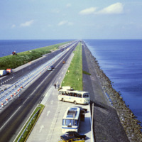
This photo shows the Afsluitdijk (Engish: Enclosure Dam), a 32 kilometer causeway in the Netherlands. The creation of the Enclosure Dam, completed in 1933, seperated Zuiderzee, a shallow bay, from the North Sea. The result was the creation of…

http://www.ricdigitalcommons.com/temp/1267.jpg
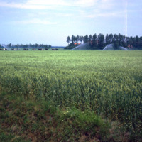
Northeast Polder, a municipality in the Netherlands, is largely made of reclaimed land from Zuiderzee Works, which turned Zuiderzee into a freshwater lake, IJsselmeer, and lowered the water levels allowing for land to be reclaimed. This photograph…

http://www.ricdigitalcommons.com/temp/1265.jpg
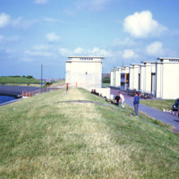
This photograph shows the sluice gates on the Afsluitdijk, a causeway that created the artificial freshwater lake IJsselmeer. The causeway was completed in 1933 and tamed what was once a problematic harbor in regards to flooding and damage to ships.…

http://www.ricdigitalcommons.com/temp/0808.jpg
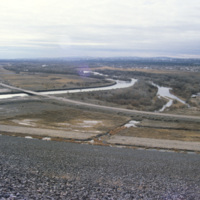
The Caballo Dam is on the Rio Grande. It stores water to be discharged during the dry season for irrigation. It was built in the 1930s and is about fifteen miles south of Truth of Consequences. This photograph, taken in 1993, shows the damn with…

http://www.ricdigitalcommons.com/temp/0800.jpg
Flowing from southwestern Colorado to the Gulf of Mexico is the Rio Grande. Pictured is a dam along the the major river. With a total length of 1,896 miles, there are a large number of dams along the Rio Grande. These include: Cochiti Dam, Elephant…

http://www.ricdigitalcommons.com/temp/0805.jpg
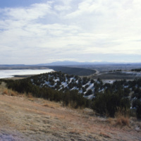
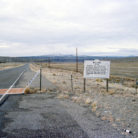
The boarder to San Felipe Indian Reservation in New Mexico is the homeland of a branch of the Native American Pueblo people. The reservation itself is approximately 79 square miles. As of the 2000 census the land is home to 3,185 people.

http://www.ricdigitalcommons.com/temp/1128.jpg
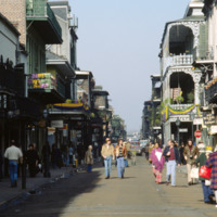
Bourbon Street is one of the most celebrated areas of Mardi Gras in New Orleans. The street is most known for its burlesque clubs and lively night life. Some of the major attractions include: The Royal Sonesta Hotel, Jean Lafitte’s Blacksmith Shop,…

http://www.ricdigitalcommons.com/temp/5572.jpg
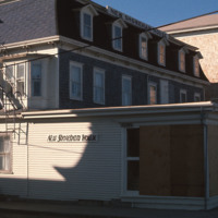
  New Shoreham is the town located on Block Island. New Shoreham was named for Shoreham, Kent, in England. The town has a total area of 109.5 square miles of which, 9.7 square miles of it is land and 99.8 square miles is water. The New Shoreham House…

http://www.ricdigitalcommons.com/temp/0497.jpg
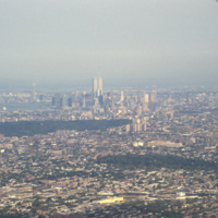
Aerial photograph showing Manhattan and Brooklyn looking West towards the city. This image shows the New York skyline as it was known from the late 1960s until the attack on the World Trade Center in 2001.

http://www.ricdigitalcommons.com/temp/5459.jpg
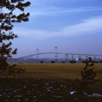
  Beginning in the late 1940s, efforts towards the construction of a bridge linking Jamestown to Newport began. From the 1940s on, at least 32 engineering studies were made for possible location of a suspension or cantilever bridge, a tunnel or…

http://www.ricdigitalcommons.com/temp/5465.jpg
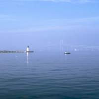
  Here is a view of the Newport Bridge from across Goat Island. The bridge is not very visible. From the north end, the lighthouse is visible. 

http://www.ricdigitalcommons.com/temp/5462.jpg
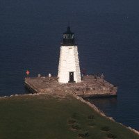
  The Newport Harbor Lighthouse may not be the best-known light in Newport Harbor, but its place in history is unchallenged as the first beacon to guide mariners into the bustling Newport of the early 1800s. The lighthouse stands on Goat Island, so…

http://www.ricdigitalcommons.com/temp/5454.jpg
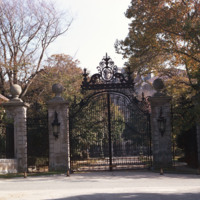
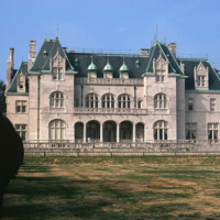
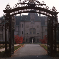
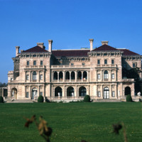
  The Breakers is a Vanderbilt mansion located on Ochre Point Avenue in Newport, Rhode Island. It is a National Historic Landmark, a contributing property to the Bellevue Avenue Historic District, and is owned and operated by the Preservation Society…
http://www.ricdigitalcommons.com/temp/5464.jpg
  Located in Newport, RI, the school was founded by the Sisters of Mercy in 1947. Salve is a coeducational private university. The university has one of the most unique campuses around and it encompasses more than 80 acres. Along with it’s large…
http://www.ricdigitalcommons.com/temp/5463.jpg
  Salve Regina University is a university in Newport, Rhode Island. Founded by the Sisters of Mercy, the university is a co-educational, private, non-profit institution chartered by the State of Rhode Island in 1934. In 1947 the university acquired…
http://www.ricdigitalcommons.com/temp/5337.jpg
  The Breakers, an 11-acre estate on Ochre Point overlooking the ocean in Newport, Rhode Island, epitomizes the wealth and extravagance of America's Gilded Age. Designed by Richard Morris Hunt for Cornelius Vanderbilt, the grandson of Commodore C.…

http://www.ricdigitalcommons.com/temp/5458.jpg
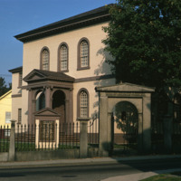
  For over two centuries, the small synagogue standing on top of a hill on a quiet street in the New England seaport community of Newport, R.I., has occupied a unique place in American history -- not only as a part of the American Jewish experience…

http://www.ricdigitalcommons.com/temp/5467.jpg
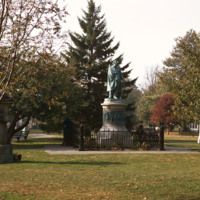
  “On March 31 1854 representatives of Japan and the United States signed a historic treaty. A United States naval officer, Commodore Matthew Calbraith Perry [April 10, 1794 – March 4, 1858], negotiated tirelessly for several months with Japanese…
Output Formats

atom, dcmes-xml, json, omeka-xml, rss2