Browse Items (657 total)

  • Collection: Baxter Collection of Images of Cape Verde

http://www.ricdigitalcommons.com/Baxter_temp/CV-85-062.jpg
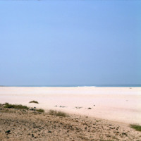
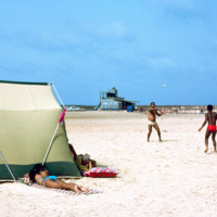
Praia Santa Monica, also known as Praia Curralinho is one of ten beaches on the island of Boa Vista. The beach itself is seldom used by people due to underpopulation and the desert area. Instead, the beach is a protected area for turtles laying their…

http://www.ricdigitalcommons.com/Baxter_temp/CV-85-063.jpg
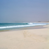
Three visitors of Praia Santa Monica stand near the shoreline looking out to sea.

Praia Santa Monica, also known as Praia Curralinho is one of ten beaches on the island of Boa Vista. The beach itself is seldom used by people due to underpopulation…

http://www.ricdigitalcommons.com/Baxter_temp/CV-85-064.jpg
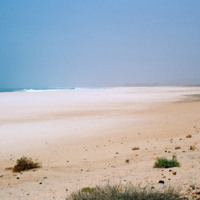
This photo is taken farther back towards the land portion of Praia Santa Monica.

This beach, also known as Praia Curralinho is one of ten beaches on the island of Boa Vista. The beach itself is seldom used by people due to underpopulation and the…

http://www.ricdigitalcommons.com/Baxter_temp/CV-85-065.jpg
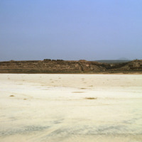
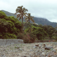
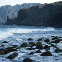
Another view of Praia Santa Monica with rocky mountains visible in the distance.

This beach, also known as Praia Curralinho is one of ten beaches on the island of Boa Vista. The beach itself is seldom used by people due to underpopulation and the…

http://www.ricdigitalcommons.com/Baxter_temp/CV-83-035.jpg
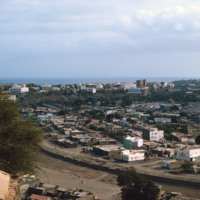
Praia, the capital and largest city in Cape Verde, as photographed in 1983. The Domingos Ramos Secondary School is visible in the distance on the left side of the image. The Maria Pia lighthouse can be seen in the distance near the center of the…

http://www.ricdigitalcommons.com/Baxter_temp/CV-83-036.jpg
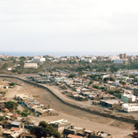
A panoramic view of Praia, similar to slide CV-83-035, Praia, Capital of Cape Verde. On the left of the frame the Domingos Ramos Secondary School, with it's distinctive, pyramid-like tower rising above the city, can be seen.

http://www.ricdigitalcommons.com/Baxter_temp/CV-83-039.jpg
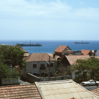
This slide, similar to CV-83-033, Docked Ships Along the Coast of Praia, was taken above street level so that the roofs of the city are exposed. Important to this city is the port, which exports goods such as coffee, tropical fruits and sugar cane.

http://www.ricdigitalcommons.com/Baxter_temp/CV-81-343.jpg
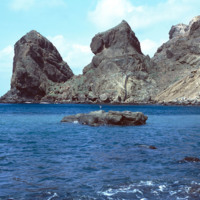
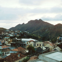
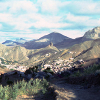
The steep mountains that protect Fajã d'Água from the strong northwestern winds that sweep across Brava.

http://www.ricdigitalcommons.com/Baxter_temp/CV-83-008.jpg
A typical scene of recreation and relaxation at Baia das gatas, a popular weekend resort for both São Vicente residents and tourists alike. It is located about eight miles west of Mindelo, the largest and only city on São Vicente. In the background…

http://www.ricdigitalcommons.com/Baxter_temp/CV-81-340.jpg
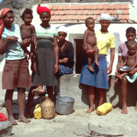
Residents of Fajã d'Água pose for a photo by David Baxter. [Unidentified]

http://www.ricdigitalcommons.com/Baxter_temp/CV-81-268.jpg
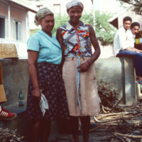
Two female residents of São Felipe pose for a photograph. They appear to be taking a break from some activity, perhaps sorting or selling firewood. In the background, some of the pastel buildings and terracotta roofs that this city is known for.

http://www.ricdigitalcommons.com/Baxter_temp/CV-81-189.jpg
Ribeira Brava is the capital and one of two municipalities of São Nicolau. This image is a view of the Praça do Torreiro, the church square. The town, once the seat of the Bishop, includes the Ingreja Nossa Senhora do Rosàrio which is visible with…

http://www.ricdigitalcommons.com/Baxter_temp/CV-80-207.jpg
An elevated view of Ribeira Brava, the main town on São Nicolau, located in the humid interior valley.

http://www.ricdigitalcommons.com/Baxter_temp/CV-81-199.jpg
Here you can see the juxtaposition of the rocky terrain and the lush tropical landscape that Cape Verde is famous for. This photograph is taken in the Ribeira Brava region located in the fertile hinterland of the otherwise barren island São Nicolau.

http://www.ricdigitalcommons.com/Baxter_temp/CV-81-198.jpg
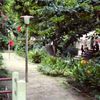
Ground level view of a garden in Ribiera Brava. Believed to be the same garden pictured in slide CV81197.

http://www.ricdigitalcommons.com/Baxter_temp/CV-81-037.jpg
View of Ribeira Calhau from Monte Verde. Following the ribeira is a road that connects Calhau and Mindelo. Calhau, a fishing village that is a popular weekend resort for tourists and residents of Mindelo.

http://www.ricdigitalcommons.com/Baxter_temp/CV-89-032.jpg
A cobblestone road leads up a steep hill to the Cathedral of Nossa Senhora da Luz (Our Lady of Light).

http://www.ricdigitalcommons.com/Baxter_temp/CV-88-128.jpg
View of the road to Bahia das Gatas from the house of Dr. Adriano. In foreground is the weekend house "Casa Vasconcellos" owned by a well known businessman from Mindelo.

http://www.ricdigitalcommons.com/Baxter_temp/CV-88-131.jpg
A typical Sunday at Calhau, a popular weekend vacation spot about 12 miles from Mindelo. Note that black volcanic pumice dominates the landscape.

http://www.ricdigitalcommons.com/Baxter_temp/CV-81-108.jpg
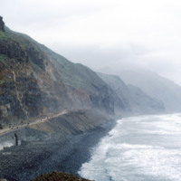
This coastal road, on the northern coast of Santo Antão, connects the towns of Ribeira Grande and Paúl. The road is gravel and dirt, and is, as one can see in this photograph, largely used for foot traffic. The road, for much of it's lebth, is…

http://www.ricdigitalcommons.com/Baxter_temp/CV-81-113.jpg
Possibly a cloister or monastery now abandoned. The rocky coastline on the way to Paùl shows how treacherous the terrain is.

http://www.ricdigitalcommons.com/Baxter_temp/CV-85-042.jpg
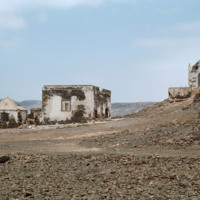
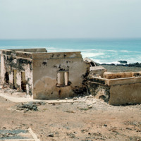
A desolate area behind Praia de Cabral with ruins and a small chapel.

http://www.ricdigitalcommons.com/Baxter_temp/CV-81-152.jpg
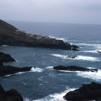
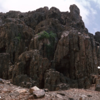
The coastline of Santo Antoão is rocky and jagged. At some points the mountains descend directly to the coastline, as seen here.

http://www.ricdigitalcommons.com/Baxter_temp/CV-85-041.jpg
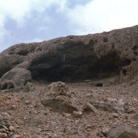
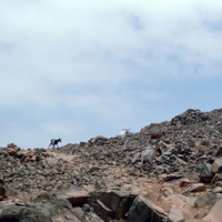
Goats roam a rocky, desolate area just inland from Praia de Cabral, a white sand beach about two miles from Sal Rei.

http://www.ricdigitalcommons.com/Baxter_temp/CV-85-039.jpg
A desolate area "behind" Praia Cabral, a beach about two miles from Sal Rei.

http://www.ricdigitalcommons.com/Baxter_temp/CV-83-031.jpg
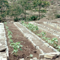
Pictured are planted rows of crops on the municipality of Paul. The area is known for its nutrient rich land that gives rise to a diverse range of crops, the most prominent being corn.

http://www.ricdigitalcommons.com/Baxter_temp/CV-80-201.jpg
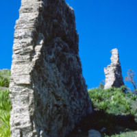
Ruins of an unknown structure in the high valley on São Nicolau.

http://www.ricdigitalcommons.com/Baxter_temp/CV-85-044.jpg
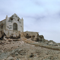
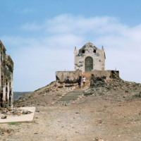
The ruins of a small chapel located near Praia de Cabral, a beach about two miles from Sal Rei. To the left, the ruins of an old home which once had steps leading down to the beach below.

http://www.ricdigitalcommons.com/Baxter_temp/CV-85-046.jpg
The ruins of a small chapel are photographed against a dramatic sky. These ruins on Boa Vista are located near Praia de Cabral, a beach that is within two miles of Sal Rei. Not pictured here but nearby are the ruins of a home that has a staircase…

http://www.ricdigitalcommons.com/Baxter_temp/CV-85-045.jpg
The ruins of a small chapel near Praia de Cabral, a sandy beach and cove about two miles from Sal Rei. To the left are the ruins of a home which once had steps leading down to the beach.

http://www.ricdigitalcommons.com/Baxter_temp/CV-89-013.jpg
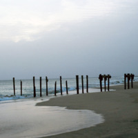
The posts of a ruined dock near the Vila do Maio.

http://www.ricdigitalcommons.com/Baxter_temp/CV-85-048.jpg
The ruins of a home at Praia de Cabral, a beach located about 2 miles from Sal Rei. The home is connected to a stair case that leads to the beach. Nearby are the ruins of a small chapel.

http://www.ricdigitalcommons.com/Baxter_temp/CV-81-130.jpg
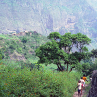
Stone houses with thatched roof located high in the distance against a massive shear mountain face. The land here is rocky, but with abundant plant life. The children appear to be heading back to the homes or leaving carrying baskets perhaps to…

http://www.ricdigitalcommons.com/Baxter_temp/CV-81-004.jpg
A view of the barren landscape of Sal. The landscape here has been compared to the surface of Mars, and the islands main export is salt, and has been mined for such since before the 15th century. This photograph was taken near Amilcar Cabral…

http://www.ricdigitalcommons.com/Baxter_temp/CV-85-027.jpg
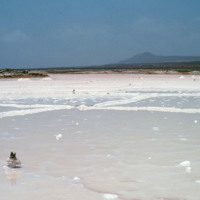
This picture, taken just outside of Sal Rei, shows several "salinas" (salt pans) for the production of sea salt. One of the main industries in the Cape Verde islands is salt mining, along with fishing, and ship repair.

http://www.ricdigitalcommons.com/Baxter_temp/CV-89-048.jpg
These large salt pans, or salinas, located near Vila do Maio, were the islands main source of income for centuries. Salt from these pans was transported to an English port where it was then shipped to various countries around the world. The business…

http://www.ricdigitalcommons.com/Baxter_temp/CV-89-049.jpg
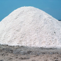
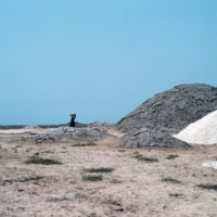
A pile of salt mined from salt pans located near Vila do Maio. The salinas were the islands main source of income for centuries. Salt from these pans was transported to an English port where it was then shipped to various countries around the world.…

http://www.ricdigitalcommons.com/Baxter_temp/CV-89-050.jpg
These large salt pans, or salinas, located near Vila do Maio, were the islands main source of income for centuries. Salt from these pans was transported to an English port where it was then shipped to various countries around the world. The business…

http://www.ricdigitalcommons.com/Baxter_temp/CV-89-051.jpg
These large salt pans, or salinas, located near Vila do Maio, were the islands main source of income for centuries. Salt from these pans was transported to an English port where it was then shipped to various countries around the world. The business…

http://www.ricdigitalcommons.com/Baxter_temp/CV-89-052.jpg
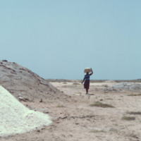
Piles of salt arranged near a salt pan on Maio. A woman transports some using a container balanced on her head.

These large salt pans, or salinas, located near Vila do Maio, were the islands main source of income for centuries. Salt from these…

http://www.ricdigitalcommons.com/Baxter_temp/CV-89-053.jpg
Piles of salt arranged near a salt pan on Maio. A woman transports some using a container balanced on her head.

These large salt pans, or salinas, located near Vila do Maio, were the islands main source of income for centuries. Salt from these…

http://www.ricdigitalcommons.com/Baxter_temp/CV-85-002.jpg
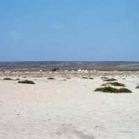
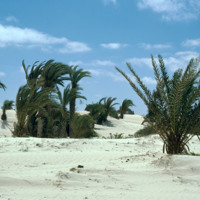
Pictured are sand dunes near the airport at Rabil. It is thought that the sand dunes of the island were an alluring site for seafarers since it may have been their first sight of land in as long as a couple of months.

http://www.ricdigitalcommons.com/Baxter_temp/CV-85-003.jpg
Pictured are sand dunes near the airport at Rabil. It is thought that the sand dunes of the island were an alluring site for seafarers since it may have been their first sight of land in as long as a couple of months.

http://www.ricdigitalcommons.com/Baxter_temp/CV-83-044.jpg
Pictured in the distance is the Teacher Training College in Santa Catarina, Santiago. The system provides its teachers with the training necessary to be successful educators. Individuals planning to be primary school teachers are given 2 years of…

http://www.ricdigitalcommons.com/Baxter_temp/CV-88-020.jpg
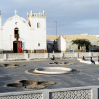
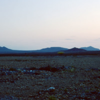
Located in the Central Praça of Sal Rei is the Santa Isabel Church. Since this photo was taken in 1988 the church and the area in front of it have been remodeled. The church now features a sand colored facade with bright blue accents and the square…
http://www.ricdigitalcommons.com/Baxter_temp/CV-88-021.jpg
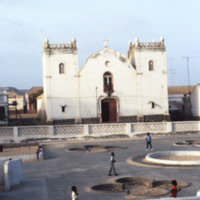
Located in the Central Praça of Sal Rei is the Santa Isabel Church. Since this photo was taken in 1988 the church and the area in front of it have been remodeled. The church now features a sand colored facade with bright blue accents and the square…
http://www.ricdigitalcommons.com/Baxter_temp/CV-81-109.jpg
Looking east on a coastal road that connects the small town of Paúl to Ribeira Grande. This area of the island is known for it's rough surf and high winds.

http://www.ricdigitalcommons.com/Baxter_temp/CV-81-211.jpg
A wide landscape view of Ribeira Brava in the hinterland of São Nicolaiu. This are of São Nicolau is particularly fertile, especially for an island in an archipelago made of volcanic rock. Scattered throughout the green valley is the town of Ribeira…

http://www.ricdigitalcommons.com/Baxter_temp/CV-81-212.jpg
The highlands of São Nicolau, home to Ribeira Brava, are among the most beautiful and agriculturally friendly of the Cape Verdean islands. Here, some scattered dwellings near Ribeira Brava and Panja.
Output Formats

atom, dcmes-xml, json, omeka-xml, rss2