Browse Items (1954 total)

http://www.ricdigitalcommons.com/temp/0852.jpg
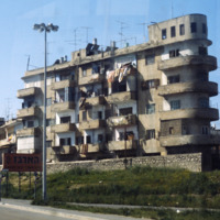
Tel Aviv has the largest collection of architecture in the International of any city in the world. This photograph is an example of housing built in the Bauhaus style, a style developed in pre-Nazi Germany. Because of the climate in Tel Aviv, the…

http://www.ricdigitalcommons.com/temp/0851.jpg
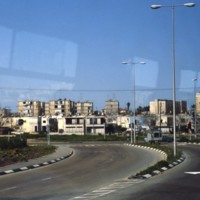
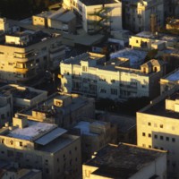
In this picture, more representations of Bauhaus architecture can be seen. This image was most likely taken in Tel Aviv’s White City, which consists of more than 5,000 of these types of buildings. The fact that Bauhaus architecture focuses mainly on…

http://www.ricdigitalcommons.com/temp/0850.jpg
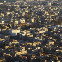
Amongst the dense housing in Tel Aviv, the Shalom Tower can be seen in the center of this image. The tower, also called Migdal Shalom, is considered one of the tallest and most modern buildings in all of Europe and Asia. It stands 142 meters tall and…

http://www.ricdigitalcommons.com/temp/0849.jpg
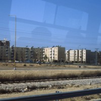
Shown in this picture is the Bauhaus architecture of Tel Aviv. This was introduced to the city during the 1920s and 1930s by German architects who moved to Palestine after the Nazi generation expanded. Bauhaus is a German modernist style of…

http://www.ricdigitalcommons.com/temp/0848.jpg
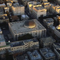
Designed in 1922 by Yehuda Magidovitch, the Great Synagogue in Tel Aviv is located east if the Shalom Tower. The building is made of concrete, glass and steel and consists of one large dome and many stained glass windows. These magnificent windows…

http://www.ricdigitalcommons.com/temp/0847.jpg
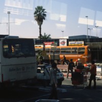
Pictured is the outside of Israel’s major International airport. What separates this airport from others around Europe is that it is open 24 hours, giving customers ease of travel. Within the past decade, the airport has been remodeled, and now…

http://www.ricdigitalcommons.com/temp/0846.jpg
Being the second most populated city in Israel, Tel Aviv is home to a population of 404,400. Early architecture composed of single-story European-style buildings with tiled red roofs. The 1920s brought on a different style to homes that were designed…

http://www.ricdigitalcommons.com/temp/0841.jpg
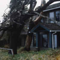
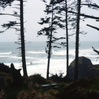
Stormy conditions and harsh winds in the coastal town of Canon Beach have sculpted the tree’s around the houses. This photograph shows the peculiar growth of the trees around a house. (date of photograph has been approximated)

http://www.ricdigitalcommons.com/temp/0840.jpg
Originally named Ecola for the river that empties, the name of this small Oregon town was changed to Canon Beach in 1922. As of the 2000 census there we 1,588 people living in Canon Beach. It is tourist attraction and popular weekend getaway for…

http://www.ricdigitalcommons.com/temp/0839.jpg
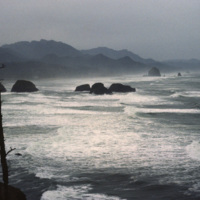
Originally named Ecola for the river that empties, the name of this small Oregon town was changed to Canon Beach in 1922. As of the 2000 census there we 1,588 people living in Canon Beach. It is tourist attraction and popular weekend getaway for…

http://www.ricdigitalcommons.com/temp/0837.jpg
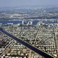
This aerial photograph looks north across Miami. Miami is one of the largest cities in the United States. Running across the photograph is Interstate 95. At frame left just north of the highway is the William's Island Country Club. Also seen is…

http://www.ricdigitalcommons.com/temp/0836.jpg
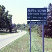
The Adopt a Highway program began in 1985. The program was conceived by James Evans, a engineer at the Texas Department of Transportation, who was inspired after seeing litter fly out of the back of a pickup. This 1990 photograph shows an Adopt a…

http://www.ricdigitalcommons.com/temp/0835.jpg
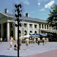
Boston’s Quincy Market, a 19th century marketplace built in the Greek Revival style. It is American architect Alexander Parris’ most famous building, and is made almost entirely of granite from New England. The Quincy Market fell into decline in…

http://www.ricdigitalcommons.com/temp/0834.jpg
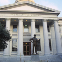
The MacArthur Memorial located in the old city hall at MacArthur Square in Norfolk. The 19th century city hall incorporates architectural elements from both the Greek and Roman revival. It was the site of the formal surrender to the Union Army in…

http://www.ricdigitalcommons.com/temp/0829.jpg
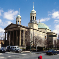
This photograph shows the Basilica of the National Shrine of the Assumption of the Blessed Mary in the 1980s. This image shows the dingy state the building had fallen into by the late 20th century. The building was restored in 2006. The Basilica…

http://www.ricdigitalcommons.com/temp/0828.jpg
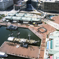
Baltimore’s Inner Harbor photographed in the 1980s. This aerial view shows the Light St. and Pratt St. Pavilions as well as the USS Constellation. The pavilions, developed by James W. Rouse, were part of Baltimore’s revitalization project which…

http://www.ricdigitalcommons.com/temp/0827.jpg
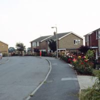
This photograph, taken in the English town of Tickhill, show’s late 20th century suburban developments in this wealthy twelfth century town. This small town has maintained it’s relatively small population, at the 2001 census it was home to 5,301…

http://www.ricdigitalcommons.com/temp/0826.jpg
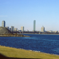
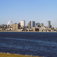
Located on Columbia Point, this is the view of Boston from the John F. Kennedy Presidential Library. Before being redeveloped the site had been a garbage dump. In this view of the Boston skyline are notable skyscrapers (left to right) The Prudential…

http://www.ricdigitalcommons.com/temp/0825.jpg
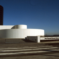
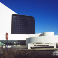
Designed by Chinese-American and modernist master architect I. M. Pei, the John F. Kennedy Presidential Library and Museum opened in 1979 after years of set back. It is located in the Dorchester neighborhood of Boston. This photograph shows the…

http://www.ricdigitalcommons.com/temp/0824.jpg
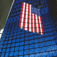
This interior photograph at the John F. Kennedy Presidential Library shows the American flag hanging in a 115 foot grey-glass pavilion. The pavilion stands between a circular section and the 125 foot concrete tower that houses the archives and…

http://www.ricdigitalcommons.com/temp/0823.jpg
The Boston skyline is photographed from The John F. Kennedy Presidential Library at Columbia Point in this 1987 photograph. In 1963 Kennedy chose Boston as the location of his Presidential Library because he felt the other Presidential Libraries…

http://www.ricdigitalcommons.com/temp/0822.jpg
The Presidential Library and Museum of 35th President John Fitzgerald Kennedy was dedicated in 1979, but planning for the library began during Kennedy’s life. He even visited potential locations in October 1963. Kennedy chose Boston as a location…

http://www.ricdigitalcommons.com/temp/0820.jpg
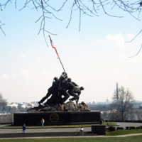
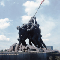
Also called the Iwo Jima memorial, the Marine Corps War Memorial was designed by Felix de Weldon. He was inspired by the photograph Raising the Flag on Iwo Jima taken by Joe Rosenthal during the Battle of iwo Jima. The memorial is dedicated to all…

http://www.ricdigitalcommons.com/temp/0819.jpg
Also called the Iwo Jima memorial, the Marine Corps War Memorial was designed by Felix de Weldon. He was inspired by the photograph Raising the Flag on Iwo Jima taken by Joe Rosenthal during the Battle of iwo Jima. The memorial is dedicated to all…

http://www.ricdigitalcommons.com/temp/0818.jpg
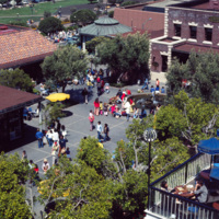
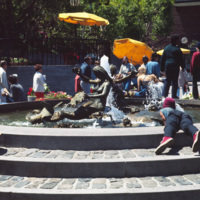
This aerial view of Ghiradelli Square shows Ruth Asawa’s Mermaid Fountain and the former Ghiradelli Chocolate Company buildings readapted for retail use. Since 1982, Ghiradelli Square has been on the National Register of Historic Places. It was…

http://www.ricdigitalcommons.com/temp/0817.jpg
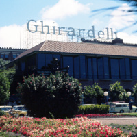
Ghiradelli Square, located in the Fisherman’s Warf area of San Fransisco, was once home to over 40 speciality shops and restaurants. After the square was put up for sale by the Ghiradelli Company, San Fransiscan natives William Roth and his mother…

http://www.ricdigitalcommons.com/temp/0816.jpg
Ghiradelli Square was originally the headquarters for the Ghiradelli Choolate Company, which purchased the entire city block in 1893. In the 1960s the square went up for sale and the purchasers readapted it to house a restaurant and shops making it…

http://www.ricdigitalcommons.com/temp/0815.jpg
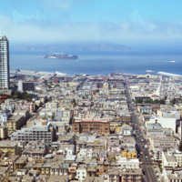
This San Francisco cityscape contains many of its well-known landmarks, including Alcatraz Island on the horizon and Sts. Peter and Paul Church at the left. Sts. Peter and Paul Church was built in 1924. Alcatraz Island was developed as a…

http://www.ricdigitalcommons.com/temp/0814.jpg
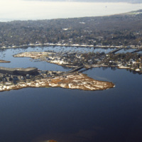
This aerial photograph was taken over Warren and looks west across Barrington and to Narragansett Bay. This photograph shows the distinctive shoreline of Belcher Cover and Tyler Point. Barrington had been a part of Warren from the 1747 until 1770.…
http://www.ricdigitalcommons.com/temp/0813.jpg
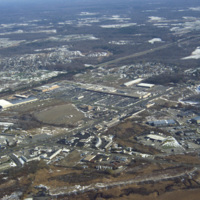
This aerial photograph shows strip mall development along Route Six in Seekonk. Running diagonally across the picture plane is Interstate Highway 195. Largely a residential suburb of Providence, Seekonk is also known for it’s retail shopping along…

http://www.ricdigitalcommons.com/temp/0812.jpg
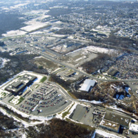
This photograph shows industrial and commercial developments in East Providence along state highway 114. Just barely visible on the horizon is Narragansett bay. The containers on the bay have since been torn down and the area has largely returned…
http://www.ricdigitalcommons.com/temp/0811.jpg
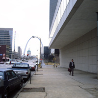
This photograph looks east on Market St. in St. Louis toward the Gateway Arch. The Gateway Arch was completed in 1965 and was built as a monument to western expansion in the United States. To the left is the Gateway Mall, an area of open space…

http://www.ricdigitalcommons.com/temp/0809.jpg
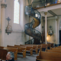
A source of controversy, this winding staircase in Loretto Chapel has been called miraculous by some, a hoax by others. A local legend suggests that the staircase was built by St. Joseph himself, while recently Mary Jean Straw has published a book…

http://www.ricdigitalcommons.com/temp/0808.jpg
The Caballo Dam is on the Rio Grande. It stores water to be discharged during the dry season for irrigation. It was built in the 1930s and is about fifteen miles south of Truth of Consequences. This photograph, taken in 1993, shows the damn with…

http://www.ricdigitalcommons.com/temp/0806.jpg
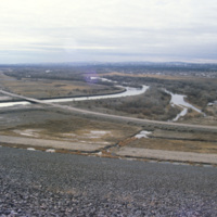
This frame is featuring one of the dams along the Rio Grande. In total there are two large dams and six small diversion dams, all of which make up the Rio Grande Project. The dams actively aide in supplying water to the states of Texas and New Mexico…

http://www.ricdigitalcommons.com/temp/0805.jpg
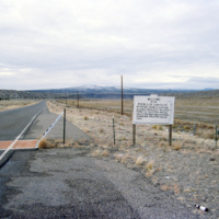
The boarder to San Felipe Indian Reservation in New Mexico is the homeland of a branch of the Native American Pueblo people. The reservation itself is approximately 79 square miles. As of the 2000 census the land is home to 3,185 people.

http://www.ricdigitalcommons.com/temp/0804.jpg
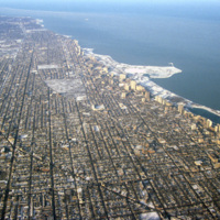
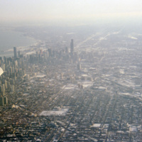
This aerial photograph shows Chicago’s north side, and Lake Michigan. Running along the shore is Chicago’s Lake Shore Drive, dotted with high rise buildings. Officially part of U.S. Highway 41, Lake Shore Drive serves to accommodate the travel needs…

http://www.ricdigitalcommons.com/temp/0803.jpg
Aerial photograph of Chicago taken in the winter of 1993. Chicago has among one of most dense skylines in the world. It is also home to some of the worlds tallest buildings, including the Willis Tower (formerly Sear Tower) which was the tallest in…

http://www.ricdigitalcommons.com/temp/0802.jpg
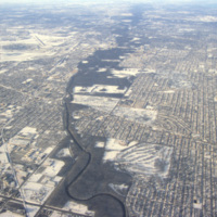
Aerial view of the northern section of Chicago. At the left is O’Hare International Airport. The Des Plaines River can also be seen running through the center of the frame.

http://www.ricdigitalcommons.com/temp/0801.jpg
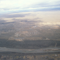
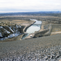
This image is showing an aerial view of the Rio Grande River. It is considered the fourth or fifth longest river system in North America. The river passes through the states of Colorado, New Mexico and Texas, thereby forming a natural border between…

http://www.ricdigitalcommons.com/temp/0800.jpg
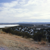
Flowing from southwestern Colorado to the Gulf of Mexico is the Rio Grande. Pictured is a dam along the the major river. With a total length of 1,896 miles, there are a large number of dams along the Rio Grande. These include: Cochiti Dam, Elephant…

http://www.ricdigitalcommons.com/temp/0799.jpg
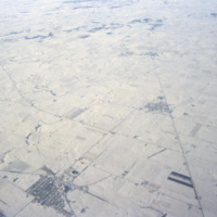
This aerial photograph shows patterns made by roads and farm land in the Iowan landscape during the winter.

Tags:

http://www.ricdigitalcommons.com/temp/0796.jpg
Old Town Albuquerque is a historic section of town that dates back to the early 18th century settlements by the Spanish. Today it is a popular destination for shoppers and tourists. There are many historic adobe buildings, including the San Felipe de…

http://www.ricdigitalcommons.com/temp/0794.jpg
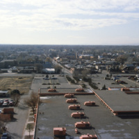
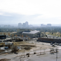
Albuquerque’s skyline in 1993, shortly after construction of the Albuquerque Plaza (1990). it’s distinct shape can be seen in the center in this photograph. While it saw much of the same cycle of decline and urban renewal as many US cities in the…

http://www.ricdigitalcommons.com/temp/0792.jpg
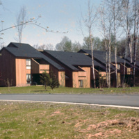
Centerville Court is an elderly housing complex in North Syracuse build in the 1970s. This housing complex, built during an oil crisis, originally used electric heating, but in recent years has been converted to natural gas to save energy coats.

http://www.ricdigitalcommons.com/temp/0791.jpg
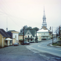
Cabano is a small town in the Canadian province of Quebec. In the twentieth century it experienced several devestating fires. In 1950 a fire destroyed over 100 homes. This 1965 photograph shows a house with a ladder on the roof, a fire prevention…

http://www.ricdigitalcommons.com/temp/0790.jpg
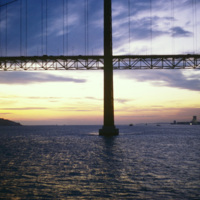
The 25 de Abril Bridge in Portugal is the largest suspension bridge in the world. Crossing over the Tagus River, the bridge was built by the American Bridge Company and inaugurated in 1966. It connects the capitol, Lisbon to Almada. Until 1974 the…

http://www.ricdigitalcommons.com/temp/0788.jpg
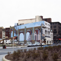
Shown on the side of this building is the optical illusion trompe l’oeil. Translated, the term stands for “deceive the eye”. This technique is achieved by using realistic imagery in order to give the optical illusion that the image is in 3D. (date…

http://www.ricdigitalcommons.com/temp/0787.jpg
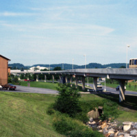
This picture shows a side view of the railway tracks for the Morgantown Personal Rapid Transit system. The entire system has a length of approximately 8.2 miles, along which 5 different stations can be found.

http://www.ricdigitalcommons.com/temp/0786.jpg
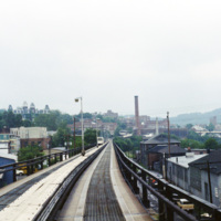
This photograph, taken from a car on the Morgantown Personal Rapid Transit system, show’s the unique tracks that the automated cars move upon. Each car is equipped with rubber wheels and receives energy and information from a rail in the center. This…
Output Formats

atom, dcmes-xml, json, omeka-xml, rss2