Browse Items (993 total)

  • Collection: Chester Smolski Photographs

1214.jpg
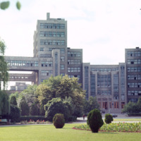
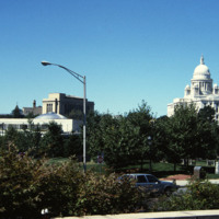
Chet Smolski describes this building as a science research building of the 1920s. This building is part of Karazin Kharkov National University. The park from which the photo was taken is called Svobody Square or Freedom Square. The building is a…

1215.jpg
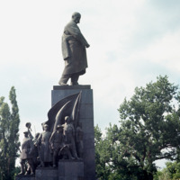
A monument in Kharkov to Ukraine’s greatest poet and artist who wrote and fought as a revolutionary democrat against serfdom and Tsarist rule. The monument is in Dzerzhinsky Square in Kharkov. A competition for the best Schevchenko monument took…

http://www.ricdigitalcommons.com/temp/5116.jpg
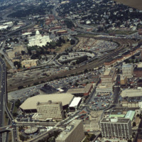
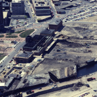
Here we see how the former Chinese Wall of train tracks had prevented the downtown development from reaching the capital. The center of the city is essentially a parking lot along the parameter of the downtown financial district. What we see is the…

http://www.ricdigitalcommons.com/temp/5117.jpg
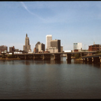
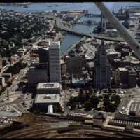
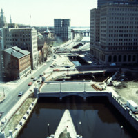
The Point Street Bridge (1927) spans the Providence River connecting Wickenden Street with Davol Place. The downtown Financial District is seen behind to the north.

http://www.ricdigitalcommons.com/temp/5119.jpg
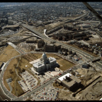
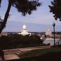
Designed by the architectural firm of McKim, Mead & White and constructed from 1895 to 1904. The building underwent a major renovation in the late 1990s. The building is made up of 327,000 cubic feet (9,300 m3) of white Georgia marble, 15 million…

http://www.ricdigitalcommons.com/temp/5120.jpg
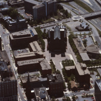
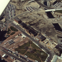
Towards the bottom of this image can be seen the so-called “Chinese Wall” that virtually separated downtown from Capital Center before the urban renaissance. Construction on Fleet Center is underway in the center, as well as Old Stone Square on South…

http://www.ricdigitalcommons.com/temp/5129.jpg
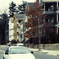
Heading west on Eaton Street from Douglas Ave towards Providence College. These triple-deckers are examples of early twentieth-century vernacular housing.

http://www.ricdigitalcommons.com/temp/5130.jpg
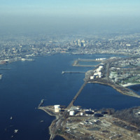
The Providence River is a tidal river that flows approximately 8 miles (13 km) from Narragansett Bay until it splits into the Woonasquatucket and Moshassuck Rivers in Providence. There are no dams along the river's length, although the Fox Point…

http://www.ricdigitalcommons.com/temp/5131.jpg
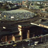
In 1986, the current Providence Station (shown here) was built to replace the 1898 station, as part of a redevelopment project to free up land from a mass of train tracks that had hemmed in downtown Providence. It is much smaller than its…

http://www.ricdigitalcommons.com/temp/5134.jpg
Providence's first railroad station was Union Railroad Depot, a brick edifice built in 1847 and designed by Thomas A. Tefft for the Providence and Worcester, Providence and Stonington, and Boston and Providence Railroads. This building was lost to…

http://www.ricdigitalcommons.com/temp/5137.jpg
The Rhode Island State House is made up of 327,000 cubic feet (9,300 m3) of white Georgia marble, 15 million bricks, and 1,309 short tons (1,188 t) of iron floor beams (wikipedia). The dome is currently the fourth largest self-supporting stone dome…

http://www.ricdigitalcommons.com/temp/5147.jpg
Designed by I.M. Pei and Zion & Breen, Cathedral Plaza was intended to be a marvelous piazza as the forecourt for one of Providence’s most monumental and important churches, the Cathedral of Saints Peter and Paul. (date of photograph is…

http://www.ricdigitalcommons.com/temp/5148.jpg
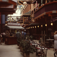
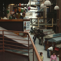
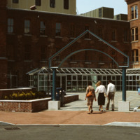
Home to the Davol Rubber Co. from 1884 until 1977, the complex were rehabilitated and reopened for mixed retail and office use in 1982. However, despite high occupancy and easy highway access, the shops slowly disappeared and the mall closed down in…

http://www.ricdigitalcommons.com/temp/5149.jpg
The park beside the Old Stone Square Building is the result of a corporate lawsuit forcing Barnes to limit his appropriation of the views of historic South Main Street. The outcome of the suit was the creation of a public space that rehabilitated the…

http://www.ricdigitalcommons.com/temp/5155.jpg
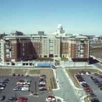
A bland review of Pruitt-Igoe subsidized housing. Photo taken from One Citizens Plaza.

http://www.ricdigitalcommons.com/temp/5159.jpg
This photo shows work in progress in relocating Suicide Circle and uncovering and re-channeling the Mosshasuck and Woonasquatucket RIvers. Newly constructed Washington Street Bridge is in the foreground, but the old Fulton Street entrance to Suicide…

http://www.ricdigitalcommons.com/temp/5160.jpg
The Providence Biltmore Hotel is an upscale hotel that opened in 1922 as part of the Biltmore Hotel chain. It was founded by John McEntee Bowman and Louis Wallick, and is currently owned by Grand Heritage Hotels International. It was added to the…

http://www.ricdigitalcommons.com/temp/5163.jpg
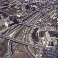
This aerial shows the way in which I-95 bisects the Financial District of downtown from Federal Hill and the West Side of Providence. Overpasses from top to bottom include Broadway, Washington Street, Westminster Sreet, Broad Street, and Pine Street…

http://www.ricdigitalcommons.com/temp/5164.jpg
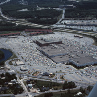
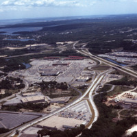
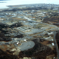
Warwick Mall is an enclosed shopping mall in Warwick, Rhode Island, on the north side of Interstate 295 near the junction of Interstate 95. Composed of more than 1,000,000-square-foot (100,000 m2) of retail space, it features more than 70 stores and…
http://www.ricdigitalcommons.com/temp/5165.jpg
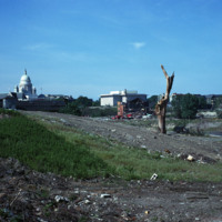
General wasteland of Randall Square before renewal. St. Patrick’s Church can be seen in the left near the State House, and the Armenian Church is on the extreme right. Also of note are the triple-deckers to the west which were once part of…

http://www.ricdigitalcommons.com/temp/5166.jpg
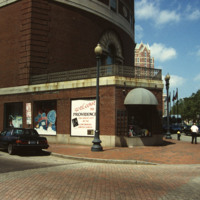
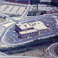
Designed by Py-Vavara Architects of Minneapolis, this photo shows the Marriott two years after completion.

http://www.ricdigitalcommons.com/temp/5167.jpg
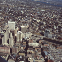
Aerial showing the old Financial District with new additions including the building at Old Stone Square (Edward Larrabee Barnes, 1984), 50 Kennedy Plaza (a.k.a. Fleet Center, Helmut, Obata & Kassebaum, 1985), One Financial Plaza (a.k.a Soveign…

http://www.ricdigitalcommons.com/temp/5169.jpg
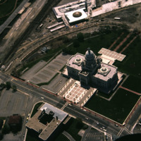
Designed by the architectural firm of McKim, Mead & White and constructed from 1895 to 1904. The building underwent a major renovation in the late 1990s. The building is made up of 327,000 cubic feet (9,300 m3) of white Georgia marble, 15 million…

http://www.ricdigitalcommons.com/temp/5170.jpg
Railroad relocation was one of the core elements of the Providence Renaissance. In this aerial we can see the dirt lot where the railroad tracks were formerly located. Here we also see the burned roof of Union Station.

http://www.ricdigitalcommons.com/temp/5171.jpg
Union Railroad Depot, by Thomas A. Tefft, was opened in 1847. It was considered "a brilliant example of Romanesque architecture" in its time, and the longest building in America. As the city continued to grow, so too did the need for terminal space,…

http://www.ricdigitalcommons.com/temp/5175.jpg
Quonset Point is a small peninsula in Narragansett Bay in the U.S. state of Rhode Island. It is contained entirely within the town of North Kingstown. Quonset Point was the location of Naval Air Station Quonset Point, a large United States Navy base.…

http://www.ricdigitalcommons.com/temp/5177.jpg
In 1871, Betsey Williams, great-great-grandaughter of Providence founder Roger Williams, gave the city the 102 acre tract of land with the provision that the land be used for a park or cemetery and that a memorial to Roger WIlliams be included. It…

http://www.ricdigitalcommons.com/temp/5178.jpg
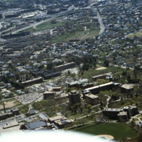
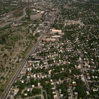
Aerial view looking east over Elmhurst and Wansuck neighborhoods in northwest Providence. Providence College in the foreground, Douglas Ave., St. Patrick’s Cemetery, and the Chad Brown Housing Project (1941). Chad Brown was the first low-rent public…

http://www.ricdigitalcommons.com/temp/5181.jpg
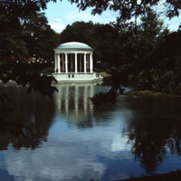
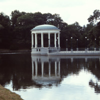
On Roosevelt Lake behind the Casino at Roger Williams Park sits the bandstand (John Hutchins Cady, 1915). According to Jordy, this classical revival structure has an “open, colonnaded Ionic rotunda as the climax of a metal-fenced, masonry platform…

http://www.ricdigitalcommons.com/temp/5182.jpg
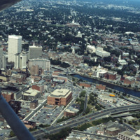
Aerial of downtown, I-195, and the Providence River. The building at Old Stone Square and Fleet Center are in the early stages of construction in this photo.

http://www.ricdigitalcommons.com/temp/5184.jpg
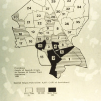
A map of the percentage of people with Spanish origin in Providence in 1980. Spanish origin population: 9,071 (5.8% of Providence). Key: in white areas less than 5% of people are of Spanish origin; horizontal lines are areas with 5%-15% Spanish…

http://www.ricdigitalcommons.com/temp/5185.jpg
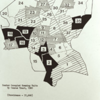
37,968 renter occupied housing units by census tract, Providence 1980. Key (in hundreds): white is less than 7.0; horizontal lined represents 7.0-10.5; diagonal lined is 10.5-14.0; and black is more than 14.0.

http://www.ricdigitalcommons.com/temp/5186.jpg
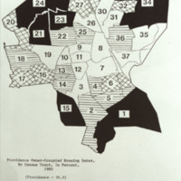
Providence owner-occupied housing rates by Census Tract (36.9% owner-occupied),1980. Key: white is less than 25.0%; horizontal lined is 25.0-36.9%; hatched is 37.0-50.0%; and black is more than 50.0%

http://www.ricdigitalcommons.com/temp/5187.jpg
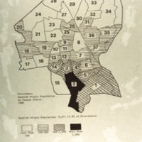
Providence population of Spanish origin by Census Tracts, 1980 Spanish Origin Population: 9,071 (5.8% of Providence) Key: white - less than 100 horizontal lines - 100-500 hatched - 500-1,000 black - more than 1,000

http://www.ricdigitalcommons.com/temp/5188.jpg
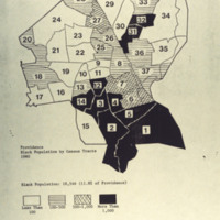
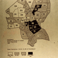
Providence Black Population by Census tracts 1980 Black Population: 18,546 (11.8% of Providence) Key: white - less than 100 horizontal lines - 100-500 hatched - 500 - 1,000 black - more than 1,000

http://www.ricdigitalcommons.com/temp/5189.jpg
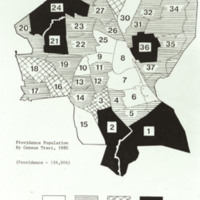
Providence population (156,804) by Census Tract, 1980 Key (in thousands): white - less than 2.5 horizontal lines - 2.5-5.4 hatched - 5.5-7.0 black - more than 7.0

http://www.ricdigitalcommons.com/temp/5190.jpg
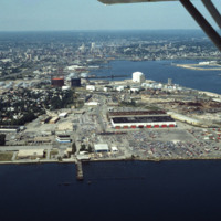
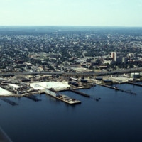
Looking west over Providence Harbor, this shot shows a portion of the ten miles of commercial waterfront on Narragansett Bay. The industrial waterfront has been “long-overlooked” despite its historic role as the source Providence’s original…

5192.jpg
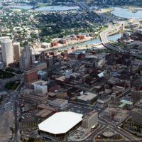
Aerial view of Providence downtown area. Among America’s oldest cities, Providence has a special sense of place. Like its contemporaries, it has been built and rebuilt many times. Development, however, has not resulted in wholesale destruction and…

http://www.ricdigitalcommons.com/temp/5193.jpg
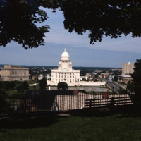
The Rhode Island State House is made up of 327,000 cubic feet (9,300 m3) of white Georgia marble, 15 million bricks, and 1,309 short tons (1,188 t) of iron floor beams (wikipedia). The dome is currently the fourth largest self-supporting stone dome…

http://www.ricdigitalcommons.com/temp/5194.jpg
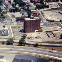
A view of Charlesgate Apartments built and Nursing Center under construction. Image looks east with U.S. 95N in the foreground. Charlesgate has 140 beds and is currently 94% occupied.

http://www.ricdigitalcommons.com/temp/5197.jpg
On Roosevelt Lake behind the Casino at Roger Williams Park sits the bandstand (John Hutchins Cady, 1915). According to Jordy, this classical revival structure has an “open, colonnaded Ionic rotunda as the climax of a metal-fenced, masonry platform…

http://www.ricdigitalcommons.com/temp/5198.jpg
Before Roger Williams Park (1871), Fields Point was considered the city’s premier park location and the site of popular restaurants and the Washington Park Yacht Club. Once a “bucolic landscape of rolling hills, quiet coves and shaded groves”, Fields…

http://www.ricdigitalcommons.com/temp/5200.jpg
North Burial Ground was Providence’s first dedicated open space. Ten acres were allocated north of the “Compact Part of Town” in 1700 by a land grant from the town meeting. The first interment, however, was not until 1710-11, although it has been…

http://www.ricdigitalcommons.com/temp/5204.jpg
Blacks as a percent of he census tract population in Providence in 1980.

http://www.ricdigitalcommons.com/temp/5205.jpg
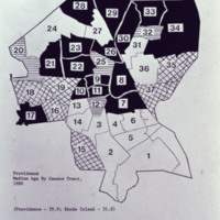
Providence Median age by Census tract in 1980

http://www.ricdigitalcommons.com/temp/5206.jpg
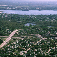
Rhode Island Mall (Midland Mall, 1967) was a once popular shopping center that now contains only a half-dozen open businesses. Warwick Mall opened five years after Midland Mall and a mile to its north. Composed of more than 1,000,000-square-foot…
http://www.ricdigitalcommons.com/temp/5207.jpg
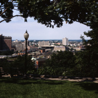
View looking west from Prospect Terrace Park. Cathedral Sq., Providence City Hall, and the Providence Biltmore appear on the left side of the photo. In the center of the photo are the yellow brick Union Station buildings and the old train tracks to…

http://www.ricdigitalcommons.com/temp/5208.jpg
Home to the Davol Rubber Co. from 1884 until 1977, the complex were rehabilitated and reopened for mixed retail and office use in 1982. However, despite high occupancy and easy highway access, the shops slowly disappeared and the mall closed down in…
http://www.ricdigitalcommons.com/temp/5209.jpg
Home to the Davol Rubber Co. from 1884 until 1977, the complex were rehabilitated and reopened for mixed retail and office use in 1982. However, despite high occupancy and easy highway access, the shops slowly disappeared and the mall closed down in…
Output Formats

atom, dcmes-xml, json, omeka-xml, rss2