Browse Items (1954 total)

http://www.ricdigitalcommons.com/temp/5411.jpg
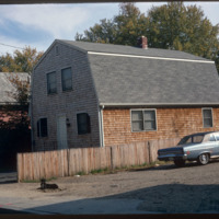
  Housing in South Providence built under the Section 235 Housing Act of 1968.  While 235 housing allowed families to buy a home through subsidized mortgages, it has also been criticized for effectively segregating the population, putting white…

http://www.ricdigitalcommons.com/temp/4941.jpg
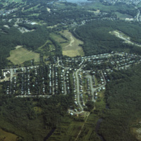
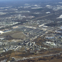
An aerial photo showing a housing subdivison located to the south of Boston, Massachusetts.

http://www.ricdigitalcommons.com/temp/4940.jpg
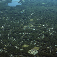
An aerial photo showing scattered housing located to the south of Boston, Massachusetts. The photo seems to overlook the town of Brockton, with Waldo Lake and Thirtyacre Pond at the top of the frame and with what is now the West Middle School at the…

http://www.ricdigitalcommons.com/temp/5257.jpg
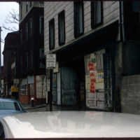
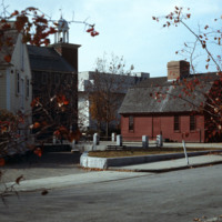
Looking north on South Main St. the peak of the Office of the Attorney General (150 South Main St.) is just visible on the left. The building in the foreground is now occupied by Ursillo, Teitz & Ritch, Ltd. The building at the north corner of…

http://www.ricdigitalcommons.com/temp/1247.jpg
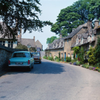
Snowshill, pronounced “Snozill”, is a village located on “the edge” of the Cotswolds, a range of hills in England (This England, 148). The area is designated an Area of Natural Beauty (AONB), which is considered to be equivalent to the status of a…

http://www.ricdigitalcommons.com/temp/5428.jpg
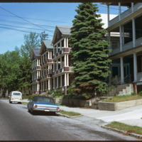
  The triple decker, a house accommodating three units, emerged as a distinct form as early as the 1890s.  Primarily a tenement, they are common throughout urban areas in southern New England.  These triple deckers on Eaton St. were likely demolished…

http://www.ricdigitalcommons.com/temp/5542.jpg
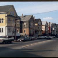
Triple-deckers photographed on Douglas Ave.  This photograph illustrates the architectural variety in the triple-decker style.  Most were intended for lower-income families and provided only rudimentary quarters.  These proliferated on the side of…

http://www.ricdigitalcommons.com/Baxter_temp/CV-88-009.jpg
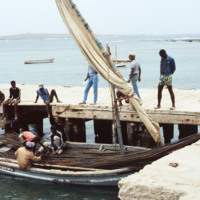
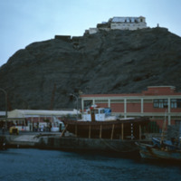
A small vessel, the Independencia, filled with cable wire, is docked at the Port of Sal rei.

http://www.ricdigitalcommons.com/Baxter_temp/CV-85-028.jpg
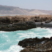
Pictured is a very small inlet showing the beauty and ferocity of the ocean currents.

http://www.ricdigitalcommons.com/Baxter_temp/CV-85-078.jpg
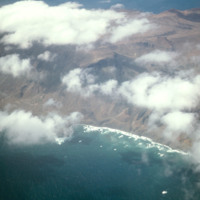
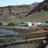
An unidentified small town, nestled in the coastal hills of S

http://www.ricdigitalcommons.com/temp/5426.jpg
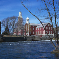
  The Old Slater Mill was dedicated exclusively to the production of cotton thread until 1829 and then continuously occupied until 1921 with various owners and renters who altered its physical structure to suit whatever enterprise they brought with…

http://www.ricdigitalcommons.com/temp/5446.jpg
  Slater Mill Historic Site, also known as Slater Mill or Old Slater Mill, is located on the Blackstone River in Pawtucket, RI. Slater Mill was built in 1793. It served as the first commercially viable water-powered roller cotton-spinning mill in the…

JM-IAIRI-19XXXXXX-31.jpg
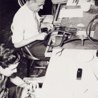
This scene shows the workers in one of the early jewelry shops. Many of the early Italian immigrants that were given the right opportunity, developed into skilled pattern makers, model makers, and mold makers.

http://www.ricdigitalcommons.com/temp/1251.jpg
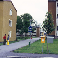
While the Million Programme, a nation wide effort in the 1960s to create one million new homes in Sweden, has been criticized as creating concrete high-rises that are a blemish on the city’s skyline, many of the home were also small three floored…

http://www.ricdigitalcommons.com/temp/1250.jpg
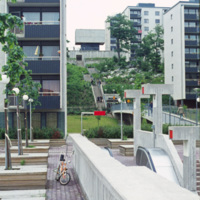
Million Programme style housing in Skärholmen, a suburban district of south-west Stockholm, was built in Sweden during the 1960s as part of a nation wide effort to create one million new homes in a decade. While the project did achieve the goal of…

http://www.ricdigitalcommons.com/Baxter_temp/CV-89-014.jpg
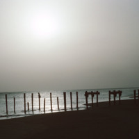
A silhouetted image of the ruins of a dock near Vila do Maio. Until the 19th century the island was a large exporter of salt that was mined on the island. Tarrifs introduced by Brazil in the 19th century, which was the principle market for the island…

http://www.ricdigitalcommons.com/Baxter_temp/CV-83-022.jpg
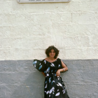
An unidentified woman stands beneath a sign that translates to:
"In 1947, Emilio Santiago discovered and identified the existence of pozolan in the landscape of Cape Verde. With 93 years, Luiz C. Santiago selflessly and courageously made the…

http://www.ricdigitalcommons.com/Baxter_temp/CV-81-226.jpg
The city of Tarrafal, located in the southwestern region of São Nicolau, boasts this beautiful beach and bay. The body of water is used for fishing, swimming, and as a resting place for many colorful fishing boats. The beach is a popular attraction…

http://www.ricdigitalcommons.com/Baxter_temp/CV-83-003.jpg
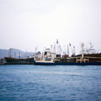
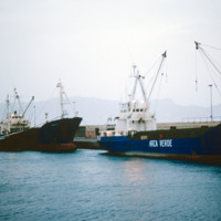
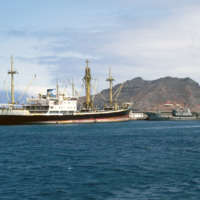
Cargo and fishing vessels docked at Porto Grande, the country's largest port. Porto Grande is located in Mindelo. Porto Grande is used for imports but also as a storage port for visiting vessels. It was equiped with a fish freezing plant a few years…

http://www.ricdigitalcommons.com/Baxter_temp/CV-83-002.jpg
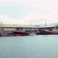
Cargo and fishing vessels docked at Porto Grande, the country's largest port. Porto Grande is located in Mindelo. Porto Grande is used for imports but also as a storage port for visiting vessels. It was equiped with a fish freezing plant a few years…

http://www.ricdigitalcommons.com/Baxter_temp/CV-81-064.jpg
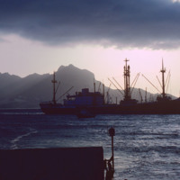
Ships at Porto Grande in Mindelo are photographed from "Porto Novo," a ferry that ran daily service between São Vicente and Santo Antão until it was retired.

http://www.ricdigitalcommons.com/Baxter_temp/CV-81-015.jpg
Ships docked at Porto Grande, in the Bay of Mindelo. The port is one of Cape Verde's main ports for receiving imports. Since independence in the 1970s the port has been improved on and is an important part of the local and national economy.

http://www.ricdigitalcommons.com/Baxter_temp/CV-81-018.jpg
A fishing vessel in the Bay of Mindelo. São Vicente's greatest natural resource is it's harbor, which is home to Porto Grande, and has helped make Mindelo one of the largest cities in the nation as well as the cultural center.

http://www.ricdigitalcommons.com/temp/5455.jpg
  Goat Island is a small island in Narragansett Bay and is part of the city of Newport, Rhode Island. The island is connected to the Easton's Point neighborhood via a causeway bridge. Goat Island is home to the Newport Harbor Light (1842). Native…

http://www.ricdigitalcommons.com/Baxter_temp/CV-81-243.jpg
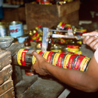
Here is a close up of a tool that is used in the tuna can production. This photo is taken at the SUCLA tuna cannery in Tarrafal, São Nicolau.

http://www.ricdigitalcommons.com/Baxter_temp/CV-81-242.jpg
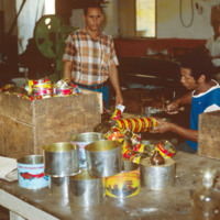
The shaping and labeling process of tuna canning at the SUCLA cannery in Tarrafal.

http://www.ricdigitalcommons.com/Baxter_temp/CV-81-241.jpg
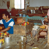
The shaping and labeling process of tuna canning can be seen at a different angle in this image.

http://www.ricdigitalcommons.com/Baxter_temp/CV-81-240.jpg
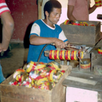
A worker at the SUCLA plant is pictured shaping and labeling tuna cans.

http://www.ricdigitalcommons.com/Baxter_temp/CV-81-322.jpg
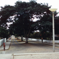
Nova Sintra, a community of seven "praças" or squares because of the hilly terrain. Here a cobblestone street is divided and shaded by large trees. The sides of the roads are lined with Hibiscus trees.

http://www.ricdigitalcommons.com/Baxter_temp/CV-89-065.jpg
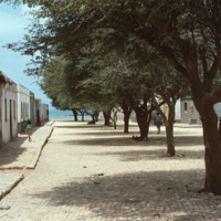
A shady cobblestone street in Calheta is lined on both sides by stone houses. Calheta is a small coastal village on Maio.

NTB-105-23-003.pdf
Clipping describing experiences in Phelps household, including bells ringing, spoons bending, objects flying through the air. Quotes Phelps’s description of phenomena as “visitation from God.”

http://www.ricdigitalcommons.com/temp/0701.jpg
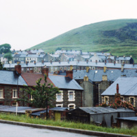
Senghenydd was a rural community until it was industrialized in the 19th century after coal was discovered in the hills. It is located in Aber Valley. This 1980 photograph shows dense housing and the surrounding hill side. The coal mines have since…

http://www.ricdigitalcommons.com/temp/0813.jpg
This aerial photograph shows strip mall development along Route Six in Seekonk. Running diagonally across the picture plane is Interstate Highway 195. Largely a residential suburb of Providence, Seekonk is also known for it’s retail shopping along…

http://www.ricdigitalcommons.com/Baxter_temp/CV-81-058.jpg
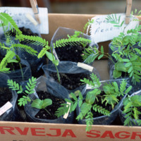
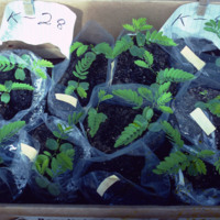
Seedling of "leucina," a non-governmental reforestation experiment conducted by David Baxter, Pedro Almeida, John P. Santos and Joe Alves Jr.
http://www.ricdigitalcommons.com/Baxter_temp/CV-81-057.jpg
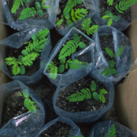
Seedling of "leucina," a non-governmental reforestation experiment conducted by David Baxter, Pedro Almeida, John P. Santos and Joe Alves Jr.
http://www.ricdigitalcommons.com/Baxter_temp/CV-81-056.jpg
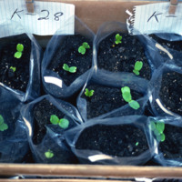
Seedling of "leucina," a non-governmental reforestation experiment conducted by David Baxter, Pedro Almeida, John P. Santos and Joe Alves Jr.
http://www.ricdigitalcommons.com/Baxter_temp/CV-81-055.jpg
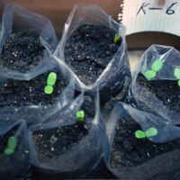
Seedling of "leucina," a non-governmental reforestation experiment conducted by David Baxter, Pedro Almeida, John P. Santos and Joe Alves Jr.
http://www.ricdigitalcommons.com/Baxter_temp/CV-81-054.jpg
Seedling of "leucina," a non-governmental reforestation experiment conducted by David Baxter, Pedro Almeida, John P. Santos and Joe Alves Jr.

http://www.ricdigitalcommons.com/Baxter_temp/CV-81-053.jpg
Seedling of "leucina," a non-governmental reforestation experiment conducted by David Baxter, Pedro Almeida, John P. Santos and Joe Alves Jr.

http://www.ricdigitalcommons.com/Baxter_temp/CV-81-121.jpg
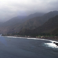
An alternate view of the village pictured in the previous slide. The mountains begin rising directly from the ocean and crest in foggy peaks. The mountains appear to have black soil because much of the land is made up of volcanic rock.

http://www.ricdigitalcommons.com/Baxter_temp/CV-88-001.jpg
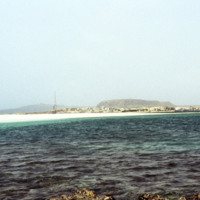
Sal Rei, the main settlement on the island Boavista, is seen on the horizon in this seascape photographed by David Baxter in 1988.

http://www.ricdigitalcommons.com/temp/0735.jpg
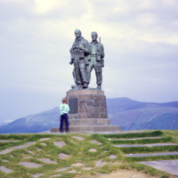
The Commando Memorial, a monument in Scotland, is dedicated to the British Commando Forces of World War II who trained in Scottland. A competition was held for the design, and the winner was Scott Sutherland. It is inscribed with the year 1951, but…

JM-IAIRI-19XXXXXX-31.jpg
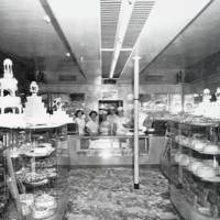
The display area of the Scialo Brothers Bakery, located at 257 Atwells Avenue in Providence, features examples of the fancy pastry and wedding cakes that have been baked by the Scialos since 1916. In the photograph are Giuseppe Gaeta, Carol (Scialo)…

http://www.ricdigitalcommons.com/Baxter_temp/CV-88-110.jpg
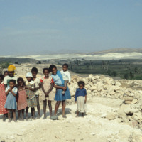
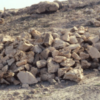
Eleven children pose for a picture in front of a pile of limestone.

http://www.ricdigitalcommons.com/Baxter_temp/CV-88-109.jpg
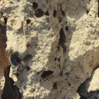
A closeup of limestone in Boa Vista.

Tags:

http://www.ricdigitalcommons.com/Baxter_temp/CV-88-108.jpg
A pile of limestone in Boa Vista

Tags:

http://www.ricdigitalcommons.com/temp/1322.jpg
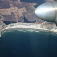
Scarborough beach as seen from the air in 1967. The beach was established as a public park in 1937 and in the late 1980s it under went renovation. Today Scarborough Beach continues to be a major destination for Rhode Island residents.

JM-IAIRI-19XXXXXX-43.jpg
The wedding of Saverio (Sam) DiMeglio to Frances De Libero is shown here. Sam was the buyer for the fruit and vegetable operation and traveled regularly to the Caribbean area to purchase many of the fruit items carried at the DiMeglio markets. They…

http://www.ricdigitalcommons.com/temp/1244.jpg
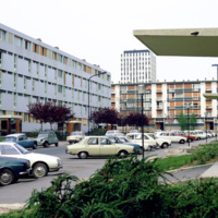
This 1973 photograph shows an habitation à loyer modéré (HLMs, English: ”housing at moderated rents”), which is similar to housing projects in the United States built around the same time. The HLM pictured is in Sarcelles, a French commune…

http://www.ricdigitalcommons.com/Baxter_temp/CV-83-001.jpg
An aerial view of São Vicente.
Output Formats

atom, dcmes-xml, json, omeka-xml, rss2