Browse Items (1954 total)

http://www.ricdigitalcommons.com/temp/0416.jpg
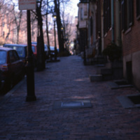
The Boston neighborhood known as the South End (see notes) was once marshland that was filled in the 1840s as a solution to overcrowding in the Back Bay area. Renowned architect Charles Bulfinch created a plan for the South End neighborhood’s…

http://www.ricdigitalcommons.com/temp/0417.jpg
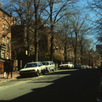
The Boston neighborhood known as the South End (see notes) was once marshland that was filled in the 1840s as a solution to overcrowding in the Back Bay area. Renowned architect Charles Bulfinch created a plan for the South End neighborhood’s…

http://www.ricdigitalcommons.com/temp/0515.jpg
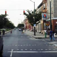
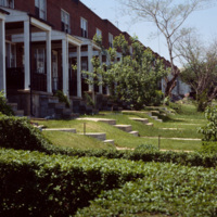
Row houses were popular in urban areas of the East Coast throughout the 19th century. Baltimore’s urban landscape has the best representation of the row house architecture, varying from grand manses to middle-class homes in various architectural…

http://www.ricdigitalcommons.com/temp/0516.jpg
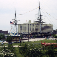
This 1978 photograph shows the USS Constellation at the inner harbor in Baltimore, Maryland. It was moved here in 1968 as part of the city’s revitalization plan. In the 1970’s the Inner Harbor emerged as the cultural center of Baltimore with the USS…

http://www.ricdigitalcommons.com/temp/0517.jpg
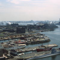
Baltimore’s Inner Harbor has become the cultural center of the city since the waterfront revitalization project launched in the 1970’s. This 1978 photograph show’s the docks before they were developed into the National Aquarium and various commercial…
http://www.ricdigitalcommons.com/temp/0518.jpg
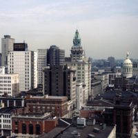
This view of the Baltimore skyline show’s the city in transition during the revitalization process that began around 1970. The 18 story building in the center of the photograph is the Maryland Casualty Company Tower, known locally as the Tower…

http://www.ricdigitalcommons.com/temp/0519.jpg
The Maryland Science Center (MSC) was built in the Inner Harbor in 1976, but grew from the Maryland Academy of Sciences formed in 1797. When the MSC opened in June 1976 it had both interactive exhibits and a state of the art planetarium. Since then…

http://www.ricdigitalcommons.com/temp/0520.jpg
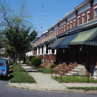
An example of row housing in Baltimore, Maryland. While row houses are popular in many cities, Baltimore in particular has them in the thousands in various architectural styles. This 1978 photograph from the Smolski collection shows an unidentified…

http://www.ricdigitalcommons.com/temp/0521.jpg
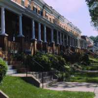
Row houses were popular in urban areas of the East Coast throughout the 19th century. Baltimore’s urban landscape has the best representation of the row house architecture, varying from grand manses to middle-class homes in various architectural…

http://www.ricdigitalcommons.com/temp/0522.jpg
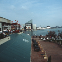
The National Aquarium in Baltimore, Maryland. Photographed from a restaurant across the Inner Harbor, this 1985 view of the National Aquarium is before the historic ships, including the USS Torsk were moored as permanent installations. The building…

http://www.ricdigitalcommons.com/temp/0523.jpg
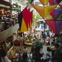
This interior photograph shows the Light Street Pavilion at Harborplace Mall. This Inner Harbor mall was opened in 1980 as the centerpiece of the downtown revival. The mall originally consisted of two two-story pavilions, Pratt St. and Light St.…

http://www.ricdigitalcommons.com/temp/0524.jpg
Row houses were popular in urban areas of the East Coast throughout the 19th century. Baltimore’s urban landscape has the best representation of the row house architecture, varying from grand manses to middle-class homes in various architectural…

http://www.ricdigitalcommons.com/temp/0526.jpg
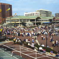
The Inner Harbor Plaza is a tourist friendly area in downtown Baltimore that has been described as a model for post-industrial waterfront redevelopment. This 1985 photograph gives an impression of the amount of draw the museums, shopping and…
http://www.ricdigitalcommons.com/temp/0527.jpg
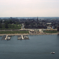
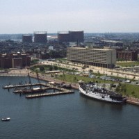
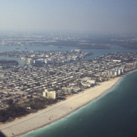
This southwest facing aerial view of Baltimore’s Inner Harbor shows it in a transitional stage. The Maryland Science Center is without it’s later added IMAX theater and lobby. The long tan building on Light St. is Christ Church Harbor apartments, an…

http://www.ricdigitalcommons.com/temp/0528.jpg
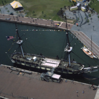
An aerial photograph of the USS Constellation shows it in it’s deteriorating condition prior to it’s 1990’s restoration. The 19th century fighting ship was used in military service through World War II before ending up in Baltimore as a relic.

http://www.ricdigitalcommons.com/temp/0529.jpg
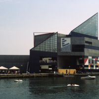
The National Aquarium in Baltimore photographed in 1985 shows it in it’s original form under the direction of Peter Chermayeff of the Cambridge Seven. Additions to the aquarium were made in 1990 and 2004. The National Aquarium is in Baltimore’s Inner…

http://www.ricdigitalcommons.com/temp/0530.jpg
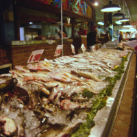
An interior view of the Cross Street Market is located on Federal Hill in Baltimore. This popular market, established in 1846, has gone through a couple incarnations. It’s current structure, completed in 1952, is 30,000-sqaure-feet and hosts about…

http://www.ricdigitalcommons.com/temp/0531.jpg
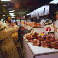
The Cross St. Market is one of Baltimore’s six surviving market places. Located in Federal Hill and close to the Inner Harbor, it is a popular destination for tourists and locals alike. The Cross St. Market sells produce, fresh meat and seafood. The…

http://www.ricdigitalcommons.com/temp/0532.jpg
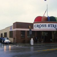
The Cross St. Market on Charles St. is a one of Baltimore’s six surviving marketplaces. This structure was built in 1952 after a fire destroyed the two story Italian revival building that had stood since the turn of the century. The Cross St. Market…

http://www.ricdigitalcommons.com/temp/0533.jpg
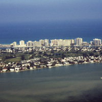
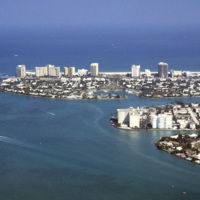
An aerial photograph of La Gorce island in Miami Beach, Florida. In the foreground is La Gorce Golf Course and Country Club. The eastern shore is lined with hotels and resorts.

http://www.ricdigitalcommons.com/temp/0513.jpg
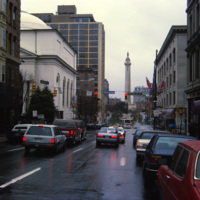
The Washington Monument and Museum at Mount Vernon Place, visible beyond busy Charles Street in Baltimore, Maryland. The monument is 178 feet tall and sits atop a hill in the heart of Baltimore. Architect Robert Mills designed the monument. Completed…

http://www.ricdigitalcommons.com/temp/0514.jpg
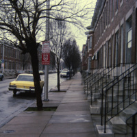
Row houses were popular in urban areas of the East Coast throughout the 19th century. Baltimore’s urban landscape has the best representation of the row house architecture, varying from grand manses to middle-class homes in various architectural…

http://www.ricdigitalcommons.com/temp/0534.jpg
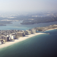
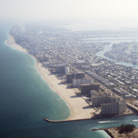
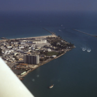
This aerial view shows Bal Harbor, Bal Harbor beach, and Biscayne Bay. At frame left, just above the small island, is where Florida International University’s Biscayne Bay Campus would be located. In this image some of the early construction for the…

http://www.ricdigitalcommons.com/temp/0535.jpg
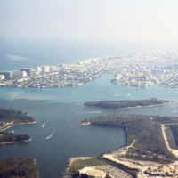
This southeast facing photograph looks across Bal Harbor toward Miami Beach’s Oceanfront. Visible at the bottom of the frame is construction of Florida International University’s Biscayne Bay Campus.

http://www.ricdigitalcommons.com/temp/0536.jpg
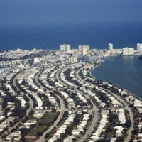
An east facing aerial photograph shows Miami Beach’s Oceanfront and Bal Harbor Islands in the late 1970’s. In the 1970’s Miami Beach’s tourism industry saw declines. Over the next decade, hundreds of Cuban refugee’s would move into the area which in…
http://www.ricdigitalcommons.com/temp/0537.jpg
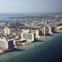
Looking south, this aerial photograph show’s Miami Beach’s Oceanfront in the late 1970’s. Clearly visible is the string of hotels in the style now known as Miami Modernist Architecture (MiMo) along Collins Ave. In the late 2000’s preservationists…
http://www.ricdigitalcommons.com/temp/0538.jpg
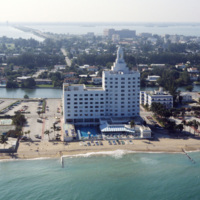
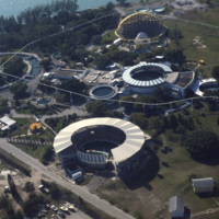
At the center of the aerial photograph is the Carillon Hotel, a wonderful example of the Miami Modernist Architectural (MiMo) style designed by Norman Giller. First opened in 1957, it has since been repurchased and modified. The current owners and…

http://www.ricdigitalcommons.com/temp/0539.jpg
The Versailles Hotel Condo was built in 1940 in a style between Miami Beach’s Art Deco and Modernist style. Behind the condo is the Jamie Tuttle Causeway, which connects the beach with Midtown Miami.

http://www.ricdigitalcommons.com/temp/0540.jpg
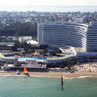
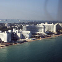
The Fontainebleau Hotel in Miami Beach is the one of the grandest hotels in the city and perhaps the epitome of Miami Modernist Architecture (MiMo). Designed by Morris Lapidus, it is considered the most significant building of his career. Just to the…

http://www.ricdigitalcommons.com/temp/0541.jpg
Looking north across Miami Beach’s Oceanfront show’s the hotels lined up on Collins Ave., the Bal Harbor Islands and Indian Creek, and finally North Miami on the horizon.
http://www.ricdigitalcommons.com/temp/0542.jpg
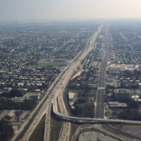
The Fontainebleu Hotel in Miami Beach is the largest and grandest example of Miami Modernist Architecture (MiMo). It was designed by Morris Lapidus, who designed many of the building in Miami Beach, and completed in 1954. In 2008 the Fontainebleu…

http://www.ricdigitalcommons.com/temp/0543.jpg
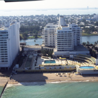
The Eden Roc Renaissance Miami Beach was completed in 1956. Designed by architect Morris Lapidus after completing the Fontainebleu, the Eden Roc’s neighbor. Lapidus used curvy and innovative designs that were widely criticized at the time they were…

http://www.ricdigitalcommons.com/temp/0544.jpg
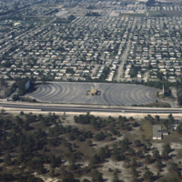
Residential neighborhoods and a drive in theater seen in this aerial photograph of Miami Beach. In the 1970s Miami Beach was largely a retirement community, but emigration from Cuba largely pushed them out in the following decade and effectively…
http://www.ricdigitalcommons.com/temp/0545.jpg
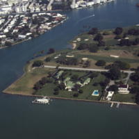
An aerial view of Indian Creek shows private residences around Indian Creek Golf Course. According to satellite photographs none of these structures are still standing, the large house with the green roof seems to have been split into three smaller…

http://www.ricdigitalcommons.com/temp/0546.jpg
The Sunset Islands were the last of the man made islands to be built in Biscayne Bay. During the 1920s a land boom fueled the creation of several man made islands in Biscayne Bay, but at the end of a decade it the boom ended and many realtors went…

http://www.ricdigitalcommons.com/temp/0549.jpg
The Miami Seaquarium is an oceanquarium. It is located in Biscayne Bay. Completed in 1955, the Miami Seaquarium was South Florida’s first Marinelife attraction. The Miami Seaquarium is primarily a tourist destination, famous for it’s opportunities to…

http://www.ricdigitalcommons.com/temp/0550.jpg
This aerial photograph looks south down Interstate 95 in Miami. In the foreground is the Golden Glades Interchange Extended. Interstate 95 is the longest running north-south route in the highway system, running from the Canadian border in Maine to…

http://www.ricdigitalcommons.com/temp/0551.jpg
The Miami skyline as seen from Key Biscayne in 1978. At the right are some of Miami’s most famous skyscrappers, including th SunTrust International Center, completed in 1973, and One Biscayne Tower, a symbol of the city, completed in 1972. At the…

http://www.ricdigitalcommons.com/temp/0552.jpg
Beach scene at Key Biscayne with the Miami skyline on the horizon. Key Biscayne is an island off the coast of Miami that’s principle economy is as a travel destination for tourists. As of 2004, the islands population was recorded at 10,324.

http://www.ricdigitalcommons.com/temp/0552.jpg
Beach scene at Key Biscayne with the Miami skyline on the horizon. Key Biscayne is an island off the coast of Miami that’s principle economy is as a travel destination for tourists. As of 2004, the islands population was recorded at 10,324.

http://www.ricdigitalcommons.com/temp/0553.jpg
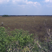
This photograph from the Everglades shows a key element of this unique environment, the sawgrass prairie. Sawgrass thrives in the shallow slow moving water that occupies much of the southern portion of the Florida peninsula. Although not much else…

http://www.ricdigitalcommons.com/temp/0554.jpg
This aerial photograph shows a South Beach that is virtually unrecognizable. Much of the area since this 1978 photograph has been redeveloped with high rise resorts.

http://www.ricdigitalcommons.com/temp/0555.jpg
The Everglades is a popular destination for campers and those with mobile homes. This unidentified Everglades campground was photographed in 1978 and shows a different side of Miami’s tourism industry.

http://www.ricdigitalcommons.com/temp/0556.jpg
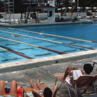
The pool at the university of Miami, Croal Gables campus. The campus is located just south of the city of Miami and was chartered in 1925. This photograph dates from the late 1970s.

http://www.ricdigitalcommons.com/temp/0557.jpg
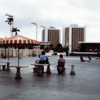
The University of Miami main campus is Coral Gables, just south of the city of Miami. This photograph was taken in 1978 and looks south across the food court, with resident halls on the horizon. The school was chartered in 1925 and currently enrolls…

http://www.ricdigitalcommons.com/temp/0558.jpg
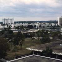
The University of Miami Coral Gables campus, just south of Miami. This landscape view shows the University Communications building on the left and freshman housing on the right.

http://www.ricdigitalcommons.com/temp/0560.jpg
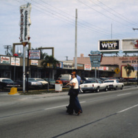
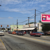
This photograph shows Cuban influence in Miami, specifically here on SW 8th St., part of Little Havana. The nickname comes from the large Cuban population from the 1970s through the 1990s following an influx of Cuban refugee’s and the creation of a…

http://www.ricdigitalcommons.com/temp/0561.jpg
This photograph shows Cuban influence in Miami, specifically here on SW 8th St., part of Little Havana. The nickname comes from the large Cuban population concentrated in the area from the 1970s through the 1990s. The influx of Cubans in the area,…

http://www.ricdigitalcommons.com/temp/0562.jpg
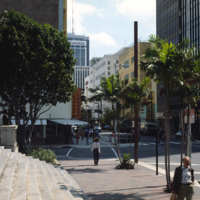
An east facing view down East Flagler St. in Downtown Miami. The street is named for nineteenth century railroad magnate Henry Flagler, and it runs west across town to the Florida Turnpike. This photograph show’s two buildings that have become…

http://www.ricdigitalcommons.com/temp/0563.jpg
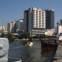
An image taken from the Miami River Walk looking northeat shows One Biscayne Tower as the tallest building in the city, which it was until 1984. It has since been eclipsed by modern building standards but remains a symbol of the city. The building…
Output Formats

atom, dcmes-xml, json, omeka-xml, rss2