Browse Items (1954 total)

http://www.ricdigitalcommons.com/temp/0587.jpg
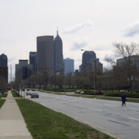
This east facing view down W New York St. shows the Indianapolis’ skyline rising up from the flat midwestern landscape. The state’s two tallest buildings, the Chase Tower and the One America Tower are pictured in the center.

http://www.ricdigitalcommons.com/temp/0586.jpg
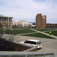
This photograph shows the integration of Indiana University-Purdue University Indianapolis campus with the University Place Hotel in downtown Indianapolis. Cavanaugh Hall, at frame left, is home of Indiana University’s School of Liberal Arts. Between…

http://www.ricdigitalcommons.com/temp/0585.jpg
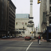
The Soldiers’ and Sailors’ monument was designed by Bruno Schmitz, a German architect, for the city of Indianapolis. The building houses a basement Civil War Museum. There is an observation deck at the top that can be reached by climbing 330 stairs,…

http://www.ricdigitalcommons.com/temp/0584.jpg
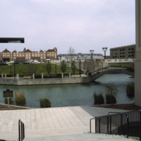
Indianapolis’ White River State Park was built around the site of the Central Canal, a failed canal venture from the early nineteenth century. Since the restoration in the 1980s, the park has become the cultural center of the city and is considered…

http://www.ricdigitalcommons.com/temp/0583.jpg
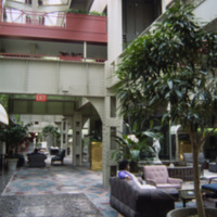
Interior photograph of the Crowne Plaza Hotel at Indianapolis Union Station. The hotel is located in the train shed which was completed in 1915. Following World War II the station saw rapidly declining numbers in passanger service fell increasing to…

http://www.ricdigitalcommons.com/temp/0582.jpg
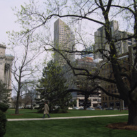
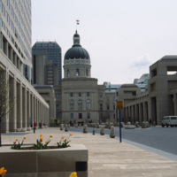
Photographed from the lawn of the Indian State Capitol is the One America Building, the state’s tallest building from 1982 to 1990 when it was surpassed by the Chase Tower. At the left of the photograph is an example of the Neoclassical facade of the…

http://www.ricdigitalcommons.com/temp/0581.jpg
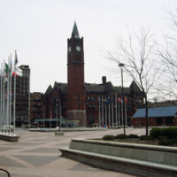
Thomas Rodd’s design of Indianapolis Union Station shows influence of noted architect Henry Hobson Richardson. Also shown here is the Pan American Plaza, built in 1987 to commemorate the Pan American Games held in town. The Union Station still serves…

http://www.ricdigitalcommons.com/temp/0580.jpg
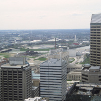
This photograph is believed to be taken from the Chase Tower. Completed in 1990, the Chase Tower (at the time known as the Bank One Tower), at 830 feet, surpassed the One America Tower (pictured, left) as the tallest building in the state. The One…

http://www.ricdigitalcommons.com/temp/0579.jpg
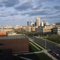
The Indianapolis skyline as seen from Indiana University - Purdue University Indianapolis. The campus serves both universities as an urban campus in Indianapolis. This photo was likely taken from University Place Hotel and shows the IUPUI conference…

http://www.ricdigitalcommons.com/temp/0578.jpg
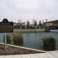
This photograph shows the site of the Central Canal, a proposed 296 mile canal that was to connect Peru to Evansville where it would then meet the Ohio River.The canal was aborted after the state fell into bankruptcy in 1939. This 1993 photograph…

http://www.ricdigitalcommons.com/temp/0577.jpg
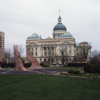
Viewed from the south side, this photograph of Indiana’s State House shows the Italian Renaissance style dome and Neoclassical facade that makes this building one of the finest example of Neoclassical architecture in the state. The building was…

http://www.ricdigitalcommons.com/temp/0576.jpg
The Indiana State House is the fourth structure to house the Indiana government, and has been the current State House since 1887, a year before the buildings formal completion. Designed by Edwin May in 1878, the building utilizes an extended Greek…

http://www.ricdigitalcommons.com/temp/0575.jpg
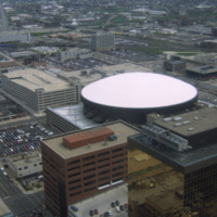
This is an aerial shot of Market Square Arena in Indianapolis, Indiana in the early 1990s. The arena was completed in 1974, closed in 1999, and demolished in 2001. It was Indiana's primary concert venue until its demolition, hosting acts such as…

http://www.ricdigitalcommons.com/temp/0574.jpg
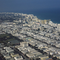
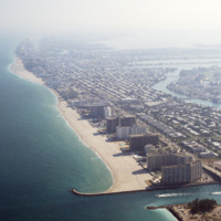
This aerial view shows most of Miami Beach’s South Beach neighborhood, including the famous Collins Avenue hotels. Also visible is the Miami Beach Golf Club, the Miami Beach Convention Center and many of the apartment style residents in South Beach.…

http://www.ricdigitalcommons.com/temp/0573.jpg
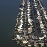
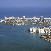
Biscayne Point in Miami Beach is a residential neighborhood made up of three man made islands in Biscayne Bay. The Biscayne Point islands are a part of the North Beach, which is the are north of 63rd Ave and Collins. This aerial photograph looks down…

http://www.ricdigitalcommons.com/temp/0571.jpg
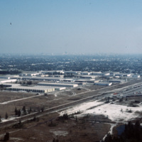
This industrial park in Miami is likely located on the western outskirts of town, where most of Miami’s warehouses and stone quarrying industries are located, extending into neighboring suburbs Doral and Hialeah.

http://www.ricdigitalcommons.com/temp/0570.jpg
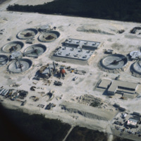
The South District Wastewater Treatment Plant is located just south of Miami. This aerial photograph was taken in 1978 shows the plant in its early stages of construction. Today, plans are underway to reclaim the water that comes out of the plant in…

http://www.ricdigitalcommons.com/temp/0569.jpg
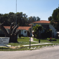
Virginia Gardens is a Village in Dade County that broke away from neighboring town Miami Springs in 1947 after a disagreement over a ban on horses. This 1978 photograph shows the town hall and community center of Virginia Gardens. The village takes…

http://www.ricdigitalcommons.com/temp/0568.jpg
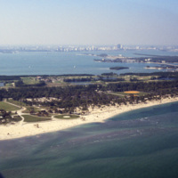
This west facing aerial photograph shows Key Biscayne and, on the horizon, Downtown Miami. Seen here on Key Biscayne is Crandon Park and Crandon Park Golf Course. Crandon Beach was formally a zoo, but is now a park where creatures like turtles,…

http://www.ricdigitalcommons.com/temp/0567.jpg
During the 1960s and 1970s large numbers of Cuban immigrants moved into Miami, many of whom settled in a neighborhood of Miami that came to be known as Little Havana. This photograph from Downtown Miami is Smolski’s illustration of the Cuban…

http://www.ricdigitalcommons.com/temp/0566.jpg
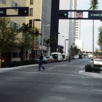
This street scene photograph was taken at the intersection of Miami Ave. and Flagler St. Smolski points out in his notes that he was interested here in the traffic light design, which is unique to the city, and are still in use today.

http://www.ricdigitalcommons.com/temp/0565.jpg
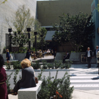
Chet Smolski photographed this as an example of a vest pocket park in Miami. Also known as mini parks, or parketts, these small urban parks are placed on vacant lots between buildings are accessible to the general public.

http://www.ricdigitalcommons.com/temp/0564.jpg
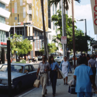
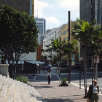
This photograph is taken at the intersection of Flagler St. and NE 1st Ave. Downtown Miami is both an urban residential neighborhood and the central business district. This specific neighborhood is known as the Jewelry District, so named for it’s…

http://www.ricdigitalcommons.com/temp/0563.jpg
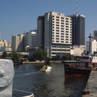
An image taken from the Miami River Walk looking northeat shows One Biscayne Tower as the tallest building in the city, which it was until 1984. It has since been eclipsed by modern building standards but remains a symbol of the city. The building…

http://www.ricdigitalcommons.com/temp/0562.jpg
An east facing view down East Flagler St. in Downtown Miami. The street is named for nineteenth century railroad magnate Henry Flagler, and it runs west across town to the Florida Turnpike. This photograph show’s two buildings that have become…

http://www.ricdigitalcommons.com/temp/0561.jpg
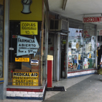
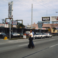
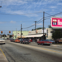
This photograph shows Cuban influence in Miami, specifically here on SW 8th St., part of Little Havana. The nickname comes from the large Cuban population concentrated in the area from the 1970s through the 1990s. The influx of Cubans in the area,…

http://www.ricdigitalcommons.com/temp/0560.jpg
This photograph shows Cuban influence in Miami, specifically here on SW 8th St., part of Little Havana. The nickname comes from the large Cuban population from the 1970s through the 1990s following an influx of Cuban refugee’s and the creation of a…

http://www.ricdigitalcommons.com/temp/0558.jpg
The University of Miami Coral Gables campus, just south of Miami. This landscape view shows the University Communications building on the left and freshman housing on the right.

http://www.ricdigitalcommons.com/temp/0557.jpg
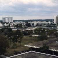
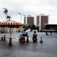
The University of Miami main campus is Coral Gables, just south of the city of Miami. This photograph was taken in 1978 and looks south across the food court, with resident halls on the horizon. The school was chartered in 1925 and currently enrolls…

http://www.ricdigitalcommons.com/temp/0556.jpg
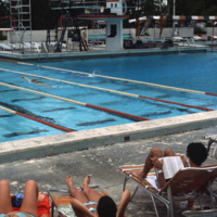
The pool at the university of Miami, Croal Gables campus. The campus is located just south of the city of Miami and was chartered in 1925. This photograph dates from the late 1970s.

http://www.ricdigitalcommons.com/temp/0555.jpg
The Everglades is a popular destination for campers and those with mobile homes. This unidentified Everglades campground was photographed in 1978 and shows a different side of Miami’s tourism industry.

http://www.ricdigitalcommons.com/temp/0554.jpg
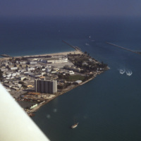
This aerial photograph shows a South Beach that is virtually unrecognizable. Much of the area since this 1978 photograph has been redeveloped with high rise resorts.

http://www.ricdigitalcommons.com/temp/0553.jpg
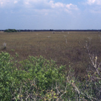
This photograph from the Everglades shows a key element of this unique environment, the sawgrass prairie. Sawgrass thrives in the shallow slow moving water that occupies much of the southern portion of the Florida peninsula. Although not much else…

http://www.ricdigitalcommons.com/temp/0552.jpg
Beach scene at Key Biscayne with the Miami skyline on the horizon. Key Biscayne is an island off the coast of Miami that’s principle economy is as a travel destination for tourists. As of 2004, the islands population was recorded at 10,324.

http://www.ricdigitalcommons.com/temp/0552.jpg
Beach scene at Key Biscayne with the Miami skyline on the horizon. Key Biscayne is an island off the coast of Miami that’s principle economy is as a travel destination for tourists. As of 2004, the islands population was recorded at 10,324.

http://www.ricdigitalcommons.com/temp/0551.jpg
The Miami skyline as seen from Key Biscayne in 1978. At the right are some of Miami’s most famous skyscrappers, including th SunTrust International Center, completed in 1973, and One Biscayne Tower, a symbol of the city, completed in 1972. At the…

http://www.ricdigitalcommons.com/temp/0550.jpg
This aerial photograph looks south down Interstate 95 in Miami. In the foreground is the Golden Glades Interchange Extended. Interstate 95 is the longest running north-south route in the highway system, running from the Canadian border in Maine to…

http://www.ricdigitalcommons.com/temp/0549.jpg
The Miami Seaquarium is an oceanquarium. It is located in Biscayne Bay. Completed in 1955, the Miami Seaquarium was South Florida’s first Marinelife attraction. The Miami Seaquarium is primarily a tourist destination, famous for it’s opportunities to…

http://www.ricdigitalcommons.com/temp/0546.jpg
The Sunset Islands were the last of the man made islands to be built in Biscayne Bay. During the 1920s a land boom fueled the creation of several man made islands in Biscayne Bay, but at the end of a decade it the boom ended and many realtors went…

http://www.ricdigitalcommons.com/temp/0545.jpg
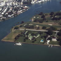
An aerial view of Indian Creek shows private residences around Indian Creek Golf Course. According to satellite photographs none of these structures are still standing, the large house with the green roof seems to have been split into three smaller…

http://www.ricdigitalcommons.com/temp/0544.jpg
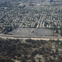
Residential neighborhoods and a drive in theater seen in this aerial photograph of Miami Beach. In the 1970s Miami Beach was largely a retirement community, but emigration from Cuba largely pushed them out in the following decade and effectively…
http://www.ricdigitalcommons.com/temp/0543.jpg
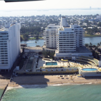
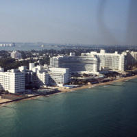
The Eden Roc Renaissance Miami Beach was completed in 1956. Designed by architect Morris Lapidus after completing the Fontainebleu, the Eden Roc’s neighbor. Lapidus used curvy and innovative designs that were widely criticized at the time they were…

http://www.ricdigitalcommons.com/temp/0542.jpg
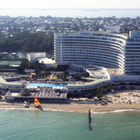
The Fontainebleu Hotel in Miami Beach is the largest and grandest example of Miami Modernist Architecture (MiMo). It was designed by Morris Lapidus, who designed many of the building in Miami Beach, and completed in 1954. In 2008 the Fontainebleu…

http://www.ricdigitalcommons.com/temp/0541.jpg
Looking north across Miami Beach’s Oceanfront show’s the hotels lined up on Collins Ave., the Bal Harbor Islands and Indian Creek, and finally North Miami on the horizon.
http://www.ricdigitalcommons.com/temp/0540.jpg
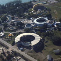
The Fontainebleau Hotel in Miami Beach is the one of the grandest hotels in the city and perhaps the epitome of Miami Modernist Architecture (MiMo). Designed by Morris Lapidus, it is considered the most significant building of his career. Just to the…
http://www.ricdigitalcommons.com/temp/0539.jpg
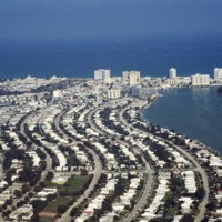
The Versailles Hotel Condo was built in 1940 in a style between Miami Beach’s Art Deco and Modernist style. Behind the condo is the Jamie Tuttle Causeway, which connects the beach with Midtown Miami.

http://www.ricdigitalcommons.com/temp/0538.jpg
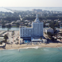
At the center of the aerial photograph is the Carillon Hotel, a wonderful example of the Miami Modernist Architectural (MiMo) style designed by Norman Giller. First opened in 1957, it has since been repurchased and modified. The current owners and…

http://www.ricdigitalcommons.com/temp/0537.jpg
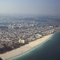
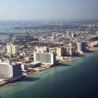
Looking south, this aerial photograph show’s Miami Beach’s Oceanfront in the late 1970’s. Clearly visible is the string of hotels in the style now known as Miami Modernist Architecture (MiMo) along Collins Ave. In the late 2000’s preservationists…

http://www.ricdigitalcommons.com/temp/0536.jpg
An east facing aerial photograph shows Miami Beach’s Oceanfront and Bal Harbor Islands in the late 1970’s. In the 1970’s Miami Beach’s tourism industry saw declines. Over the next decade, hundreds of Cuban refugee’s would move into the area which in…

http://www.ricdigitalcommons.com/temp/0535.jpg
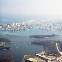
This southeast facing photograph looks across Bal Harbor toward Miami Beach’s Oceanfront. Visible at the bottom of the frame is construction of Florida International University’s Biscayne Bay Campus.
Output Formats

atom, dcmes-xml, json, omeka-xml, rss2