Browse Items (1954 total)

http://www.ricdigitalcommons.com/temp/0724.jpg
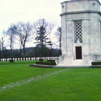
Flanders Field was the site of intense fighting throughout the First World War. Flanders Field, famous for the poem that bears it’s name, is the only American Cemetery in Belgium, containing mostly the graves of those who fell in final days of war in…

http://www.ricdigitalcommons.com/temp/0721.jpg
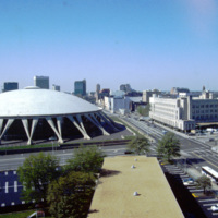
When it was opened in 1971, the Norfolk Scope, a multipurpose arena, was the second largest complex in Virginia after the Pentagon. The Scope also has the world’s largest concrete dome. Designed by Italian architect Pier Luigi Nervi, it was modeled…

http://www.ricdigitalcommons.com/temp/0720.jpg
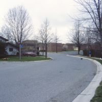
Columbia was creator James Rouse’s greatest accomplishment, and an experiment with not just a planned community, but a planned city. The city was ‘opened’ in 1967. It is a city made of ten self contained villages. This 1983 photograph shows Bryant…

http://www.ricdigitalcommons.com/temp/0717.jpg
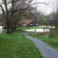
Columbia is a planned community made of ten individual villages. The community makes use of walkways to connect homes and parks, shopping centers, but also has a regular street system for motor vehicles. This pool, part of 23 outdoor pools in…

http://www.ricdigitalcommons.com/temp/0713.jpg
A street view of Burlington’s Church Street Marketplace, a four block pedestrian open air mall. It was established in 1972 as the Burlington Square Mall.

http://www.ricdigitalcommons.com/temp/0712.jpg
Looking north on Church Street, the Masonic Temple, designed by Wilson Brothers & Company, towers over the Burlington Square Mall, now known as the Church Street Marketplace. It is a pedestrian mall that occupies four blocks in Burlington opened…

http://www.ricdigitalcommons.com/temp/0711.jpg
The Burlington Square Mall, now known as the Church Street Marketplace, is the center of town in Burlington, Vermont. It is a four block pedestrian mall, and a cultural and commercial hub of the city.

http://www.ricdigitalcommons.com/temp/0710.jpg
The Burlington Square Mall, now known as the Church Street Marketplace, is the center of town in Burlington, Vermont. It is a four block pedestrian mall, and a cultural and economic hub of the city.

http://www.ricdigitalcommons.com/temp/0709.jpg
Burlington Square Mall, now known as Church Street Marketplace, is photographed here in 1983. Built in 1972, it is a pedestrian mall in the heart of downtown Burlington. The Church Street Marketplace hosts yearly art festivals, street performers and…

http://www.ricdigitalcommons.com/temp/0708.jpg
Constructed in 1972, the Burlington Square mall is a four-block pedestrian mall in Burlington, Vermont.

http://www.ricdigitalcommons.com/temp/0707.jpg
The Church Street Marketplace, formerly known as the Burlington Square Mall, is a four-block pedestrian mall in the heart of Burlington, VT. This 1983 photograph shows Woolworth’s and looks down Church St. The Woolworth’s store has been replaced by…

http://www.ricdigitalcommons.com/temp/0706.jpg
The US Geological Survey building in Reston was specially designed for the agencies purposes and opened in 1973. Previously headquarters had been in Washington, D.C. The agency was established in 1879 after a report from the National Academy of…

http://www.ricdigitalcommons.com/temp/0705.jpg
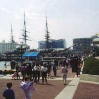
The USS Constellation in Baltimore’s Inner Harbor. It is the last surviving Civil War era warship, and the last sail-only warship designed by the Navy. The Inner Harbor is a tourist friendly, center of culture in Baltimore. It has been revived since…

http://www.ricdigitalcommons.com/temp/0701.jpg
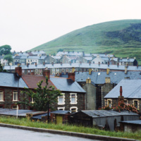
Senghenydd was a rural community until it was industrialized in the 19th century after coal was discovered in the hills. It is located in Aber Valley. This 1980 photograph shows dense housing and the surrounding hill side. The coal mines have since…

http://www.ricdigitalcommons.com/temp/0700.jpg
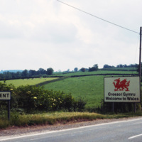
This 1980 photograph looks into Gwent from the Wales - England border. In 1974 Gwent was made a local government through the Local Government Act of 1972. It was abolished in 1996 under The Local Government Act 1994, which reconstructed Wales into…

http://www.ricdigitalcommons.com/temp/0699.jpg
This photograph shows a problem common in many new towns built in the early the twentieth century. As expendable income increased, planned communities modeled on Garden Cities were not able to accomodate either the amount or size of automobiles…

http://www.ricdigitalcommons.com/temp/0698.jpg
Greenbelt is a planned community in Maryland, created as part of the New Deal during the Roosevelt administration. This photograph shows a well cared for home in Greenbelt, which was built as an American Garden City. Garden Cities, the brainchild of…

http://www.ricdigitalcommons.com/temp/0697.jpg
Greenbelt was built during the Roosevelt Administration at the tail end of the Great Depression. This photograph shows Greenbelt in 1970 and the walkways are deteriorating and walls are covered in graffiti. Greenbelt was a new town built and…

http://www.ricdigitalcommons.com/temp/0695.jpg
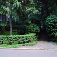
On this slide Smolski notes “Radburn Plan separated streets & pedestrians, children don’t play in streets?” Radburn, a planned community, makes extensive provisions for walkways and public lands that are separate from motor ways. In this context,…

http://www.ricdigitalcommons.com/temp/0687.jpg
A planned community in Fair Lawn, New Jersey, Radburn has a system of walkways to encourage pedestrian traffic. This 1979 photograph shows walkways in use on a rainy afternoon. The fronts of homes in Radburn face the walkways, while the backs are on…

http://www.ricdigitalcommons.com/temp/0693.jpg
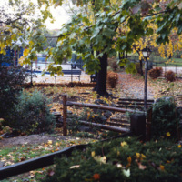
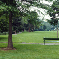
Radburn, a planned community inspired by England’s Garden Cities, emphasized common areas, like this walkway and park, and allocated a minimal amount of land to individual homes. While walkways may have had some environmental impact by encouraging…

http://www.ricdigitalcommons.com/temp/0692.jpg
Drawing influence from England’s Garden Cities, the planners of Radburn separated streets for motor vehicles from pedestrian routes. To encourage pedestrian traffic, and to create harmony between residents and nature, the rear of the houses face the…

http://www.ricdigitalcommons.com/temp/0691.jpg
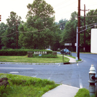
Radburn, a planned community that was founded in 1929, was based on England’s Garden Cities. This photograph was taken on Howard Ave, named for Sir Ebeneezer Howard, whose 1898 publication Garden Cities of To-morrow influenced urban planners to…

http://www.ricdigitalcommons.com/temp/0690.jpg
The planners of Radburn, influenced by England’s Garden Cities, intended pedestrian walkways to be the main method of transportation. This is illustrated in this 1970 photograph showing the front of a home in Radburn facing one of the walkways. The…

http://www.ricdigitalcommons.com/temp/0689.jpg
The entrance to one of Radburn’s walkways is shown in this 1970 photograph. The use of walkway’s separates pedestrian traffic from motorized traffic, and has had energy saving consequences, encouraging residents to walk for local travel rather than…

http://www.ricdigitalcommons.com/temp/0684.jpg
Radburn is a unique planned community that separates motorized transportation from pedestrian traffic. In this 1979 photograph Smolski shows a section of the pedestrian road that passes a swimming pool. Radburn was influenced by England’s Garden…

http://www.ricdigitalcommons.com/temp/0683.jpg
Radburn, a planned community in New Jersey, has over 23 acres of parks within it’s boundaries. The planners felt that with this much open space, residents wouldn’t need large yards, and therefore the homes are very close together, and relatively…

http://www.ricdigitalcommons.com/temp/0682.jpg
Radburn is a planned community founded in 1929. It was designed to separate traffic by mode, utilizing a pedestrian path system that does not cross any major road. Radburn has 23 acres of interior parks, including this hardball field, one of three…

http://www.ricdigitalcommons.com/temp/0681.jpg
Radburn is a planned community in New Jersey that was influenced by England’s Garden Cities. It was founded in 1929. Ironically it was billed as, “a town for the motor age,” but modern vehicles, and families owning multiple vehicles were not…

http://www.ricdigitalcommons.com/temp/0625.jpg
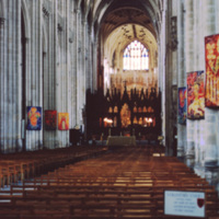
The nave of Winchester Cathedral is the longest of the medieval cathedrals in England. The nave was remodeled in 1394, and the original Norman style was modified as the building evolved into that of the gothic and Romanesque styles.

http://www.ricdigitalcommons.com/temp/0624.jpg
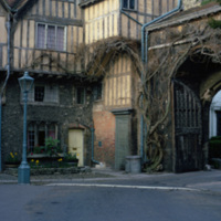
The Porter’s Lodge and Cheyney’s court at Winchester Cathedral, both 15th century constructions, are wonderful examples of half-timber architecture. Cheyney Court was the home of the Bishop’s court in the medieval days. Presently it is the home for…

http://www.ricdigitalcommons.com/temp/0623.jpg
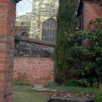
The eastern end of Winchester Cathedral photographed from a garden off of Colebrook St. The Winchester Cathedral has the longest nave of all the medieval cathedrals in England. This view show’s the cathedral’s gothic style architecture. While the…

http://www.ricdigitalcommons.com/temp/0622.jpg
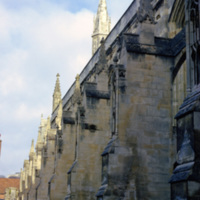
Winchester Cathedral is one of the largest cathedrals in England. This image shows the massive buttresses that support this stone cathedral. Winchester Cathedral, known for being the longest of the medieval cathedrals in Britian, is also a popular…

http://www.ricdigitalcommons.com/temp/0618.jpg
Letchworth was one of the first of England’s “new towns,” and Sir Ebeneezer Howard’s first Garden City. While living in the United States, Howard was influenced by the poet Walt Whitman, among others, to tackle the problems of urban life. His idea…

http://www.ricdigitalcommons.com/temp/0617.jpg
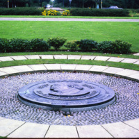
This memorial to Sir Ebeneezer Howard sits within Welwyn Garden City, founded in 1920. Howard’s 1898 publication, Garden Cities of To-morrow, lead to the development of garden cities in which people live harmoniously with nature. Welwyn Garden City…

http://www.ricdigitalcommons.com/temp/0615.jpg
This image shows low-income housing in Kirkby, a town in the Metropolitan county Merseyside. This slide is labeled as ‘slum housing’. Kirkby, which was once largely farmland, experienced massive growth following the destruction in Liverpool during…

http://www.ricdigitalcommons.com/temp/0613.jpg
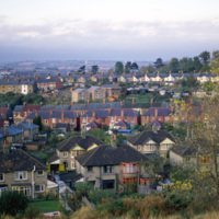
This photograph shows the town of Swindon in Wiltshire county. Since being named an Expander Town in 1952, Swindon has experienced significant growth, and the density of the residential neighborhoods is illustrated here. Smolski acknowledges this,…

http://www.ricdigitalcommons.com/temp/0612.jpg
This bronze statue, entitled “Joyride” was made by Franta Belsky, who moved to England from Czechloslavakia in 1938. The modern statue, a mother playfully carrying her child, was unveiled in 1958 in the Stevenage Town Square. Stevenage is one of…

http://www.ricdigitalcommons.com/temp/0609.jpg
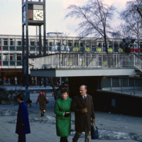
Town center in Stevenage photographed in 1969. Opened in 1959, this business area has at it’s focal point the clock tower, made well known by the 1967 British comedy “Here We Go Round the Mulberry Bush” and dedicated in memorial to Lewis Silkin,…

http://www.ricdigitalcommons.com/temp/0606.jpg
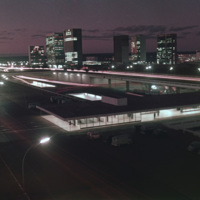
The silhouettes of Oscar Niemeyer’s public architecture create the horizon of this Brasilia sunset photographed by Chet Smolski in 1974. Niemeyer’s distinctly shaped buildings are a symbol of Brasilia. Note the top of the Catedral de Brasilia…

http://www.ricdigitalcommons.com/temp/0605.jpg
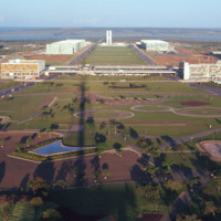
This east facing view of Brasilia was photographed from the TV Tower. This photograph illustrates the layout of the city, which was planned in the shape of a bird. At the center of the photograph is the National Congress Building, with it’s twin…

http://www.ricdigitalcommons.com/temp/0604.jpg
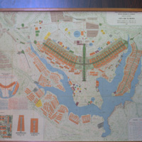
This 1969 map of Brasilia show’s the bird-like shape of the city as designed by Lucia Costa. He was hired by President Juscelino Kubitschek to design the city in what had previously been a waste land with scarce water, animals, plants or people.
http://www.ricdigitalcommons.com/temp/0603.jpg
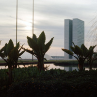
From the Catedral de Brasilia, this photograph looks west toward the National Congress Building. In the foreground is one of the statues, distinctly modernist that line the entry to the Catedral. Both the Catedral de Brasilia and the National…

http://www.ricdigitalcommons.com/temp/0599.jpg
Designed by Oscar Niemeyer, the National Congress Building is a masterpiece among the many of his works in the Brazilian modernist style. This unique layout separates the Senate and the Chamber of Deputies into two separate semi-speherical…

http://www.ricdigitalcommons.com/temp/0596.jpg
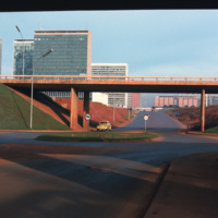
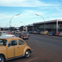
This photograph looks west on Brasilia’s Monumental Axis under the overpasses of the North and South Roads, where the bus and subway terminals are located. Smolski notes on the slide the choice to install roundabouts rather than traffic signals.

http://www.ricdigitalcommons.com/temp/0594.jpg
Brasilia is a planned city that has been both criticized as a failed utopia acclaimed as a masterpiece of modernist architecture. The city is mapped out into sections forming the shape of a bird or airplane. This photograph is taken in one of…

http://www.ricdigitalcommons.com/temp/0592.jpg
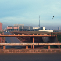
This photograph faces south east across Brasilia’s Monumental Access. The photograph was taken from the TV Tower. Prominent in the left middle ground is the Praça dos Aposentados, a housing complex for retired persons. Just behind that is the…

http://www.ricdigitalcommons.com/temp/0591.jpg
This south facing view of Brasilia looks across the ‘wings’ of the city into the planned residential neighborhoods. The modernist architecture, designed by Oscar Niemeyer, dominates the city. In the foreground of the photograph is a subway station…

http://www.ricdigitalcommons.com/temp/0590.jpg
Looking west down Brasilia’s Monumental Axis Smolski capture’s an array of modernist architecture. Of note, to the left is Correios, the national headquarters for Brazil’s postal service. Prominent in the center right of the photograph is Brasilia’s…

http://www.ricdigitalcommons.com/temp/0588.jpg
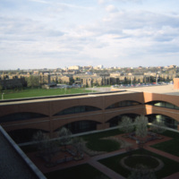
Indiana Avenue Apartments photographed from University Place Hotel at IUPUI campus in Indianapolis. The Indiana Avenue Apartments are public housing managed by the Indianapolis Housing Agency (IHA).
Output Formats

atom, dcmes-xml, json, omeka-xml, rss2