Browse Items (993 total)

  • Collection: Chester Smolski Photographs

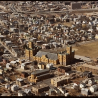
5123.jpg
Ebenezer Knight Dexter bequeathed this large parcel to the Town of Providence upon his death. In the 1840s, this was only a 10-acre tract for militia training. At the turn of the century it was supplanted by the new building seen today. It is by far…

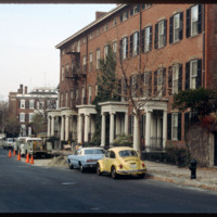
5238.jpg
Athenaeum Row located on Benefit Street, designed and constructed by Tallman & Bucklin in 1845. The row housing was built for Thomas Poyton Ives and provided income for his heirs.

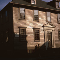
http://www.ricdigitalcommons.com/temp/5460.jpg
  Two stairs in different styles, one behind the other, confirm the back-to-front enlargement of this house, as does the anomaly of two chimneys. Boxed stairs on three short runs with scroll-cut balusters indicate that the older section was in the…

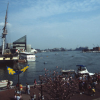
http://www.ricdigitalcommons.com/temp/5497.jpg
  The Baltimore Aquarium, located in the Inner Harbor district of Baltimore, was designed by Massachusetts based firm Peter Chermayeff LLC. The design earned the team an award from Progressive Architecture in 1979. It was conceived and designed in…

http://www.ricdigitalcommons.com/temp/0829.jpg
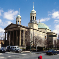
This photograph shows the Basilica of the National Shrine of the Assumption of the Blessed Mary in the 1980s. This image shows the dingy state the building had fallen into by the late 20th century. The building was restored in 2006. The Basilica…

http://www.ricdigitalcommons.com/temp/0532.jpg
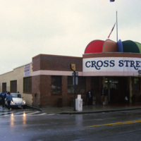
The Cross St. Market on Charles St. is a one of Baltimore’s six surviving marketplaces. This structure was built in 1952 after a fire destroyed the two story Italian revival building that had stood since the turn of the century. The Cross St. Market…

http://www.ricdigitalcommons.com/temp/0530.jpg
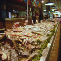
An interior view of the Cross Street Market is located on Federal Hill in Baltimore. This popular market, established in 1846, has gone through a couple incarnations. It’s current structure, completed in 1952, is 30,000-sqaure-feet and hosts about…

http://www.ricdigitalcommons.com/temp/0531.jpg
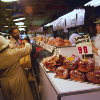
The Cross St. Market is one of Baltimore’s six surviving market places. Located in Federal Hill and close to the Inner Harbor, it is a popular destination for tourists and locals alike. The Cross St. Market sells produce, fresh meat and seafood. The…

http://www.ricdigitalcommons.com/temp/0519.jpg
The Maryland Science Center (MSC) was built in the Inner Harbor in 1976, but grew from the Maryland Academy of Sciences formed in 1797. When the MSC opened in June 1976 it had both interactive exhibits and a state of the art planetarium. Since then…

http://www.ricdigitalcommons.com/temp/0523.jpg
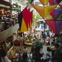
This interior photograph shows the Light Street Pavilion at Harborplace Mall. This Inner Harbor mall was opened in 1980 as the centerpiece of the downtown revival. The mall originally consisted of two two-story pavilions, Pratt St. and Light St.…

http://www.ricdigitalcommons.com/temp/0526.jpg
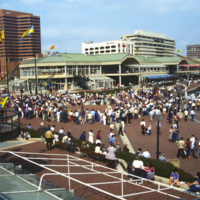
The Inner Harbor Plaza is a tourist friendly area in downtown Baltimore that has been described as a model for post-industrial waterfront redevelopment. This 1985 photograph gives an impression of the amount of draw the museums, shopping and…

http://www.ricdigitalcommons.com/temp/0517.jpg
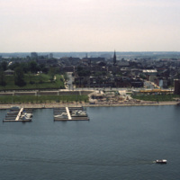
Baltimore’s Inner Harbor has become the cultural center of the city since the waterfront revitalization project launched in the 1970’s. This 1978 photograph show’s the docks before they were developed into the National Aquarium and various commercial…

http://www.ricdigitalcommons.com/temp/0527.jpg
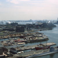
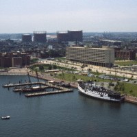
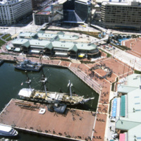
This southwest facing aerial view of Baltimore’s Inner Harbor shows it in a transitional stage. The Maryland Science Center is without it’s later added IMAX theater and lobby. The long tan building on Light St. is Christ Church Harbor apartments, an…

http://www.ricdigitalcommons.com/temp/0828.jpg
Baltimore’s Inner Harbor photographed in the 1980s. This aerial view shows the Light St. and Pratt St. Pavilions as well as the USS Constellation. The pavilions, developed by James W. Rouse, were part of Baltimore’s revitalization project which…

http://www.ricdigitalcommons.com/temp/0513.jpg
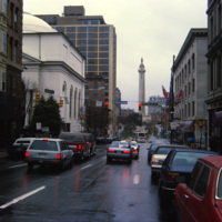
The Washington Monument and Museum at Mount Vernon Place, visible beyond busy Charles Street in Baltimore, Maryland. The monument is 178 feet tall and sits atop a hill in the heart of Baltimore. Architect Robert Mills designed the monument. Completed…

http://www.ricdigitalcommons.com/temp/0522.jpg
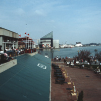
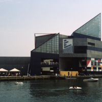
The National Aquarium in Baltimore, Maryland. Photographed from a restaurant across the Inner Harbor, this 1985 view of the National Aquarium is before the historic ships, including the USS Torsk were moored as permanent installations. The building…

http://www.ricdigitalcommons.com/temp/0529.jpg
The National Aquarium in Baltimore photographed in 1985 shows it in it’s original form under the direction of Peter Chermayeff of the Cambridge Seven. Additions to the aquarium were made in 1990 and 2004. The National Aquarium is in Baltimore’s Inner…

http://www.ricdigitalcommons.com/temp/0514.jpg
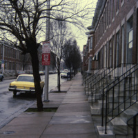
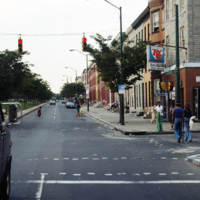
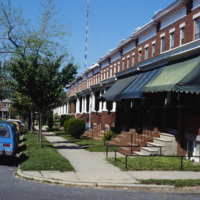
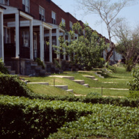
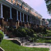
Row houses were popular in urban areas of the East Coast throughout the 19th century. Baltimore’s urban landscape has the best representation of the row house architecture, varying from grand manses to middle-class homes in various architectural…

http://www.ricdigitalcommons.com/temp/0515.jpg
Row houses were popular in urban areas of the East Coast throughout the 19th century. Baltimore’s urban landscape has the best representation of the row house architecture, varying from grand manses to middle-class homes in various architectural…

http://www.ricdigitalcommons.com/temp/0520.jpg
An example of row housing in Baltimore, Maryland. While row houses are popular in many cities, Baltimore in particular has them in the thousands in various architectural styles. This 1978 photograph from the Smolski collection shows an unidentified…

http://www.ricdigitalcommons.com/temp/0521.jpg
Row houses were popular in urban areas of the East Coast throughout the 19th century. Baltimore’s urban landscape has the best representation of the row house architecture, varying from grand manses to middle-class homes in various architectural…

http://www.ricdigitalcommons.com/temp/0524.jpg
Row houses were popular in urban areas of the East Coast throughout the 19th century. Baltimore’s urban landscape has the best representation of the row house architecture, varying from grand manses to middle-class homes in various architectural…

http://www.ricdigitalcommons.com/temp/0518.jpg
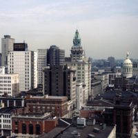
This view of the Baltimore skyline show’s the city in transition during the revitalization process that began around 1970. The 18 story building in the center of the photograph is the Maryland Casualty Company Tower, known locally as the Tower…

http://www.ricdigitalcommons.com/temp/0705.jpg
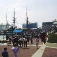
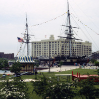
The USS Constellation in Baltimore’s Inner Harbor. It is the last surviving Civil War era warship, and the last sail-only warship designed by the Navy. The Inner Harbor is a tourist friendly, center of culture in Baltimore. It has been revived since…

http://www.ricdigitalcommons.com/temp/0528.jpg
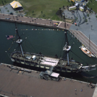
An aerial photograph of the USS Constellation shows it in it’s deteriorating condition prior to it’s 1990’s restoration. The 19th century fighting ship was used in military service through World War II before ending up in Baltimore as a relic.

http://www.ricdigitalcommons.com/temp/0516.jpg
This 1978 photograph shows the USS Constellation at the inner harbor in Baltimore, Maryland. It was moved here in 1968 as part of the city’s revitalization plan. In the 1970’s the Inner Harbor emerged as the cultural center of Baltimore with the USS…

http://www.ricdigitalcommons.com/temp/5181.jpg
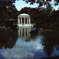
On Roosevelt Lake behind the Casino at Roger Williams Park sits the bandstand (John Hutchins Cady, 1915). According to Jordy, this classical revival structure has an “open, colonnaded Ionic rotunda as the climax of a metal-fenced, masonry platform…

http://www.ricdigitalcommons.com/temp/0926.jpg
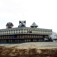
The Bat Yam town hall, or municipality building, is an avant garde gem of 1960s modernist architecture. Located in the town of Bat Yam, just south of Tel Aviv-Jaffa, this building has seen considerable decay until recently when it was re-recognized…

http://www.ricdigitalcommons.com/temp/4929.jpg
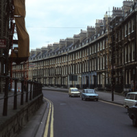
A street of Georgian townhouses in the city of Bath, in Somerset, England. The Hay Hill Baptist Church is on the left.

The layout of the city of Bath was established by John Wood the Elder from 1728 to 1775, where he and then his son, John Wood the…

http://www.ricdigitalcommons.com/temp/5571.jpg
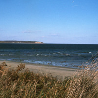
  Block Island beach and shoreline seen from Crescent  Beach near the Block Island Ferry Service landing. On the horizon are the Clayhead cliffs, a rocky area that contains iron-rich clay deposits. (date of photograph has been approximated)
http://www.ricdigitalcommons.com/temp/1234.jpg
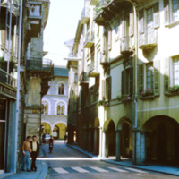
Bellinzona is a city in Switzerland famous for it’s three castles. It’s location at the foot of the Alps made it a strategic point for fortification since the Roman Empire. This photograph shows a street scene in Bellinzona during the late 1960s.

http://www.ricdigitalcommons.com/temp/5226.jpg
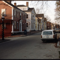
Historic houses on northern Benefit Street. Benefit Street runs north to south of the community’s 18th century center at Market Square. in the late 1950s, many of the houses on this street were about to be torn down but were saved, thanks to the…

http://www.ricdigitalcommons.com/temp/1031.jpg
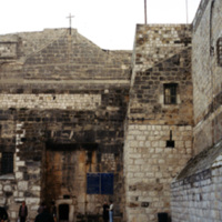
This picture was taken at an angle from Manger Square of the Church of Nativity in Bethlehem, Israel. Since its initial construction in 326 AD, the church has undergone much reconstruction and restoration over the years. Built over the cave that is…

http://www.ricdigitalcommons.com/temp/1011.jpg
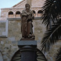
Statue of Saint Hieronymous (Saint Jerome) at the Church of St. Catherine of Alexandria in Bethlehem. The statue is modern, made in the mid twentieth century. The church itself was completed in 1882, built on the ruins of the crusader church…

http://www.ricdigitalcommons.com/temp/5204.jpg
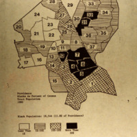
Blacks as a percent of he census tract population in Providence in 1980.

http://www.ricdigitalcommons.com/temp/5415.jpg
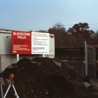
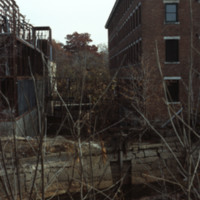
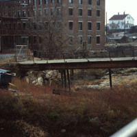
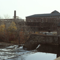
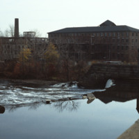
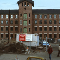
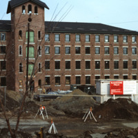
  The 1840s Blackstone Falls mill complex was turned into 133 units of housing for the elderly. The mill was located on a difficult site: two of its buildings were on an island in the Blackstone River, connected by a series of bridges across a canal.…
http://www.ricdigitalcommons.com/temp/5416.jpg
  The 1840s Blackstone Falls mill complex was turned into 133 units of housing for the elderly. The mill was located on a difficult site: two of its buildings were on an island in the Blackstone River, connected by a series of bridges across a canal.…
http://www.ricdigitalcommons.com/temp/5417.jpg
  The 1840s Blackstone Falls mill complex was turned into 133 units of housing for the elderly. The mill was located on a difficult site: two of its buildings were on an island in the Blackstone River, connected by a series of bridges across a canal.…
http://www.ricdigitalcommons.com/temp/5418.jpg
  The 1840s Blackstone Falls mill complex was turned into 133 units of housing for the elderly. The mill was located on a difficult site: two of its buildings were on an island in the Blackstone River, connected by a series of bridges across a canal.…
http://www.ricdigitalcommons.com/temp/5419.jpg
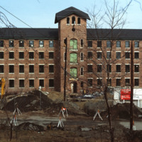
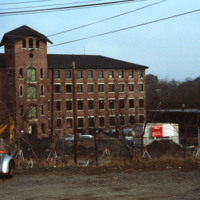
  The 1840s Blackstone Falls mill complex was turned into 133 units of housing for the elderly. The mill was located on a difficult site: two of its buildings were on an island in the Blackstone River, connected by a series of bridges across a canal.…

http://www.ricdigitalcommons.com/temp/5421.jpg
  The 1840s Blackstone Falls mill complex was turned into 133 units of housing for the elderly. The mill was located on a difficult site: two of its buildings were on an island in the Blackstone River, connected by a series of bridges across a canal.…

http://www.ricdigitalcommons.com/temp/5422.jpg
  The 1840s Blackstone Falls mill complex was turned into 133 units of housing for the elderly. The mill was located on a difficult site: two of its buildings were on an island in the Blackstone River, connected by a series of bridges across a canal.…

http://www.ricdigitalcommons.com/temp/5424.jpg
The 1840s Blackstone Falls mill complex was turned into 133 units of housing for the elderly. The mill was located on a difficult site: two of its buildings were on an island in the Blackstone River, connected by a series of bridges across a canal.…

http://www.ricdigitalcommons.com/temp/5425.jpg
  The 1840s Blackstone Falls mill complex was turned into 133 units of housing for the elderly. The mill was located on a difficult site: two of its buildings were on an island in the Blackstone River, connected by a series of bridges across a canal.…

http://www.ricdigitalcommons.com/temp/5434.jpg
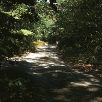
Blackstone Park, located between Angel St. and the grounds of Butler hospital, lies on land donated to the city by Moses Brown Jenkins in the 1860s. It is some of the hilliest land in Providence, and thus unsuitable for residential development. The…

http://www.ricdigitalcommons.com/temp/1314.jpg
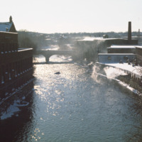
Even before it was officially incorporated as a town in 1867, Woonsocket was home to numerous textile industries because of the water power provided by the Blackstone River. However, the industry ended after the Great Depression and the city had to…

http://www.ricdigitalcommons.com/temp/5433.jpg
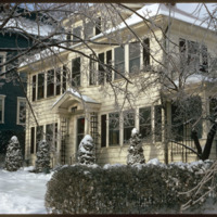
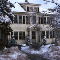
  A single family home in the Blackstone neighborhood on Providence’s East Side, photographed during the winter of 1974. The East Side is the oldest, and most affluent section of Providence, containing some of the states earliest settlements. 

http://www.ricdigitalcommons.com/temp/4933.jpg
A single family home in the Blackstone neighborhood on Providence’s East Side, photographed during the winter of 1974. The East Side is the oldest, and most affluent section of Providence, containing some of the states earliest settlements.

http://www.ricdigitalcommons.com/temp/5579.jpg
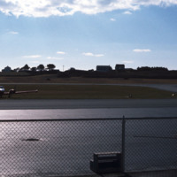
  Block Island State Airport (BID) opened in 1950. It maintains scheduled service to Westerly State Airport, but is primarily used for general aviation. It is mostly used for single engine crafts, providing an alternative to the ferry as a connection…

http://www.ricdigitalcommons.com/temp/5564.jpg
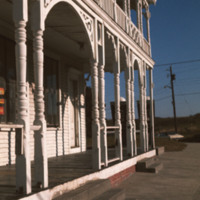
  The Block Island City Drug Store is located in the Old Harbor District of the island. The majority of the buildings and hotels in this district are painted white with cottage style details, reflecting the seaside resort style prominent in the…
Output Formats

atom, dcmes-xml, json, omeka-xml, rss2