Browse Items (657 total)

  • Collection: Baxter Collection of Images of Cape Verde

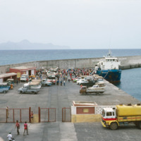
http://www.ricdigitalcommons.com/Baxter_temp/CV-83-018.jpg
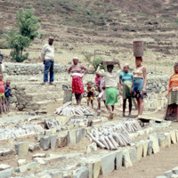
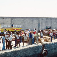
A photograph of "Cais Grande" (Main Dock) at Porto Grande. Porto Grande is the main port for imports and exports in Cape Verde.

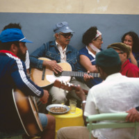
http://www.ricdigitalcommons.com/Baxter_temp/CV-83-014.jpg
"Festinha" at the house of Ti Cesar (Cesar Santos), Ribeirinha, Mindelo. Ti Cesar is well known to everyone in S

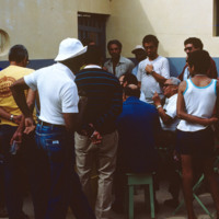
http://www.ricdigitalcommons.com/Baxter_temp/CV-83-016.jpg
"Festinha" at the house of Ti Cesar (Cesar Santos), Ribeirinha, Mindelo. Ti Cesar is well known to everyone in S

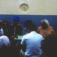
http://www.ricdigitalcommons.com/Baxter_temp/CV-83-017.jpg
"Festinha" at the house of Ti Cesar (Cesar Santos), Ribeirinha, Mindelo. Ti Cesar is well known to everyone in S

http://www.ricdigitalcommons.com/Baxter_temp/CV-81-059.jpg
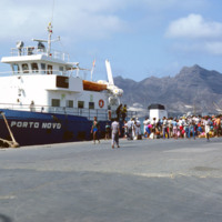
The "Porto Novo," was a ferry that connected São Vicente and Santoa Antão with daily service. The ship has since been retired.

http://www.ricdigitalcommons.com/Baxter_temp/CV-89-034.jpg
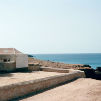
Area around an 18th century fort just on the outskirts of Vila do Maio.

http://www.ricdigitalcommons.com/Baxter_temp/CV-81-131.jpg
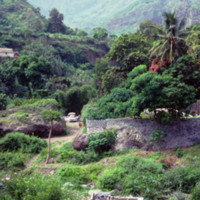
More evidence of the tropical climate this island experiences with lush landscape including palm trees. The deep valleys tin this photograph are dramatically captured here. The people at the bottom of the picture are possibly washing their clothes.

http://www.ricdigitalcommons.com/Baxter_temp/CV-81-366.jpg
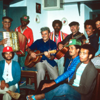
Musicians and friends gather at a "despedida" or farewell party for someone leaving Cape Verde.

http://www.ricdigitalcommons.com/Baxter_temp/CV-88-103.jpg
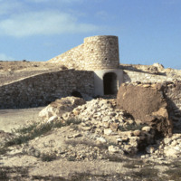
A rural kiln designed by the German geologist Matias Heine who is thought to have lived in Boa Vista during the mid 1980's. The purpose of this kiln is to bake the local "cal" or limestone more efficiently than traditional methods in order to make…

http://www.ricdigitalcommons.com/Baxter_temp/CV-88-104.jpg
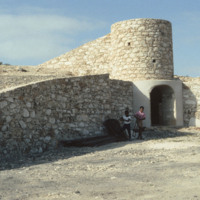
A rural kiln designed by the German geologist Matias Heine who is thought to have lived in Boa Vista during the mid 1980's. The purpose of this kiln is to bake the local "cal" or limestone more efficiently than traditional methods in order to make…

http://www.ricdigitalcommons.com/Baxter_temp/CV-88-105.jpg
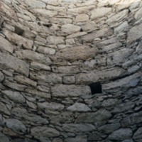
The main shaft of a rural kiln designed by the German geologist Matias Heine who is thought to have lived in Boa Vista during the mid 1980's. The purpose of this kiln is to bake the local "cal" or limestone more efficiently than traditional methods…

http://www.ricdigitalcommons.com/Baxter_temp/CV-88-106.jpg
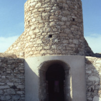
A rural kiln designed by the German geologist Matias Heine who is thought to have lived in Boa Vista during the mid 1980's. The purpose of this kiln is to bake the local "cal" or limestone more efficiently than traditional methods in order to make…

http://www.ricdigitalcommons.com/Baxter_temp/CV-88-107.jpg
A rural kiln designed by the German geologist Matias Heine who is thought to have lived in Boa Vista during the mid 1980's. The purpose of this kiln is to bake the local "cal" or limestone more efficiently than traditional methods in order to make…

http://www.ricdigitalcommons.com/Baxter_temp/CV-85-073.jpg
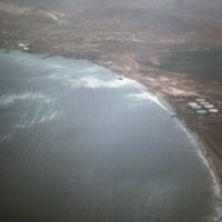
This aerial was taken off of the coast of Mindelo on the Cape Verdean island of S

http://www.ricdigitalcommons.com/Baxter_temp/CV-85-079.jpg
An aerial view of Baia das Gatas on S

http://www.ricdigitalcommons.com/Baxter_temp/CV-89-001.jpg
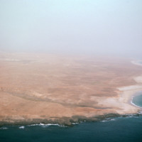
An east facing aerial view of Maio photographed from above Vila do Maio.

http://www.ricdigitalcommons.com/Baxter_temp/CV-89-002.jpg
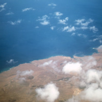
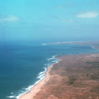
An aerial view of the western coast of Maio. This north facing view shows a beach leading away from Vila do Maio and Calheta on the horizon, center right in this photograph.

http://www.ricdigitalcommons.com/Baxter_temp/CV-81-137.jpg
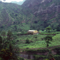
A picture from along the Ribiera do Paùl portraying a house and a terraced agricultural landscape set against a mountainous backdrop. The land is the most fertile in Cape Verde. It is likely a sugarcane farm. Volcanic dust is extracted from this…

http://www.ricdigitalcommons.com/Baxter_temp/CV-83-032.jpg
Inhabitants of Paul lay the framework for the agricultural system seen in the two previous slides. The main economy in this area is agriculture due to the fact that vegetation flourishes even in seasons of drought.

http://www.ricdigitalcommons.com/Baxter_temp/CV-81-186.jpg
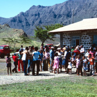
A crowd gathered at the building of the airport in Ribiera Brava. The building looks relatively new and has a corrugated tin roof. The mountains are visible in the background.

http://www.ricdigitalcommons.com/Baxter_temp/CV-81-187.jpg
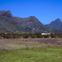
The airport landing strips in Ribiera Brava. The homes built into the mountains are visible in the background. The ribiera remains green even in the dry season. The narrow flat section between the mountains is used as a road as well.

http://www.ricdigitalcommons.com/Baxter_temp/CV-81-104.jpg
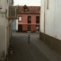
A scene in an alley in Ribeira Grande, known locally as Povoação. It is a town built between the Atlantic Ocean and the tall cliffs of northern Santo Antão. Ribeira Grande is known for it's cobbled streets.

http://www.ricdigitalcommons.com/Baxter_temp/CV-89-029.jpg
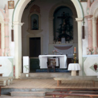
The altar at Nossa Senhora da Luz, a 19th century Baroque style church in Vila do Maio.

http://www.ricdigitalcommons.com/Baxter_temp/CV-81-335.jpg
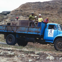
The aluguer that provides service between Nova Sintra and Fajã d'Água. Trucks are used to transport people, goods and livestock between towns.

http://www.ricdigitalcommons.com/Baxter_temp/CV-81-005.jpg
View from the runway at Amilcar Cabral International Airport. Later named for the revolutionary leader of the same name, the airport on Sal was originally built by the Italian government under Benito Mussolini. Following the end of the second World…

http://www.ricdigitalcommons.com/Baxter_temp/CV-81-266.jpg
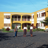
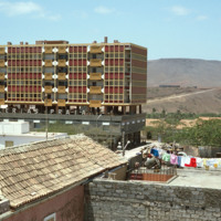
Three unidentified residents stand outside this building, believed to be an apartment complex, but it could also be a resort. São Felipe sits of the western coast of Fogo and is home to the islands sea and air ports. The architecture of the city is…

http://www.ricdigitalcommons.com/Baxter_temp/CV-88-037.jpg
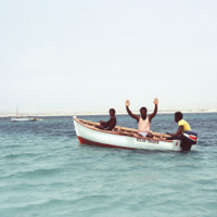
Three men in a small vessel pose for a photograph as they approach the Ilha de Sal Rei, a small islet off the coast of Boa Vista.

http://www.ricdigitalcommons.com/Baxter_temp/CV-88-038.jpg
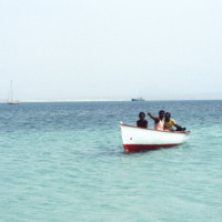
Three men on a journey to Ilha de Sal Rei. Some commercial vessels and small fishing boats can be seen between here and the shore of Boa Vista.

http://www.ricdigitalcommons.com/Baxter_temp/CV-81-072.jpg
Porto Novo is photographed as the ferry, "Porto Novo," approaches en route from Mindelo. For many years the "Porto Novo" was the lifeline between these islands, until it was finally retired.

http://www.ricdigitalcommons.com/Baxter_temp/CV-81-074.jpg
Dock scene at Porto Novo photographed from the ferry "Porto Novo." The ferry is arriving with passengers and cargo from Mindelo and was the lifeline between São Vicente and Santo Antão for many years.

http://www.ricdigitalcommons.com/Baxter_temp/CV-88-119.jpg
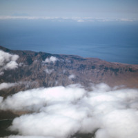
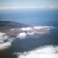
An aerial photograph of a mountainous region approaching the island of Sao Vicente.

http://www.ricdigitalcommons.com/Baxter_temp/CV-83-048.jpg
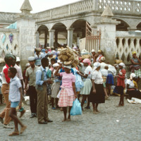
On the island of Santiago, the central market of Assomada is among the largest. The market mainly provides trade between middlemen who seek to sell their products to larger markets. In terms of available products, the market displays a wide…

http://www.ricdigitalcommons.com/Baxter_temp/CV-83-049.jpg
On the island of Santiago, the central market of Assomada is among the largest. The market mainly provides trade between middlemen who seek to sell their products to larger markets. In terms of available products, the market displays a wide…

http://www.ricdigitalcommons.com/Baxter_temp/CV-88-082.jpg
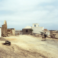
An unidentified person sits atop a donkey on the outskirts of an unidentified village.

http://www.ricdigitalcommons.com/Baxter_temp/CV-89-023.jpg
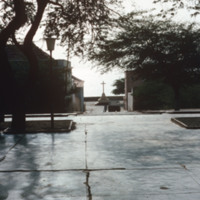
A cross is backlit against the Atlantic Ocean at the Vila do Maio. From this view you can see the village's dramatic rise from the Atlantic Ocean. This photo is taken from the steps of Nossa Senhora da Luz, a 19th century church.

http://www.ricdigitalcommons.com/Baxter_temp/CV-81-031.jpg
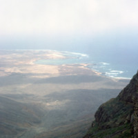
View from the top of Monte Verde to the coast of São Vicente. Mounte Verde is the highest point on São Vicente. This view, looking north/north-east shows Baía das Gatas on the horizon, a bay with a natural barrier that makes it as popular for…

http://www.ricdigitalcommons.com/Baxter_temp/CV-83-038.jpg
The Bank of Cape Verde is located in the capital city of Praia on the island of Santiago. It gained functional independence from the Portuguese Banco Nacional Ultramarino on July 1, 1976. The bank played an instrumental role in financing Cape Verde's…

http://www.ricdigitalcommons.com/Baxter_temp/CV-81-341.jpg
The clear, placid waters of the harbor at Fajã d'Água are uncommon for Brava, an island that is swept by strong northwestern winds. However, this harbor and village are protected by steep mountains. It was once a place where whaling ships would dock.…

http://www.ricdigitalcommons.com/Baxter_temp/CV-88-133.jpg
A typical Sunday at Calhau, a popular weekend vacation spot about 12 miles from Mindelo. Note that black volcanic pumice dominates the landscape.

http://www.ricdigitalcommons.com/Baxter_temp/CV-89-015.jpg
Small fishing vessels are beached nearby Vila do Maio.

http://www.ricdigitalcommons.com/Baxter_temp/CV-89-016.jpg
Small fishing vessels are beached nearby Vila do Maio.

http://www.ricdigitalcommons.com/Baxter_temp/CV-81-269.jpg
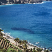
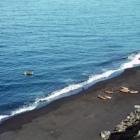
A view from above shows a beach near São Felipe from which a group of fishermen appear to be returning from a days work on the ocean. This photograph is taken from atop on of Fogo's ominous cliffs, carved out by Atlantic breakers. The black sand…

http://www.ricdigitalcommons.com/Baxter_temp/CV-85-004.jpg
Sal Rei is the capital of Boa Vista, home to nearly half of the island's inhabitants. View is of footprints on a beach, near unidentified colonial buildings along a seawall. What may be the wreck of an old submarine or ship is visible to the right of…
http://www.ricdigitalcommons.com/Baxter_temp/CV-89-011.jpg
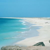
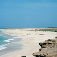
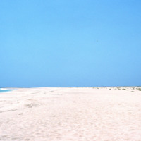
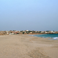
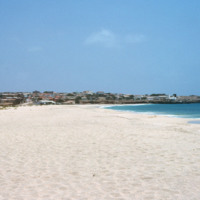
Looking away from Vila do Maio, this view shows the long flat shoreline from a beach near the islands primary settlement.

http://www.ricdigitalcommons.com/Baxter_temp/CV-89-005.jpg
Vila do Maio photographed from a beach northwest of the village. This view shows how this village, built on a small, steep hill, rises dramatically from the shoreline. At the center of the village is a 19th century Baroque church that was completed…

http://www.ricdigitalcommons.com/Baxter_temp/CV-89-006.jpg
Vila do Maio photographed from a beach northwest of the village. This view shows how this village, built on a small, steep hill, rises dramatically from the shoreline. At the center of the village is a 19th century Baroque church that was completed…

http://www.ricdigitalcommons.com/Baxter_temp/CV-83-006.jpg
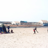
A typical scene of recreation and relaxation at Baia das gatas, a popular weekend resort for both São Vicente residents and tourists alike. It is located about eight miles west of Mindelo, the largest and only city on São Vicente.

http://www.ricdigitalcommons.com/Baxter_temp/CV-88-019.jpg
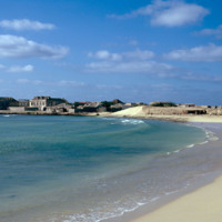
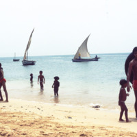
Cape Verdeans on a beach in Sal Rei. Several small boats are seen in the waters close to shore as well as the Port of Sal Rei to the far left.
Output Formats

atom, dcmes-xml, json, omeka-xml, rss2