Browse Items (657 total)

  • Collection: Baxter Collection of Images of Cape Verde

http://www.ricdigitalcommons.com/Baxter_temp/CV-81-038.jpg
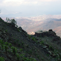
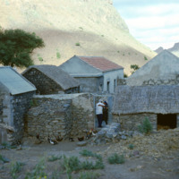
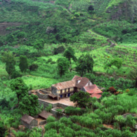
A stone dwelling on the side of Monte Verde, São Vicente's tallest peak, overlooks Mindelo and Porto Grande.

http://www.ricdigitalcommons.com/Baxter_temp/CV-81-342.jpg
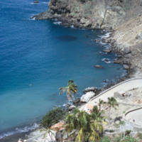
An elevated view of Fajã d'Água shows it's steep shoreline but also the clear, calm waters of it's harbor that made it an ideal place for whaling boats to dock early in the 20th century.

http://www.ricdigitalcommons.com/Baxter_temp/CV-81-149.jpg
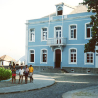
Four children are pictured in the courtyard of a sky blue building. Cape Verdè is filled with sobrado architecture. These buildings commonly feature fine woods and tiles imported from Europe and West Africa. The home features a sloping roof common…

http://www.ricdigitalcommons.com/Baxter_temp/CV-83-005.jpg
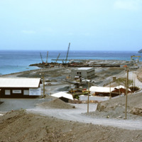
This 1983 photograph shows Funding was provided in the late 1970s to modernize Porto Grande, the largest port in the country. Here expansion is under way. On the horizon, the uninhabited islet, Ílhéu dos Passaros, marks the border between Mindelo Bay…

http://www.ricdigitalcommons.com/Baxter_temp/CV-83-045.jpg
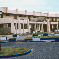
Seen in this slide is the outer facade of the Teacher Training College.

The system provides its teachers with the training necessary to be successful educators. Individuals planning to be primary school teachers are given 2 years of training post…

http://www.ricdigitalcommons.com/Baxter_temp/CV-81-338.jpg
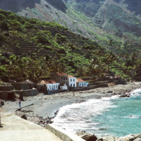
Fajã d'Água photographed from the shoreline shows the green landscape, terraced farming and close proximity of the houses to the water. Because the village lies at the foot of a steep mountain, it is sheltered from the fierce winds that are…

http://www.ricdigitalcommons.com/Baxter_temp/CV-81-336.jpg
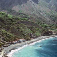
An aerial view of Fajã d'Água, a small village at the foot of a mountain, and also one of the most beautiful bays in Cape Verde. This quiet village was once where whaling boats would anchor.

http://www.ricdigitalcommons.com/Baxter_temp/CV-81-337.jpg
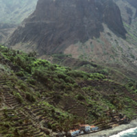
This aerial photograph of Fajã d'Água puts into perspective it's position at the foot of a steep mountain. Because of it's location it is sheltered from the northwest winds, making this little village very green and pleasant.

http://www.ricdigitalcommons.com/Baxter_temp/CV-81-007.jpg
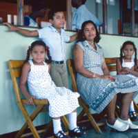
An unidentified family poses for a photograph at Amilcar Cabral International Airport.

http://www.ricdigitalcommons.com/Baxter_temp/CV-81-256.jpg
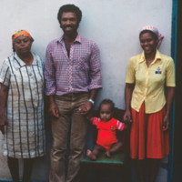
An unidentified family poses for a portrait in Tarrafal.

http://www.ricdigitalcommons.com/Baxter_temp/CV-88-053.jpg
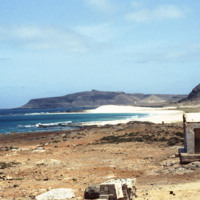
A family spends time near a beach on Boa Vista.

http://www.ricdigitalcommons.com/Baxter_temp/CV-88-095.jpg
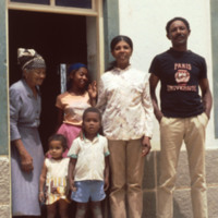
A local Boa Vista family of six get their picture taken by David Baxter.

http://www.ricdigitalcommons.com/Baxter_temp/CV-81-188.jpg
Farm land and crops are divided by stone walls in Ribiera Brava, as seen in the foreground of this photo. The ribiera remains green even in the dry season. The narrow flat section between the mountains is used as a road and homes are also built…

http://www.ricdigitalcommons.com/Baxter_temp/CV-80-210.jpg
A man and woman embrace in the gateway to this farm in São Nicolau's hinterland. This man may be Bill Andrade, a New Bedford resident who reoccurs in many of David Baxter's photographs, always with his "capacete," or large, helmet like hat.

http://www.ricdigitalcommons.com/Baxter_temp/CV-85-052.jpg
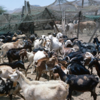
A farm with goats and cows is seen on a journey across the arid interior of Boa Vista on the way to Praia Curralhino. Despite extreme drought conditions, there is a presence of goats, donkeys and bovines. Historically, Boa Vista was well known for…

http://www.ricdigitalcommons.com/Baxter_temp/CV-85-053.jpg
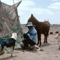
A farmer with his dogs and a donkey as seen on a journey across the interior of Boa Vista on the way to Praia Curralhino. A cow's horns are visible behind the donkey. Despite extreme drought conditions, there is a presence of goats, donkeys and the…

http://www.ricdigitalcommons.com/Baxter_temp/CV-81-138.jpg
A farmstead set in the Ribiera do Paùl. A good aerial view of the home and surrounding fields is provided. Paths between plots are shown. The shot provides a good overview of a sugar cane farm.

http://www.ricdigitalcommons.com/Baxter_temp/CV-80-205.jpg
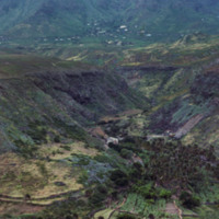
This photograph shows the fertile hinterland of São Nicolau, which is home to many farms and has been able to produce more agriculturally than any of the surrounding islands. In the foreground an empty basket, used to transport goods, generally by…

http://www.ricdigitalcommons.com/Baxter_temp/CV-88-064.jpg
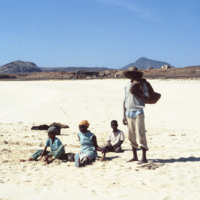
Fisherman and three children sit on a beach in Boa Vista.

http://www.ricdigitalcommons.com/Baxter_temp/CV-88-066.jpg
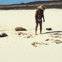
Fisherman evaluates his catch on a beach in Boa Vista.

http://www.ricdigitalcommons.com/Baxter_temp/CV-89-017.jpg
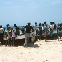
On a beach near Vila do Maio residents from the village crowd around some beached fishing vessels. Maio is a quiet island, sometimes called the "forgotten island," it is rarely visited by tourists and is relatively quiet and flat.

http://www.ricdigitalcommons.com/Baxter_temp/CV-89-060.jpg
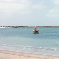
A fishing boat near the shore of Maio. This photo is believed to be taken from somewhere near Calheta.

http://www.ricdigitalcommons.com/Baxter_temp/CV-81-271.jpg
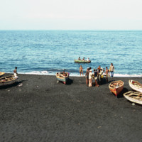
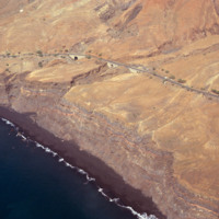
Fishermen and their vessels on the shore of a black sand beach near São Felipe. The beaches are short and quickly give way to ominous cliffs that begin the steep slope of Fogo, the volcano island.
http://www.ricdigitalcommons.com/Baxter_temp/CV-88-068.jpg
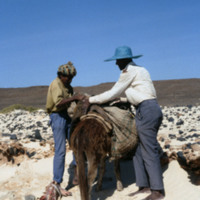
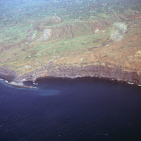
Fishermen load a mule with their catch, among other supplies.

http://www.ricdigitalcommons.com/Baxter_temp/CV-83-012.jpg
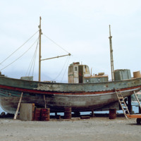
Maintenance of wooden fishing boat in dry dock at Porto Grande.

http://www.ricdigitalcommons.com/Baxter_temp/CV-81-016.jpg
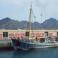
A fishing vessel docked at Porto Grande on the island São Vicente. Allowed to fall into disrepair during the mid-twentieth century, Porto Grande has been since revitalized. A major part of the ports activity revolves around fishing.

http://www.ricdigitalcommons.com/Baxter_temp/CV-81-236.jpg
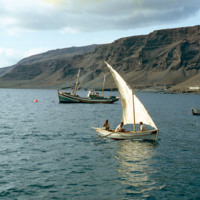
A fishing vessel casts off on Tarrafal Bay in this photo, likely taken in the mid morning. Tarrafal, home to what is perhaps the first tuna vannery in Cape Verde, is a coastal town on São Nicolau. Tarrafal's economy is mostly fueled by it's fishing…

http://www.ricdigitalcommons.com/Baxter_temp/CV-81-237.jpg
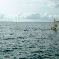
Fishing vessel on Tarrafal Bay. Tarrafal, a coastal town on São Nicolau, is a fishing town with a tuna cannery that is believed to be the first in Cape Verde.

http://www.ricdigitalcommons.com/Baxter_temp/CV-81-286.jpg
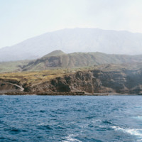
Porto de Vale de Cavaleiros photographed from offshore. On the horizon Pico do Fogo extends into the sky.

http://www.ricdigitalcommons.com/Baxter_temp/CV-81-311.jpg
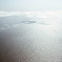
Aerial photograph of the island Fogo and the nearby Ilhéus do Rombo, a group of small islets that have since been declared nature preserves.

http://www.ricdigitalcommons.com/Baxter_temp/CV-81-270.jpg
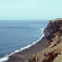
A long look across Fogo's ominous cliffs that hang over the islands black sand beaches. In the foreground some local fishing vessels have been dragged ashore, or perhaps are waiting to be launched (from the shadows in the picture this picture seems…

http://www.ricdigitalcommons.com/Baxter_temp/CV-81-263.jpg
An aerial view of São Felipe and Porto de Vale de Cavaleiros. The port is north of the the town center of São Felipe. Notice the sea protection wall that juts out into the ocean, designed to protect ships from the rough waves and strong winds that…

http://www.ricdigitalcommons.com/Baxter_temp/CV-81-261.jpg
An aerial view of Fogo, a an almost perfectly round island containing one large, active volcano. Pico do Fogo, the volcano itself, is the highest point in Cape Verde. The last erruption to date (2012) was in 1995. This photograph was made in 1981.
http://www.ricdigitalcommons.com/Baxter_temp/CV-81-262.jpg
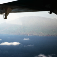
An aerial view of Fogo shows vegetation and settlements on the slope of the volcano. This photograph was made in 1981. In 1995 an eruption caused all the residents of the island to be evacuated as many the homes were destroyed.

http://www.ricdigitalcommons.com/Baxter_temp/CV-81-264.jpg
An aerial view of São Felipe shows beautiful stone bridges that cross steep valleys on this coastal road.

http://www.ricdigitalcommons.com/Baxter_temp/CV-81-265.jpg
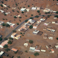
An aerial view of São Felipe shows the mixture of decaying homes with beautiful pastel buildings with terracotta tiled roofs.

http://www.ricdigitalcommons.com/Baxter_temp/CV-81-259.jpg
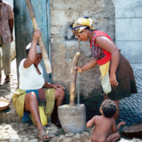
Unidentified women, residents of Tarrafal, São Nicolau, prepare dried corn with a mortar and pestle. Note also the cobblestone streets, which are a trademark of Cape Verde cities and villages.

http://www.ricdigitalcommons.com/Baxter_temp/CV-81-085.jpg
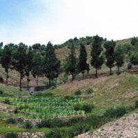
Journey to Ribeira Grande, one of the most spectacular road trips a visitor to Cape Verde can experience. The foothills on the journey to Ribeira Grande are filled with forest plantations and cool air.

http://www.ricdigitalcommons.com/Baxter_temp/CV-81-295.jpg
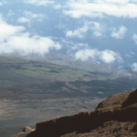
Looking down from Pico do Fogo to the island below, a city can be seen on the horizon [pehaps São Felipe?].

http://www.ricdigitalcommons.com/Baxter_temp/CV-81-316.jpg
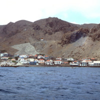
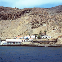
Photographed from a boat en route to Brava from Fogo is the port town of Furna. Furna lies in an extinct volcano crater, and is the main port for the island.
http://www.ricdigitalcommons.com/Baxter_temp/CV-81-317.jpg
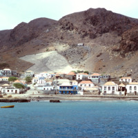
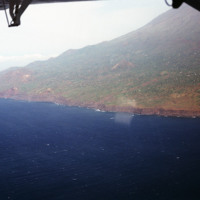
Furna, the main port on Brava, is photographed from an approaching boat carrying goods and passengers from Fogo.

http://www.ricdigitalcommons.com/Baxter_temp/CV-81-318.jpg
View of Furna from the harbor. This photograph was taken from a boat traveling from Fogo to Brava carrying passengers, goods and livestock.

http://www.ricdigitalcommons.com/Baxter_temp/CV-81-197.jpg
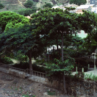
Garden with several types of flowers including possibly the Amaryllis Red flower where a few species have originated in Africa. They could possibly be Geraniums which originate from the Cape of Good Hope in South Africa.

http://www.ricdigitalcommons.com/Baxter_temp/CV-89-020.jpg
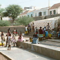
A group of women and children in Vila do Maio wait to get water in large, repurposed plastic buckets.

http://www.ricdigitalcommons.com/Baxter_temp/CV-85-023.jpg
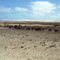
A large group of goats are being herded along the coast of Praia de Cabral ("Cabral Beach").

http://www.ricdigitalcommons.com/Baxter_temp/CV-85-040.jpg
Goats roam a rocky, desolate area just inland from Praia de Cabral ("Cabral Beach'), a white sand beach about two miles from Sal Rei.

http://www.ricdigitalcommons.com/Baxter_temp/CV-80-203.jpg
São Nicolau's fertile hinterland allows it to produce more than the neighboring islands agriculturally. The landscape here is green and lush because of semi-permanent streams created by the surrounding mountains.

http://www.ricdigitalcommons.com/Baxter_temp/CV-89-042.jpg
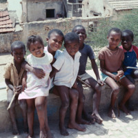
A group of young children happily poses for this portrait taken in Vila do Maio.

http://www.ricdigitalcommons.com/Baxter_temp/CV-88-006.jpg
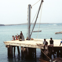
A group of six unidentified children wave off from the end of the Port of Sal Rei. Other locals hang around, possibly to help the boats that are either coming and going.

http://www.ricdigitalcommons.com/Baxter_temp/CV-81-305.jpg
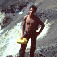
David Baxter's guide to Pico do Fogo, a volcano on Fogo that is mostly dormant but has erupted as recently as 1995.
Output Formats

atom, dcmes-xml, json, omeka-xml, rss2