Browse Items (1954 total)

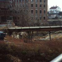
http://www.ricdigitalcommons.com/temp/5422.jpg
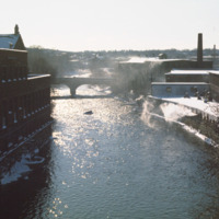
  The 1840s Blackstone Falls mill complex was turned into 133 units of housing for the elderly. The mill was located on a difficult site: two of its buildings were on an island in the Blackstone River, connected by a series of bridges across a canal.…

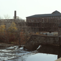
http://www.ricdigitalcommons.com/temp/5424.jpg
The 1840s Blackstone Falls mill complex was turned into 133 units of housing for the elderly. The mill was located on a difficult site: two of its buildings were on an island in the Blackstone River, connected by a series of bridges across a canal.…

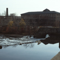
http://www.ricdigitalcommons.com/temp/5425.jpg
  The 1840s Blackstone Falls mill complex was turned into 133 units of housing for the elderly. The mill was located on a difficult site: two of its buildings were on an island in the Blackstone River, connected by a series of bridges across a canal.…

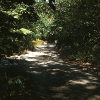
http://www.ricdigitalcommons.com/temp/5434.jpg
Blackstone Park, located between Angel St. and the grounds of Butler hospital, lies on land donated to the city by Moses Brown Jenkins in the 1860s. It is some of the hilliest land in Providence, and thus unsuitable for residential development. The…

http://www.ricdigitalcommons.com/temp/1314.jpg
Even before it was officially incorporated as a town in 1867, Woonsocket was home to numerous textile industries because of the water power provided by the Blackstone River. However, the industry ended after the Great Depression and the city had to…

http://www.ricdigitalcommons.com/temp/5433.jpg
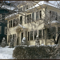
  A single family home in the Blackstone neighborhood on Providence’s East Side, photographed during the winter of 1974. The East Side is the oldest, and most affluent section of Providence, containing some of the states earliest settlements. 

http://www.ricdigitalcommons.com/temp/4933.jpg
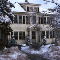
A single family home in the Blackstone neighborhood on Providence’s East Side, photographed during the winter of 1974. The East Side is the oldest, and most affluent section of Providence, containing some of the states earliest settlements.

http://www.ricdigitalcommons.com/temp/5579.jpg
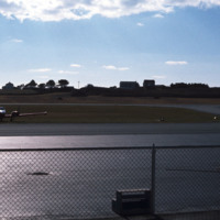
  Block Island State Airport (BID) opened in 1950. It maintains scheduled service to Westerly State Airport, but is primarily used for general aviation. It is mostly used for single engine crafts, providing an alternative to the ferry as a connection…
http://www.ricdigitalcommons.com/temp/5564.jpg
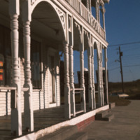
  The Block Island City Drug Store is located in the Old Harbor District of the island. The majority of the buildings and hotels in this district are painted white with cottage style details, reflecting the seaside resort style prominent in the…

http://www.ricdigitalcommons.com/temp/5573.jpg
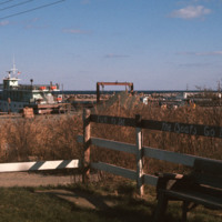
  The dock in the Old Harbor District of Block Island is the arrival port for the ferries that carry visitors and supplies to the Island, which is located just twelve miles off the southern coast of Rhode Island. Block Island saw a surge in…

http://www.ricdigitalcommons.com/temp/5567.jpg
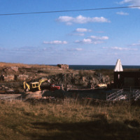
  The City Drug Store is one of the late nineteenth century buildings located in the Old Harbor District. Development, which was rare in the first half of the twentieth century on the island, is taking place around the square in this photo from the…

http://www.ricdigitalcommons.com/temp/5574.jpg
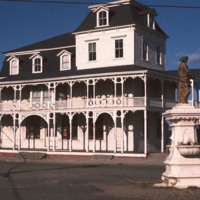
  The Block Island City Drug Store is located in the Old Harbor District of the island. The majority of the buildings and hotels in this district are painted white with cottage style details, reflecting the seaside resort style prominent in the…

http://www.ricdigitalcommons.com/Baxter_temp/CV-85-068.jpg
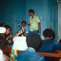
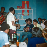
Pictured is a gathering in Cape Verde known as a "despedida" or farewell party. This particular one, on the island of Boa Vista, is held for those individuals leaving the island. Some local musicians are seen in the background, probably getting ready…

http://www.ricdigitalcommons.com/Baxter_temp/CV-85-069.jpg
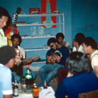
Pictured is a gathering in Cape Verde known as a "despedida" or farewell party. This particular one, on the island of Boa Vista, is held for those individuals leaving the island. A small circle of local musicians have gathered and are playing music…

http://www.ricdigitalcommons.com/Baxter_temp/CV-85-070.jpg
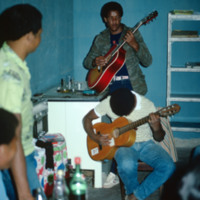
Pictured is a gathering in Cape Verde known as a "despedida" or farewell party. This particular one, on the island of Boa Vista, is held for those individuals leaving the island.

Boa Vista is a well known source of fine Cape Verdean musicians. Two…

http://www.ricdigitalcommons.com/Baxter_temp/CV-85-071.jpg
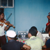
Pictured is a gathering in Cape Verde known as a "despedida" or farewell party. This particular one, on the island of Boa Vista, is held for those individuals leaving the island.

One guitarist and one violinist perform for guests. Boa Vista is a…

http://www.ricdigitalcommons.com/Baxter_temp/CV-85-072.jpg
Pictured is a gathering in Cape Verde known as a "despedida" or farewell party. This particular one, on the island of Boa Vista, is held for those individuals leaving the island. A small circle of local musicians are playing music to entertain guests…

http://www.ricdigitalcommons.com/Baxter_temp/CV-81-234.jpg
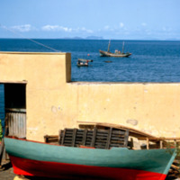
Small, wooden boat on the shore in Tarrafal. On the horizon, two uninhabited islands, Raso and Branco, with fishing vessels in the foreground. Tarrafal is home to one of the first tuna cannery's in Cape Verde, SUCLA. It was founded by the Preitas…

http://www.ricdigitalcommons.com/Baxter_temp/CV-81-229.jpg
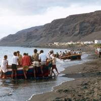
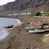
Small, wooden fishing vessels are dragged back onto shore after a days work in Tarrafal. This coastal town on the western shore of São Nicolau relies largely on fishing industries to fuel it's local economy.

http://www.ricdigitalcommons.com/Baxter_temp/CV-83-009.jpg
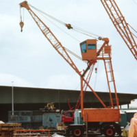
Machinery used for boat maintenance at Porto Grande. Here, two cranes are pictured, which may also be used for loading and unloading cargo.

http://www.ricdigitalcommons.com/Baxter_temp/CV-83-010.jpg
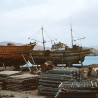
Boats in dry dock at Porto Grande are maintained and repaired.

http://www.ricdigitalcommons.com/Baxter_temp/CV-81-029.jpg
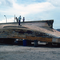
A wooden ship in Mindelo is brought ashore for repairs.

http://www.ricdigitalcommons.com/Baxter_temp/CV-81-313.jpg
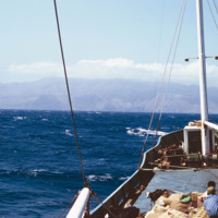
Photograph taken aboard a boat travelling to Brava from Fogo. On the horizon Brava extends into the clouds. Aboard the boat livestock, goods and passengers mingle together.

http://www.ricdigitalcommons.com/Baxter_temp/CV-81-231.jpg
This photo was taken along the shoreline of Tarrafal. At the end of the day these wooden fishing vessels are dragged back on shore for storage. Here one last boat is being dry docked. Learning to successfully fish at a young age is viewed as a rite…

http://www.ricdigitalcommons.com/Baxter_temp/CV-81-228.jpg
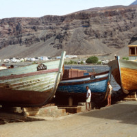
Pictured are two boys standing amidst three large fishing boats. This photo was taken on the waterfront of Tarrafal Bay. In the background the sprawl from the port-town, Tarrafal, can be seen doting the coast. Fishing industries are a large part of…

http://www.ricdigitalcommons.com/Baxter_temp/CV-85-010.jpg
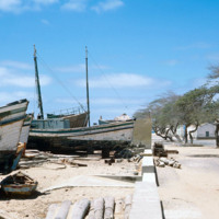
This photo shows several boats pulled ashore, almost to the street line.

JM-IAIRI-1976XXXX-36.jpg
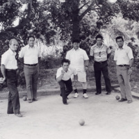
Four men standby as one throws a bocce ball. Bocce was brought to America by Italian immigrants. This photo was taken in the Knightsville neighborhood of Cranston, Rhode Island.

2_guidetopvd.jpg
Image of a resource used in "Rhode Island College Campus Architecture and Named Places."

index_richerheritage.jpg
Image of a resource used in "Rhode Island College Campus Architecture and Named Places."

index-1_howbuildingslearn.jpg
Image of a resource used in "Rhode Island College Campus Architecture and Named Places."

index-2_modernarchitecture.jpg
Image of a resource used in "Rhode Island College Campus Architecture and Named Places."

http://www.ricdigitalcommons.com/temp/0432.jpg
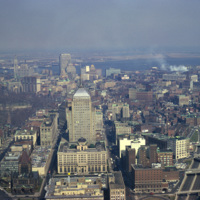
  An aerial of Boston taken from the Prudential Skywalk Observatory at the top of the Prudential Tower.

http://www.ricdigitalcommons.com/temp/0422.jpg
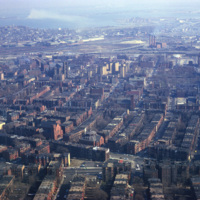
  An Aerial view of Boston from the Skywalk Observatory, located on the 60th floor of the Prudential Tower. 

http://www.ricdigitalcommons.com/temp/0433.jpg
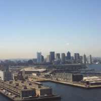
  Boston’s downtown skyline and harbor are picture here in 1979. Boston harbor has been a hub for the shipping industry for centuries, beginning in the late 1600s with the boom of ship building in the colonies. 

http://www.ricdigitalcommons.com/temp/0413.jpg
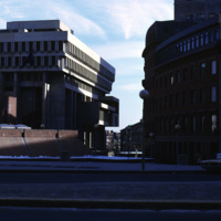
  Boston City Hall is the centerpiece of Government Center which consists of both commercial and civic buildings. Construction began on the site in 1963 and was completed in 1969. Kallman, McKinnell and Knowles designed the building. The architects…

http://www.ricdigitalcommons.com/temp/0412.jpg
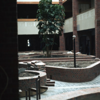
  The Massachusetts Housing Finance Agency was a quasi-public housing agency in the Boston area. Now operating under the name MassHousing, the company is an independent, not-for-profit real estate and development agency specializing in low-income…

http://www.ricdigitalcommons.com/temp/4950.jpg
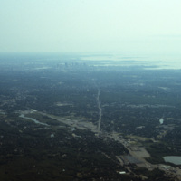
An aerial photo showing the skyline of the city Boston and the cloudy Quincy Bay to its right.

http://www.ricdigitalcommons.com/temp/0825.jpg
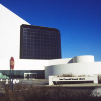
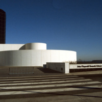
Designed by Chinese-American and modernist master architect I. M. Pei, the John F. Kennedy Presidential Library and Museum opened in 1979 after years of set back. It is located in the Dorchester neighborhood of Boston. This photograph shows the…

http://www.ricdigitalcommons.com/temp/0824.jpg
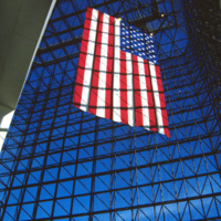
This interior photograph at the John F. Kennedy Presidential Library shows the American flag hanging in a 115 foot grey-glass pavilion. The pavilion stands between a circular section and the 125 foot concrete tower that houses the archives and…

http://www.ricdigitalcommons.com/temp/0822.jpg
The Presidential Library and Museum of 35th President John Fitzgerald Kennedy was dedicated in 1979, but planning for the library began during Kennedy’s life. He even visited potential locations in October 1963. Kennedy chose Boston as a location…

http://www.ricdigitalcommons.com/temp/0835.jpg
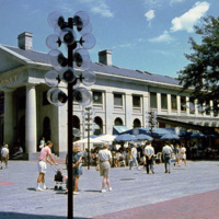
Boston’s Quincy Market, a 19th century marketplace built in the Greek Revival style. It is American architect Alexander Parris’ most famous building, and is made almost entirely of granite from New England. The Quincy Market fell into decline in…

http://www.ricdigitalcommons.com/temp/0826.jpg
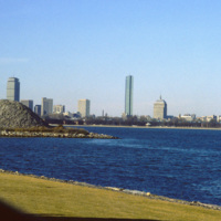
Located on Columbia Point, this is the view of Boston from the John F. Kennedy Presidential Library. Before being redeveloped the site had been a garbage dump. In this view of the Boston skyline are notable skyscrapers (left to right) The Prudential…

http://www.ricdigitalcommons.com/temp/0823.jpg
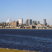
The Boston skyline is photographed from The John F. Kennedy Presidential Library at Columbia Point in this 1987 photograph. In 1963 Kennedy chose Boston as the location of his Presidential Library because he felt the other Presidential Libraries…

http://www.ricdigitalcommons.com/temp/0415.jpg
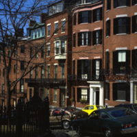
The Boston neighborhood known as the South End (see notes) was once marshland that was filled in the 1840s as a solution to overcrowding in the Back Bay area. Renowned architect Charles Bulfinch created a plan for the South End neighborhood’s…

http://www.ricdigitalcommons.com/temp/0417.jpg
The Boston neighborhood known as the South End (see notes) was once marshland that was filled in the 1840s as a solution to overcrowding in the Back Bay area. Renowned architect Charles Bulfinch created a plan for the South End neighborhood’s…

http://www.ricdigitalcommons.com/temp/0416.jpg
The Boston neighborhood known as the South End (see notes) was once marshland that was filled in the 1840s as a solution to overcrowding in the Back Bay area. Renowned architect Charles Bulfinch created a plan for the South End neighborhood’s…

http://www.ricdigitalcommons.com/temp/0414.jpg
The Boston neighborhood known as the South End (see notes) was once marshland that was filled in the 1840s as a solution to overcrowding in the Back Bay area. Renowned architect Charles Bulfinch created a plan for the South End neighborhood’s…

http://www.ricdigitalcommons.com/Baxter_temp/CV-88-134.jpg
A typical Sunday at Calhau, a popular weekend vacation spot about 12 miles from Mindelo. Note that black volcanic pumice dominates the landscape.

http://www.ricdigitalcommons.com/Baxter_temp/CV-89-040.jpg
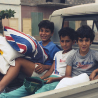
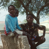
Three unidentified boys pose for a photo in Vila do Maio.

http://www.ricdigitalcommons.com/Baxter_temp/CV-81-050.jpg
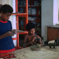
Examples of government supported pottery. Here, two boys in Mindelo make clay figures to be fired and marketed to tourists.
Output Formats

atom, dcmes-xml, json, omeka-xml, rss2